Illustrations
Modern Map North East England Uk stock illustrations
Browse 120+ modern map north east england uk stock illustrations and vector graphics available royalty-free, or start a new search to explore more great stock images and vector art.
Most popular


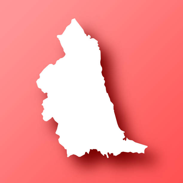
White map of North East isolated on a trendy color, a bright red background and with a dropshadow. Vector Illustration (EPS file, well layered and grouped). Easy to edit, manipulate, resize or colorize. Vector and Jpeg file of different sizes.
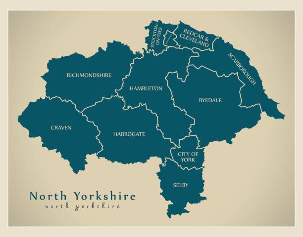
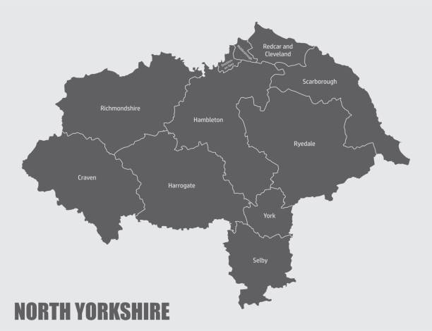
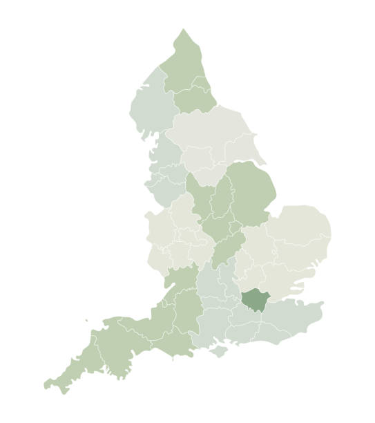
North Yorkshire county, administrative map with labels, England
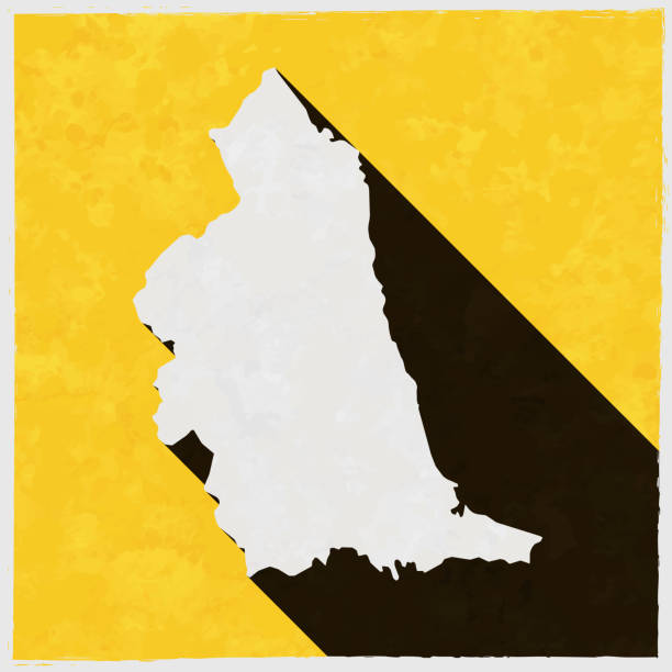
Map of North East in a trendy vintage style. Beautiful retro illustration with old textured yellow paper and a black long shadow (colors used: yellow, white and black). Vector Illustration (EPS10, well layered and grouped). Easy to edit, manipulate, resize or colorize. Vector and Jpeg file of different sizes.
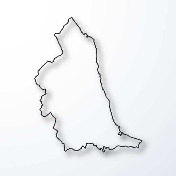
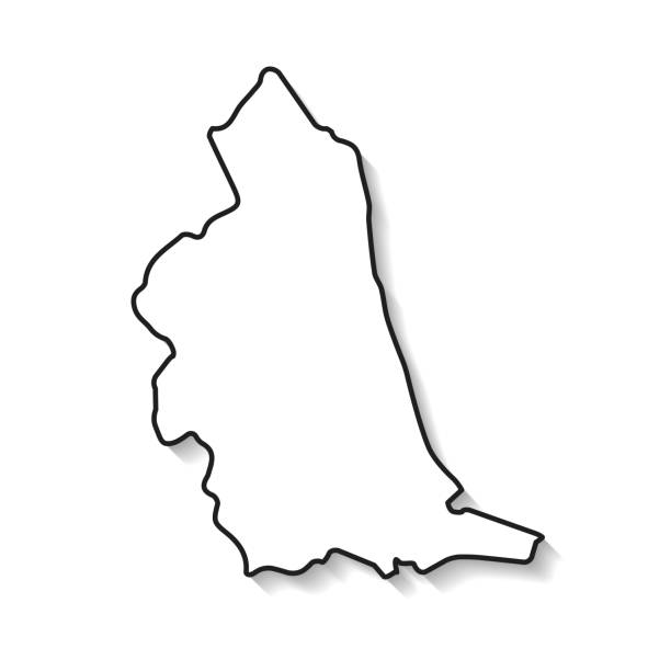
Map of North East created with a thin black outline and a shadow, isolated on a blank background. Vector Illustration (EPS10, well layered and grouped). Easy to edit, manipulate, resize or colorize. Vector and Jpeg file of different sizes.
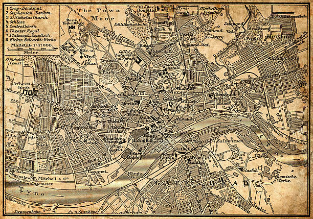
Antique illustration of old Newcastle Upon Tyne map
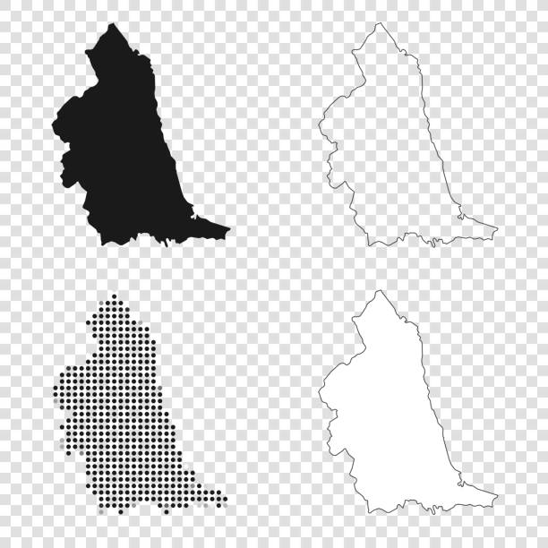
Map of North East for your own design. With space for your text and your background. Four maps included in the bundle: - One black map. - One blank map with only a thin black outline (in a line art style). - One mosaic map. - One white map with a thin black outline. The 4 maps are isolated on a blank background (for easy change background or texture).The layers are named to facilitate your customization. Vector Illustration (EPS10, well layered and grouped). Easy to edit, manipulate, resize or colorize.
Italy map administration regions in green


Love Newcastle Picture. Map of United Kingdom with Heart as City Point. Vector Illustration
Map of North East isolated on a blank background with a black outline and shadow. Vector Illustration (EPS file, well layered and grouped). Easy to edit, manipulate, resize or colorize. Vector and Jpeg file of different sizes.
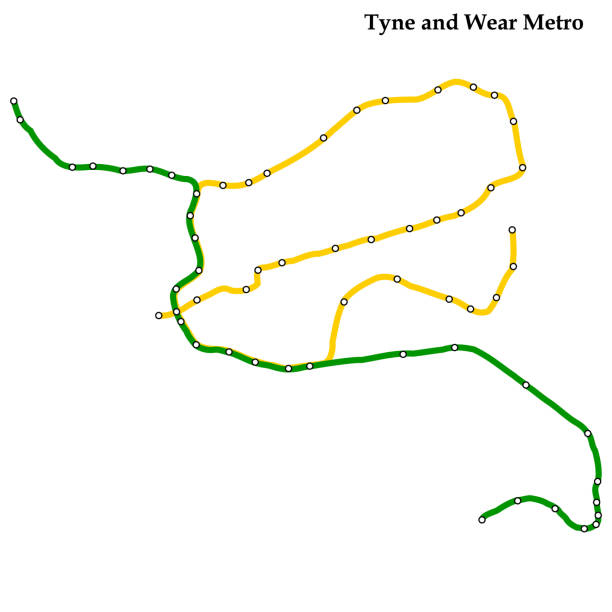
Map of Tyne and Wear metro, Subway, Template of city transportation scheme for underground road. Vector illustration.


silhouette map of the city of Coventry in England on white background
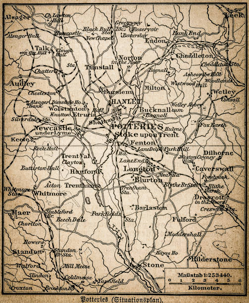
Antique illustration of a Potteries map
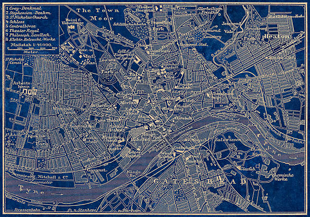
Antique illustration of old Newcastle Upon Tyne map
Italy map administration regions in grey
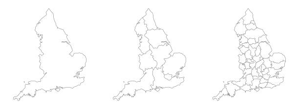
England map set of white-black outline and administrations regions map
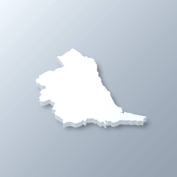
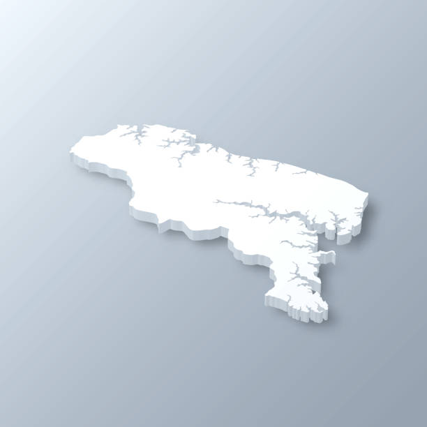
3D map of North East isolated on a blank and gray background, with a dropshadow. Vector Illustration (EPS10, well layered and grouped). Easy to edit, manipulate, resize or colorize. Vector and Jpeg file of different sizes.
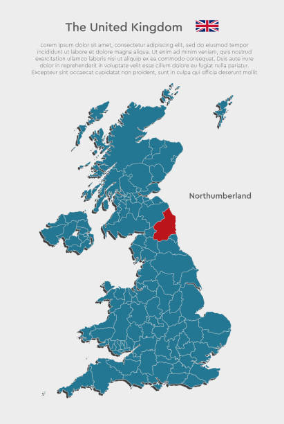
United Kingdom, England - illustration map divided on counties. Blank Great Britain map isolated on white background. Vector template county Northumberland for website, pattern, infographic


Map of North East sketched and isolated on a blank background. The map is gray with a black outline. Vector Illustration (EPS file, well layered and grouped). Easy to edit, manipulate, resize or colorize. Vector and Jpeg file of different sizes.
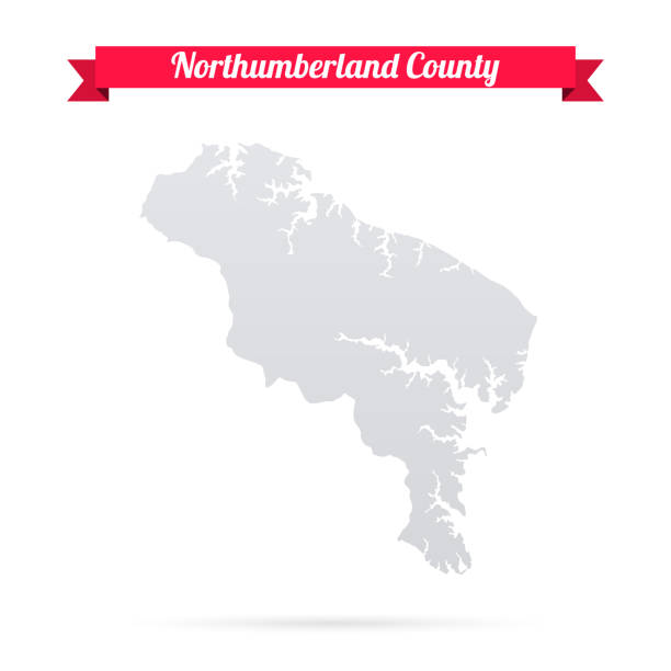
Map of Northumberland County - Virginia, isolated on a blank background and with his name on a red ribbon. Vector Illustration (EPS file, well layered and grouped). Easy to edit, manipulate, resize or colorize. Vector and Jpeg file of different sizes.
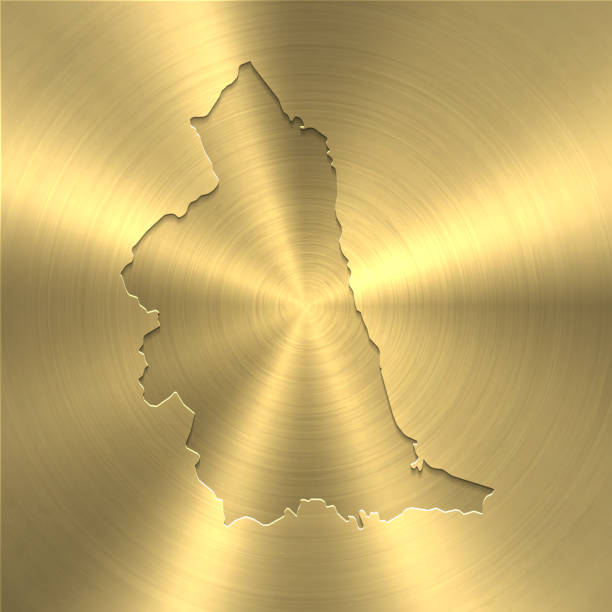
Map of North East on a golden background with an embossing effect. Realistic circular brushed metal similar to a gold medal or coin. Vector Illustration (EPS10, well layered and grouped). Easy to edit, manipulate, resize or colorize. Vector and Jpeg file of different sizes.


3D Map of Northumberland County - Virginia, isolated on a blank and gray background, with a dropshadow. Vector Illustration (EPS file, well layered and grouped). Easy to edit, manipulate, resize or colorize. Vector and Jpeg file of different sizes.
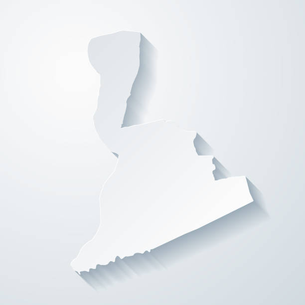
Map of Northumberland County - Pennsylvania, with a realistic paper cut effect isolated on white background. Trendy paper cutout effect. Vector Illustration (EPS file, well layered and grouped). Easy to edit, manipulate, resize or colorize. Vector and Jpeg file of different sizes.


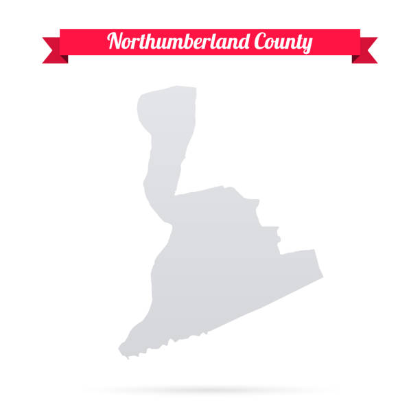
Map of Northumberland County - Pennsylvania, isolated on a blank background and with his name on a red ribbon. Vector Illustration (EPS file, well layered and grouped). Easy to edit, manipulate, resize or colorize. Vector and Jpeg file of different sizes.

Map of North East created with a thin black outline and light rays. Trendy and modern illustraion isolated on a blank background. Vector Illustration (EPS10, well layered and grouped). Easy to edit, manipulate, resize or colorize.

Map of North East created with round blue dots on a blank background. Modern and trendy mosaic illustration. Vector Illustration (EPS10, well layered and grouped). Easy to edit, manipulate, resize or colorize.

Map of North East isolated on a blank background with a black outline and shadow. Vector Illustration (EPS file, well layered and grouped). Easy to edit, manipulate, resize or colorize. Vector and Jpeg file of different sizes.


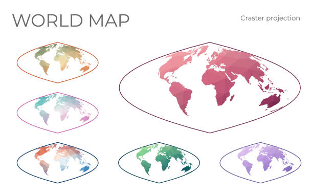
Low Poly World Map Set. Craster parabolic projection. Collection of the world maps in geometric style. Vector illustration.

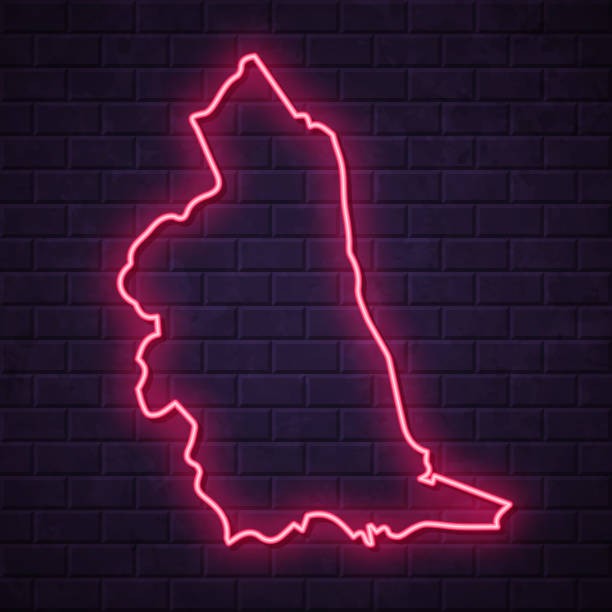
Map of North East in a realistic neon sign style. The map is created with a pink glowing neon light on a dark brick wall. Modern and trendy illustration with beautiful bright colors. Vector Illustration (EPS10, well layered and grouped). Easy to edit, manipulate, resize or colorize.
Map of North East created with pink and purple square dots on a blank background. Modern and trendy mosaic illustration in pixel art style. Vector Illustration (EPS file, well layered and grouped). Easy to edit, manipulate, resize or colorize. Vector and Jpeg file of different sizes.


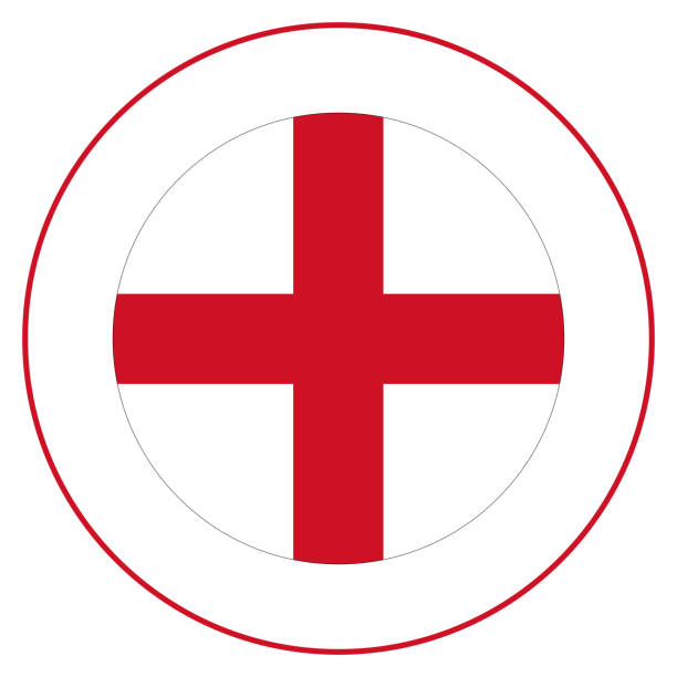
Flag of England. England flag in the circle.

Map of North East in realistic white frame isolated on blank wall (colors used: blue, green, gray and white). Vector Illustration (EPS10, well layered and grouped). Easy to edit, manipulate, resize or colorize.

Map of North East with a mesh of straight lines and a slight shadow, on a gray blank background. Conceptual illustration of networks (communication, connection, social, internet, ...). Vector Illustration (EPS10, well layered and grouped). Easy to edit, manipulate, resize or colorize. Vector and Jpeg file of different sizes.

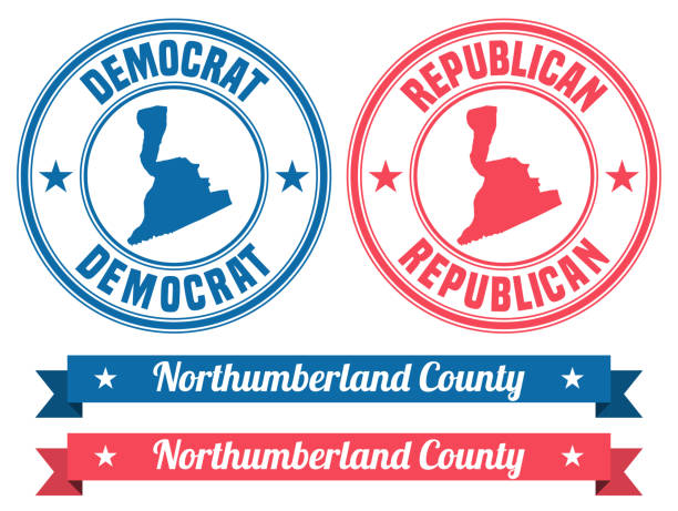
Map of Northumberland County - Pennsylvania, on two blue and red rubber stamps. Two versions included in the bundle: - One blue stamp with the map in the middle and the word "Democrat" around. - One red stamp with the map in the middle and the word "Republican" around. And also two blue and red banners with the name of the county. Vector Illustration (EPS file, well layered and grouped). Easy to edit, manipulate, resize or colorize. Vector and Jpeg file of different sizes.
Map of Northumberland County - Virginia, with a realistic paper cut effect isolated on white background. Trendy paper cutout effect. Vector Illustration (EPS file, well layered and grouped). Easy to edit, manipulate, resize or colorize. Vector and Jpeg file of different sizes.

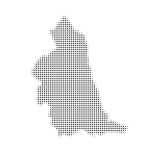
Map of North East created with round dots, isolated on a blank background. Modern and trendy mosaic illustration in halftone style. Vector Illustration (EPS file, well layered and grouped). Easy to edit, manipulate, resize or colorize. Vector and Jpeg file of different sizes.
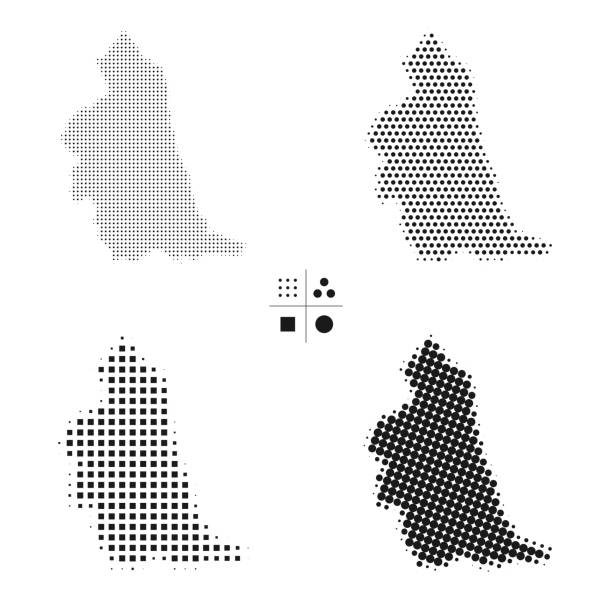
Maps of North East created with round dots and square dots, isolated on a white and blank background. Modern and trendy mosaic illustrations in different halftone styles. Vector Illustration (EPS file, well layered and grouped). Easy to edit, manipulate, resize or colorize. Vector and Jpeg file of different sizes.

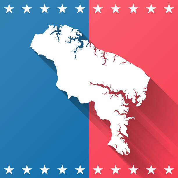
Map of Northumberland County - Virginia, on a blue and red colored background. The blue color represents the Democratic Party and the red color represents the Republican Party. White stars are placed above and below the map. Vector Illustration (EPS file, well layered and grouped). Easy to edit, manipulate, resize or colorize. Vector and Jpeg file of different sizes.
Next