Illustrations
Browse 4,500+ north carolina map pic stock illustrations and vector graphics available royalty-free, or start a new search to explore more great stock images and vector art.

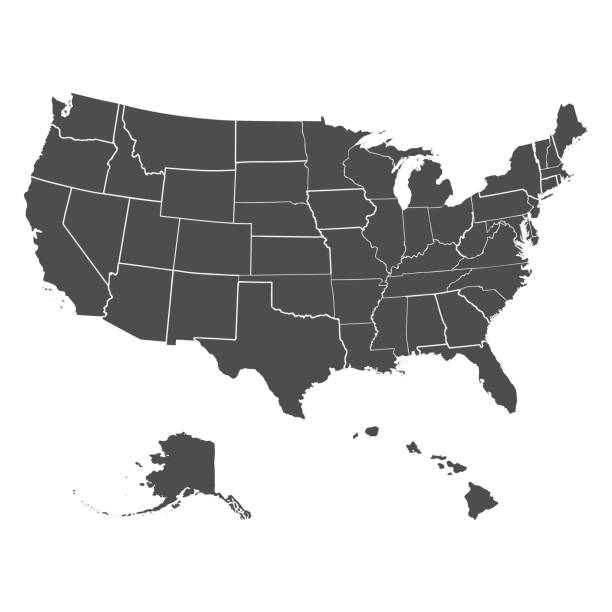
USA map, extra files; ai,pdf,png,jpeg(hi-res)

Topographic / Road map of Greensboro, NC. Map data is public domain via census.gov. All maps are layered and easy to edit. Roads are editable stroke.


North Carolina vector map with single border line boundary using light green color on dark background

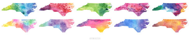
vector of the North Carolina map

Every state is a seperate object that has a complete boundary that you can edit it. The map and scales are accurately prepared by a map expert.


Poster Style Topographic / Road map of Raleigh, North Carolina, United States of America. Original map data is open data via © OpenStreetMap contributors. All maps made by me are layered and easy to edit.

Map of North Carolina for your own design. With space for your text and your background. Four maps included in the bundle: - One black map on a white background. - One blank map on a black background. - One white map with shadow on a blank background (for easy change background or texture). - One blank map with only a thin black outline (in a line art style). The layers are named to facilitate your customization. Vector Illustration (EPS10, well layered and grouped). Easy to edit, manipulate, resize or colorize. Please do not hesitate to contact me if you have any questions, or need to customise the illustration. http://www.istockphoto.com/portfolio/bgblue

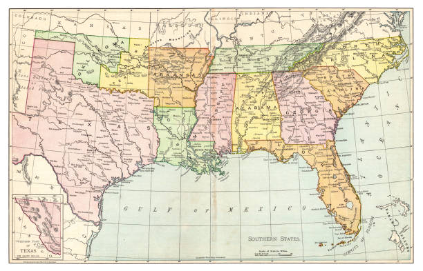
Very Rare, Beautifully Illustrated Antique Victorian Engraved Colored Map of The Eastern Southern States of the United States of America, Published in 1899. Source: Original edition from my own archives. Copyright has expired on this artwork. Digitally restored.

vector of the North Carolina map

Welcome to North Carolina vintage rusty license plate on a white background, vector illustration


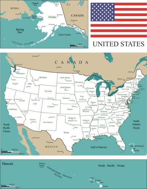
Downloadable outline vector map of United States of America for educational purposes. The map is accurately prepared by a map expert.

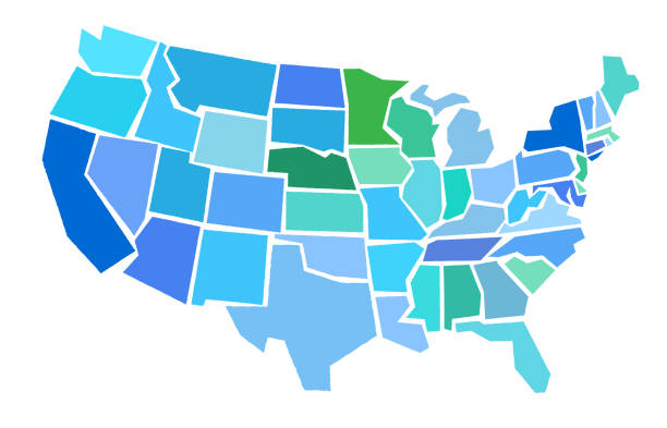
Representation of United States divided into states and regions. Infographic.


Raleigh NC City Vector Road Map Blue Horizontal. All source data is in the public domain. U.S. Census Bureau Census Tiger. Used Layers: areawater, linearwater, roads.


vector of the North Carolina map
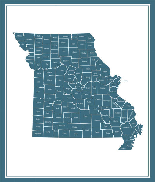
Downloadable county map of Missouri state of United States of America. The map is accurately prepared by a map expert.

Topographic / Road map of Asheville, NC. Map data is public domain via census.gov. All maps are layered and easy to edit. Roads are editable stroke.
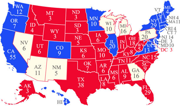
United States of America 2020 presidential election map with electoral college votes by state and swing states. 270 electoral college votes are required to win the presidency. The map is accurately prepared by a map expert. The reference for the number of electoral college votes by state can be found at https://www.archives.gov/electoral-college/allocation


History of the United States by E. Benjamin Andrews - Charles Scribners Son, New York 1895


map of the U.S. state North Carolina on a white background

North Carolina US State Vector Road Map Grey. All source data is in the public domain. Roads, Water, Regions, Urban Areas: Made with Natural Earth. https://www.naturalearthdata.com/downloads/10m-physical-vectors/ https://www.naturalearthdata.com/downloads/10m-cultural-vectors/
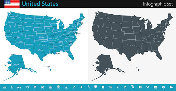
Vector maps of the United States with variable specification and icons

Stylized map of the U.S. state of North Carolinavector illustration. Silhouette and outline witth editable stroke

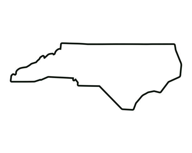
North Carolina state map. US state map. North Carolina outline symbol. Vector illustration


South Carolina, state of USA - solid black silhouette map of country area. Simple flat vector illustration.
Set of US states in the map of America on a white background

Representation of United States divided into states and regions. Infographic.

The Rand-McNally Grammar School Geography 1895 - Chicago & New York

Map of North Carolina with a cell of the novel coronavirus (COVID-19, 2019-nCoV) in the center of a red viewfinder. White map isolated on a blue green background. (colors used: blue, green, red and black). Conceptual image: coronavirus detected, closing of borders, area under control, stop coronavirus, defeat the virus, quarantined area, spread of the disease, coronavirus outbreak on the territory, virus alert, danger zone, confined space. Vector Illustration (EPS10, well layered and grouped). Easy to edit, manipulate, resize or colorize.


Topographic / Road map of Raleigh, North Carolina, United States of America. Original map data is open data via © OpenStreetMap contributors. All maps made by me are layered and easy to edit.
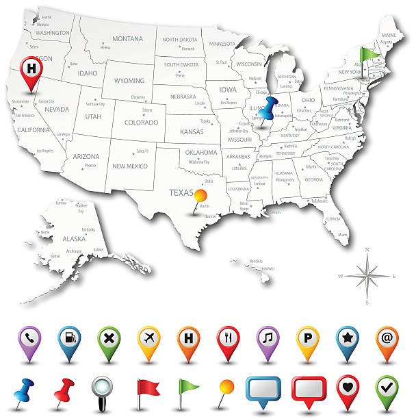
Vector USA map with pins. Download includes high resolution jpeg. All elements are separated in editable layers.

Poster Style Topographic / Road map of Asheville, NC. Map data is public domain via census.gov. All maps are layered and easy to edit. Roads are editable stroke.
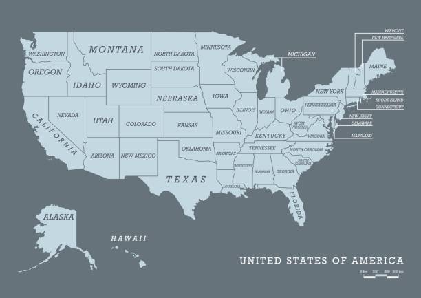
USA map with name of states. Vector illustration


vector of the North Carolina map

Map of North Carolina Vector Illustration Design Template. USA State. Vector eps 10.

Hurricane Helene 2024 Track North Atlantic Ocean Infographic. Map projection: World Miller Cylindrical. All source data is in the public domain. NOAA's International Best Track Archive for Climate Stewardship (IBTrACS) data. Countries and Boundaries: Made with Natural Earth.