Philadelphia Aerial stock illustrations
Browse 40+ philadelphia aerial stock illustrations and vector graphics available royalty-free, or search for philadelphia aerial view to find more great stock images and vector art.
Most popular
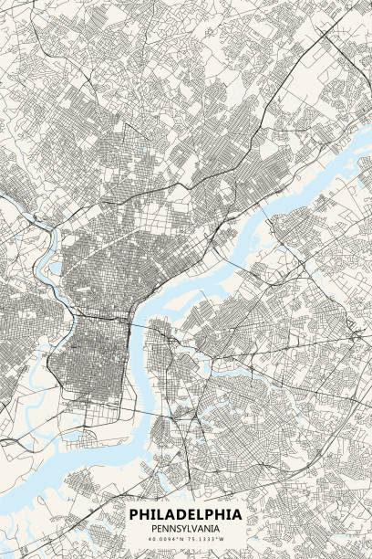
Vector Illustration of a City Street Map of Philadelphia, Pennsylvania, USA. Scale 1:60,000. All source data is in the public domain. U.S. Geological Survey, US Topo Used Layers: USGS The National Map: National Hydrography Dataset (NHD) USGS The National Map: National Transportation Dataset (NTD)
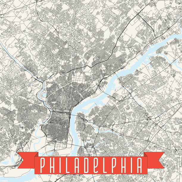
Vector poster map city Philadelphia detailed plan of the city, rivers and streets

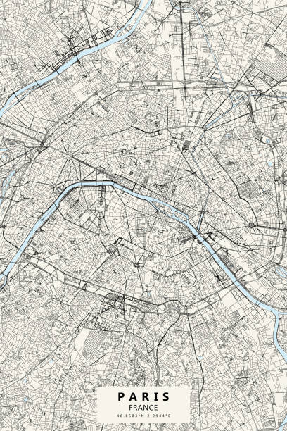
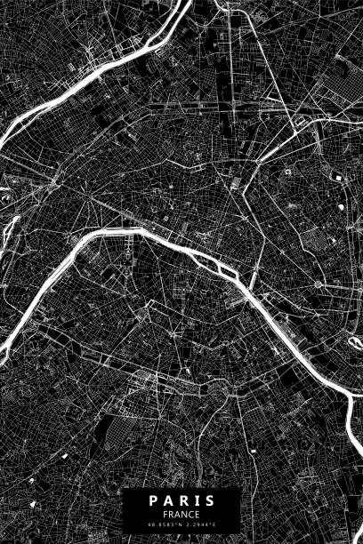
Topographic / Road map of Paris, France. Original map data is open data via © OpenStreetMap contributors
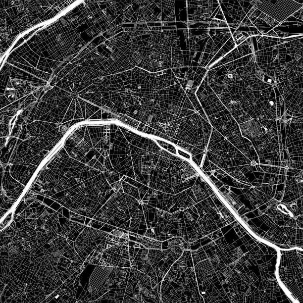
Poster Style Topographic / Road map of Paris, France. Original map data is open data via © OpenStreetMap contributors
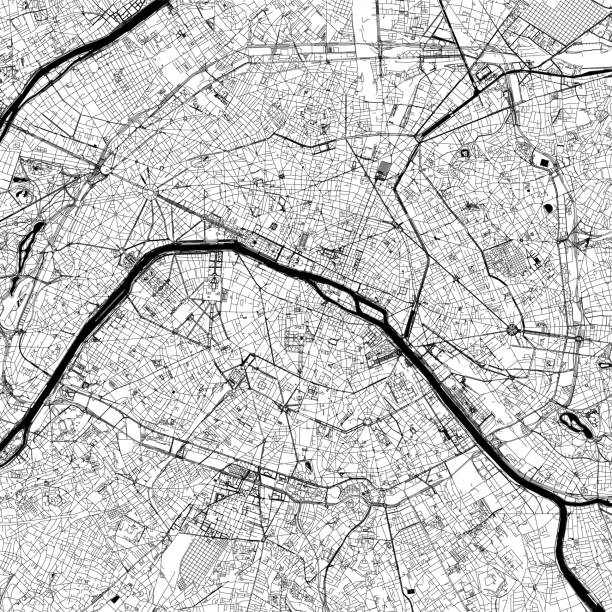
Topographic / Road map of Paris, France. Original map data is open data via © OpenStreetMap contributors
Topographic / Road map of Paris, France. Original map data is open data via © OpenStreetMap contributors

green color city district vector map.
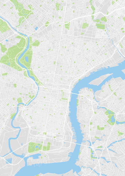
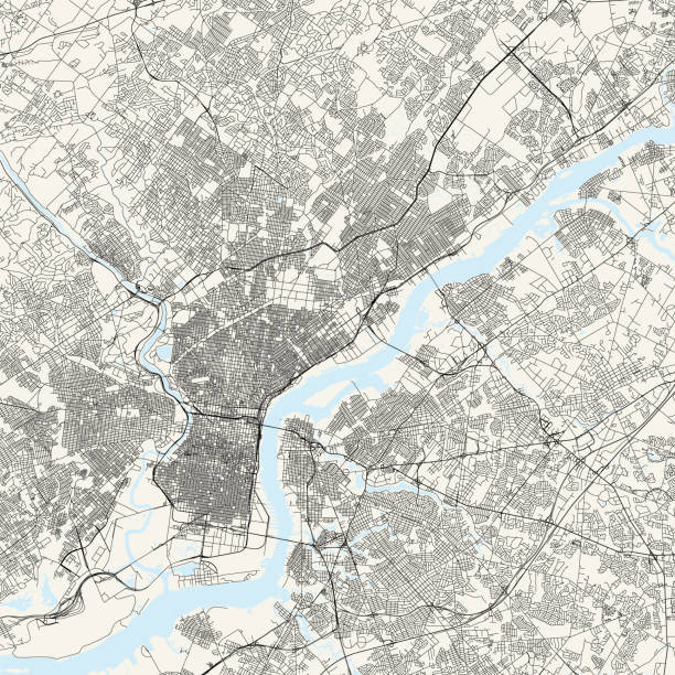
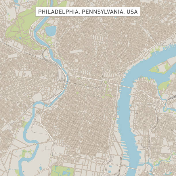
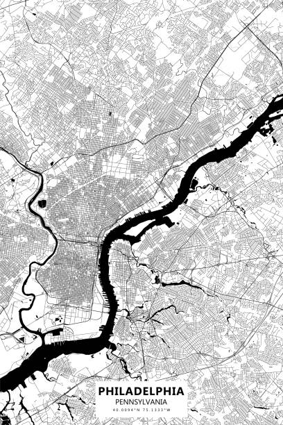
Topographic / Road map of Philadelphia, Pennsylvania. Original map data is public domain sourced from www.census.gov/

Poster Style Topographic / Road map of Paris, France. Original map data is open data via © OpenStreetMap contributors
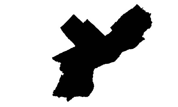
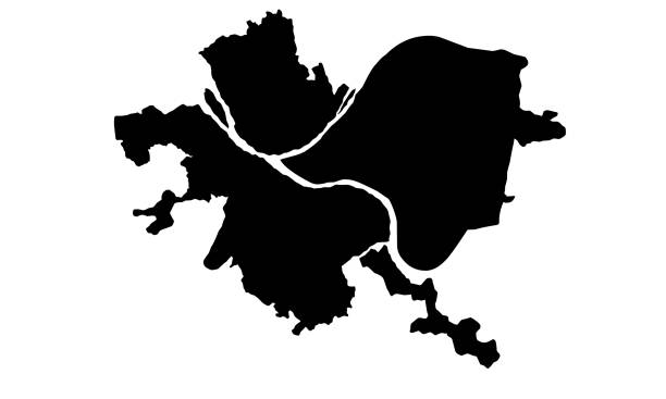
silhouette map of Philadelphia city in Pennsylvania on white background
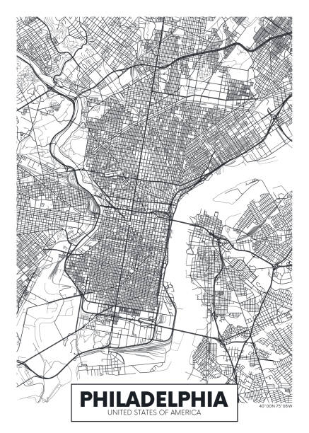
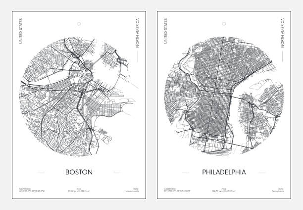
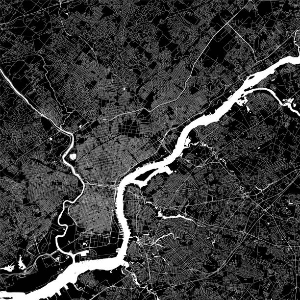
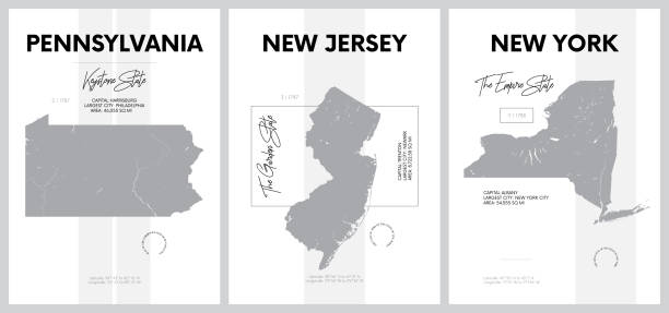
Poster Style Topographic / Road map of Philadelphia, Pennsylvania. Original map data is public domain sourced from www.census.gov/
Topographic / Road map of Philadelphia, Pennsylvania. Original map data is public domain sourced from www.census.gov/
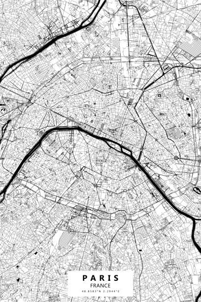
Poster Style Topographic / Road map of Paris, France. Original map data is open data via © OpenStreetMap contributors
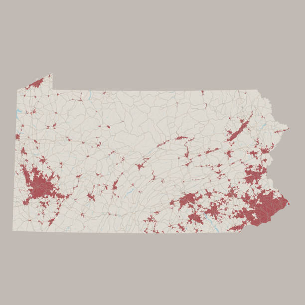
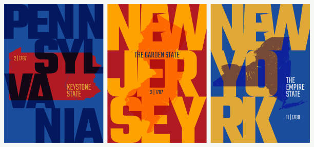
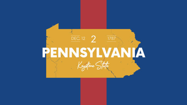
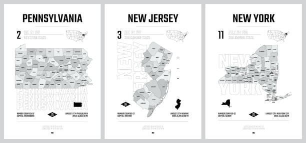
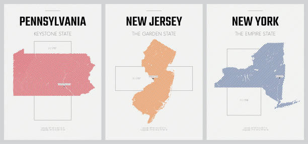
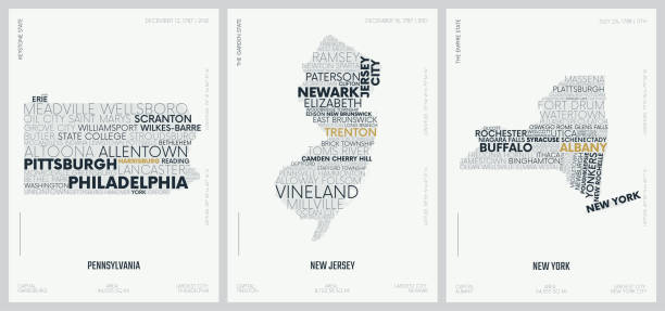
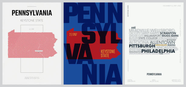
Vector Illustration of a Road Map of Pennsylvania State, USA. All source data is in the public domain. U.S. Geological Survey, US Topo Used Layers: USGS The National Map: National Hydrography Dataset (NHD) USGS The National Map: National Transportation Dataset (NTD)
black silhouette map of the city of Pittsburgh in Pennsylvania on white background
Poster Style Topographic / Road map of Philadelphia, Pennsylvania. Original map data is public domain sourced from www.census.gov/
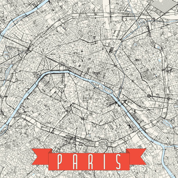
Topographic / Road map of Paris, France. Original map data is open data via © OpenStreetMap contributors
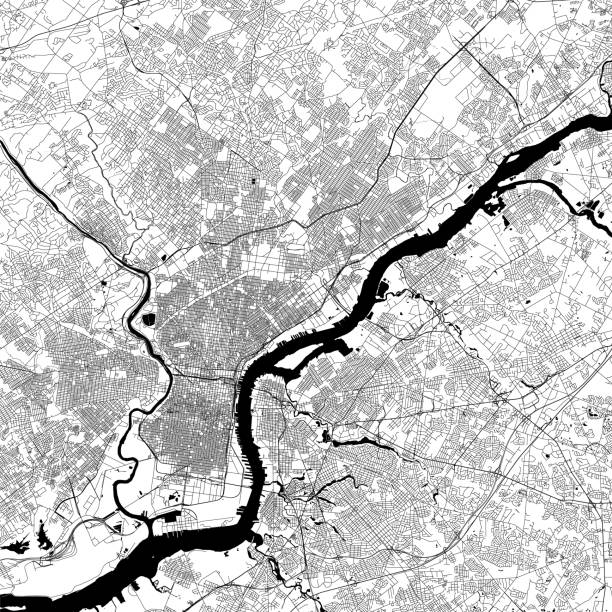
Topographic / Road map of Philadelphia, Pennsylvania. Original map data is public domain sourced from www.census.gov/
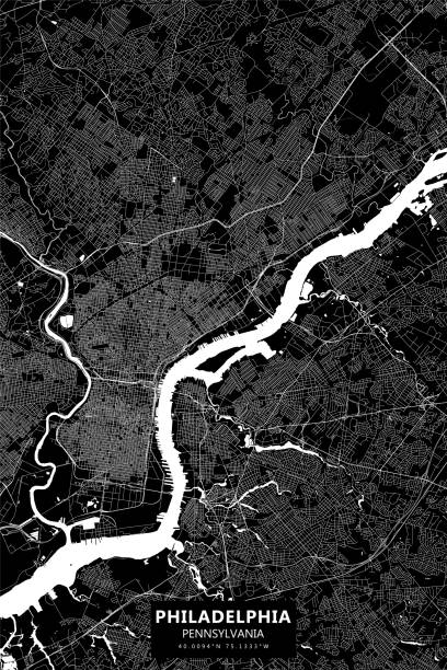
Poster Style Topographic / Road map of Philadelphia, Pennsylvania. Original map data is public domain sourced from www.census.gov/
Topographic / Road map of Philadelphia, Pennsylvania. Original map data is public domain sourced from www.census.gov/
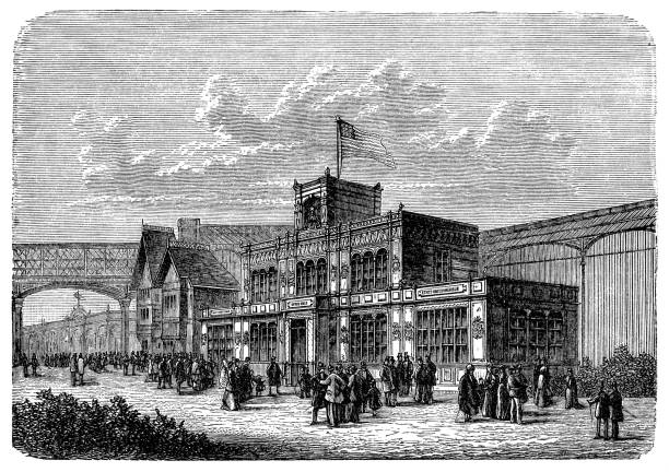
Columbus and Columbia - Philadelphia 1892
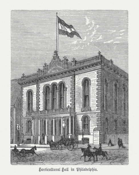
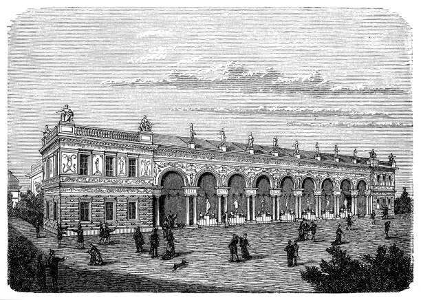
Horticultural Hall in Philadelphia, Pennsylvania, USA. Wood engraving, published in 1876.

Philadelphia city map silhouette in Pennsylvania on white background

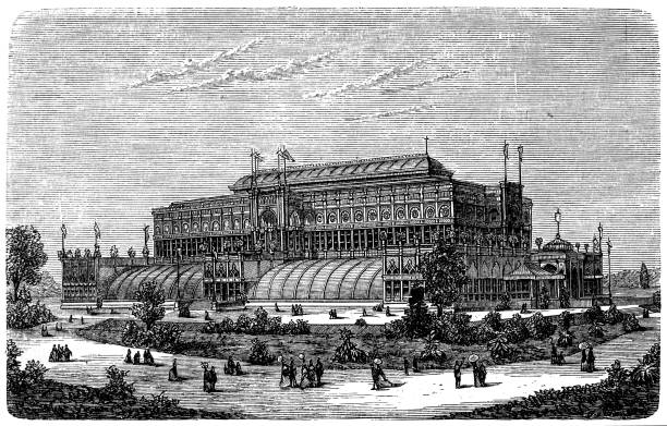
Austrian facade. Valhalla
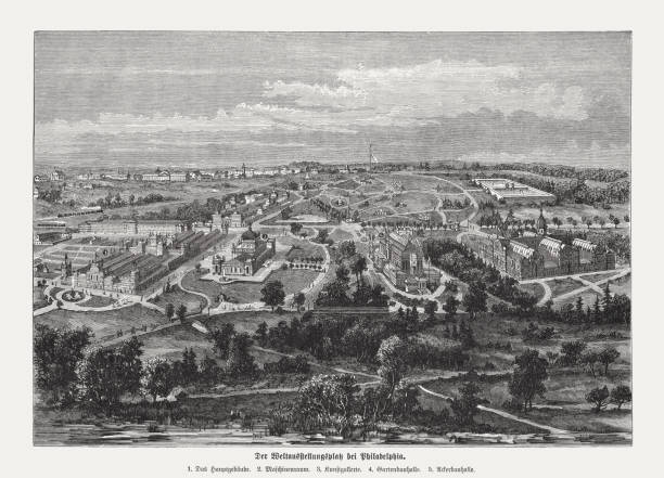
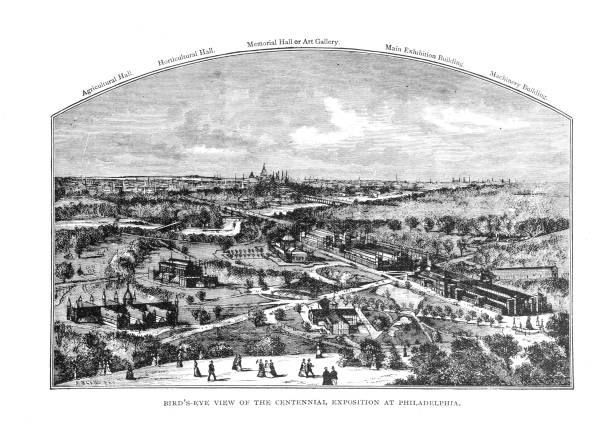
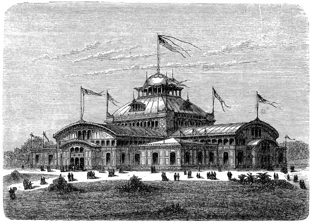
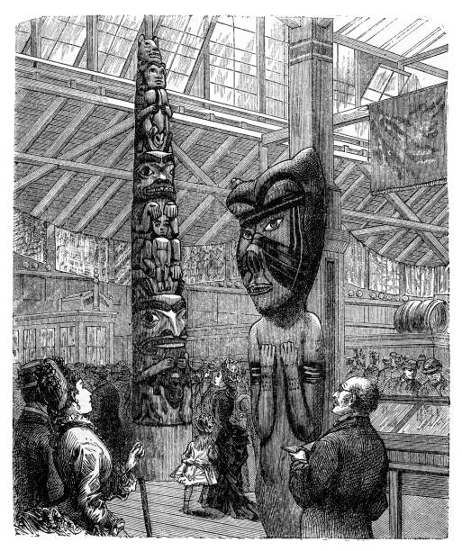
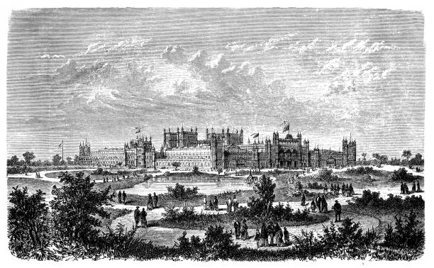
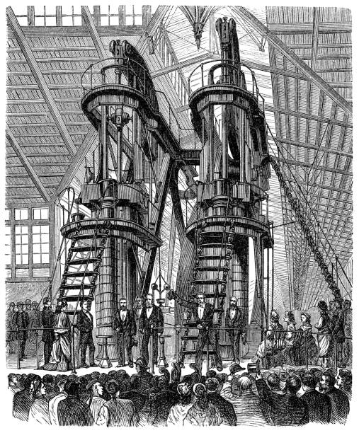
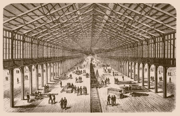
Aerial view of the exhibition grounds of the Centennial International Exhibition of 1876, the first official World's Fair in the United States: 1) Main building; 2) Machine building; 3) Art gallery; 4) Horticultural hall; 5) Agricultural hall. Wood engraving, published in 1876.

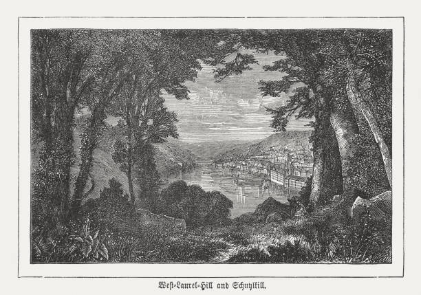
View from the West Laurel Hill on the Schuylkill River in Philadelphia, Pennsylvania, USA. Wood engraving, published in 1876.