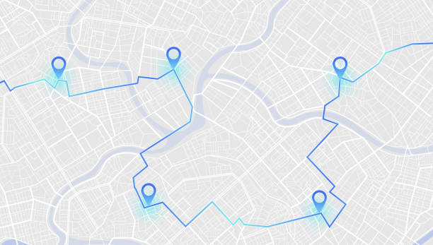
Gps tracking map. Abstract isometric location tracks dashboard. Track navigation pins on street maps, navigate mapping technology and locate position pin. Futuristic travel gps map or location navigator vector illustration
Illustrations
Road Map Background stock illustrations
Browse 21,500+ road map background stock illustrations and vector graphics available royalty-free, or search for us road map background or vintage road map background to find more great stock images and vector art.

Concept of planning and mapping a travel route using a general city map with streets and roads marked. Abstract navigation plan of the urban area depicted as a simple scheme with buildings. Colorful flat vector illustration

Curved winding road with white markings.

Concept of planning and mapping a travel route using a general city map with streets and roads marked. Abstract navigation plan of the urban area depicted as a simple scheme with buildings. Colorful flat vector illustration

Abstract street map background road map design.
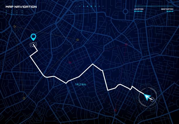
City map navigation interface. GPS navigator vector screen, street roads and location background. City map screen interface with road destination pin, compass and traffic route direction arrows

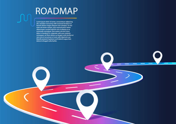
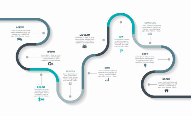
Business roadmap timeline infographic template with pointers designed for city background milestone modern diagram process technology digital marketing data presentation chart Vector illustration

Right way. Vector highway roads with main blue road top view modern illustration. City route unction viaduct night neon dark background.

Abstract city urban road and street map background.
Dark city map concept. Modern technologies and digital world, poster or banner for website. Geolocation and navigation, GPS. Cartography and geography, tourism. Realistic flat vector illustration
Infographic design template with place for your text. Vector illustration.

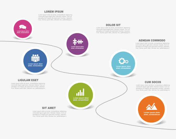
5 Step Roadmap Infographics Multi-colored circles have an icon in the center of the dotted circle. gray gradient background For business, planning, timeline
Location charging station on parking lot with fast supercharger station. Path turns and destination tag or mark. Huge isometric city top view. Tracking path and route planning from home Black background vector. battery recharging service for electric vehicle in city

Location charging station on parking lot with fast supercharger station. Path turns and destination tag or mark. Huge isometric city top view. Tracking path and route planning from home White background vector. battery recharging service for electric vehicle in city

Isometric Gps map navigation to own house. View from above the map buildings. Detailed view of city from above. City top view. Abstract background. Decorative graphic tourist map. Quarter residential buildings. Cute simple design. Flat style, Vector, illustration isolated.

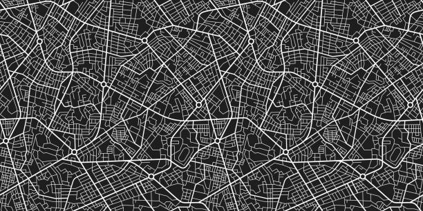
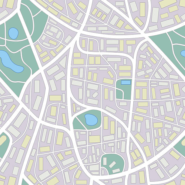
City Map seamless pattern. Simple flat illustration of repeatable city plan with streets.

Gps map navigation to own house.View from above the map buildings. Detailed view of city from above. City top view. Abstract background. Decorative graphic tourist map. Quarter residential buildings. Cute simple design. Flat style, Vector, illustration isolated.

View from above the map buildings. Detailed view of city from above. City top view. Abstract background. Map navigation. Quarter residential buildings. Cute simple design. Flat style, Vector, illustration isolated.

Infographic design template with place for your text. Vector illustration.

Mountain climbing route to the top. Business path to success concept. Mountain peak, climbing route to the top of the cliff. Vector illustration.

Concept of planning and travel route using general city map with streets and roads marked. Abstract navigation plan of the urban area depicted as a simple scheme with buildings. Vector illustration
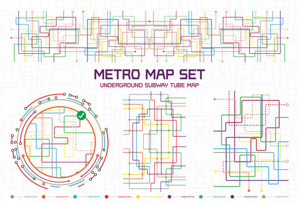
Transparent retro map tube subway scheme. City transportation complex grid. Underground map.

Topographic / Road map of Fort Wayne, Indiana, USA. Map data is public domain via census.gov. All maps are layered and easy to edit. Roads are editable stroke.
City map with gps. Seamless pattern texture with street, road, river, land, park roadmap of city. Urban plan for topography, geography, guidance and travel. Abstract navigation wallpaper. Vector.

HUD navigation background. City map navigation screen interface backdrop with compass, graphs and map points on computer screen. Car trip or delivery destination and location route map on city streets

Map city, gps navigator. City area vector background map, streets and water cartography illustration. Widescreen proportion, digital flat design streetmap. Top view. Abstract transportation. Detailed view of city from above.
Infographic design template with place for your text. Vector illustration.
City street road. City streets and blocks, route distance data, path turns and destination tag or mark. Huge city top view. Location tracks dashboard. Vector, illustration. Abstract transportation background.

Set Gps map navigation to house. View from above the map buildings. Detailed view of city from above. City top view. Abstract background. Decorative graphic tourist map. Quarter residential buildings. Cute simple design. Flat style, Vector, illustration isolated.

3D Realistic Location map pin gps pointer markers, Geolocation and navigation. Icon for mobile and electronic devices, web design, infographic elements, presentation templates. Vector illustration

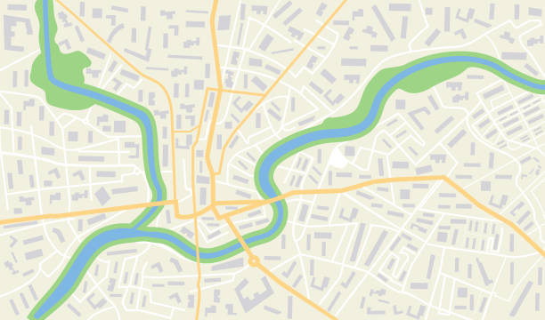
City urban roads and streets abstract map downtown district. Geolocation your location on map with river and grid. Concept of planning and mapping a travel. Flat vector illustration.

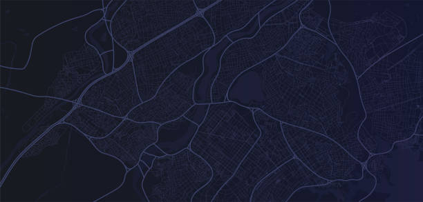
Futuristic city map. Gps location monitor. Top view digital night city. Navigation technology vector background. Illustration of city location, urban navigation street, route and roadmap


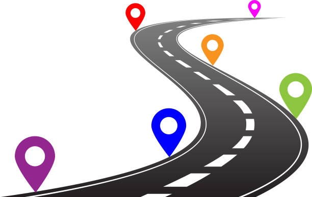
Winding 3D road concept on a transparent background. Timeline template. Vector illustration

Human Resources Vector Style Roadmap Infographic Template of Thin Line Illustrations
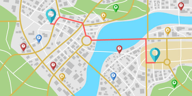
GPS navigation to pins and multiple markers on route. City map featuring directional signs, an intended goal point. Abstract plan highlights POI city streets. Vector illustration includes designated route, alternative paths.

Nant city navigation map with lines and streets. Vector black and white urban planning scheme. Illustration of plan street map, road graphic navigation.

City top view. View from above the map buildings. Gps map. Detailed view of city from above. Decorative graphic tourist map. Quarter residential buildings. Vector, illustration. Abstract transportation background.
GPS map. City street road. Abstract transportation. City top view. Hi-tech vector background. route distance data, path turns and destination tag or mark. Quarter residential buildings. Vector

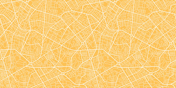
street map of city, seamless map pattern of road. vector illustration

Business roadmap timeline infographic template with pointers designed for abstract background milestone modern diagram process technology digital marketing data presentation chart Vector illustration
seamless pattern of a invented city without names

Map of Lincoln city, Nebraska. Urban black and white poster. Road map image with metropolitan city area view.

Wireframe landscape business concept. 3d vector background technology background.

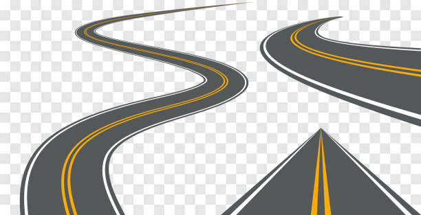
Vector road way winding journey highway illustration. Asphalt street path isolated road.
Business data visualization. timeline infographic icons designed for abstract background template milestone element modern diagram process technology digital marketing data presentation chart Vector
Business road map timeline infographic icons designed for abstract background template milestone element modern diagram process technology digital marketing data presentation chart Vector illustration
Business road map timeline infographic expressway concepts designed for abstract background template milestone diagram process technology digital marketing data presentation chart Vector illustration

Blue city area, background map, streets. City top view. View from above the map. Skyline urban panorama. Cartography illustration. Widescreen proportion, digital flat design streetmap. Vector

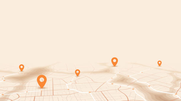
3d render pin pointer and Map location search GPS, travel navigation concept and or internet search bar technology. Paper map, banner, website. Vector illustration
Next