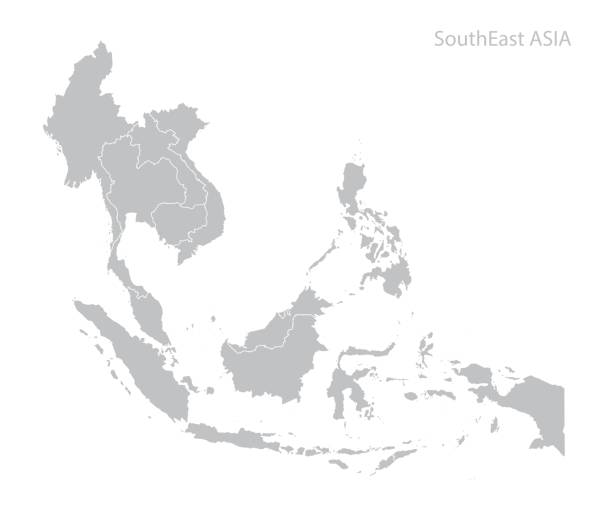
Map of Southeast Asia. Vector
Browse 660+ southeast asia stock illustrations and vector graphics available royalty-free, or search for southeast asia map or southeast asia city to find more great stock images and vector art.
Map of Southeast Asia. Vector
Map of Southeast Asia with names
Transparent - High Detailed Grey Map of Asia. Vector eps10.
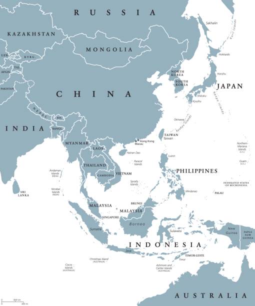
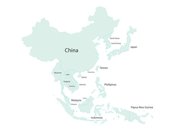
East Asia political map with countries and borders. Eastern subregion of the Asian continent with China, Japan, Mongolia and Indonesia. English labeling. Gray illustration on white background. Vector.
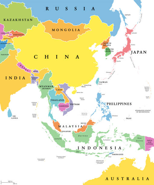
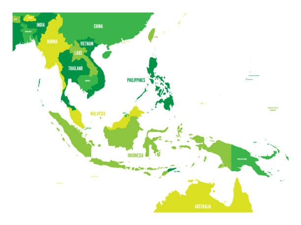
East Asia, single states, political map. All countries in different colors, with national borders, labeled with English country names. Eastern subregion of the Asian continent. Illustration. Vector.
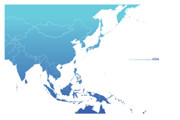
Vector illustration of a map of Asia and all its countries with their names. Cut out design element on a white background.

Abstract image Southeast Asia map from point blue and glowing stars on a dark background. vector illustration Vector eps 10.

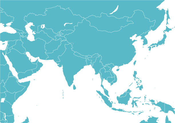
Map of Asia Pacific. Grey map of Asia. Vector illustration.
Southeast Asia map graphic vector - Separated isolated country map for design work or info graphic education and geography
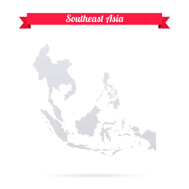
Map of Southeast Asia isolated on a blank background and with his name on a red ribbon. Vector Illustration (EPS10, well layered and grouped). Easy to edit, manipulate, resize or colorize. Please do not hesitate to contact me if you have any questions, or need to customise the illustration. http://www.istockphoto.com/portfolio/bgblue

Map of Southeast Asia for your own design. Three maps with editable stroke included in the bundle: - One black map on a white background. - One line map with only a thin black outline in a line art style (you can adjust the stroke weight as you want). - One map on a blank transparent background (for change background or texture). The layers are named to facilitate your customization. Vector Illustration (EPS file, well layered and grouped). Easy to edit, manipulate, resize or colorize. Vector and Jpeg file of different sizes.
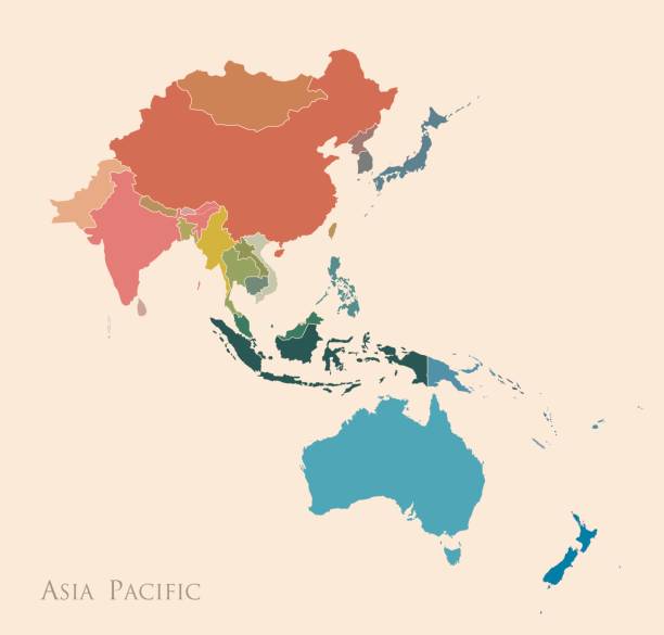
Map of Asia Pacific. Vintage color
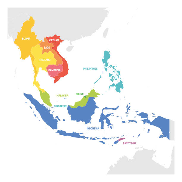
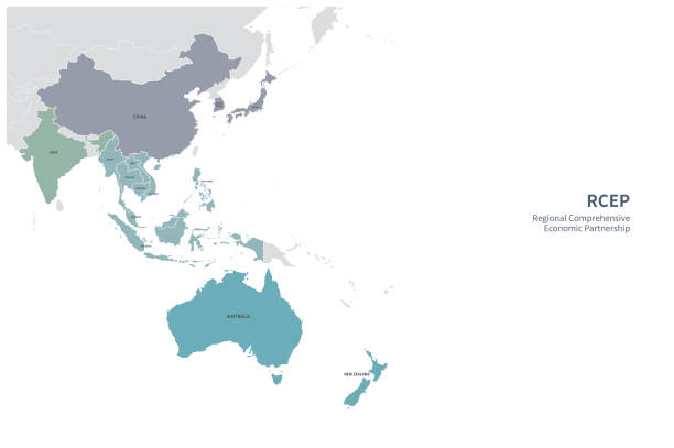
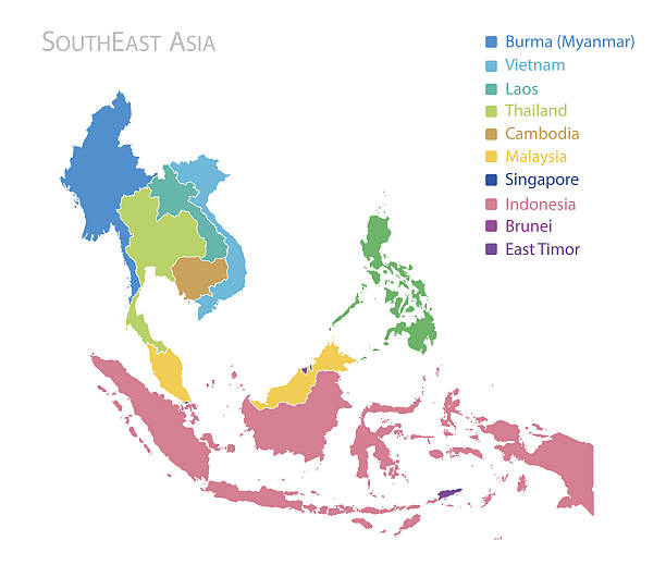
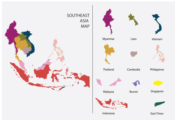
Southeast Asia Region. Colorful map of countries in southeastern Asia. Vector illustration.

vector map of the states of southeast asia.

Southeast Asia Region. Map of countries in southeastern Asia. Vector illustration.

Map of Southeast Asia made with round blue dots on a blank background. Original mosaic illustration. Vector Illustration (EPS10, well layered and grouped). Easy to edit, manipulate, resize or colorize. Please do not hesitate to contact me if you have any questions, or need to customise the illustration. http://www.istockphoto.com/portfolio/bgblue

Circle dot South east Asia and nearby countries map. Vector illustration

Map of Southeast Asia. Vector map in shades of turquoise blue.
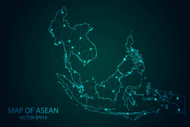
Map of Southeast Asia - With glowing point and lines scales on the dark gradient background, 3D mesh polygonal network connections. Vector illustration Eps 10.

Vector illustration of a map of Asia and all its countries

Cityscape, Travel and Tourist Attraction
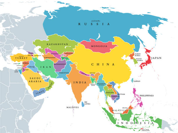
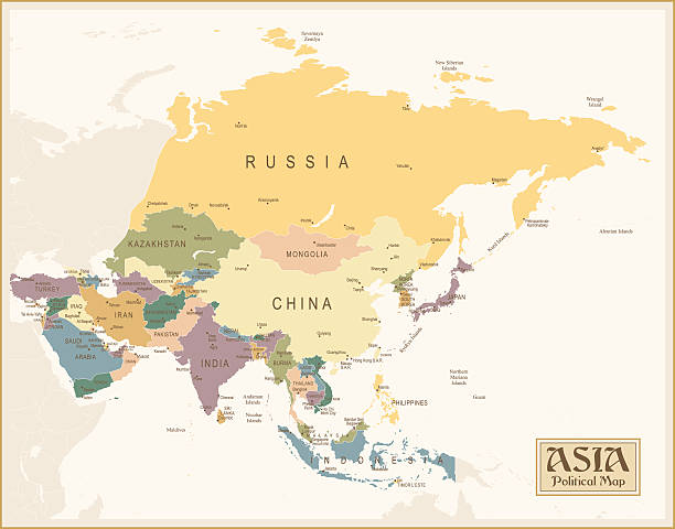
Main regions of Asia. Political map with single countries. Colored subregions of the Asian continent. Central, East, North, South, Southeast and Western Asia. English labeled. Illustration. Vector.

Southeast Asia. All buildings are complete and moveable.
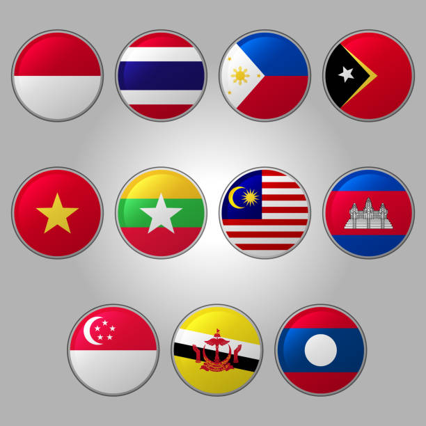
Set of southeast Asia Flags. With EPS 10 File Easy to edit and use
Vector illustration of the political map of South East Asia Reference map was created by the US Central Intelligence Agency and is available as a public domain map at the University of Texas Libraries website. https://www.cia.gov/library/publications/resources/the-world-factbook/graphics/ref_maps/political/pdf/southeast_asia.pdf

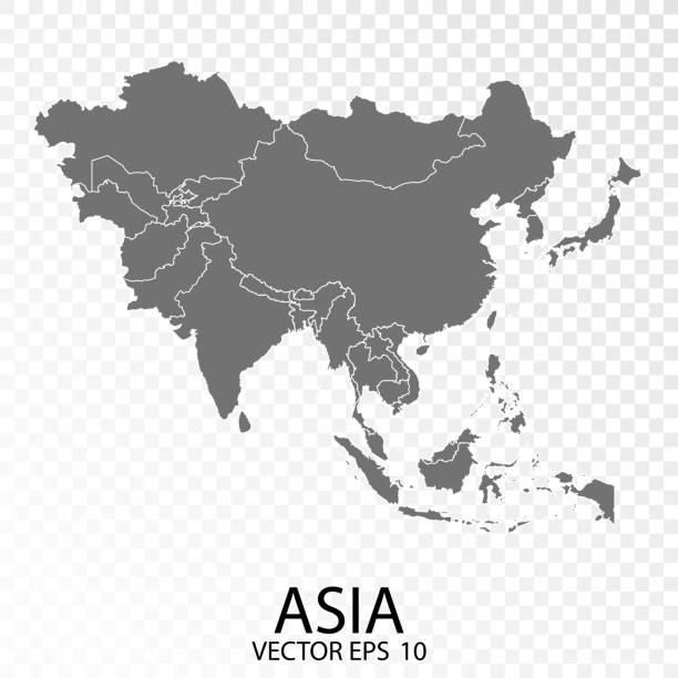
Transparent - High Detailed Grey Map of Southeast Asia. Vector Eps 10.

http://dikobraz.org/map_2.jpg

Cartoon map of asean, asia, AEC
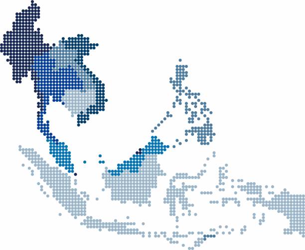
Circle shape South east Asia and nearby countries map. Vector illustration.

floating white abstract southeast asia map on blue-green background, vector illustration

Global Network System Concept Illustration. China, Eastern Asia, Australia Centered Map. Blue Planet Sphere Icon On A Dark Background. Vector Illustration.

all flags of Asia. Vector Illustration

Blue Portuguese tiles pattern - Azulejos vector, fashion interior design tiles art

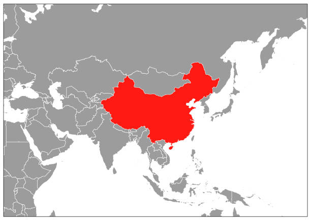
Blue Map of East Asia
Map of Southeast Asia. Vector map in shades of green.

globe set isolated white background, flat style design
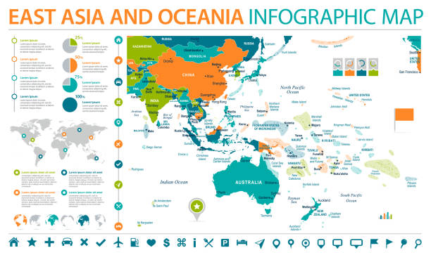
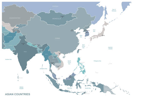
East Asia and Oceania Map - Detailed Info Graphic Vector Illustration
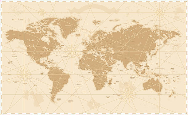
Old World Map - Vector Illustration Source map references: hhttp://www.lib.utexas.edu/maps/world_maps/time_zones_ref_2011.pdf http://www.lib.utexas.edu/maps/world_maps/txu-oclc-264266980-world_pol_2008-2.jpg (some cities) Creation date: March 10, 2016 Software: Adobe Illustrator CS5 Used layers: 1 (detailed outline of the map)
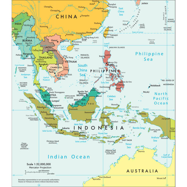
Highly detailed vector map of East Asia with countries, capitals and big cities.
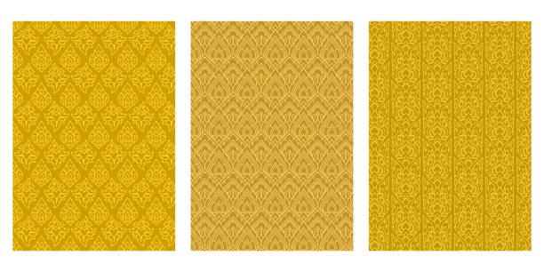
modern line Thai pattern traditional concept The Arts of Thailand.

Map of Southeast Asia sketched and isolated on a blank background. The map is gray with a black outline. Vector Illustration (EPS file, well layered and grouped). Easy to edit, manipulate, resize or colorize. Vector and Jpeg file of different sizes.
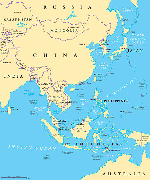
East Asia political map with capitals and national borders. Eastern subregion of Asian continent. China, Mongolia, Indonesia, Philippines, Malaysia, Japan. Illustration with English labeling. Vector.
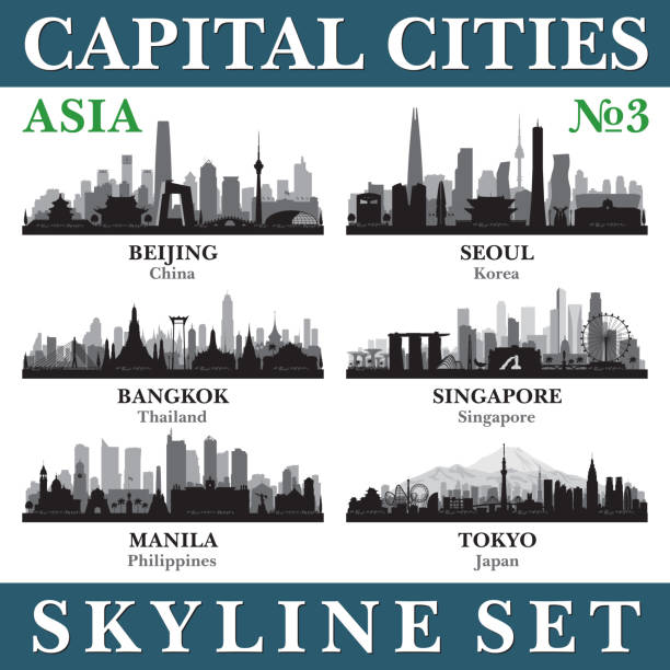
Capital cities skyline set. Asia. Vector silhouette background illustration.

colorful abstract Southeast Asia mab, vector illustration, EPS10

Map of Southeast Asia created with a mesh of thin bright blue lines and glowing dots, isolated on a dark blue background. Conceptual illustration of networks (communication, social, internet, ...). Vector Illustration (EPS10, well layered and grouped). Easy to edit, manipulate, resize or colorize.