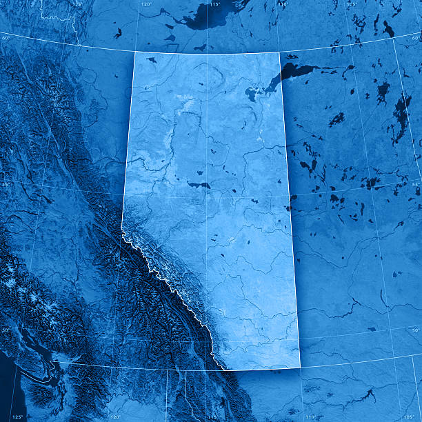
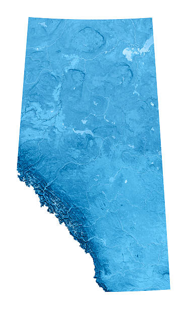
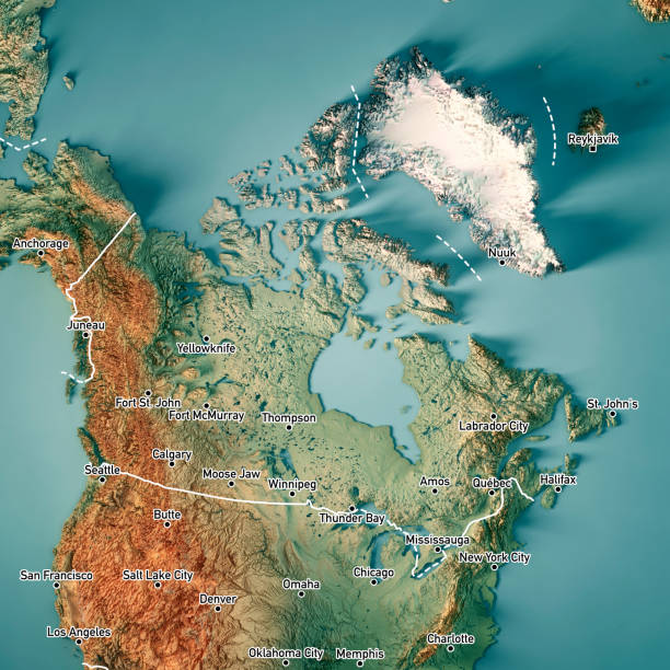
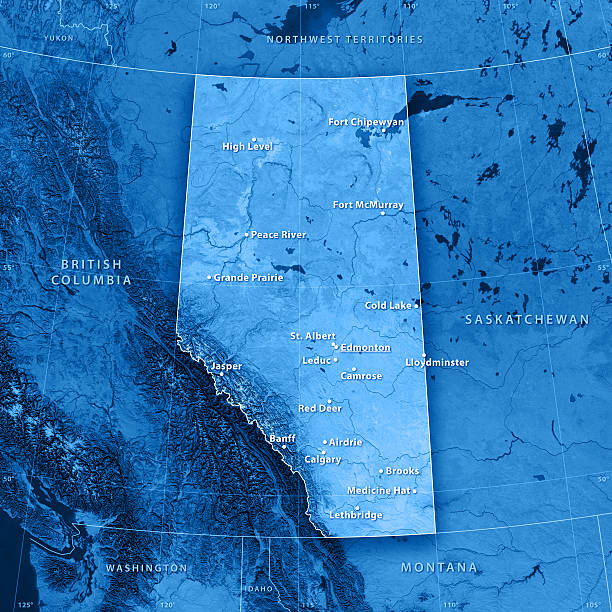
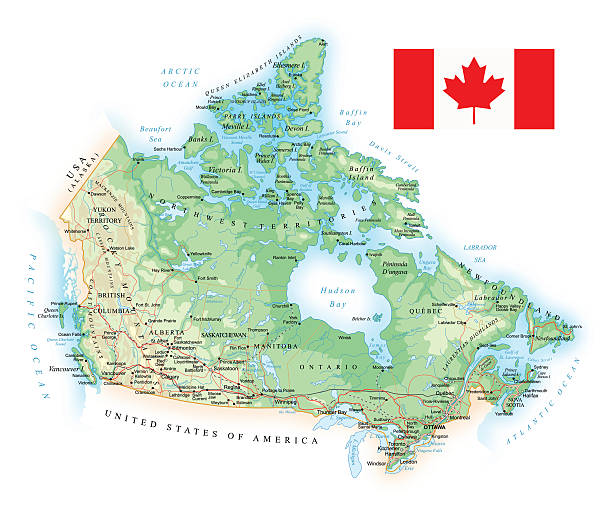
Beige Sea Blue Map of the Canada - illustration The urls of the reference files are (country, continent, world map and globe): http://www.lib.utexas.edu/maps/americas/canada_pol99.jpg http://www.lib.utexas.edu/maps/world_maps/time_zones_ref_2011.pdf http://www.lib.utexas.edu/maps/americas/north_america_ref_2010.pdf. In addition - some region boundaries and city locations were taken from: http://www.lib.utexas.edu/maps/united_states/usa_pol01.jpg http://www.lib.utexas.edu/maps/americas/mexico_pol97.jpg http://www.lib.utexas.edu/maps/americas/canada_pol_1986.gif - The illustration was completed January 08, 2016 and created in Corel Draw - 1 layer of data used for the detailed outline of the land