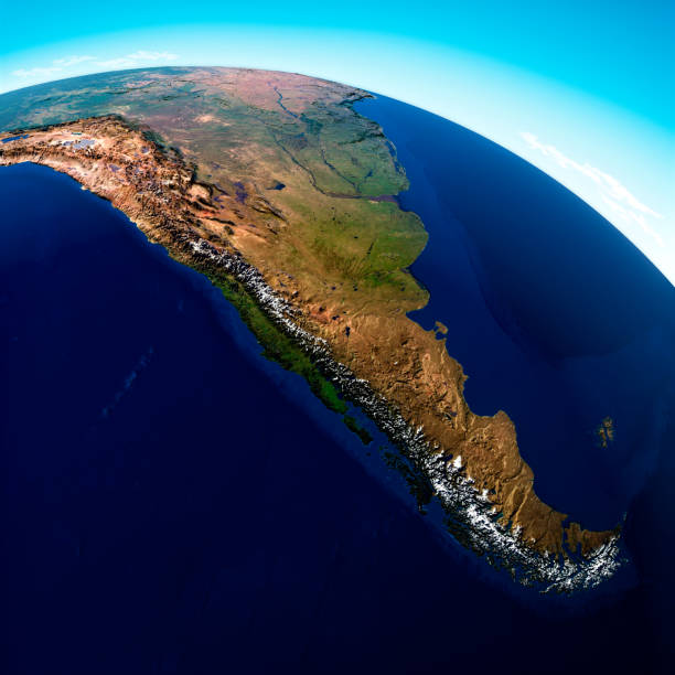
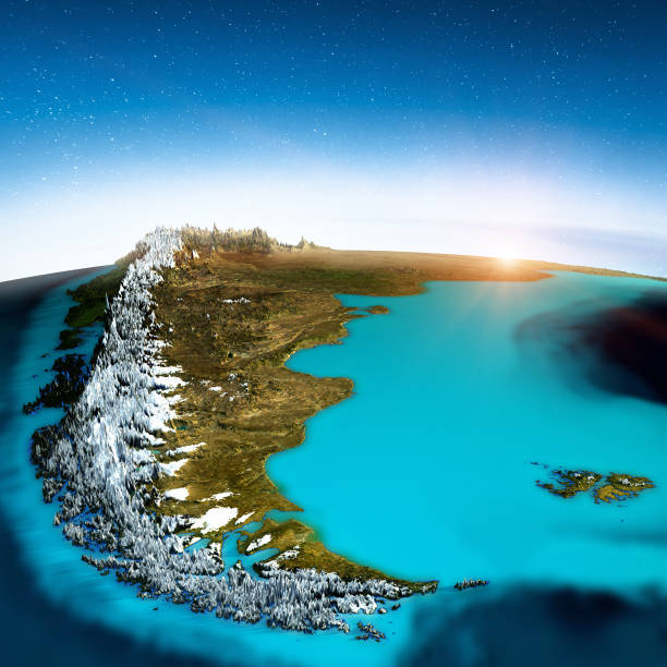
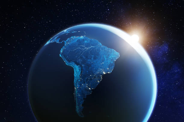
Argentina Map Chile Cartography Pictures, Images and Stock Photos

Browse 2,100+ argentina map chile cartography stock photos and images available, or start a new search to explore more stock photos and images.

Most popular
Our creative library is free of AI-generated contentChoose your visuals with confidence knowing our creative library is free from AI-generated content, so your searches only return safe, high-quality visuals you can trust.
Physical map of South America Vector illustration of the physical map of South America

Reference map was created by the US Central Intelligence Agency and is available as a public domain map at the University of Texas Libraries website.

https://www.cia.gov/library/publications/resources/the-world-factbook/graphics/ref_maps/physical/pdf/south_america.pdf argentina map chile cartography stock illustrations
Physical map of South America Vector illustration of the physical map of South America Reference map was created by the US Central Intelligence Agency and is available as a public domain map at the University of Texas Libraries website. https://www.cia.gov/library/publications/resources/the-world-factbook/graphics/ref_maps/physical/pdf/south_america.pdf argentina map chile cartography stock illustrations

Vector illustration of the physical map of South America Reference map was created by the US Central Intelligence Agency and is available as a public domain map at the University of Texas Libraries website. https://www.cia.gov/library/publications/resources/the-world-factbook/graphics/ref_maps/physical/pdf/south_america.pdf

Political map of South America Vector illustration of the political map of South America

Reference map was created by the US Central Intelligence Agency and is available as a public domain map at the University of Texas Libraries website.

https://www.cia.gov/library/publications/resources/the-world-factbook/graphics/ref_maps/political/pdf/south_america.pdf argentina map chile cartography stock illustrations
Political map of South America Vector illustration of the political map of South America Reference map was created by the US Central Intelligence Agency and is available as a public domain map at the University of Texas Libraries website. https://www.cia.gov/library/publications/resources/the-world-factbook/graphics/ref_maps/political/pdf/south_america.pdf argentina map chile cartography stock illustrations

Vector illustration of the political map of South America Reference map was created by the US Central Intelligence Agency and is available as a public domain map at the University of Texas Libraries website. https://www.cia.gov/library/publications/resources/the-world-factbook/graphics/ref_maps/political/pdf/south_america.pdf

america anitque spanish atlas, 18th century, hand coloured engraving. beautiful aged paper. during restoration of this classic masterpiece i had the unique chance to reproduce a good part of it under perfect conditions. there are complete maps as facsimile shots and delicate details. argentina map chile cartography stock illustrations

anitque spanish atlas, 18th century, hand coloured engraving. beautiful aged paper. during restoration of this classic masterpiece i had the unique chance to reproduce a good part of it under perfect conditions. there are complete maps as facsimile shots and delicate details.

of 36
Next
Take any image from "not quite" to "just right"See how you can modify existing images — or generate entirely new ones — to your exact needs.
Discover Unlimited AI