
Images
1,733 Images and Stock Photos
View berkeley-california videos
Browse 1,700+ berkeley-california stock photos and images available, or start a new search to explore more stock photos and images.
Most popular


Pushpin marking the city of Berkeley, California, USA on a map.

Berkeley California,USA. July 25 2021:Sather Tower on the upper right
Our creative library is free of AI-generated contentChoose your visuals with confidence knowing our creative library is free from AI-generated content, so your searches only return safe, high-quality visuals you can trust.

Berkeley, CA, USA February 21 A college student walks through the main campus of the University of California Berkeley amongst oddly shaped London Plame trees in Berkeley, California
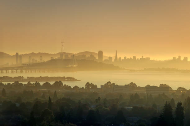
View of San Francisco and Financial District at sunset from Berkeley.

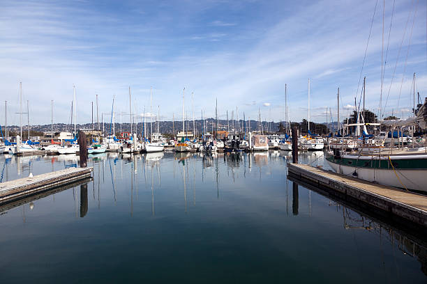
Empty marina slip. Berkeley, California. Horizontal.

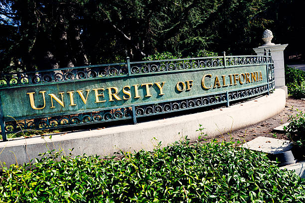
Berkeley, California, USA - October 15, 2016: University of California entrance sign on the corner of Oxford Street and Center Street at Berkeley, California. Over 150 years old, and with many Nobel Prizes winners (they even have reserved parking spots for them), the campus serves almost 40,000 students within an open green space.

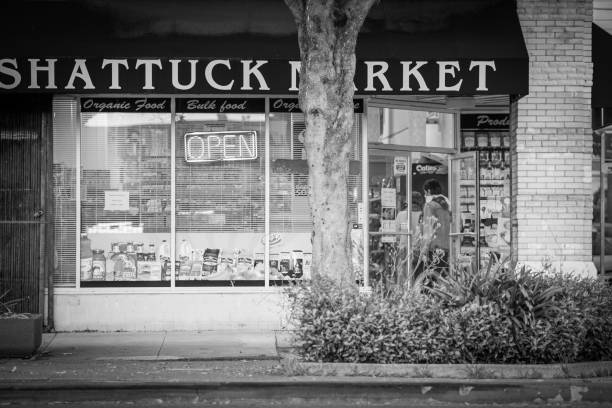
"Berkeley, CA, USA - October 14, 2012: A crowd estimated at 35,000 has shown up for the inaugural Sunday Streets festival on downtown Shattuck Avenue, where normally-auto-clogged streets are opened up for spontaneous pedestrian activity."
Berkeley, California - October 16, 2011: This view of Berkeley University shows the Sather Tower and one of the University Buildings in Fall on the Campus Grounds.
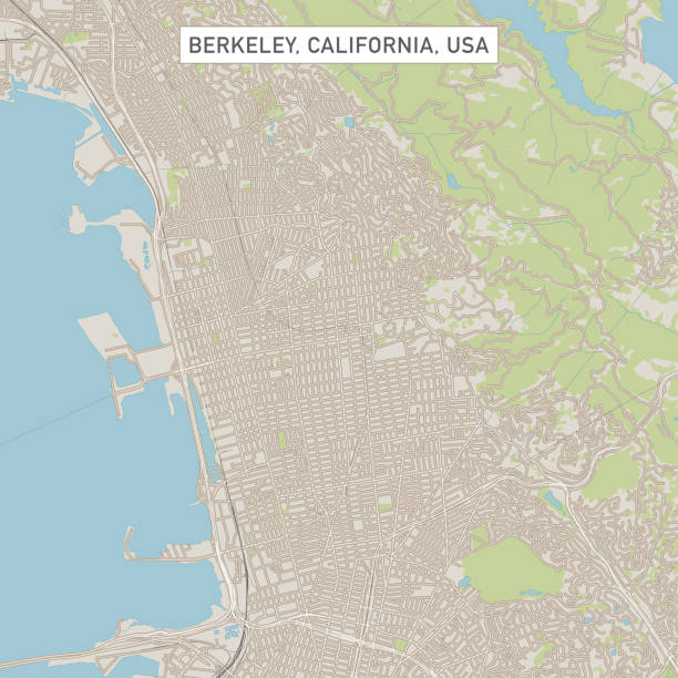
Vector Illustration of a City Street Map of Berkeley, California, USA. Scale 1:60,000. All source data is in the public domain. U.S. Geological Survey, US Topo Used Layers: USGS The National Map: National Hydrography Dataset (NHD) USGS The National Map: National Transportation Dataset (NTD)
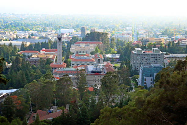
Berkeley, California, USA - July 2, 2016: The campus of the University of California, Berkeley in Berkeley, California which is the main and original college of the University of California college system on a hazy afternoon.

3D Render of a Satellite Landscape View of Alameda County, California, United States. All source data is in the public domain. Color and Water texture: Contains modified Copernicus Sentinel data (2021) courtesy of ESA. URL of source image: https://dataspace.copernicus.eu/explore-data/data-collections/sentinel-data/sentinel-2 Relief texture: 3DEP data courtesy of USGS. URL of source image: https://apps.nationalmap.gov/downloader/#/


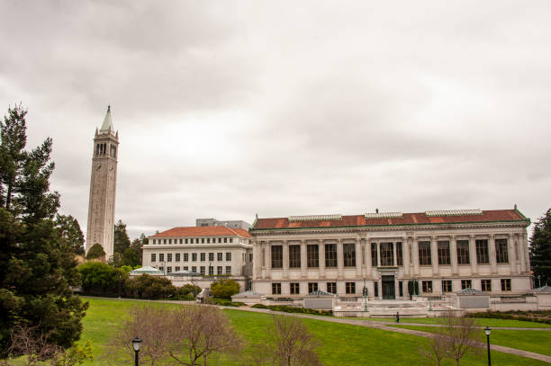
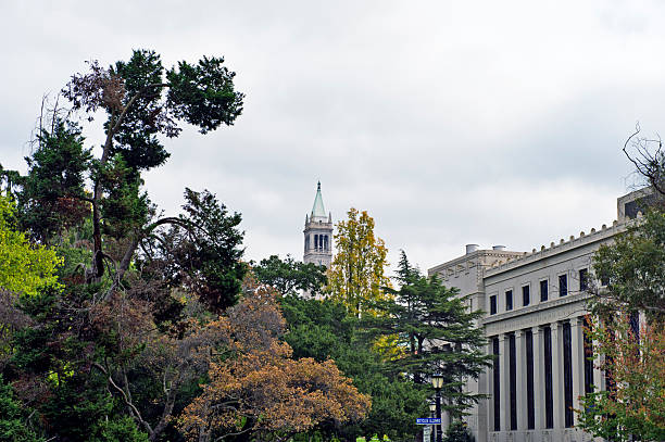
University of California in Berkeley Campus, the campanile and the library building
Beautiful sunset view of San Francisco from Berkeley California

Berkeley, CA - January 1, 2011. "The University of California, Berkeley is a public research university in Berkeley, California. Founded in 1868, Berkeley is the flagship institution of the ten research universities affiliated with the University of California system."


Campus, University, Education Building, Berkeley - California, California
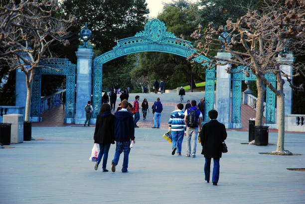
Berkeley, CA, USA February 21, 2011 Students walk towards Sather Gate, the entrance to the University of California at Berkeley

The sun sets over Oakland and San Francisco on a crisp autumn evening.

Oct 18, 2019 Berkeley / CA / USA - 'Black lives matter' slogan posted on the Freight & Salvage Coffeehouse billboard in downtown Berkeley

Berkeley CA City Vector Road Map Blue Horizontal. All source data is in the public domain. U.S. Census Bureau Census Tiger. Used Layers: areawater, linearwater, roads.

Views include San Francisco Waterfront, Berkeley, San Francisco Bay and the Bay Bridge.

The view of San Francisco and the Bay Area from the University of California at Berkeley


Berkeley, CA, U.S.A. - Oct. 26, 2024: Fans wearing blue and gold approach Memorial Stadium on the U.C. Berkeley campus to watch a Cal Bears Football game.

View of Golden Gate Bridget at sunset from Berkeley.

Berkeley,California,USA - October 26, 2016 : View of Berkeley and the Bay Area from the Sather Tower
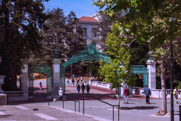
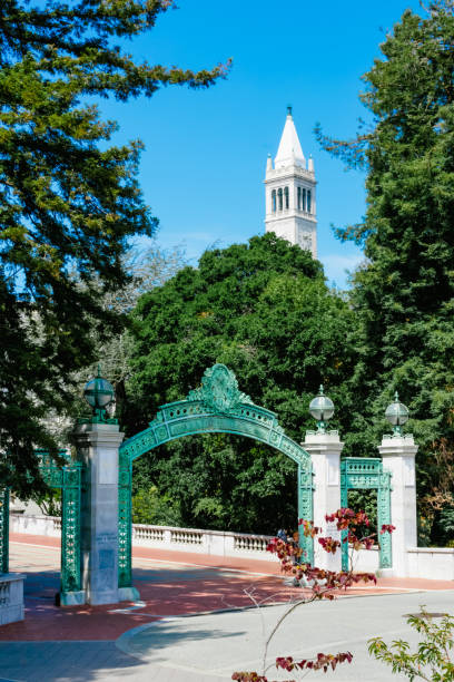
Berkeley California,USA. July 25 2021: Sather Gate is entrance to the UC Berkley campus.
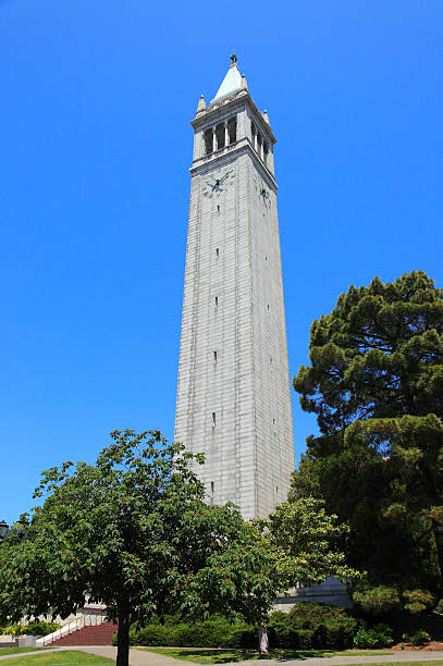
Campanile tower in Berkeley, california

Aerial view of a university campus in Northern California with students passing through the quad coming and going to class and instruction.


University of California in Berkeley Campus, the campanile and the library building

1-8-2023: Berkeley, California, USA: University of Califfornia at Berkeley Campus, Sather tower, Companile, Bell Tower

South Hall, the oldest building on the campus of University of California in Berkeley
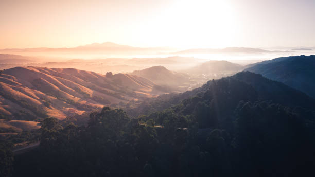
Sunrise over a mountain landscape. Berkeley hills glowing with sun rays with Mount Diablo in the distance.

View looking west across Berkeley and San Francisco Bay towards the Golden Gate Bridge on a clear blue sky day in Northern California.
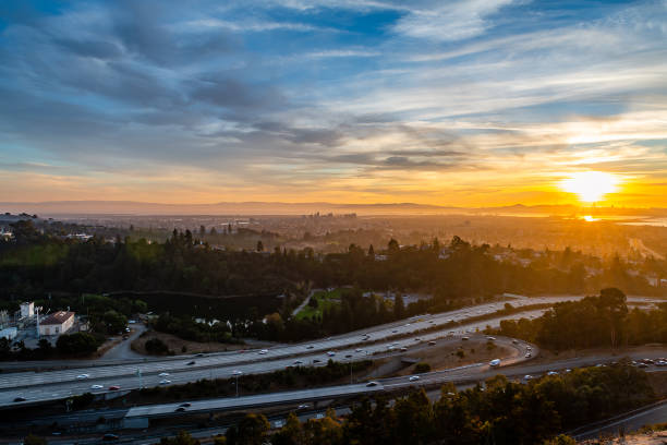
The sun sets over Oakland and San Francisco on a crisp autumn evening.

3D Render of a Satellite Landscape View of Contra Costa County, California, United States. All source data is in the public domain. Color and Water texture: Contains modified Copernicus Sentinel data (2021) courtesy of ESA. URL of source image: https://dataspace.copernicus.eu/explore-data/data-collections/sentinel-data/sentinel-2 Relief texture: 3DEP data courtesy of USGS. URL of source image: https://apps.nationalmap.gov/downloader/#/

Berkeley,California,USA - October 26, 2016 : View of South Hall in the Campus of UC Berkeley


Richmond-San Rafael Bridge in the state of California

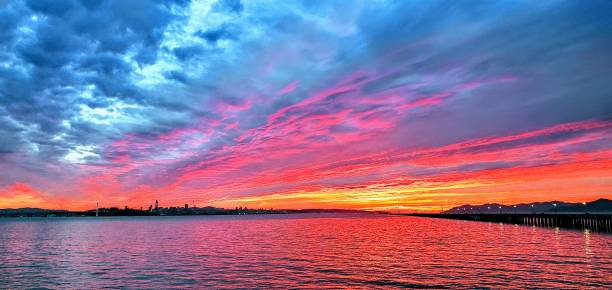
The sun rises over San Francisco, Oakland, and the rest of the bay, while filling the cloudy sky with vibrant color.
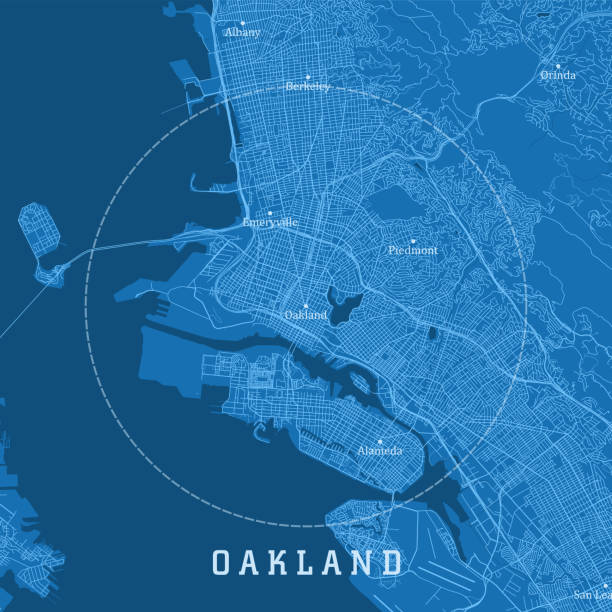
Oakland CA City Vector Road Map Blue Text. All source data is in the public domain. U.S. Census Bureau Census Tiger. Used Layers: areawater, linearwater, roads.

Berkeley California,USA. July 25 2021: Sather Gate is entrance to the UC Berkley campus.

Green, lush meadow in the campus of UC Berkeley, San Francisco bay area, California

Berkeley, CA, U.S.A. - Oct. 26, 2024: Photo of the exterior of the Berkeley Art Museum and Pacific Film Institute

Berkeley,California,USA - October 26, 2016 : The shadow of the Campanile in the Campus of UC Berkeley

Skyline of SF from Bay Bridge to Golden Gate

Berkeley, CA, USA - August, 14 2014: Sather Gate at UC Berkeley. Students of UC Berkeley were observed.