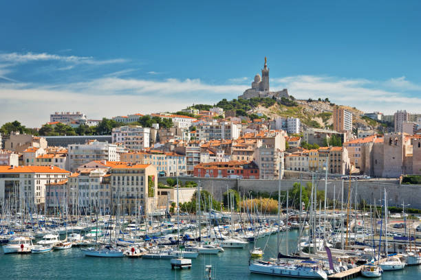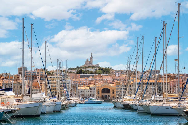
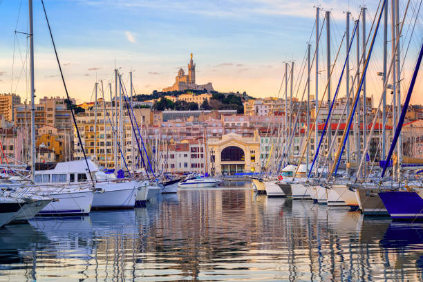
Marseille embankment with yachts and boats in the Old Port and Notre Dame de la Garde., Vieux-Port de Marseille.
Browse 51,800+ bouches du rhone stock photos and images available, or start a new search to explore more stock photos and images.
Marseille embankment with yachts and boats in the Old Port and Notre Dame de la Garde., Vieux-Port de Marseille.
High angle view of cityscape by sea. Notre Dame de la Garde in Marseille against clear sky. Buildings by seascape on sunny day.

Aerial view of the village near the creeks on the Mediterranean Sea.
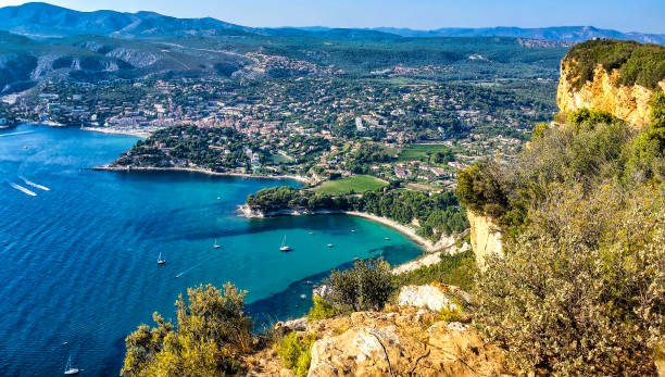
The Route des Crêtes is located on the cliff of Cap Canaille and goes from the Gulf of Cassis to the Gulf of La Ciotat. Along the Route des Crêtes, equipped parking lots allow easy parking and walking above the cliffs overlooking the sea. Total change of scenery, magnificent view, magical place! The Route des Crêtes is closed as soon as there is a strong wind.

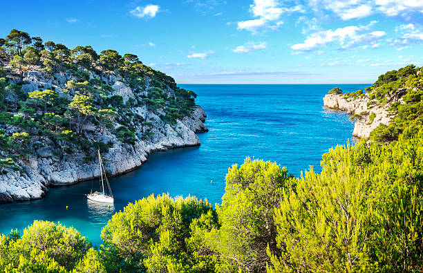
Calanques, the famous geological formation between Cassis and Marseille mediterranean coast of France
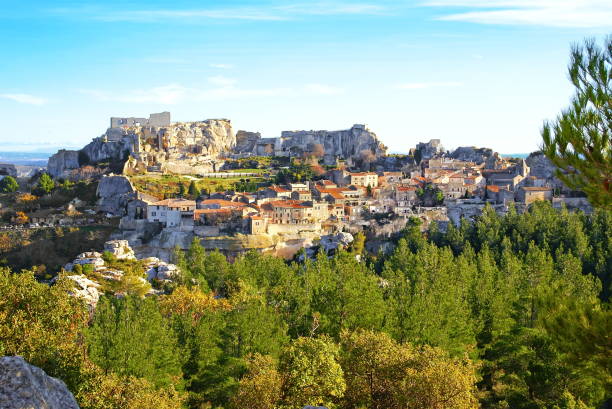
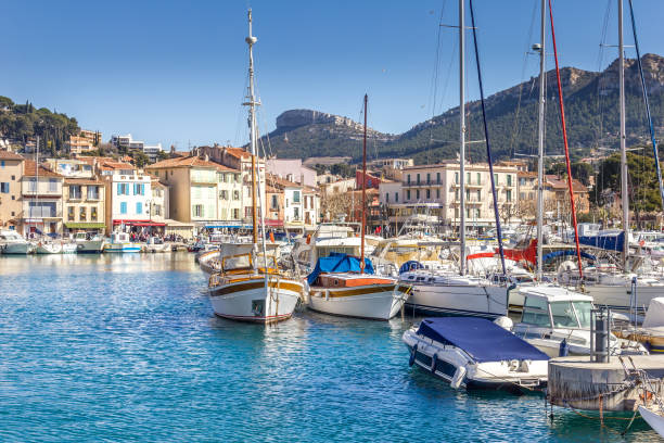
The very tourist village of the Middle Ages is under the rock, on which was built the castle today in ruins.

Vineyard in Provence near Cassis France.

Marseille, sea and mountains panorame

Marseille, France. Elevated View Of Cityscape. Residential Districts And Streets Under Sunny Summer Sky.
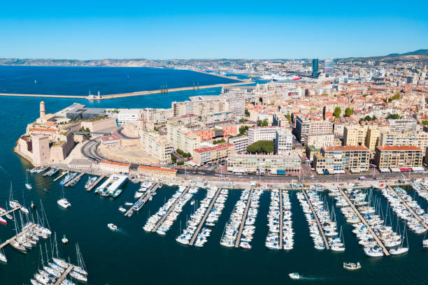
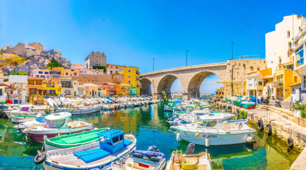
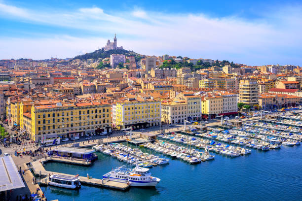
Old Port in Marseille. Marseille is the second largest city of France.

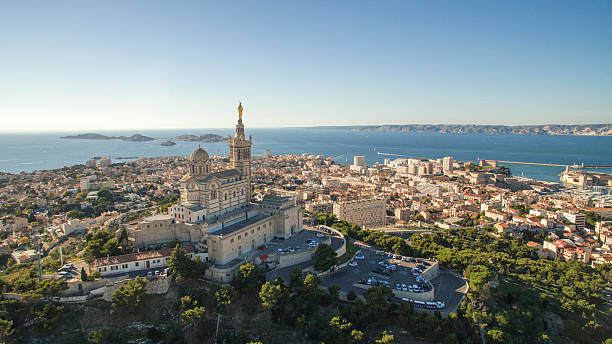
Notre Dame de la Garde or Our Lady of the Guard aerial view, it is a catholic church in Marseille city in France

the french riviera with its turquoise water, an ideal place to spend a holiday

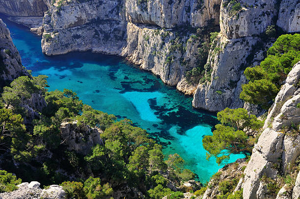
The cliffs of the Calanques are a natural wonder nestled near Marseille, France

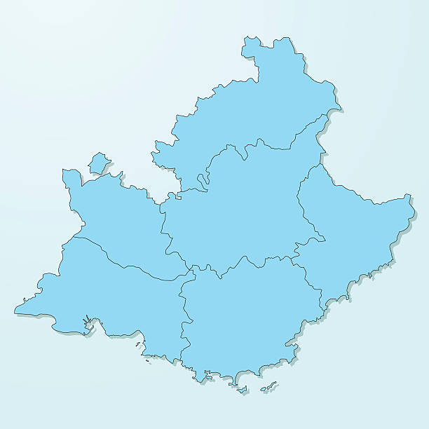
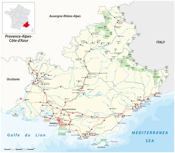
Bouches-du-Rhone Department (France, French Republic, Provence-Alpes-Cote dAzur region) map vector illustration, scribble sketch Bouches-du-Rhone map

The cliffs of the Calanques are a natural wonder nestled near Marseille, France
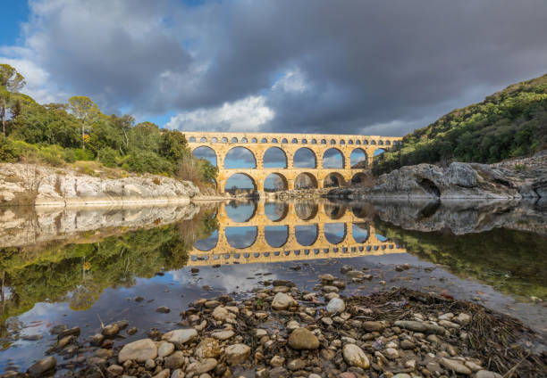
Pont du Gard - the highest of all preserved ancient roman aqueducts. It crosses the Gardon River near the town of Vers-Pont-du-Gard in southern France

Marseille Cityscape Overview Islands Harbors Port Boats Apartment Buildings Marseille Cote d'Azur France View from Notre Dame de La Garde

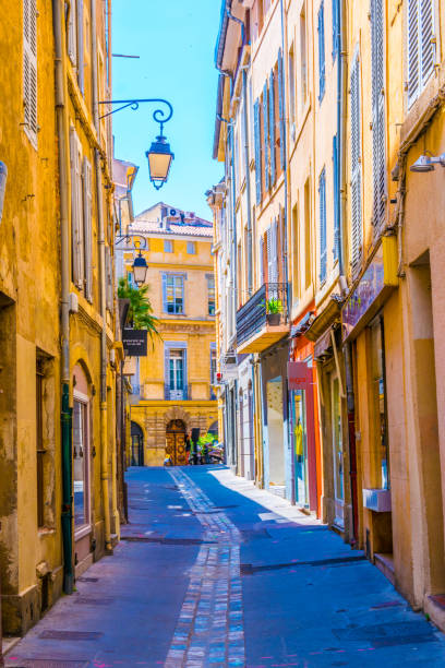
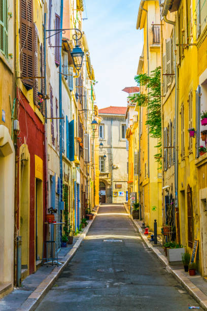
Provencal street with typical houses in southern France, Provence. Aix-en-Provence city on sunny summer day
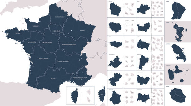
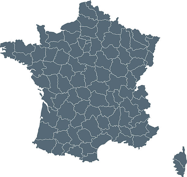
Vector maps of France with variable specification and icons
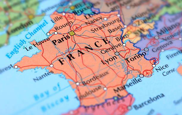
Map of France. Selective Focus.

France, Marseilles, 16th February - 2014. Photo of Marseille at the evening. You can see old port, historical part of the city and the Notre Dame de la Garde basilica.

view of the city of aubagne with the garlaban, photo taken by a drone.
Empty Dark Gray Map of the France - illustration The urls of the reference files are (country, continent, world map and globe): http://www.lib.utexas.edu/maps/europe/france_admin91.jpg http://www.lib.utexas.edu/maps/world_maps/time_zones_ref_2011.pdf - The illustration was completed April 11, 2016 and created in Corel Draw - 1 layer of data used for the detailed outline of the land
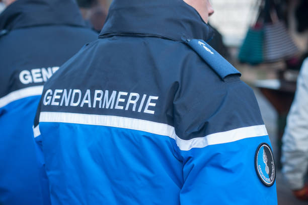
Riquewhir - France - 16 December 2017 - french gendarmes patrolling at the christmas market
France flag - flat collection. Flags of different shaped twelve flat icons. Vector illustration set
Yachts reflecting in the still water of the old Vieux Port of Marseilles beneath Cathedral of Notre Dame, France, on sunrise
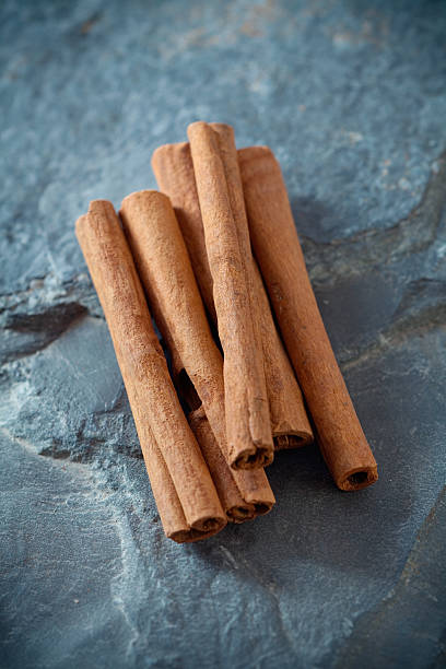
"Flavorful Cinnamon sticks on stone, shallow dof"
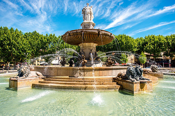
The Fontain de la Rotonde with three sculptures of female figures presenting Justice in Aix-en-Provence in France
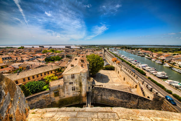
View from the Tower of Constance on the city wall of Aigues-Mortes, Occitanie, France
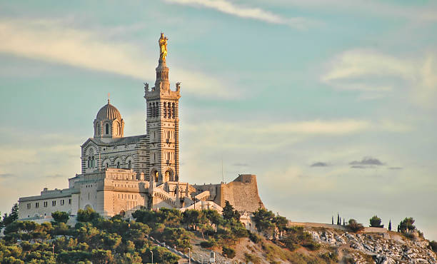
Marseille, France, 21 September 2014. Notre Dame de la Garde is Byzantine architecture basilica in Marseille.
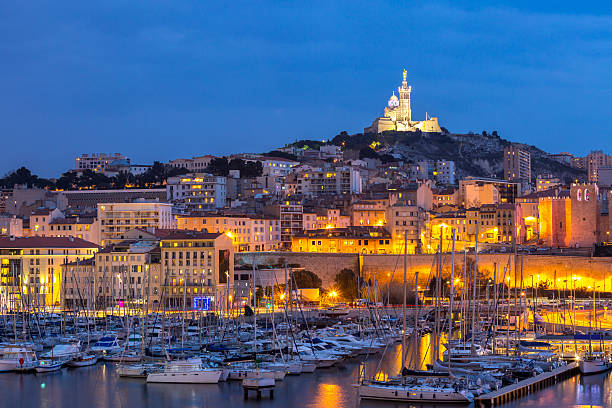
Marseille, France at night. The famous european harbour view on the Notre Dame de la Garde
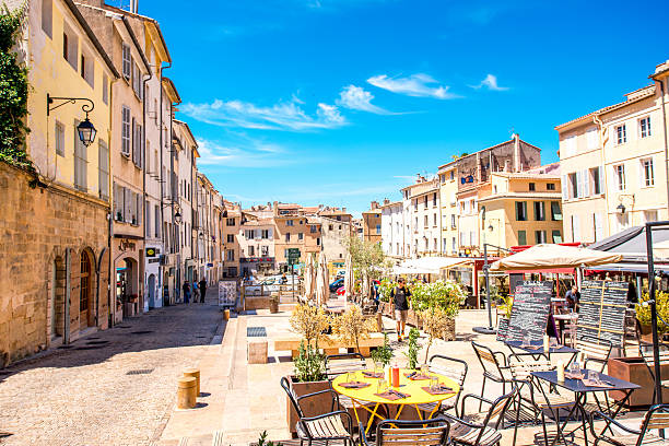
Aix-en-Provence, France - June 20, 2016: Cardeurs square with cafes and restaurants in the old town of Aix-en-Provence city on the south of France.
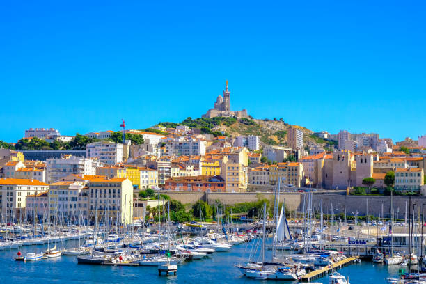
The old Vieux Port and Basilica Notre Dame de la Garde in the historical city center of Marseilles, France
Dive view of the calanque d'En-Vau, one of the most spectacular creeks in the National Park. Photo taken in April 2015.
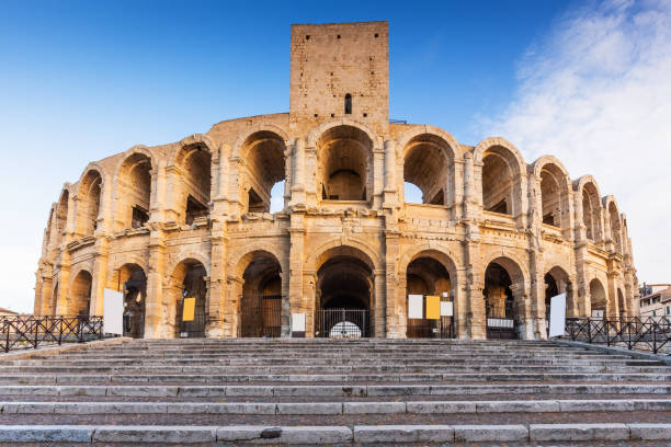
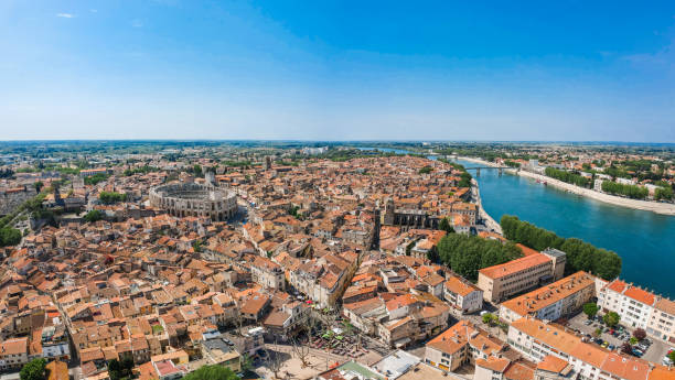
Provence, France. Roman amphitheatre in the Old Town of Arles.
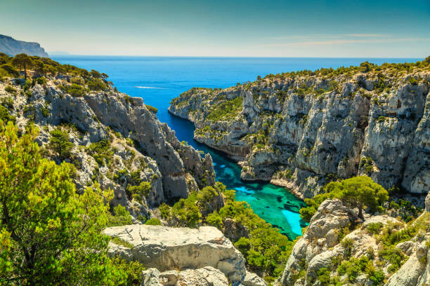
Breathtaking viewpoint on the cliffs, Calanques D'En Vau bay, Calanques National Park near Cassis fishing village, Provence, South France, Europe
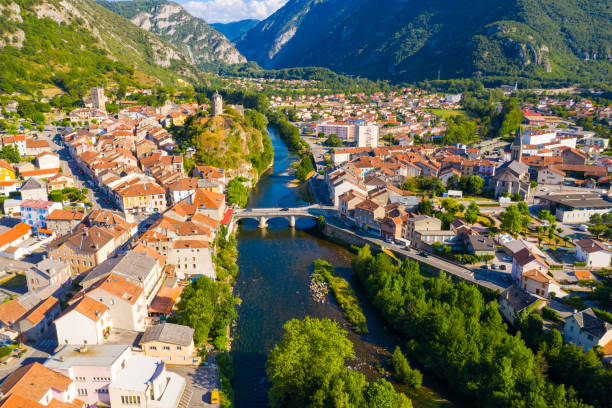
Aerial view of historical center of French town Tarascon-sur-Ariege

Calanque d'En Vau; Marseille, Cassis, south of France in Calanques National Park. One of the most remarkable natural sites in France, popular summer destination.

Saint Sauveur gothic cathedral in Aix-en-Provence in France
Calanques of Port Pin in Cassis in France near Marseille

Beautiful white horses running on the water against the background of flying flamingos at soft sunset light, Parc Regional de Camargue, Bouches-du-rhone, Provence - Alpes - Cote d'Azur, south France
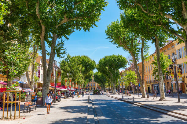
Aix-en-Provence, France - July 27, 2016: street Cours Mirabeau with unidentified people. 440 meters long and 42 meters wide, the Cours Mirabeau is one of the most popular and lively places in the town
© 2024 iStockphoto LP. The iStock design is a trademark of iStockphoto LP. Browse millions of high-quality stock photos, illustrations, and videos.
Do Not Sell or Share