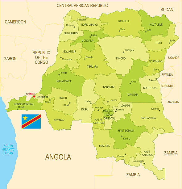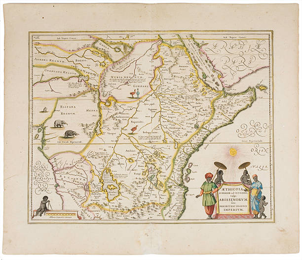
anitque spanish atlas, 18th century, hand coloured engraving. beautiful aged paper. during restoration of this classic masterpiece i had the unique chance to reproduce a good part of it under perfect conditions. there are complete maps as facsimile shots and delicate details.