
Images
Browse 79,600+ city view from above stock photos and images available, or search for building or city skyline to find more great stock photos and pictures.

View of Sydney skyscrapers from the air

illustration of urban cross road scene with some car traffic view from above in cartoon style

Modular isometric city tiles. A multi-level hospital for isometric designs.
Our creative library is free of AI-generated contentChoose your visuals with confidence knowing our creative library is free from AI-generated content, so your searches only return safe, high-quality visuals you can trust.


Directly above of city street and cityscape / Jinan, Shandong, China

Aerial view of the suburbs south of downtown Houston, Texas with the city's skyline visible in the distance.


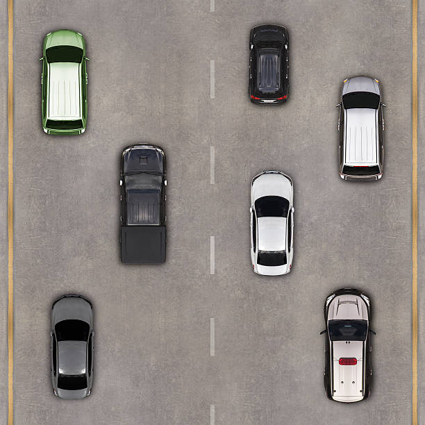
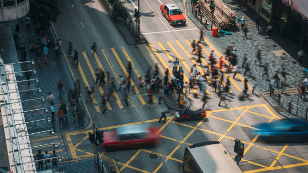
Top view from above on a city street with cars and people

The view from above of Los Angeles Downtown and its skyscrapers during twilight captured from a helicopter.
Aerial view over the road and highway with cars

Drone point of view of traffic on the interstate, intertwining on ramps and off ramps.
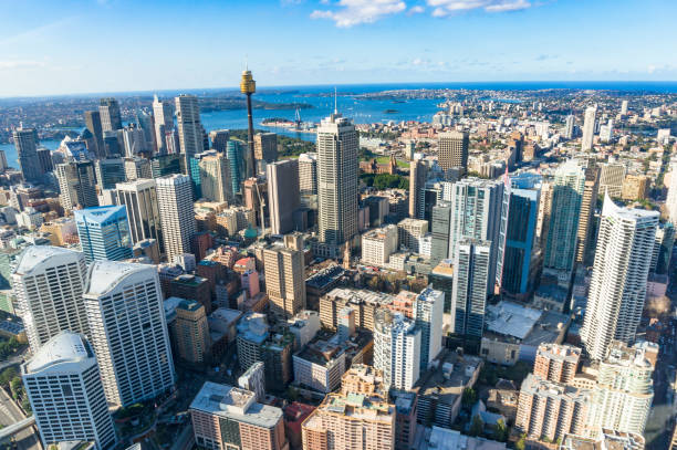
Aerial view of Sydney Central Business District with skyscrapers on sunny day. Urban background


Close up healthy sandwiches with arugula, carrot, cheese, red cabbage, wrapped in craft organic paper on a marbre plate and marbre white background. Top view. Big Club sandwich concept. Still Life.


Munich is the capital and most populous city of the Free State of Bavaria.

This motorway juntion is probably one of the most famous in Birmingham and the whole Midlands county. This aerial picture shows the junction with Birmingham city in the background

Skyline of Miami, Florida shot via helicopter from an altitude of about 800 feet.

3D rendering, aerial view of a moving crowd

Realistic wax, flamed round candle in a metal case isolated on white backdrop. Top view on yellow burning candle. Template for invitation or greeting cards. Vector illustration.

Aerial view of tract housing in the Angel Park neighborhood in Summerlin South, Clark County, Nevada, on a clear, sunny day in Fall.


Overhead shot of buildings and streets around Times Square. Advertisements and displays glowing colourful light. Manhattan, New York City, USA.

Highways overpass transportation aerial drone view above interchange cross overs in Austin Texas


Directly over downtown Seattle at about 1000 feet in altitude highlighting the buildings along the waterfront.
Aerial View of Single-family homes in Pikesville, suburbs of Baltimore, Maryland.
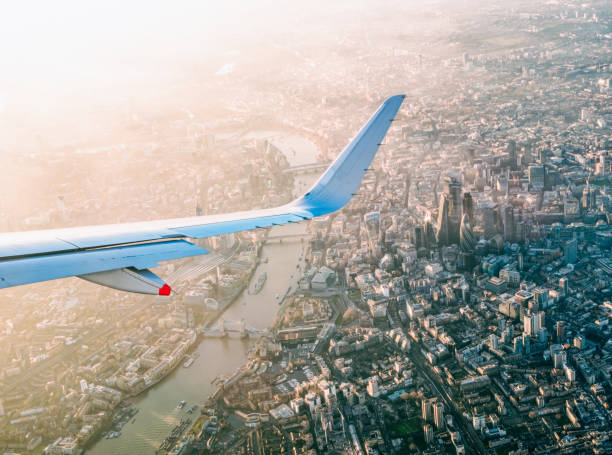
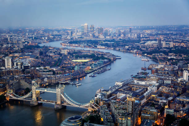
A view of central London from a commercial airliner, with the Thames, Tower Bridge and the towers of the City of London in view.
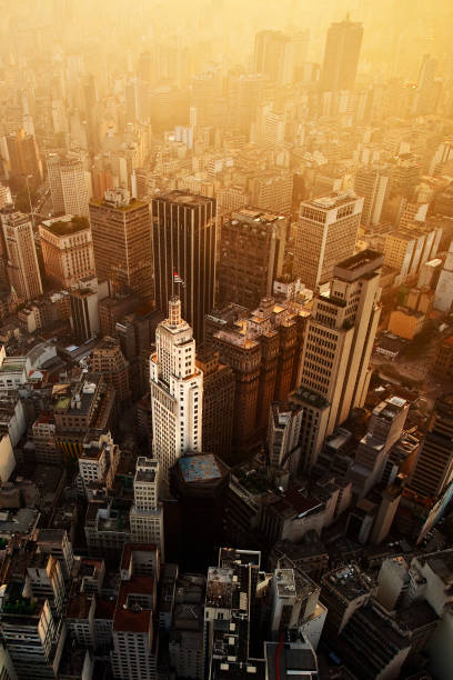
Aerial View of banespa building, Altino Arantes, Sao Paulo, Brazil


A view from directly above the skyscrapers located in downtown Seattle, Washington shot during a helicopter photo flight from an altitude of about 700 feet.

Straight overhead aerial view of abstract modern city district residential area with high rise buildings and green park zone. 3D illustration from my own 3D rendering file.

Overhead view of pedestrian area in a modern green city


Tegallalang Rice Terrace seen from directly above after rainfall a cloudy day in Bali, Indonesia. The rice terrace is surrounded by tropical green rainforest.
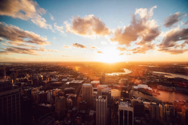
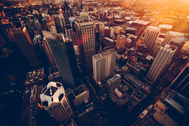
View of sunset in Sydney from skyscraper


Beautiful Sunrise over Victoria Harbor , view from Victoria Peak.

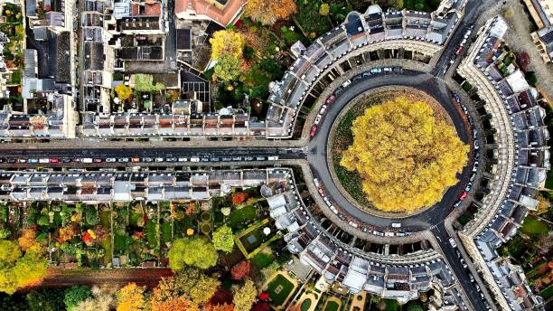
Aerial top down view of residential neighbourhood showing trees changing color during fall season in Montreal, Quebec, Canada.

A blue tinted nighttime skyline photo of mid-town Manhattan in New York City. Taken from the 43rd floor of a building, Aerial view. Dusk is visible on the horizon.

Aerial view of Hudson Yards from across Midtown Manhattan with the Hudson River and New Jersey in the background and the Empire State Building in the foreground shot via helicopter from an altitude of about 2000 feet at sunset.

Aerial shot of residential streets of single family homes in St. George, a city in Washington County in southwestern Utah.
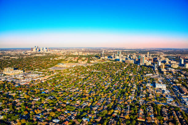
Wide angle view of the metropolitan area of Houston, Texas including the downtown skyline, the Houston Medical Center and the surrounding suburban neighborhoods shot from an altitude of about 1500 feet.

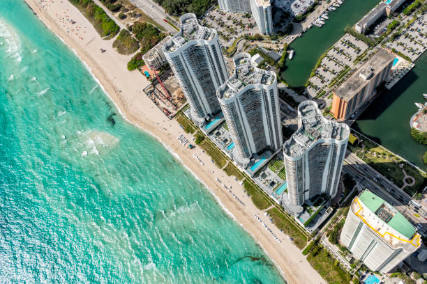
Aerial view of a South Florida beach resort shot from directly overhead at about 1000 feet in altitude.

The grid pattern of the city streets in downtown Houston, Texas from an altitude of about 1500 feet over the center of the city.