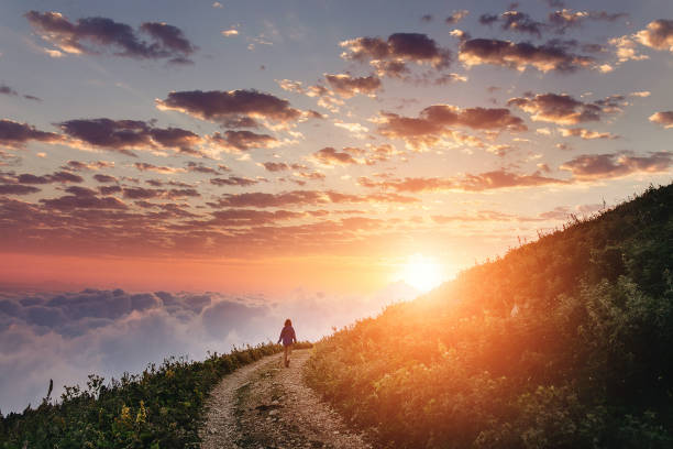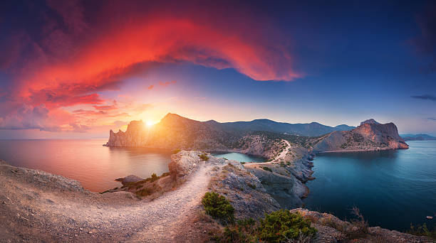
Amazing summer landscape with mountains, sea, blue sky, sun and beautiful colorful red clouds at sunset in Crimea. Sunset in mountains. Panoramic. Nature background. Vibrant landscape in twilight.
Browse 34,200+ crimean mountains stock photos and images available, or start a new search to explore more stock photos and images.
Amazing summer landscape with mountains, sea, blue sky, sun and beautiful colorful red clouds at sunset in Crimea. Sunset in mountains. Panoramic. Nature background. Vibrant landscape in twilight.

A red-haired man in a brown and blue windbreaker with a backpack stands on the edge of a cliff on Mangup plateau. Crimean mountains are visible in the background.

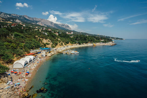
Summer view of the Yalta embankment with a church shop, palm trees, the sea and mountains, Crimea, Black Sea, August 2021.
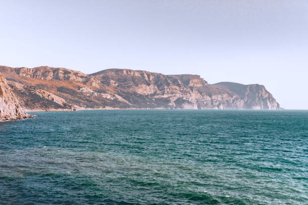
Mountain landscape with rocks and clouds, Crimea, Ukraine.
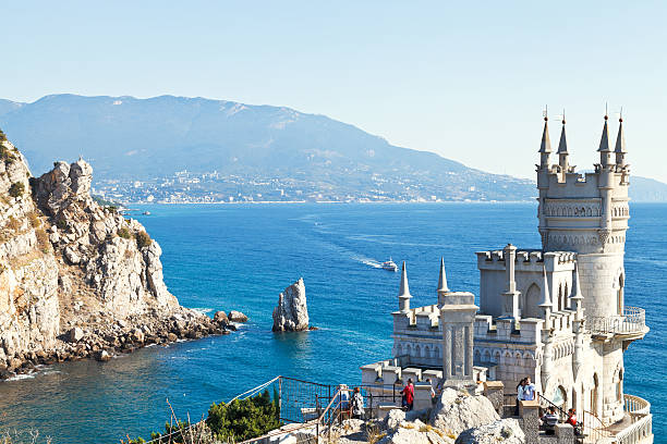
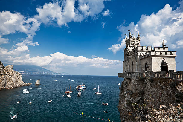
Gaspra, Russia - September 29, 2014: view of Black Sea coast with Swallow's Nest castle in Crimea. The castle was built in 1911-1912, on top of the 40-metre high Aurora Cliff

Young active woman stand on mount top. Look at amazing sea landscape above. Family travel adventure, hiking activity, healthy lifestyle, exploring nature on summer vacation. Weekend day walking tour.

Panoramic view on city Gurzuf and Bear Mountain, Au-Dag, Crimea. Sunny day. The concept of active city in unity with nature.
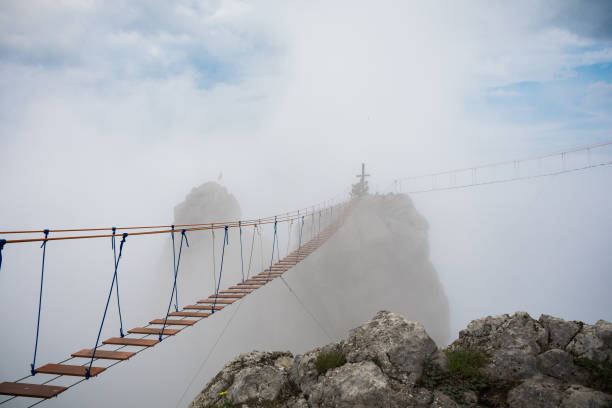
Tourist route to the top of the mountain. Rope bridge in the clouds. Crimea. Ai-Petri

Rocky mountain coast, volcano Karadag, Crimea, cloudy gray gloomy sky, fog.

background landscape view on the rock sail near the Swallow's Nest, Gaspra, Yalta

Summer view of mountain Sokol in the clouds. This peak also known as Falcon, one of the beautiful mountains in Crimea.

Feet from a tent overlooking the seashore at sunriseFeet out of a tent overlooking the seashore

Cross on top of Mount Stavri-Kaya. Crimea. Botkin trail, view from the mountain to the sea.

Landscape white rock Ak-Kaya in the setting sun on a summer day, Crimea, copy space

Couple sleeping in the hammock on the beach
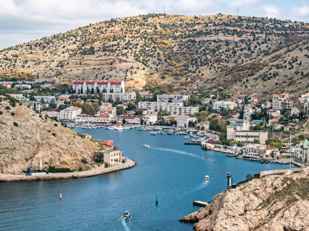
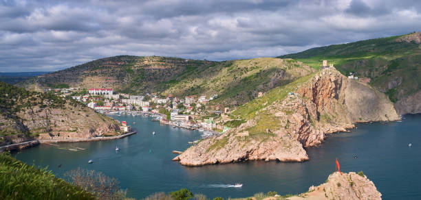
Balaklava bay travel destination in Crimea. Sea port with ships and houses
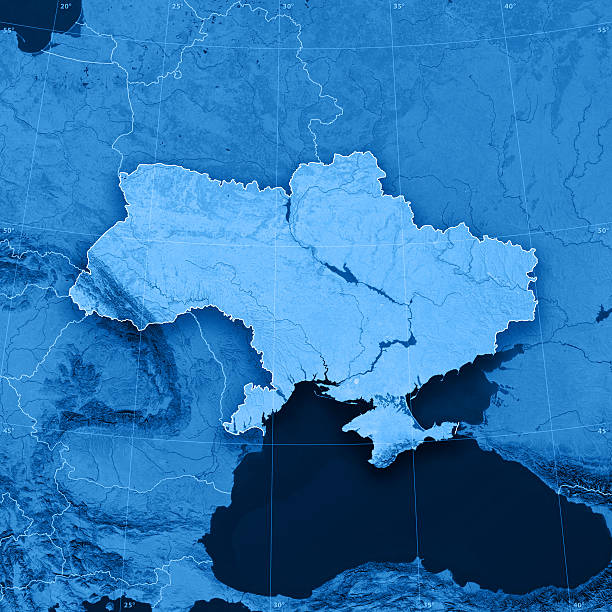
"3D render and image composing: Topographic Map of Ukraine. Including country borders, rivers and accurate longitude/latitude lines. High resolution available! High quality relief structure!Relief texture and satellite images courtesy of NASA. Further data source courtesy of CIA World Data Bank II database.Note: This image is perfectly congruent to the image"

Crimea - May 18, 2016: Swallow's Nest castle on the rock over the Black Sea in Crimea, Russia. This castle is a symbol of Crimea.

view of Parus (Sail) rock, Ayu-dag coastline on Southern Coast of Crimea

A frosty and sunny day is in mountains. Snow winter mountain lake bright and early
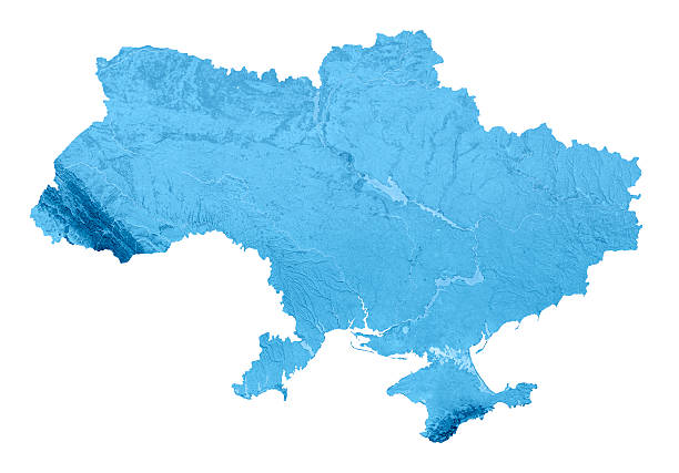
3D render and image composing: Topographic Map of Ukraine. Isolated on White. High quality relief structure!

A young girl in a straw hat sits on the edge of a cliff and looks at the beautiful seascape with yachts and a transparent sea. Travel across the Crimea.

Young woman crossing the chasm on the rope bridge

Hands of a girl in the shape of a heart against the background of mountains and the sea. Selective focus on hands. Travel lovers concept
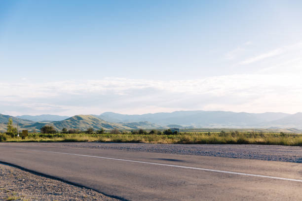
View on a typical highway on hills background. Summer time.

Privetnoye, Russia - September 22, 2016: group of riders cyclists riding uphill one behind other during Crimean race mountainbike

Novy Svet, Crimea - September 2, 2017: Beach in the bay of the village of Novy Svet. Sunny summer day, Crimea.

Family trip to the mountains by car. Mom is having fun with her teenage son, sitting in the trunk of a car and enjoying the view together.

3D Render of a Topographic Map of Ukraine and the Black Sea. Version with Country Boundaries. All source data is in the public domain. Color texture: Made with Natural Earth. http://www.naturalearthdata.com/downloads/10m-raster-data/10m-cross-blend-hypso/ Relief texture: SRTM data courtesy of NASA JPL (2020). URL of source image: https://e4ftl01.cr.usgs.gov//DP133/SRTM/SRTMGL3.003/2000.02.11 Water texture: SRTM Water Body SWDB: https://dds.cr.usgs.gov/srtm/version2_1/SWBD/ Boundaries Level 0: Humanitarian Information Unit HIU, U.S. Department of State (database: LSIB) http://geonode.state.gov/layers/geonode%3ALSIB7a_Gen
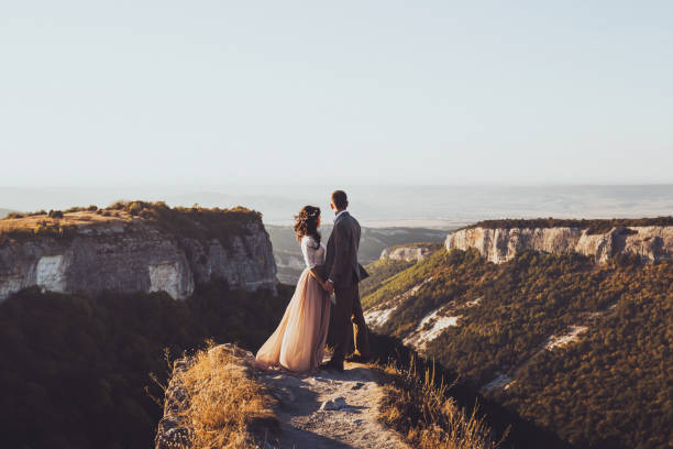
Bride and groom walking in mountains at sunset. Around the stunning scenery with views of the mountains and canyon Mangup
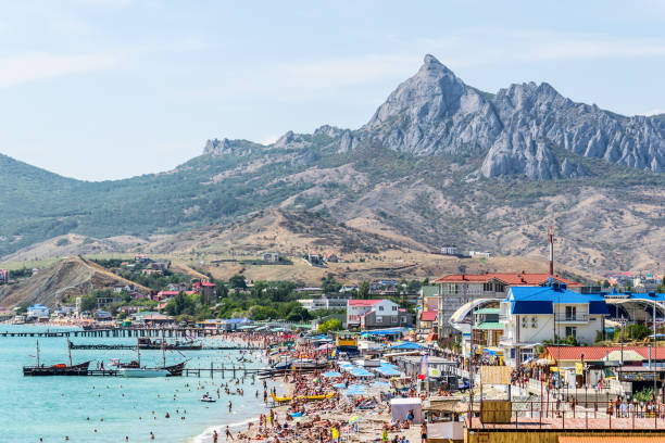
Koktebel, Crimea - September 9, 2018: General view of the town, beach and mountains of the extinct volcano Kara-Dag. Black sea
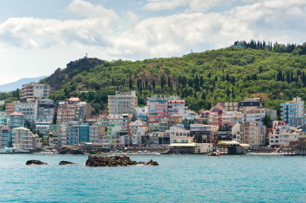
Modern resort place with many mini hotels, village Santa-Barbara in Utes, Crimea.
A distant steep rocky mountain on the Black sea shore near the time of sunset
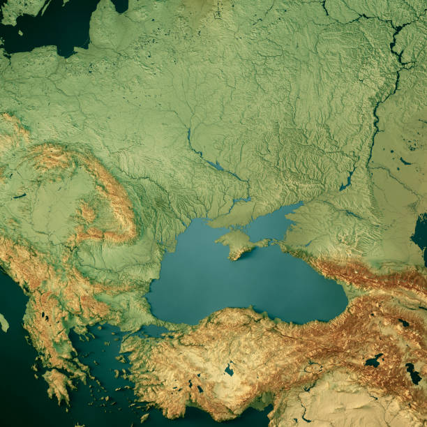
3D Render of a Topographic Map of Ukraine and the Black Sea. All source data is in the public domain. Color texture: Made with Natural Earth. http://www.naturalearthdata.com/downloads/10m-raster-data/10m-cross-blend-hypso/ Relief texture: SRTM data courtesy of NASA JPL (2020). URL of source image: https://e4ftl01.cr.usgs.gov//DP133/SRTM/SRTMGL3.003/2000.02.11 Water texture: SRTM Water Body SWDB: https://dds.cr.usgs.gov/srtm/version2_1/SWBD/ Boundaries Level 0: Humanitarian Information Unit HIU, U.S. Department of State (database: LSIB) http://geonode.state.gov/layers/geonode%3ALSIB7a_Gen
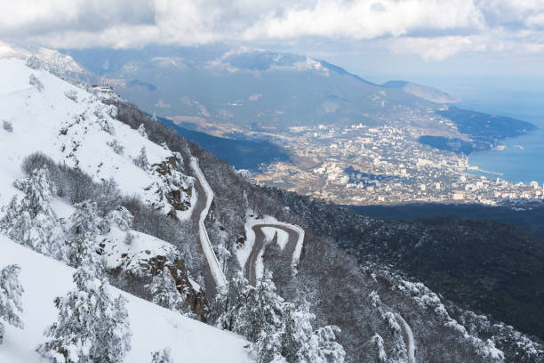
Winter Yalta view Ai-Petri. Mountain serpentine in the snow. Fluffy snow trees. Panorama view of the city from above. A winding snow-covered road. Majestic fabulous winter landscape without people