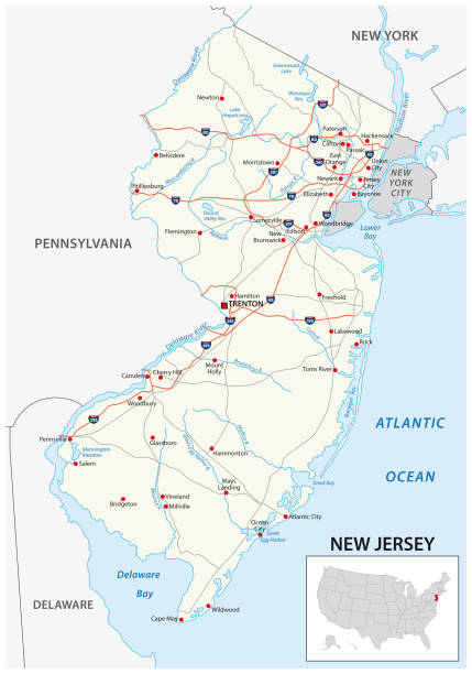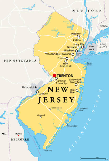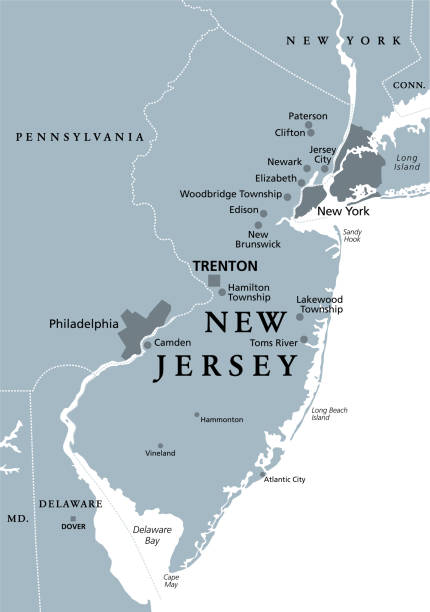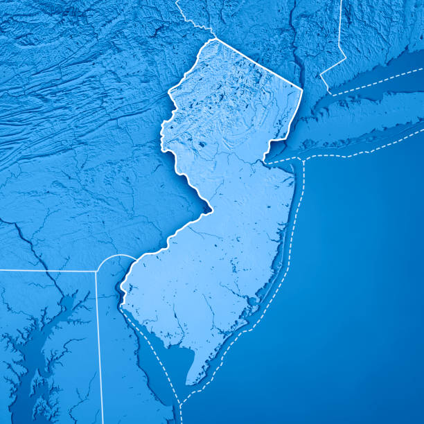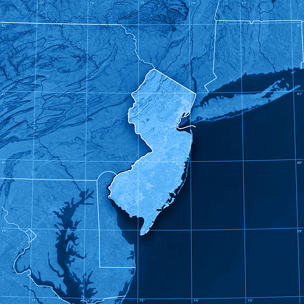
"3D render and image composing: Topographic Map of New Jersey, USA. Including state borders, rivers and accurate longitude/latitude lines. High quality relief structure!Relief texture and satellite images courtesy of NASA. Further data source courtesy of CIA World Data Bank II database.Related images:"