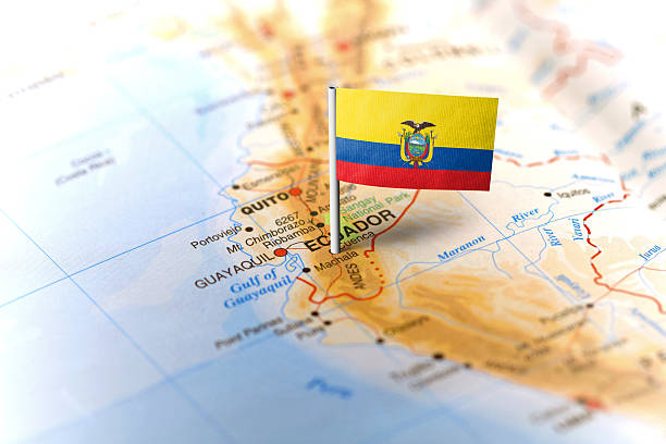
The flag of Ecuador pinned on the map. Horizontal orientation. Macro photography.
Browse 1,200+ close-up-flag-ecuador stock photos and images available, or start a new search to explore more stock photos and images.
The flag of Ecuador pinned on the map. Horizontal orientation. Macro photography.

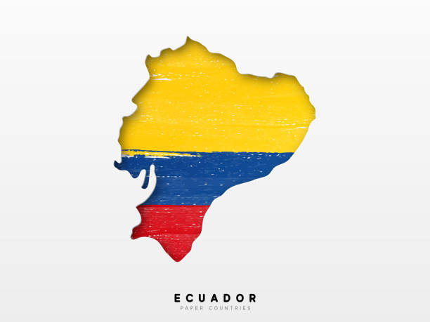
Ecuador map silhouette with flag isolated on white background. Simple flat icon illustration for web

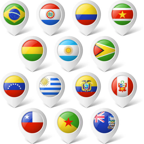
Ecuadorian flag map pin pointer layout. Vector illustration.
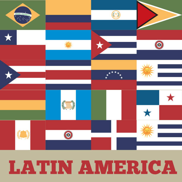
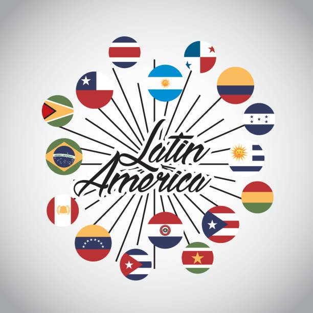
flags of latin america countries. colorful design. vector illustration
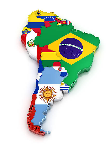
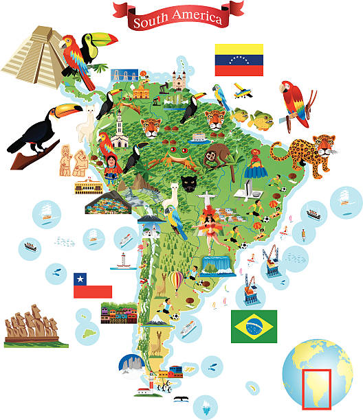
Map of South America with flags. Digitally generated 3d image. Isolated on white background.

Ecuador - highly detailed blue map. Vector illustration
Vector highly detailed political map of Latin America and their capitals. All elements are separated in editable layers clearly labeled. EPS 10

Ecuador map with waving flag isolated on white background. Vector illustration EPS10

Grunge map of Ecuador (without the Galápagos Islands) with its flag printed within its border on an old paper.
Vector flags isolated on white

Ecuador flag over cheap plastic map pointing Quito. Shallow depth of field
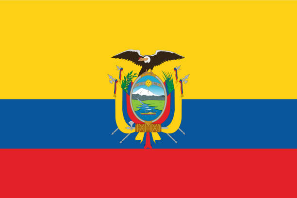
Flag of Ecuador. Vector illustration. World flag

A Ecuador map on white background 3d illustration with clipping path
Ecuador Detailed map with flag. Painted in watercolor paint colors in the national flag.

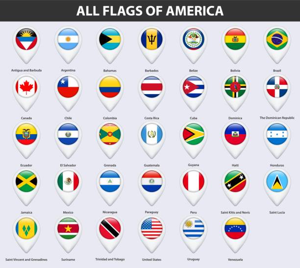
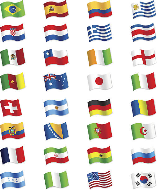
All round World Flags with country names (part2)

flags of latin america countries. colorful design. vector illustration
Vector illustration with transparent effect. Eps10.
flags of latin america countries on buttons. colorful design. vector illustration

Vector illustration of Brazil map overlaid with the national flag, highlighting the country's geographic outline combined with its national colors.

Detailed map of Colombia with navigation icons.
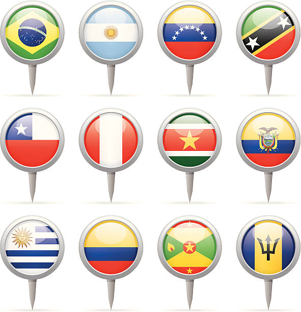
American Flags Round Icons, Zip includes 300 dpi JPG, Illustrator CS, EPS10. Vector with transparency.

Map of Colombia - Vintage Vector illustration
The maps are accurately prepared by a GIS and remote sensing expert.

Flags of South America collection overlaid on outline map isolated on white background

Ecuador map abstract geometric mesh polygonal light concept with glowing contour lines countries and dots on dark background. Vector illustration EPS10

web buttons with south america country flags in flat

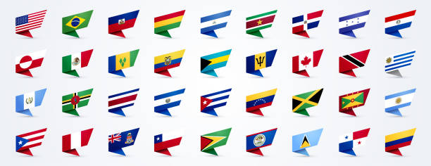
Waving Realistic Vector Flag Set. All Flags (part 2 of 4) Isolated on White Background

Black silhouette map of Honolulu city in Hawaii on white background

Colombia mapEarthI have used http://legacy.lib.utexas.edu/maps/world_maps/world_physical_2015.pdfhttp://legacy.lib.utexas.edu/maps/americas/colombia_physio-2008.jpg address as the reference to draw the basic map outlines with Illustrator CS5 software, other themes were created by myself.

Black silhouette map of Switzerland in Europe on white background

Vector map of South America with flags I have used http://legacy.lib.utexas.edu/maps/americas/south_america_ref_2010.pdf address as the reference to draw the basic map outlines with Illustrator CS5 software, other themes were created by myself.

Detailed map of Colombia with pointers.

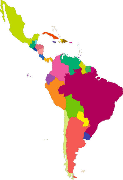
iSouth America countries maps set solated on white background
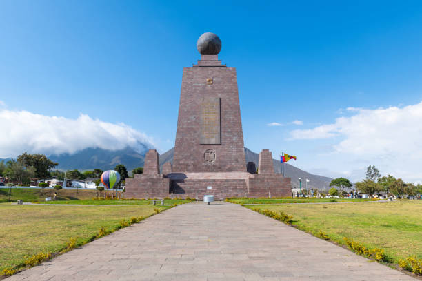
Equatorial line monument in Ciudad Mitad del Mundo (Middle of the world city) near Quito, Ecuador.

Credit: https://www.nasa.gov/topics/earth/imagesAn illustrative stock image showcasing the distinctive tricolor flag of Egypt beautifully draped across a detailed map of the country, symbolizing the rich history and culture

North and South America. Country border maps and flags. Vector illustration

Vector highly detailed political map of Latin America and their capitals. All elements are separated in editable layers clearly labeled. EPS 10

Black basic map of Ecuador with flag against white background The url of the reference to political map is: http://legacy.lib.utexas.edu/maps/americas/txu-pclmaps-oclc-754887586-ecuador_admin-2011.jpg Layers of data used: flag, map
South America map - highly detailed vector illustration

Highly detailed vector map of Brazil with states, capitals and big cities.