Images
Espana Pictures, Images and Stock Photos
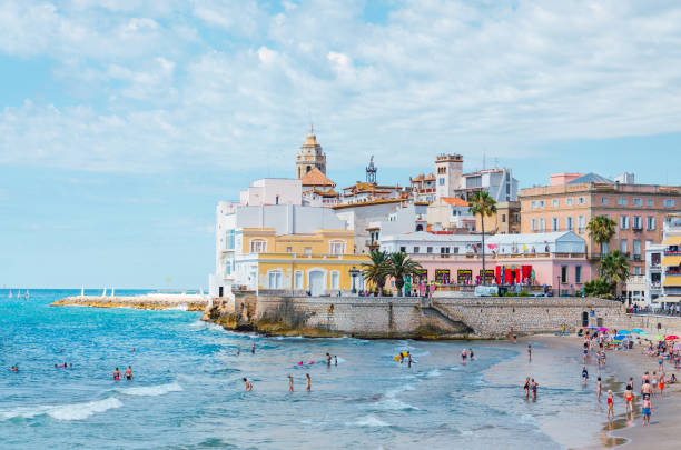
Browse 4,957,400+ espana stock photos and images available, or search for espana poster or espana map to find more great stock photos and pictures.
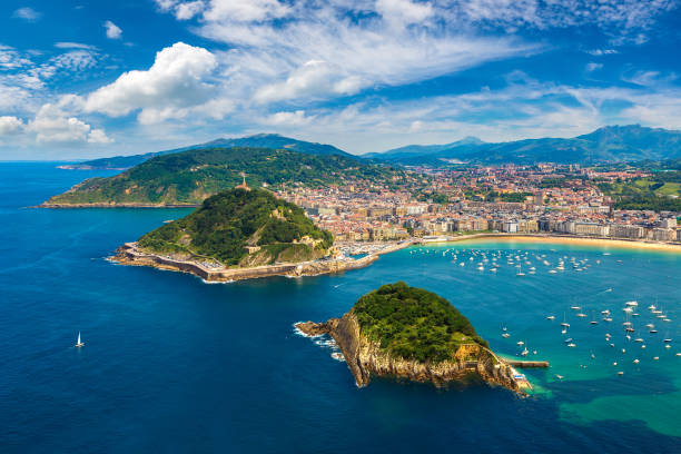
Panoramic aerial view of San Sebastian (Donostia) in a beautiful summer day, Spain
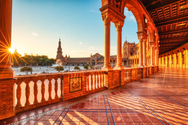
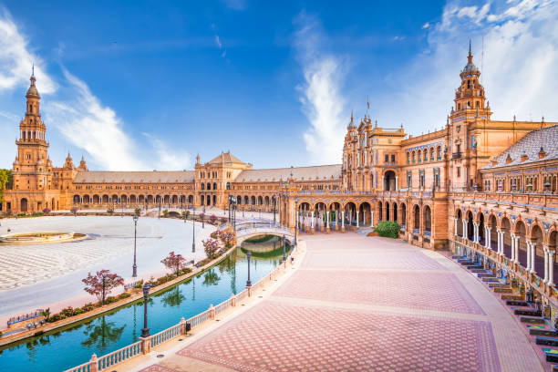
Plaza de Espana in Seville during Sunset, Andalusia, Spain

United States and Spain flag together realtions textile cloth fabric texture
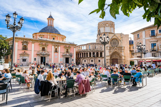
Valencia-Spain November 11, 2023. Cword of tourists enjoying a sunny day sitting in street cafe at Plaza de la Virgen or Plaça de la Mare de Déu

A table with typical Spanish food seen from above on a wooden table
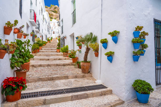
Frigiliana village whitewashed white typical in Costa del Sol of Malaga in Andalusia Spain
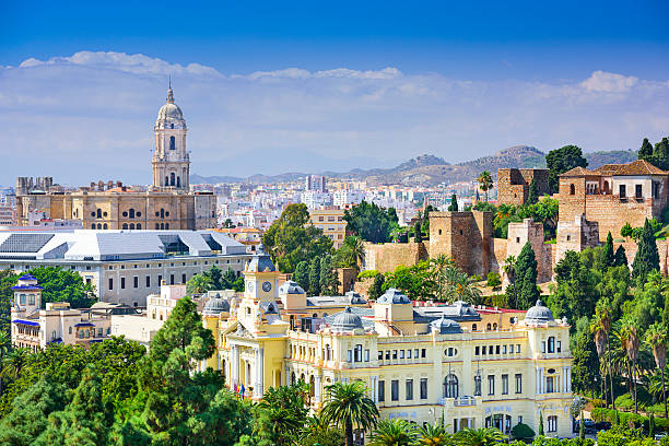
Malaga, Spain cityscape at the Cathedral, City Hall and Alcazaba citadel of Malaga.

Explanation of word communication / comunicación.
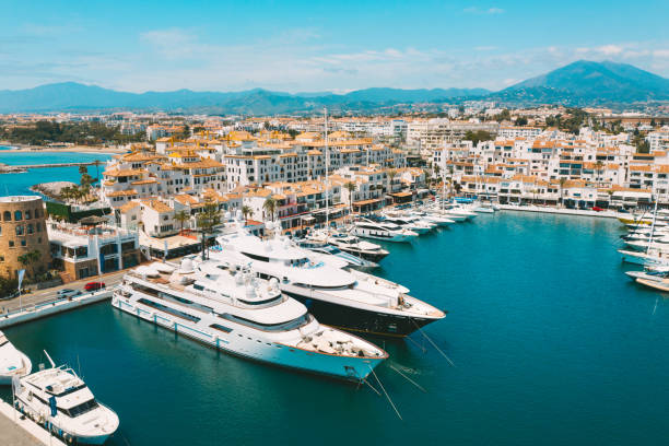
Aerial top view of luxury yachts in Puerto Banus marina, Marbella, Spain. High quality photo

Banco de España (Bank of Spain) building in Madrid, Spain.

happy couple relax on balcony terrace, on vacation in Europe
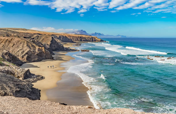
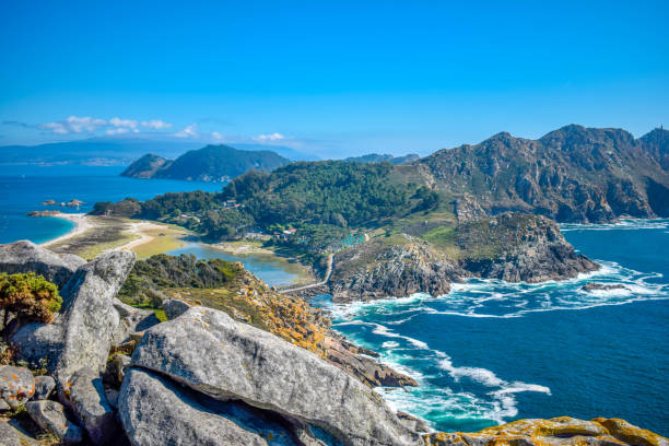
playa, del, viejo, rey, beach, fuerteventura, canary islands, canary islands, atlantic, atlantic, atlantic, ocean, basalt, blue, canarias, rock, hiking, sky, cliffs, coast, landscape,
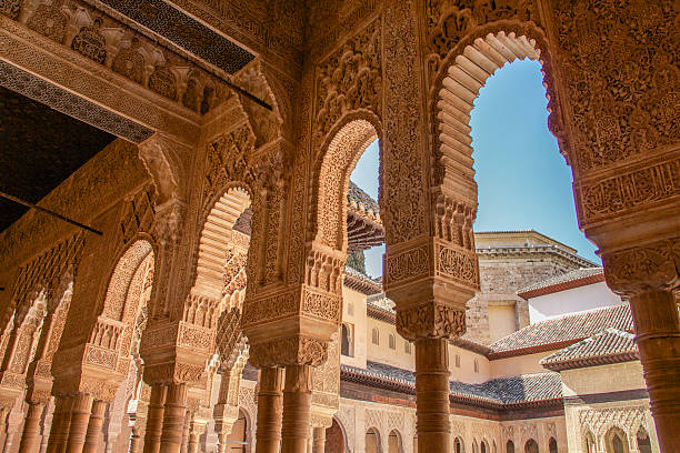
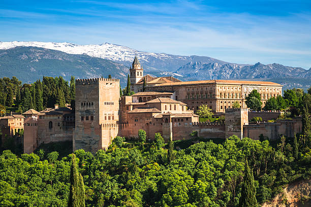
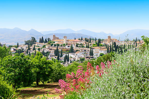
Granada, Spain - March 7, 2014: The Alhambra columns around the Court of the Lions in sunny morning.

Male and female travelers sitting on wall in public park near Sagrada Familia in Barcelona and taking selfie on sunny summer day.
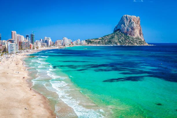
Calpe beach with Peñon de Ifach at background. Comunidad Autonoma de Valencia, Spain. Copy space available for text and/or logo. DSRL outdoors photo taken with Canon EOS 5D Mk II and Canon EF 17-40mm f/4L IS USM Wide Angle Zoom Lens

Olvera is considered the gate of white towns route in the province of Cadiz, Spain
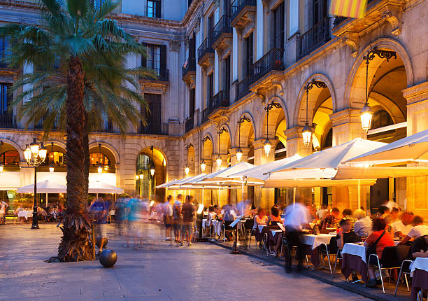
night view of Placa Reial with restaurants in summer. Barcelona


Low angle view of 30 year old Hispanic male tourist using smart phone for sightseeing guidance with Sagrada Familia in background.
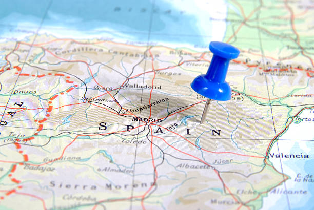
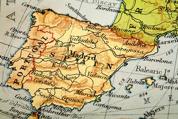
Blue push pin stuck in map of spain
Andalucia set of flat style vector icons and symbols
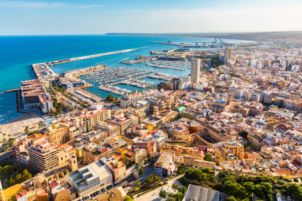
Alicante city panoramic aerial view with seaside, harbour and houses. Spanish city with beautiful beach. Travel and holidays concepts with a popular European summer destination.
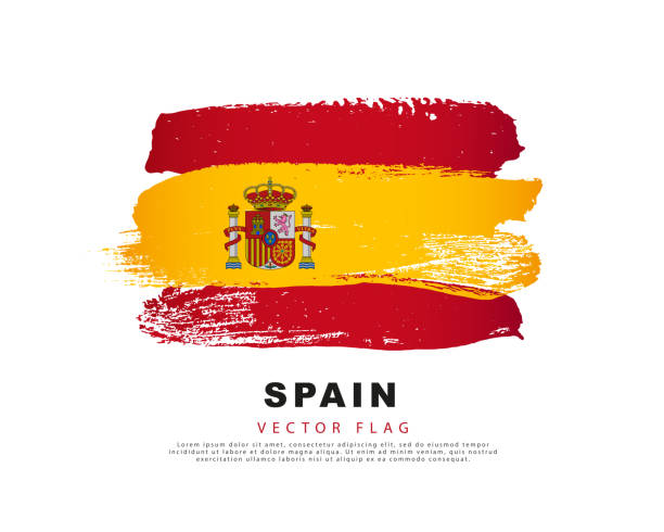
Spain flag. Hand drawn red and yellow brush strokes. Vector illustration isolated on white background. Spanish flag colorful logo.
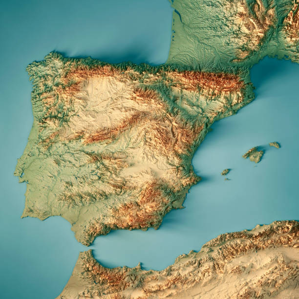
3D Render of a Topographic Map of Spain. All source data is in the public domain. Color texture: Made with Natural Earth. http://www.naturalearthdata.com/downloads/10m-raster-data/10m-cross-blend-hypso/ Relief texture and Rivers: SRTM data courtesy of USGS. URL of source image: https://e4ftl01.cr.usgs.gov//MODV6_Dal_D/SRTM/SRTMGL1.003/2000.02.11/ Water texture: SRTM Water Body SWDB: https://dds.cr.usgs.gov/srtm/version2_1/SWBD/
Spain, Seville. Spain Square, a landmark example of the Renaissance Revival style in Spanish architecture
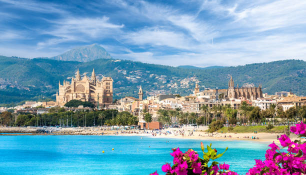
Landscape with beach and Palma de Mallorca town, Spain

concept of learning spanish (espanol) language. basic vocabulary written in notebook on wooden background
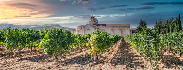
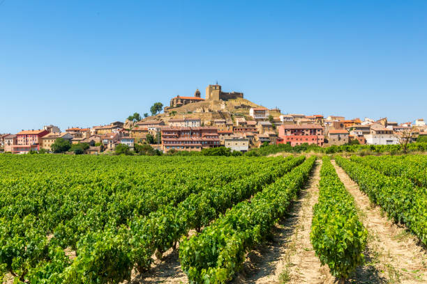
Vineyard and vines with the monastery of Santa María de Valbuena on the banks of the Douro River, Spain

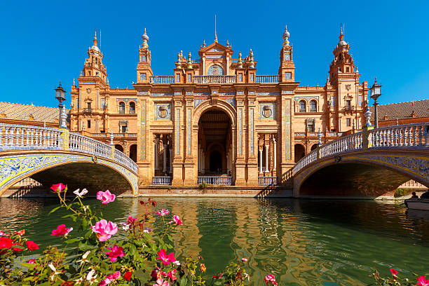
Spain Square or Plaza de Espana in Seville in the sunny summer day, Andalusia, Spain. Flower beds, bridges and channel in the foreground
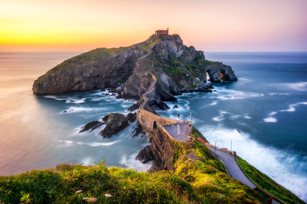
Long exposure in San Juan the Gaztelugatxe at sunset.
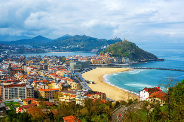
San Sebastian - Donostia city, Basque country, Spain, view of the Zurriola beach, Urgull mount, La Concha bay, surrounding Pyrenees mountains and Atlantic ocean
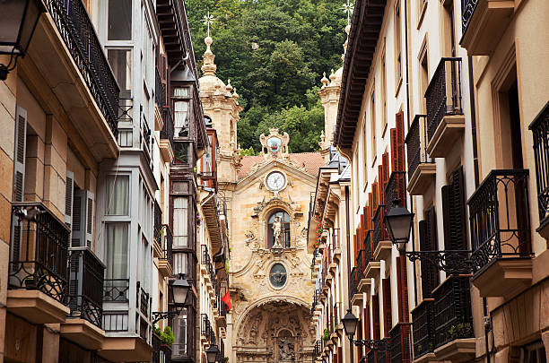
The church in the old town of San Sebastian, Spain.
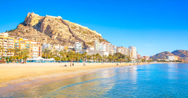
Postiguet beach and coastline in Alicante resort town, Spain
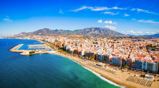
Fuengirola city beach and marina aerial panoramic view. Fuengirola is a city on the Costa del Sol in the province of Malaga in the Andalusia, Spain.

![Spain Topographic Relief Map - 3D Render 3D render of a topographic map of Spain. All source data is in the public domain. SRTM data courtesy of the U.S. Geological Survey (https://search.earthdata.nasa.gov/search/granules?p=C1000000240-LPDAAC_ECS&pg[0][v]=f&pg[0][gsk]=-start_date&q=srtm%201%20arc&tl=1640787673!3!!&m=11.7421875!-80.859375!2!1!0!0%2C2). Map rendered using QGIS and Blender software. espana stock pictures, royalty-free photos & images](https://media.istockphoto.com/id/1368052752/photo/spain-topographic-relief-map-3d-render.jpg?s=612x612&w=0&k=20&c=1lH19cv9o8Z0wpvB4AkqWEKjuoABNkhvx5glNmZb7mc=)
3D render of a topographic map of Spain. All source data is in the public domain. SRTM data courtesy of the U.S. Geological Survey (https://search.earthdata.nasa.gov/search/granules?p=C1000000240-LPDAAC_ECS&pg[0][v]=f&pg[0][gsk]=-start_date&q=srtm%201%20arc&tl=1640787673!3!!&m=11.7421875!-80.859375!2!1!0!0%2C2). Map rendered using QGIS and Blender software.
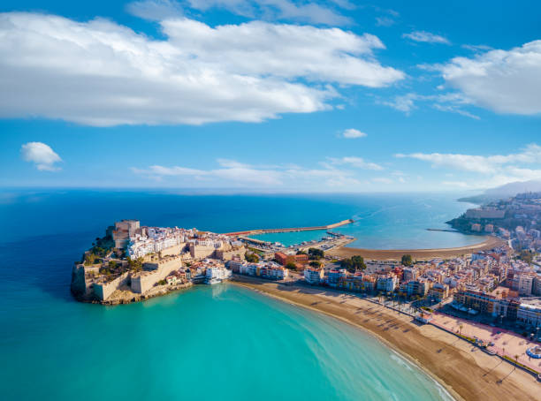
Peniscola Peñiscola village aerial view skyline in Castellon on Mediterranean sea of Spain. Costa del Azahar beach coast
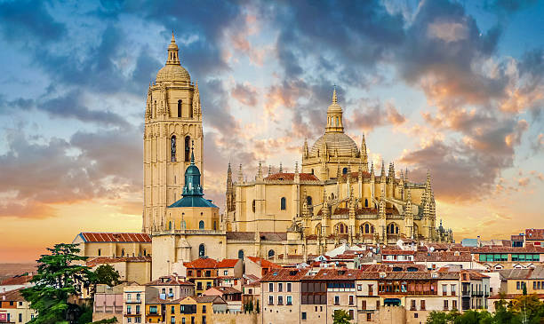
Catedral de Santa Maria de Segovia in the historic city of Segovia, Castilla y Leon, Spain

Flag of the Spain and the European Union in the form of puzzle pieces in concept of politics and economic union.
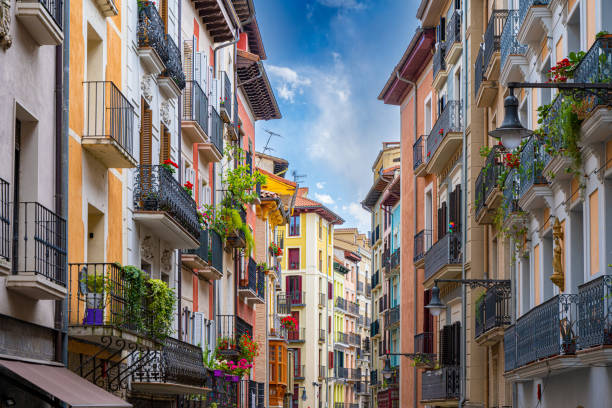
Colorful homes in Pamplona, Spain on the Camino de Santiago.
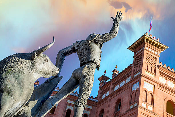
Madrid Landmark. Bullfighter sculpture in front of Bullfighting arena Plaza de Toros de Las Ventas in Madrid, a touristic sightseeing of Spain.

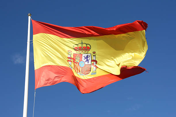
Spanish flag with fabric structure


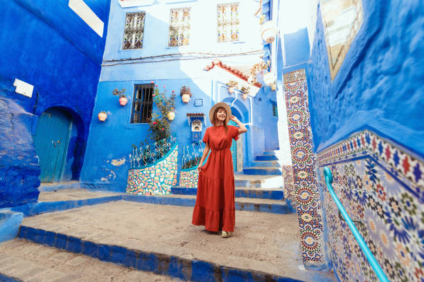
Scene with a female tourist who is walking on the street of Iberic city and poses in a famous, most recognizable places with breathtaking view
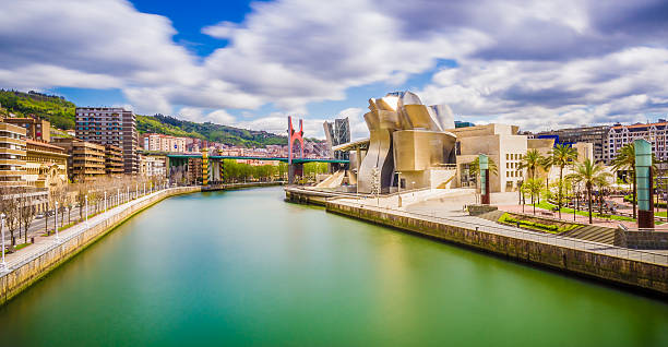
The cityscape of Bilbao, Spain. The Nervion river crosses Bilbao downtown, hosting in its margins the traditional and modern buildings of the city.
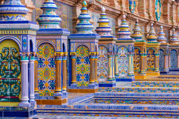
The typical ceramic and colourful benches of the famous Spanish square plaza de Espana) in Seville. It is built in 1928 for the Ibero-American Exposition. The benches all represent a region in Spain

Previous
of 100Next