Images
Jacksonville Symbol Pictures, Images and Stock Photos
Browse 1,100+ jacksonville symbol stock photos and images available, or start a new search to explore more stock photos and images.
Most popular
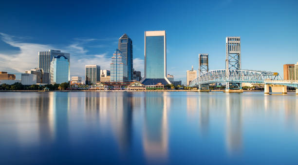
The Skyline of Jacksonville with beautiful Reflections in the Water
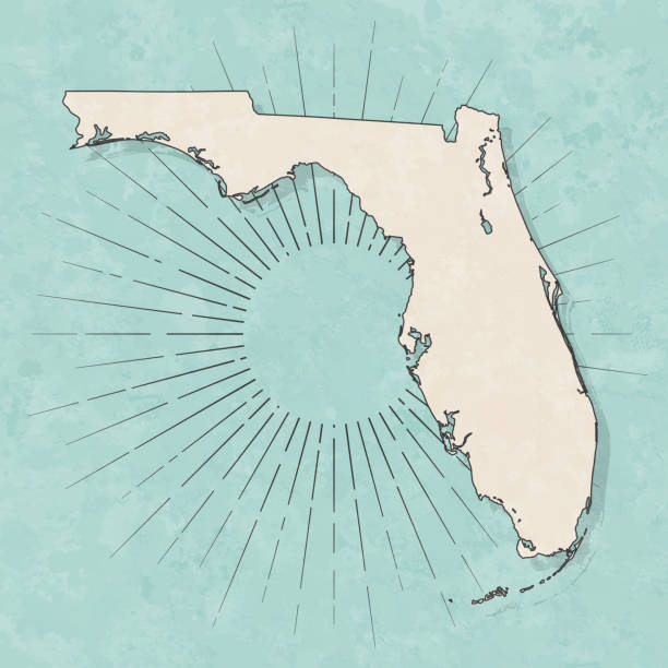
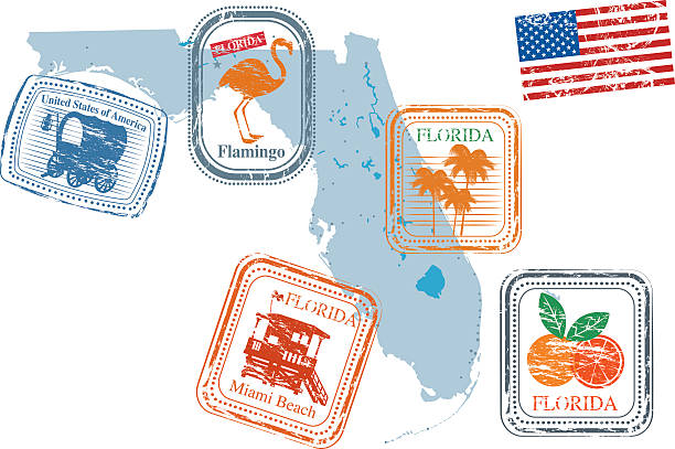
Map of Florida in a trendy vintage style. Beautiful retro illustration with old textured paper and light rays in the background (colors used: blue, green, beige and black for the outline). Vector Illustration (EPS10, well layered and grouped). Easy to edit, manipulate, resize or colorize.
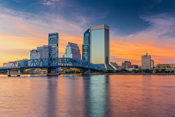
The Skyline of Jacksonville with beautiful Reflections in the Water
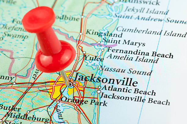
"Jacksonville Map. Source: ""Reference Atlas of the World"""

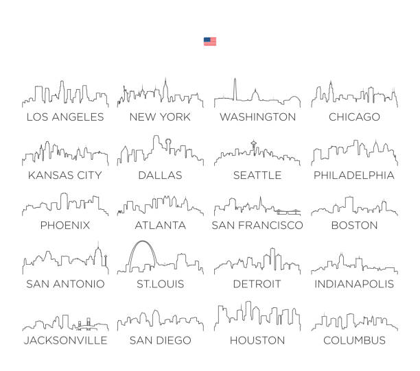
Series of stylized overlay cityscapes of large American cities
http://farm8.staticflickr.com/7189/6818724910_54c206caf8.jpg
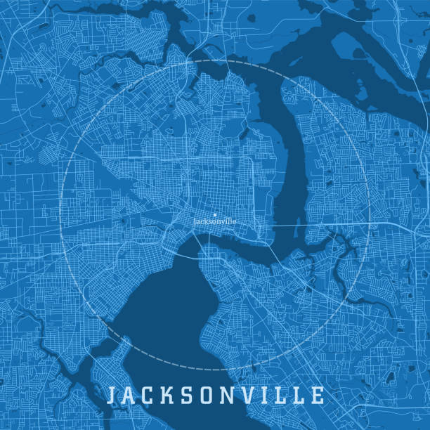
Jacksonville FL City Vector Road Map Blue Text. All source data is in the public domain. U.S. Census Bureau Census Tiger. Used Layers: areawater, linearwater, roads.
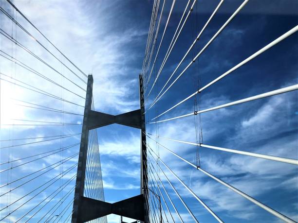
Cable bridge across St.Johns River on the blue sky white clouds and the sunlight, Winter in Jacksonville, Florida USA.

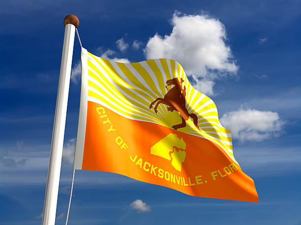
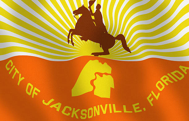
Jacksonville flag (isolated with clipping path)

The Skyline of Jacksonville with beautiful Reflections in the Water
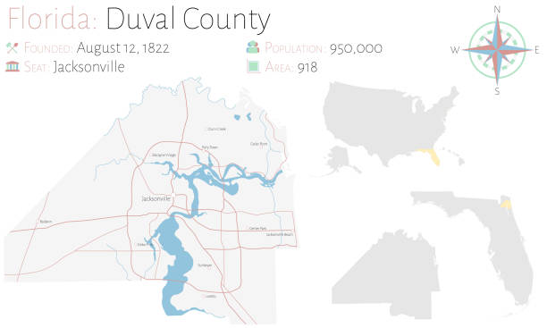
Large and detailed map of Duval county in Florida, USA.
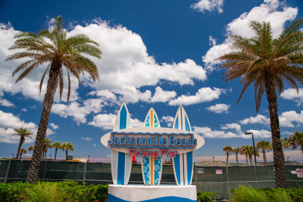
Jacksonville, FL, USA - April 30, 2020: Jacksonville Beach Fishing Pier surf boards
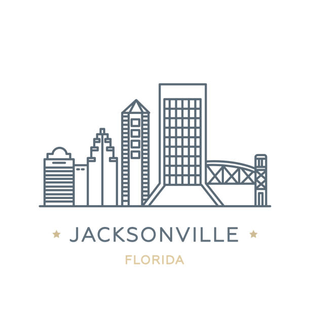
Line icon of famous and largest city of USA. Outline icon for web, mobile and infographics. Landmarks and famous building. Vector illustration, white isolated.
http://farm8.staticflickr.com/7189/6818724910_54c206caf8.jpg
Florida map dark silhouette isolated on white background
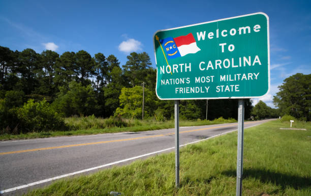
A sign welcomes travelers to the US state of North Carolina.

Florida, state of USA - solid black outline map of country area. Simple flat vector illustration.

Jacksonville FL City Vector Road Map Blue Horizontal. All source data is in the public domain. U.S. Census Bureau Census Tiger. Used Layers: areawater, linearwater, roads.
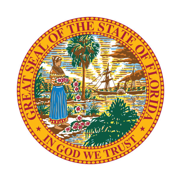
Beautiful vector of Florida state seal flag.


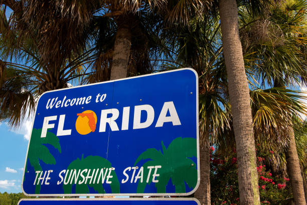
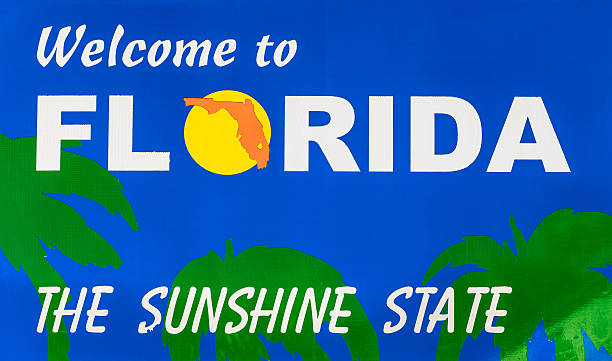
Tropical Scene welcoming you to the state of Florida.

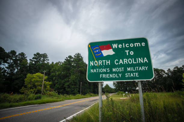
A sign on a two-lane country road welcomes residents and visitors to North Carolina.
Digitally created image of a waving State of Florida - City flag.

A set of wooden crosses stands along the shore of the St. Johns River near Jacksonville, Florida.

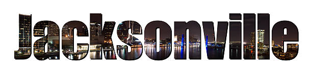
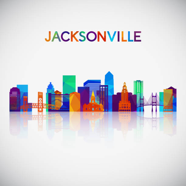
The word "Jacksonville" cut out of a picture of Jacksonville Floriday taken at night.
The maps are accurately prepared by a GIS and remote sensing expert.

Jacksonville, FL, USA - September 21, 2013: A Starbucks Coffee coffeehouse. Starbucks is the largest coffeehouse company in the world, with 20,891 stores in 62 countries (2013).

St. Augustine, USA - May 10, 2018: St George Street and nobody on sunny day in downtown old town Florida city in Art alley called Arcade of Professional Artisans and Craftsmen


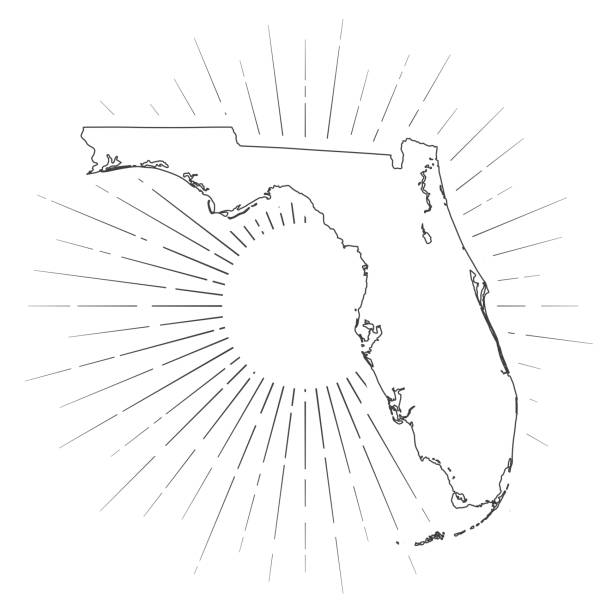
Map of Florida created with a thin black outline and light rays. Trendy and modern illustraion isolated on a blank background. Vector Illustration (EPS10, well layered and grouped). Easy to edit, manipulate, resize or colorize.
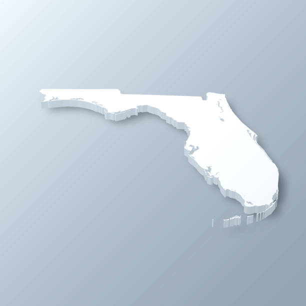
3D map of Florida isolated on a blank and gray background, with a dropshadow. Vector Illustration (EPS10, well layered and grouped). Easy to edit, manipulate, resize or colorize.
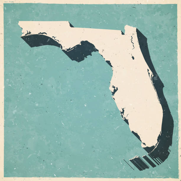
Map of Florida in a trendy vintage style. Beautiful retro illustration with old textured paper and a black long shadow (colors used: blue, green, beige and black). Vector Illustration (EPS10, well layered and grouped). Easy to edit, manipulate, resize or colorize.
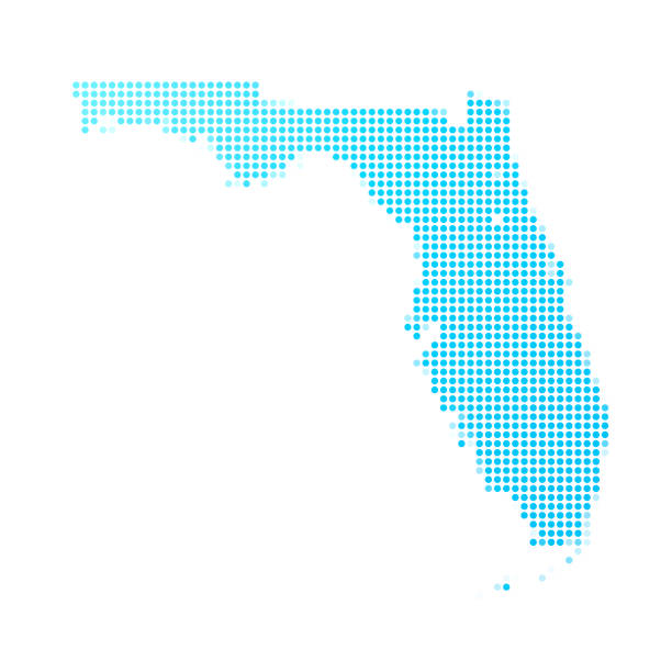
Map of Florida made with round blue dots on a blank background. Original mosaic illustration. Vector Illustration (EPS10, well layered and grouped). Easy to edit, manipulate, resize or colorize. Please do not hesitate to contact me if you have any questions, or need to customise the illustration. http://www.istockphoto.com/portfolio/bgblue
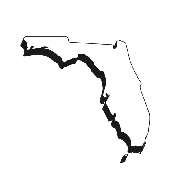
Map of Florida isolated on a blank background with a black outline and shadow. Vector Illustration (EPS file, well layered and grouped). Easy to edit, manipulate, resize or colorize. Vector and Jpeg file of different sizes.
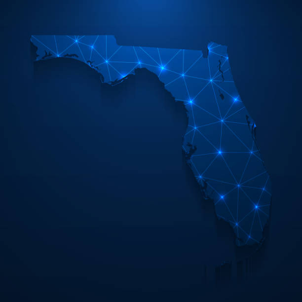
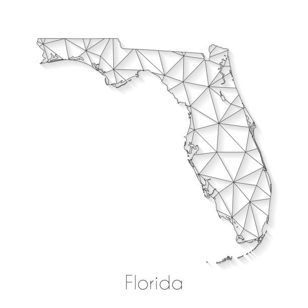
Map of Florida created with a mesh of thin bright blue lines and glowing dots, isolated on a dark blue background. Conceptual illustration of networks (communication, social, internet, ...). Vector Illustration (EPS10, well layered and grouped). Easy to edit, manipulate, resize or colorize.
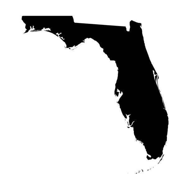
Florida, state of USA - solid black silhouette map of country area. Simple flat vector illustration.
Florida map created with a mesh of thin black lines and a light shadow, isolated on a blank background. Conceptual illustration of networks (communication, social, internet, ...). Vector Illustration (EPS10, well layered and grouped). Easy to edit, manipulate, resize or colorize.
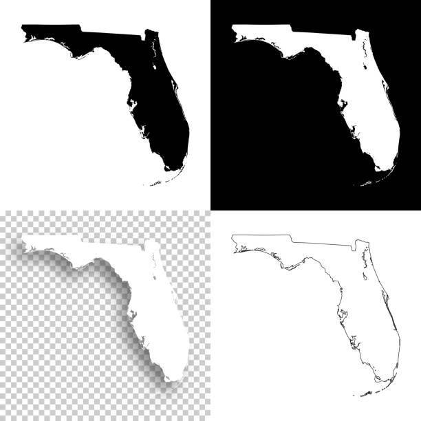
Map of Florida for your own design. With space for your text and your background. Four maps included in the bundle: - One black map on a white background. - One blank map on a black background. - One white map with shadow on a blank background (for easy change background or texture). - One blank map with only a thin black outline (in a line art style). The layers are named to facilitate your customization. Vector Illustration (EPS10, well layered and grouped). Easy to edit, manipulate, resize or colorize. Please do not hesitate to contact me if you have any questions, or need to customise the illustration. http://www.istockphoto.com/portfolio/bgblue
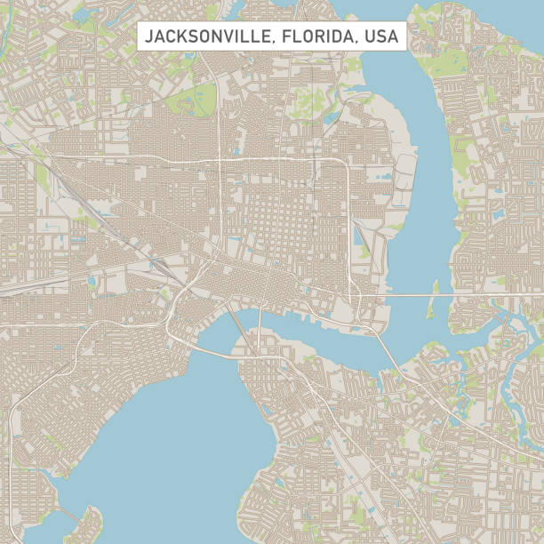
Vector Illustration of a City Street Map of Jacksonville, Florida, USA. Scale 1:60,000. All source data is in the public domain. U.S. Geological Survey, US Topo Used Layers: USGS The National Map: National Hydrography Dataset (NHD) USGS The National Map: National Transportation Dataset (NTD)

Florida state metal vintage travel plate. USA old, sign, signboard retro typography, inscription of Sunny Florida and sunrise or sunset. Tallahassee capital, Jacksonville city
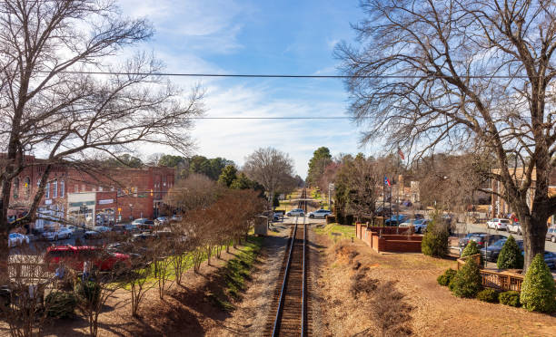
Waxhaw, NC, USA-28 Jan 2023: Wide view from walking bridge down railroad tracks, with North and South Main Streets on a sunny winter day.
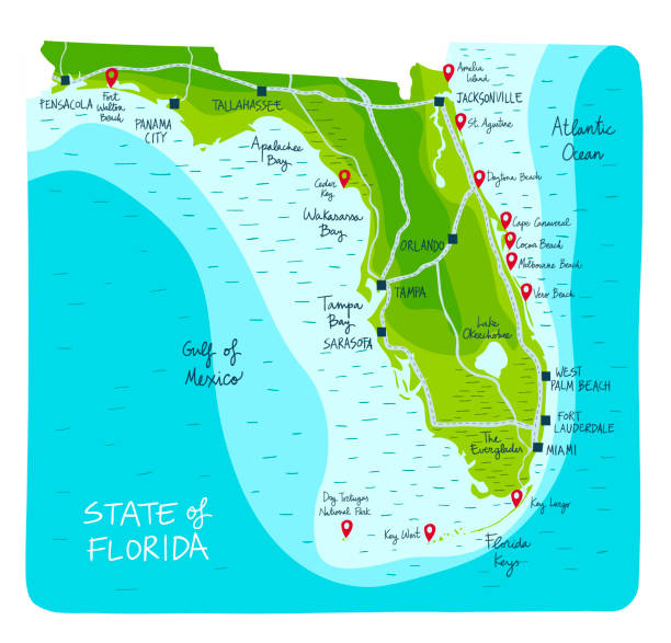
Hand Drawn map of the state of Florida with main cities and point of interest. Colorful flat style

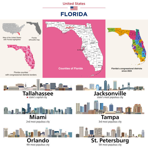
Florida counties map and congressional districts since 2023 map. State's capital city and state's largest cities skylines. Vector set. I drew all elements in a vector graphics editor and design program. Elements and layers are well organized, separable, detachable and easy to use and edit. Map data is in the public domain, available from the United States Census Bureau via census.gov
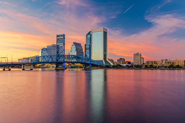
The Skyline of Jacksonville with beautiful Reflections in the Water
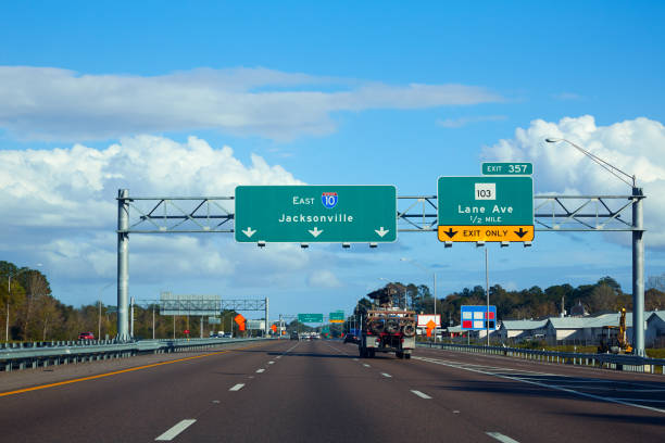
I-10 interstate in Jacksonville Florida USA with traffic cars US
Next