Whitewater of the Middle Popo Agie River at Sinks Canyon, Lander Wyoming, USA
Browse 150+ lander wyoming stock photos and images available, or search for riverton wyoming or tongass national forest to find more great stock photos and pictures.
Whitewater of the Middle Popo Agie River at Sinks Canyon, Lander Wyoming, USA

The East Fork River in the Wind River Range of Wyoming. Left to right, Ambush Peak, Raid Peak and Midsummer Dome are seen to the north.

High drone footage of the Wind River Mountains south of Lander, Wyoming

Nevada flag on a flagpole waving in the wind, blue sky background. 3d rendering.

Beautiful canyon in South Pass, Wyoming

Morning alpenglow illuminates an unnamed peak located north of Mount Geikie and south of Raid Peak in Wyoming's Wind River Range.
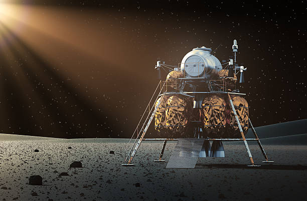
Cosmonaut Astronaut Landing Planet Lander Icon on Stylish Earth Moon Stars Background Cartoon Design Vector Illustration

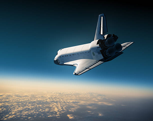
Space Shuttle In The Clouds. 3D Illustration.

Space Shuttle Landing In The Clouds. 3D Scene.

Suspension bridge over the Middle Popo Agie River at Sinks Canyon, Lander Wyoming, USA

Munich, Germany - September 30, 2015: Refugees waiting for a breafast at Bayern Kasern centre in Muncih

A group of deer in the front yard of a house in Lander Wyoming

A picture of 'The Sinks' outside of Lander, Wyoming.

Map of German states with cites (EN names) on white background. A small scale contour map of Germany projected in WGS 84 World Mercator. Map was made with Natural Earth (naturalearthdata.com) professional free geodata which are in the public domain. Created on 2014-02-26 in specialized cartographic software MAPublisher and AI CS5.
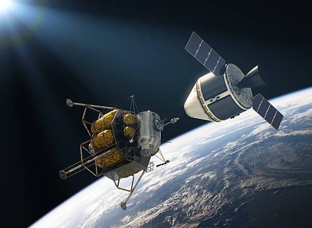
Crew Exploration Vehicle Docking In Space. 3D Illustration.
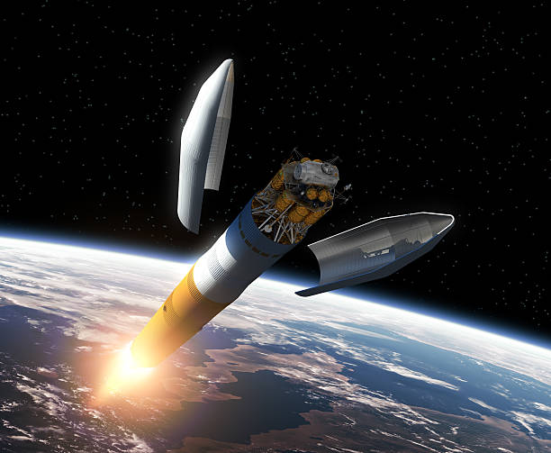
Crew Exploration Vehicle Orbiting Earth. 3D Scene.
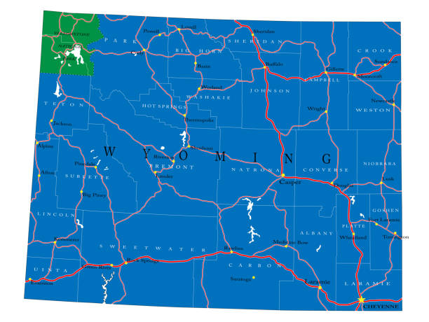
Detailed map of Wyoming state,in vector format,with county borders,roads and major cities.

This file is a map highlighting Austria as well as it's states and capital cities. This map also shows surrounding countries and capital cities if present. This map has text labels for the countries, states, capital cities and major bodies of water. ZOOM IN on this highly detailed map, it is a great addition to the collection. This file will work well for your print or web based project. This file is layered and grouped (labeled in ai v10 file), making it a very easy file to work with. This download contains an editable ai v10 and eps file, as well as a large JPG file.

"Detailed map of Germany in four versions, with states subdivision and main cities. Elements are in 8 layers and global colors are used for easy editing."

Map of German states on white background. A small scale contour map of Germany projected in WGS 84 World Mercator. Map was made with Natural Earth (naturalearthdata.com) professional free geodata which are in the public domain. Created on 2014-02-26 in specialized cartographic software MAPublisher and AI CS5.

State flag of Nevada waving in the wind. Dramatic sky background. 3d illustration.

"The Popo Agie river sinks into a cave near Lander, Wyoming. Sinks Canyon State Park."

Banner Space Colonization Infographics Cartoon. Scheme Colonization Red Planet. Modern Interplanetary Transport System. Buildings for Development Uninhabited Planet. Vector Illustration.

Space Shuttle Landing Over The Clouds. 3D Illustration.

Spaceship Orbiting The Earth. Realistic 3D Scene.
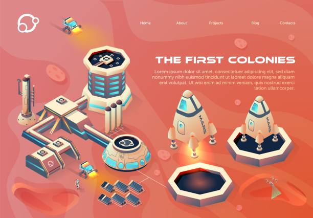
Information Poster is Written the First Colonies. Station and Platform for Departure and Landing Space Shuttle. Gravity Simplifies Take-off Spacecraft from Surface Planet. Vector Illustration.

Astronaut boy landed on a moon or an alien planet on his rocket ship shuttle. Standing in spacesuit on a surface. Flat style vector illustration.

Space Shuttle Landing On The Background Of Sunset. 3D Scene.

Radiant light from the collocation "LANDING PAGE"

A horse grazing in a field in Lander, Wyoming at the WMI Wyss Medicine Campus

Image relative to USA travel. Wyoming cities and places names cloud. 3D rendering

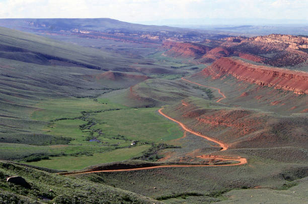
Red Canyon Wildlife Habitat Management area of the Wind River Mountain Range outside of Lander Wyoming USA on the way to South Pass

Printable map of Wyoming state of United States of America. The map is accurately prepared by a map expert.
Cosmonaut Astronaut Landing Planet Lander Icon on Stylish Earth Moon Stars Background Cartoon Design Vector Illustration

Fatbike is a good transportation for astronauts.

Alien robotic Warrior with Red armor, landed on the Planet with spaceship, 3d illustration

3D Render of a Map of Wyoming with Straight Pins at the Position of important Cities. Vintage Color Style. Very high resolution available! All source data is in the public domain. http://www.naturalearthdata.com/about/terms-of-use/ Made with Natural Earth: Internal Administrative Boundaries, Populated Places http://www.naturalearthdata.com/downloads/10m-cultural-vectors/
© 2024 iStockphoto LP. The iStock design is a trademark of iStockphoto LP. Browse millions of high-quality stock photos, illustrations, and videos.
Do Not Sell or Share