Images
Maryland State Colors Pictures, Images and Stock Photos
Browse 1,000+ maryland state colors stock photos and images available, or start a new search to explore more stock photos and images.
Most popular
Set of Maryland map, united states of america. Flat concept icon vector illustration .


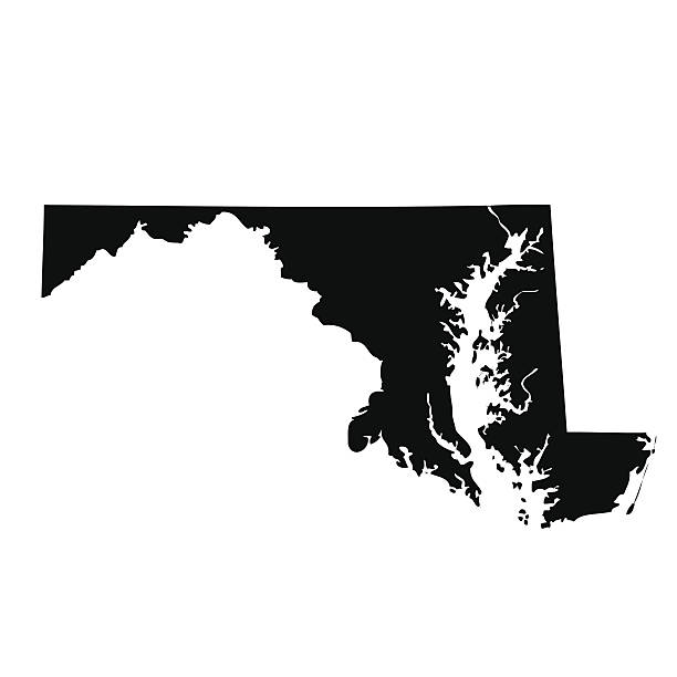
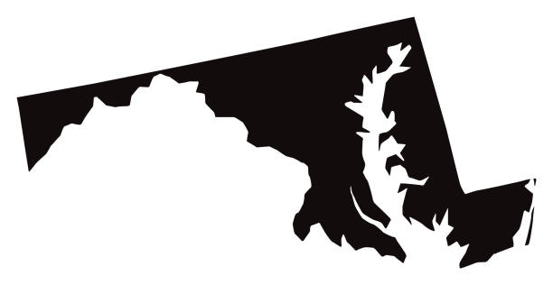
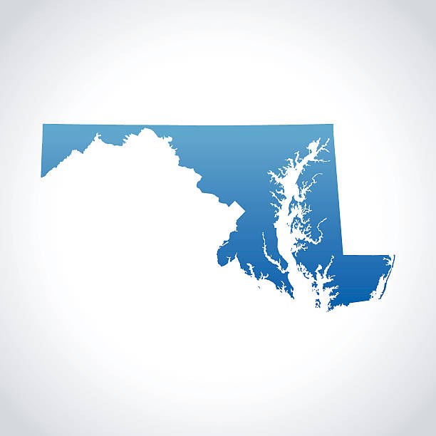
Maryland, state of USA - solid black outline map of country area. Simple flat vector illustration.
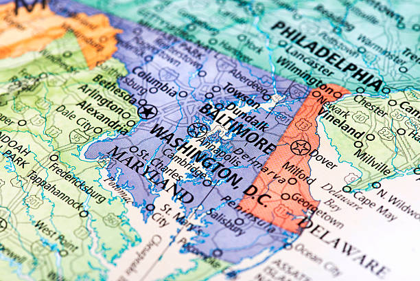
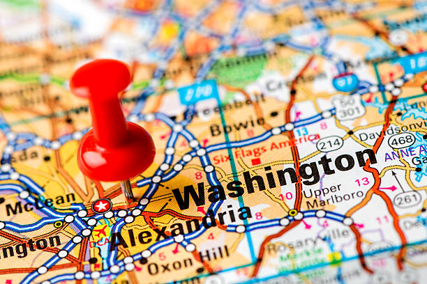
Map of Washington D.C. in USA. Detail from the World Map.
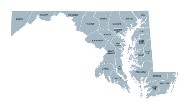
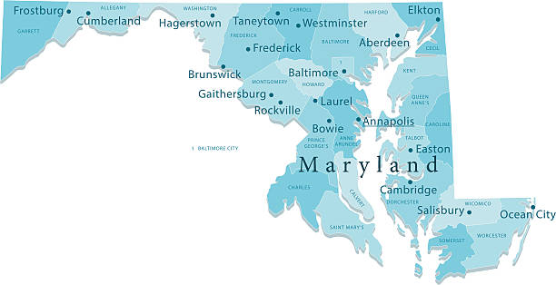
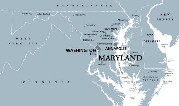
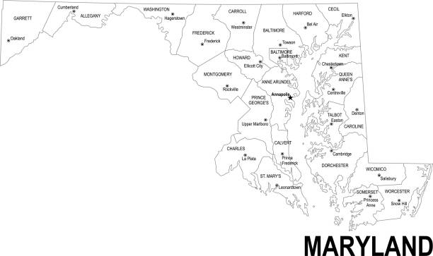
Maryland, U.S. state, gray political map with borders and county names. State in the Mid-Atlantic region of the USA, subdivided into 23 counties and the independent City of Baltimore. Old Line State
The state capitol building of Maryland on a bright summer day - Annapolis, MD
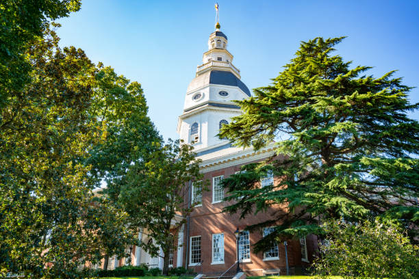
Maryland State Capital Building in Annapolis, Maryland
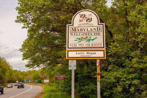
Point of Rocks, MD, USA 04-30-2021: Maryland Welcomes You road sign on the scenic byway US Route 15 at the border of Maryland and Virginia. It has MD flag and says open for business.
Vector of Highly Detailed Map of Maryland State of the United States of America - The url of the reference file is : https://www.cia.gov/library/publications/the-world-factbook/graphics/ref_maps/pdf/united_states.pdf
"Detailed vector map of Maryland with administrative divisions. File was created on December 5, 2012. The colors in the .eps-file are ready for print (CMYK). Included files: EPS (v8) and Hi-Res JPG (5600aa aaa 3121 px)."

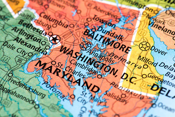
Map of Washington, D.C. in USA. Detail from the World Map.

Maryland US state map red outline border. Vector illustration isolated on white. Two-letter state abbreviation. Editable stroke. Adjust line weight.
"Highly-detailed Maryland county map (including D.C). Each county shape is in a separate labeled layer. All layers have been alphabetized for easy manipulation, recoloring or other use. (see image below -- note: labels only available in AICS2 and AI10 files)"
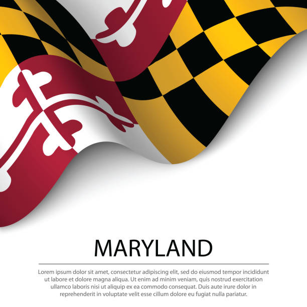
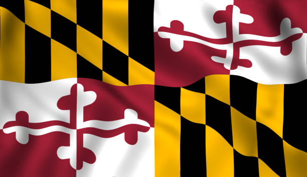
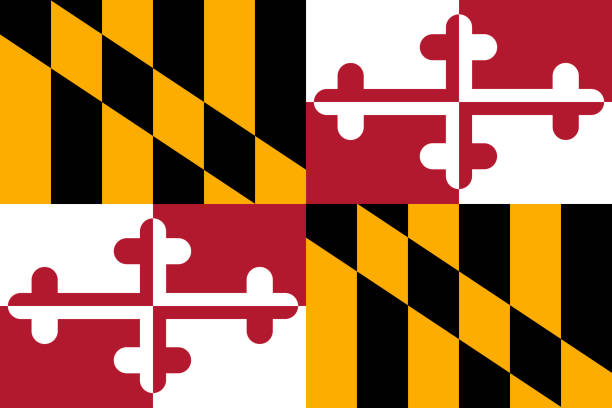
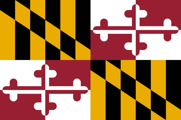
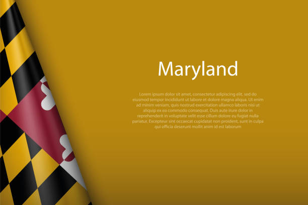
Waving flag of Maryland is a state of USA on white background. Banner or ribbon vector template
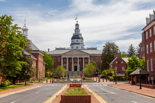
Historical Maryland State Capitol building in Annapolis, the oldest state house that is still in use. Other state government buildings such as court of appeal and senate are seen on each side.

Maryland, MD, gray political map. State in Mid-Atlantic region of United States of America. Capital Annapolis. Old Line State. Free State. Little America. America in Miniature. Illustration. Vector.
vector map of the Maryland.
a Maryland flag and a US flag blowing in the wind
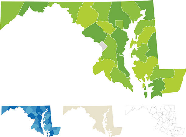
Highly-detailed Maryland county map. Each county is in it's own separate labeled layer. County names are in a separate layer and can be easily adjusted or removed as well. All layers have been alphabetized for easy manipulation, recoloring or other use.


made with blue crab caught in Chesapeake bay, Crab cake is a favorite dish in the state of Maryland. Meat is mixed with sauces, crumbles, seasoning and vegetables and shaped in to patties to grill
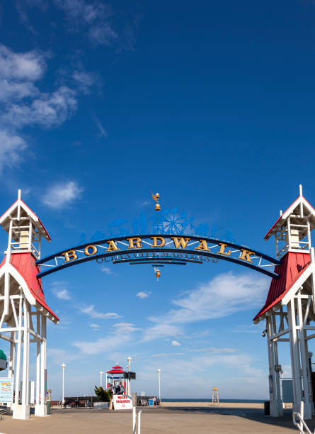
Image of the entrance of famous board walk of Ocean City, MD by the beach where people are walking on a sunny afternoon. A popular tourist spot on east coast of USA. A wooden arch is erected to mark the spot.
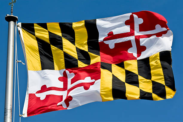
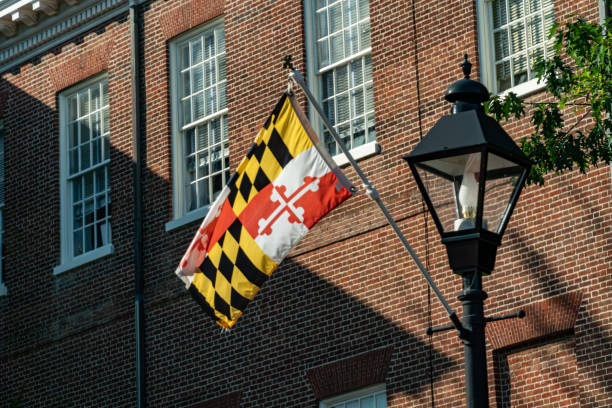
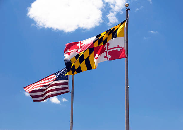
The colorful flag of the state of Maryland flying in a stiff breeze.
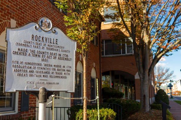
Rockville, MD, USA 11/23/2020: Rockville has been the county seat of Montgomery County, Maryland since 1776. This is a big town with a blend of historic elements and large urban areas.
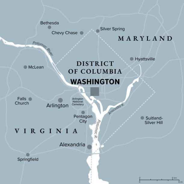
Washington, D.C., gray political map. District of Columbia, capital city and federal district of the United States. Located on Potomac River, across from Virginia, sharing land borders with Maryland.


Virginia, VA, gray political map. Commonwealth of Virginia. State in Southeastern and Mid-Atlantic region of United States. Capital Richmond. Old Dominion. Mother of Presidents. Illustration. Vector.
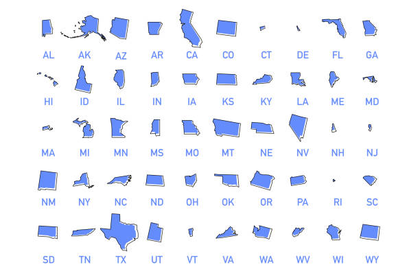
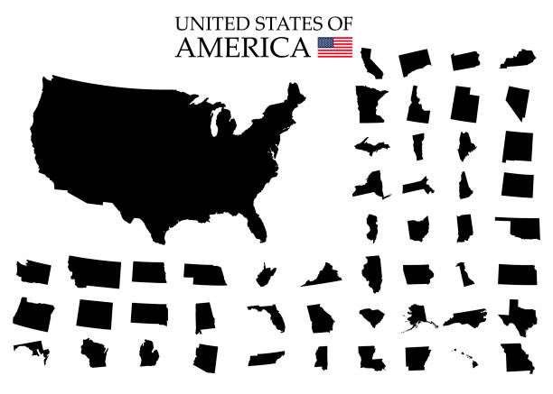
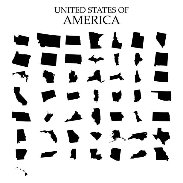
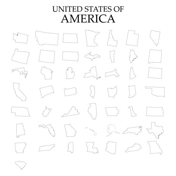
USA states vector illustration. All 50 states of America shapes coloured in lilac isolated on white background.
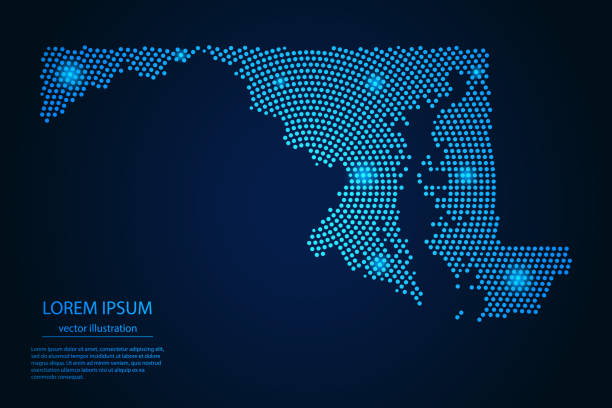
Abstract image Maryland map from point blue and glowing stars on a dark background. vector illustration.
3d flag Maryland, state of United States, isolated on background with copyspace
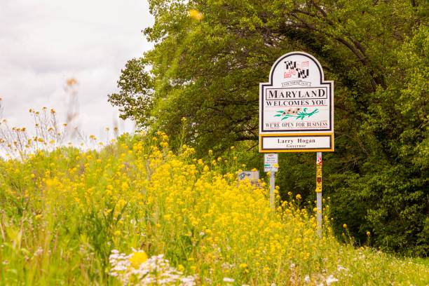
Point of Rocks, MD, USA 04-30-2021: Maryland Welcomes You road sign on the scenic byway US Route 15 at the border of Maryland and Virginia. It has MD flag and says open for business. Wildflowers in spring are all over the place

A vertical shot of the famous United States Capitol Building in Washington, D.C., United States
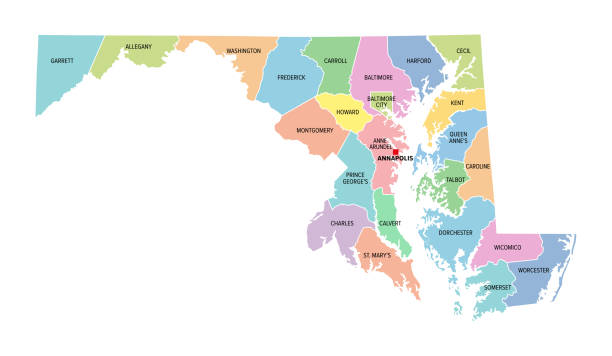
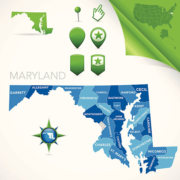
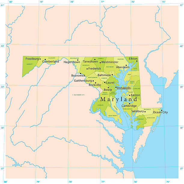
Maryland, U.S. state, colored political map with county names and capital Annapolis. State in the New England region of Northeastern USA, subdivided into 23 counties and independent City of Baltimore.
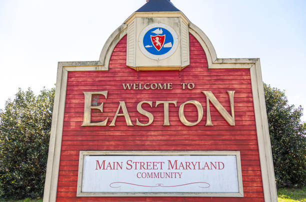
The western entrance of the historic picturesque small town of Easton, MD, center of Talbot County. A landmark with coat of arms is erected on US route 50 that says welcome to Easton.
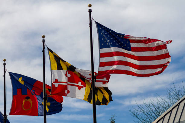
Threeflags are vawing on seperate flags poles against blue sky on a windy day. From right to left they stand for: USA, state of Maryland and Montgomery County


Detailed outline map of Maryland with capital


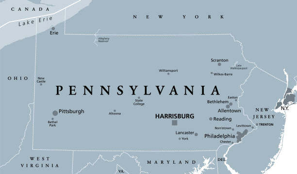
Pennsylvania, PA, gray political map. The Commonwealth of Pennsylvania, a state in the Northeastern United States of America with capital Harrisburg. Keystone State. Quaker State. Illustration. Vector
http://farm8.staticflickr.com/7189/6818724910_54c206caf8.jpg
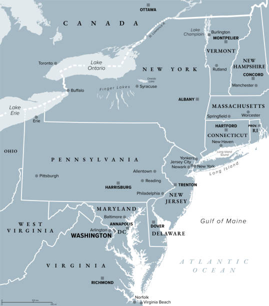
Mid-Atlantic region of the United States, gray political map. The overlap between the Northeastern and Southeastern states, including Delaware, D.C., Maryland, New Jersey, New York and Pennsylvania.
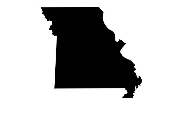
silhouette map of the state of Missouri in the United States on white background
silhouette map of the city of Baltimore in Maryland on white background

Highly detailed vector map of Maryland, United States. File was created on November 16, 2012. The colors in the .eps-file are ready for print (CMYK). Included files: EPS (v8) and Hi-Res JPG (5600 × 5600 px).
Next