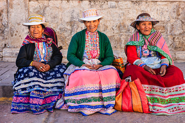
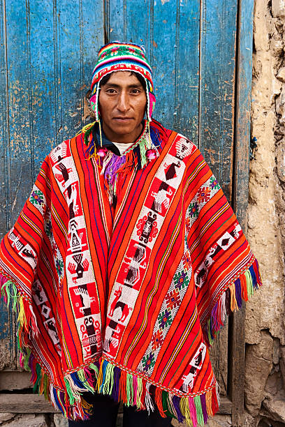
Peruvian dancers at the parade in Cusco. People in traditional clothes.
Browse 52,100+ peruvian culture stock photos and images available, or search for peruvian ethnicity or peruvian food to find more great stock photos and pictures.
Peruvian dancers at the parade in Cusco. People in traditional clothes.
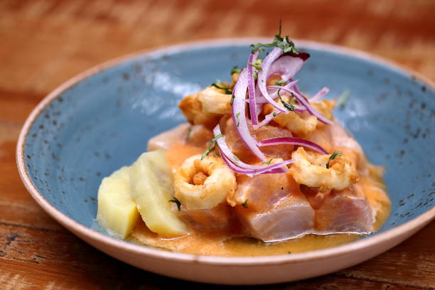
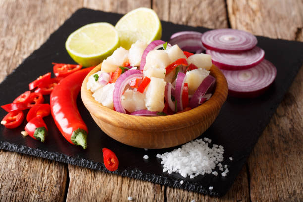
Ceviche, classic Peruvian cuisine dish
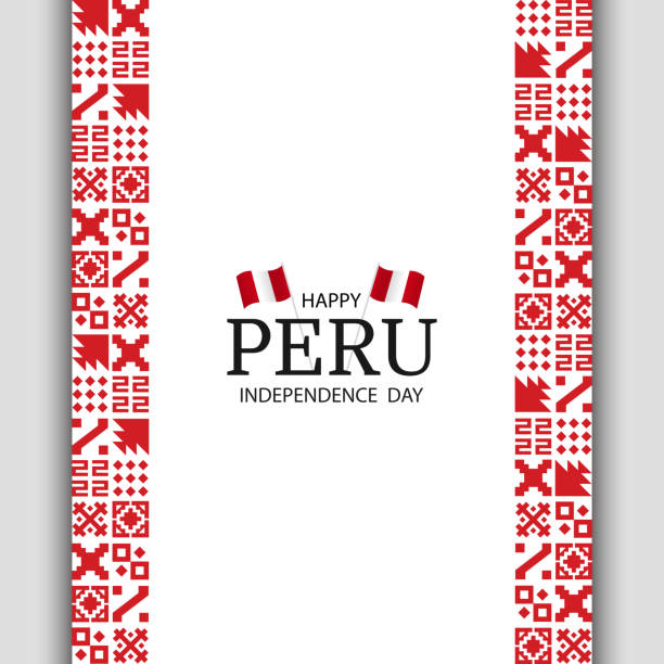
Vector Illustration of Peru Independence Day. National pattern.
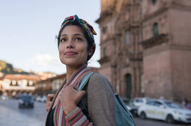
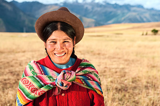
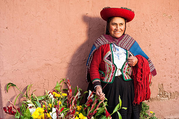
Portrait of a happy woman sightseeing walking around Cusco by the Cathedral and smiling - travel destinations concepts
Vector folk seamless Aztec ornament, ethnic pattern
Chivay is a town in the Colca valley, capital of the Caylloma province in the Arequipa region, Peru. Located at about 12,000 ft above sea level, it lies upstream of the renowned Colca Canyon. It has a central town square and an active market. Ten kilometers to the east, and 1,500 meters above the town of Chivay lies the Chivay obsidian source. Thermal springs are located 3 km from town, a number of heated pools have been constructed. A stone "Inca" bridge crosses the Colca River ravine, just to the north of the town. The town is a popular staging point for tourists visiting Condor Cross or Cruz Del Condor, where condors can be seen catching thermal uplifts a few kilometers downstream.http://bem.2be.pl/IS/peru_380.jpg
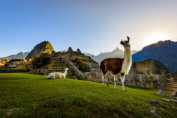
Llamas resting on a terrace during the first light on the ruins of the Incan city of Machu Picchu, Peru.
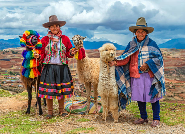
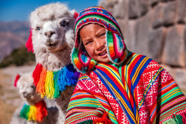
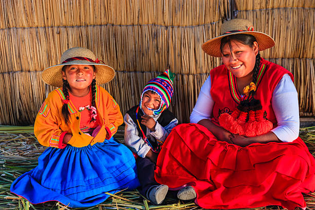
A rural portrait of Quechua Indigenous Women in traditional clothes with their domestic animals, two llama and one alpaca, Sacred Valley of the Inca, Cusco, Peru.
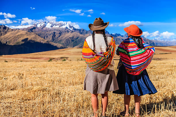
The Sacred Valley of the Incas or Urubamba Valley is a valley in the Andes of Peru, close to the Inca capital of Cusco and below the ancient sacred city of Machu Picchu. The valley is generally understood to include everything between Pisac and Ollantaytambo, parallel to the Urubamba River, or Vilcanota River or Wilcamayu, as this Sacred river is called when passing through the valley. It is fed by numerous rivers which descend through adjoining valleys and gorges, and contains numerous archaeological remains and villages. The valley was appreciated by the Incas due to its special geographical and climatic qualities. It was one of the empire's main points for the extraction of natural wealth, and the best place for maize production in Peru.http://bem.2be.pl/IS/peru_380.jpg
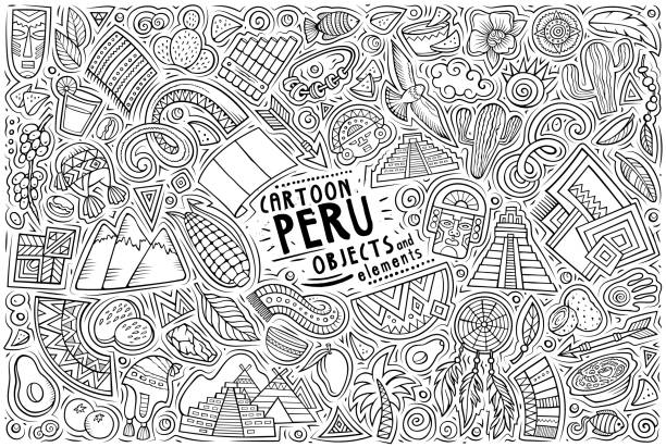
Cartoon vector doodle set of Peruvian traditional symbols, items and objects
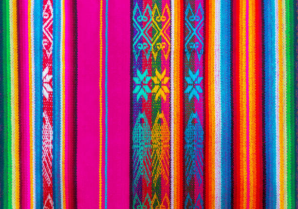
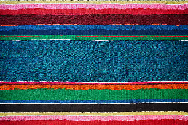
The colorful indigenous or Quechua textiles and fabrics traditional for the Andes mountain range can be found in Peru, Ecuador and Bolivia. Detail of one textile form the local art and craft market of Cusco, Peru.

THIS IS A SOLID RED AZTEC STYLE OR PERUVIAN KNIT PATTERN DESIGN READY TO BE USED FOR MOCK UP SWEATERS OR HATS OR GLOVES OR JACKETS. SEAMLESS AS WILL BE NEEDED.

The Sacred Valley of the Incas or Urubamba Valley is a valley in the Andes of Peru, close to the Inca capital of Cusco and below the ancient sacred city of Machu Picchu. The valley is generally understood to include everything between Pisac and Ollantaytambo, parallel to the Urubamba River, or Vilcanota River or Wilcamayu, as this Sacred river is called when passing through the valley. It is fed by numerous rivers which descend through adjoining valleys and gorges, and contains numerous archaeological remains and villages. The valley was appreciated by the Incas due to its special geographical and climatic qualities. It was one of the empire's main points for the extraction of natural wealth, and the best place for maize production in Peru.http://bem.2be.pl/IS/peru_380.jpg

Red national pattern of bolivian indigenous peoples
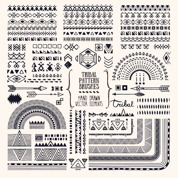
Hand drawn ethnic brushes, patterns, textures. Artistic vector collection of design elements, tribal geometric ornament, aztec style, native americans' fabric. Pattern brushes are included in EPS. Isolated on white background.
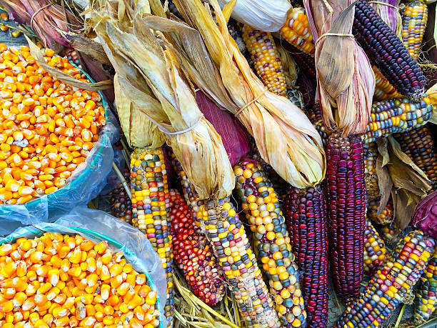
Variety of colorful corn. Autumn market.
Aztec vector elements. Set of ethnic ornaments. Tribal design, geometric symbols for border, frame, tattoo, logo, cards, decorative works. Navajo motifs, isolated on black background. Vector
Aztec tribal mexican seamless pattern. Hipster boho chic background with gradient mesh

Seamless decorative hand drawn pattern. Ethnic endless background with ornamental decorative elements with traditional ethnic motives, tribal geometric figures.

Chivay is a town in the Colca valley, capital of the Caylloma province in the Arequipa region, Peru. Located at about 12,000 ft above sea level, it lies upstream of the renowned Colca Canyon. It has a central town square and an active market. Ten kilometers to the east, and 1,500 meters above the town of Chivay lies the Chivay obsidian source. Thermal springs are located 3 km from town, a number of heated pools have been constructed. A stone "Inca" bridge crosses the Colca River ravine, just to the north of the town. The town is a popular staging point for tourists visiting Condor Cross or Cruz Del Condor, where condors can be seen catching thermal uplifts a few kilometers downstream

Peruvian ceviche and squid chicharron served in a plate

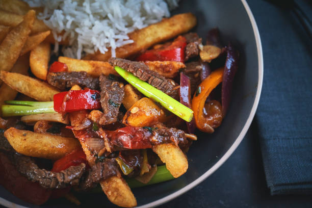
Typical Peruvian food closeup seen from above on dark wooden table.

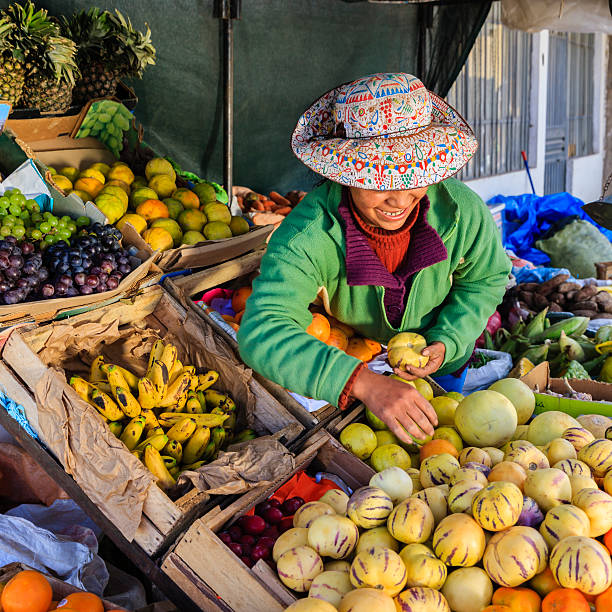
Cusco, Peru - August 08, 2015: People selling and buying fruits at a market in the steets.
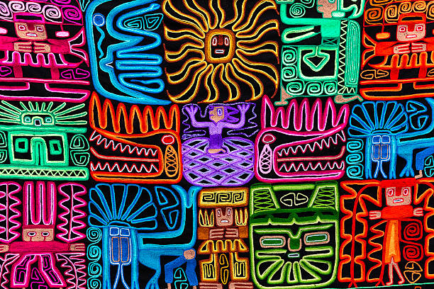
Typical indigenous handcraft in Peru. They are the Inca traditional ornaments.http://bem.2be.pl/IS/bolivia_380.jpg
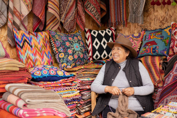
Peruvian woman weaving baby alpaca wool in a handicraft store with ruanas and colorful cushions in the background.
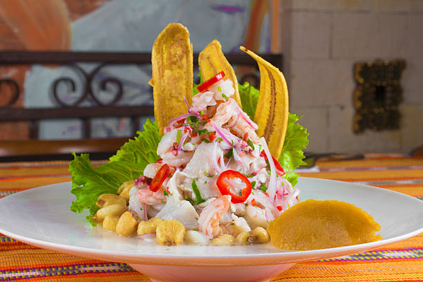
Peruvian Ceviche with banana snacks
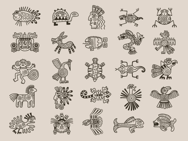
Aztec animals. Mexican tribals symbols maya graphic objects native ethnicity drawings recent vector aztec civilization set of mexican aztec and tribal american illustration
Aztec colorful hand-drawn ornamental card template. American Indian leaflet design. Tribal decorative pattern. Ethnic ornate background. Vintage style flyer. EPS 10 vector brochure set.
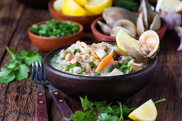
Latin American food. Seafood shellfish ceviche raw cold soup salad of seafood shellfish almejas, lemon, cilantro onion in clay bowl on wooden background. Traditional dish of Peru or Chile
ceviche of white fish with ingredients close-up on the table. horizontal
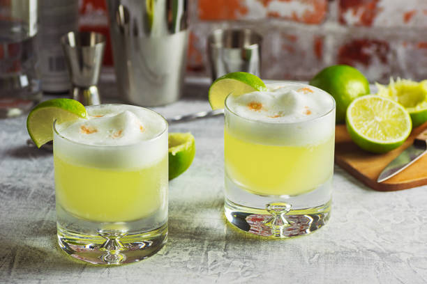
Two rocks glasses filled with pisco sours and garnished with lime wedges on a bar top. This cocktail is made from Peruvian pisco liquor, lime juice, simple syrup, and egg white shaken together and topped with a couple dashes of bitters. The tools and ingredients used to make the drinks are in the background.

embroidered seamless wavy pattern, ornament for home textiles, carpets, pillows, blankets, vector illustration

A close up of a woman weaving in Peru with bright traditional clothes.
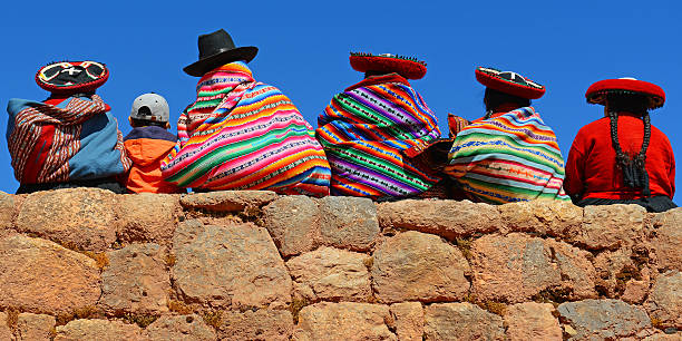
Chincheros, Peru - June 23, 2013: Quechua ladies with colorful textiles and hats sitting on an ancient Inca Wall together with a young boy with modern clothing.
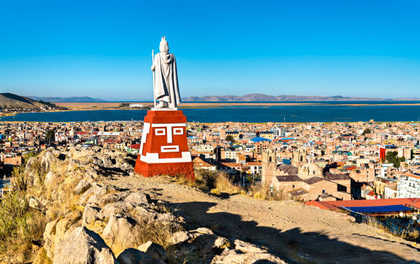
Manco Capac Monument in Puno with views of Lake Titicaca in Peru
Chivay is a town in the Colca valley, capital of the Caylloma province in the Arequipa region, Peru. Located at about 12,000 ft above sea level, it lies upstream of the renowned Colca Canyon. It has a central town square and an active market. Ten kilometers to the east, and 1,500 meters above the town of Chivay lies the Chivay obsidian source. Thermal springs are located 3 km from town, a number of heated pools have been constructed. A stone "Inca" bridge crosses the Colca River ravine, just to the north of the town. The town is a popular staging point for tourists visiting Condor Cross or Cruz Del Condor, where condors can be seen catching thermal uplifts a few kilometers downstream.http://bem.2be.pl/IS/peru_380.jpg
The Sacred Valley of the Incas or Urubamba Valley is a valley in the Andes of Peru, close to the Inca capital of Cusco and below the ancient sacred city of Machu Picchu. The valley is generally understood to include everything between Pisac and Ollantaytambo, parallel to the Urubamba River, or Vilcanota River or Wilcamayu, as this Sacred river is called when passing through the valley. It is fed by numerous rivers which descend through adjoining valleys and gorges, and contains numerous archaeological remains and villages. The valley was appreciated by the Incas due to its special geographical and climatic qualities. It was one of the empire's main points for the extraction of natural wealth, and the best place for maize production in Peru.http://bem.2be.pl/IS/peru_380.jpg
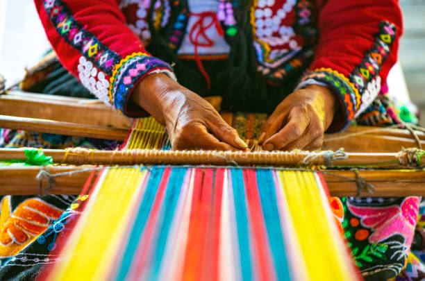
Peruvian indigenous Quechua woman weaving a textile with the traditional techniques in Cusco, Peru.

The Sacred Valley of the Incas or Urubamba Valley is a valley in the Andes of Peru, close to the Inca capital of Cusco and below the ancient sacred city of Machu Picchu. The valley is generally understood to include everything between Pisac and Ollantaytambo, parallel to the Urubamba River, or Vilcanota River or Wilcamayu, as this Sacred river is called when passing through the valley. It is fed by numerous rivers which descend through adjoining valleys and gorges, and contains numerous archaeological remains and villages. The valley was appreciated by the Incas due to its special geographical and climatic qualities. It was one of the empire's main points for the extraction of natural wealth, and the best place for maize production in Peru.
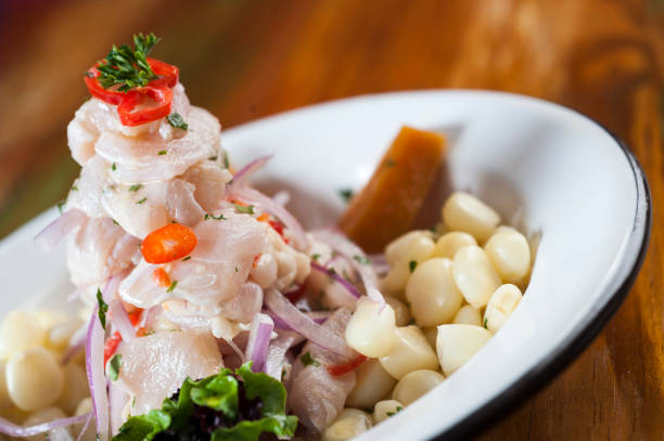
Ceviche, dish symbol of Peruvian gastronomy. On a wooden table.
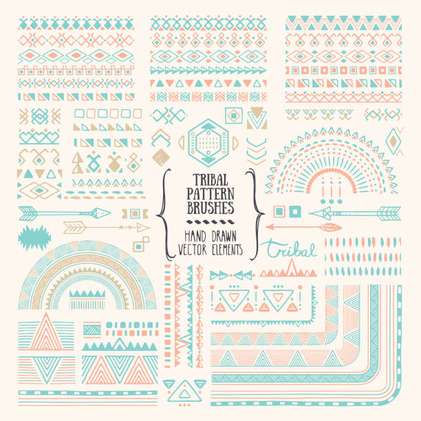
Hand drawn ethnic brushes, patterns, textures. Artistic vector collection of design elements, tribal geometric ornament, aztec style, native americans' fabric. Pattern brushes are included in EPS. Isolated on white background.
"The Sacred Valley of the Incas or Urubamba Valley is a valley in the Andes of Peru, close to the Inca capital of Cusco and below the ancient sacred city of Machu Picchu. The valley is generally understood to include everything between P"
The Sacred Valley of the Incas or Urubamba Valley is a valley in the Andes of Peru, close to the Inca capital of Cusco and below the ancient sacred city of Machu Picchu. The valley is generally understood to include everything between Pisac and Ollantaytambo, parallel to the Urubamba River, or Vilcanota River or Wilcamayu, as this Sacred river is called when passing through the valley. It is fed by numerous rivers which descend through adjoining valleys and gorges, and contains numerous archaeological remains and villages. The valley was appreciated by the Incas due to its special geographical and climatic qualities. It was one of the empire's main points for the extraction of natural wealth, and the best place for maize production in Peru.http://bem.2be.pl/IS/peru_380.jpg

Pieces of fish marinated in lemon juice accompanied by potatoes, onion and accessories
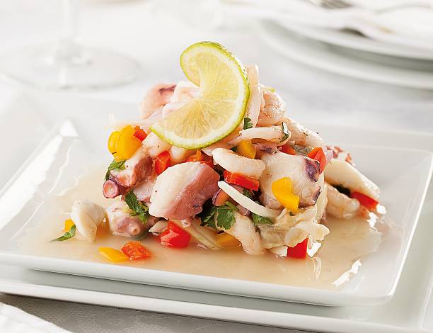
A typical seafood raw fish ceviche from Peru

The Sacred Valley of the Incas or Urubamba Valley is a valley in the Andes of Peru, close to the Inca capital of Cusco and below the ancient sacred city of Machu Picchu. The valley is generally understood to include everything between Pisac and Ollantaytambo, parallel to the Urubamba River, or Vilcanota River or Wilcamayu, as this Sacred river is called when passing through the valley. It is fed by numerous rivers which descend through adjoining valleys and gorges, and contains numerous archaeological remains and villages. The valley was appreciated by the Incas due to its special geographical and climatic qualities. It was one of the empire's main points for the extraction of natural wealth, and the best place for maize production in Peru.http://bhphoto.pl/IS/peru_380.jpg
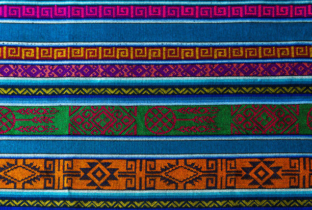
Detail of the typical traditional Andes textiles that can be found in Ecuador, Peru and Bolivia.

Traditional peruvian Dessert: Picarones Made whit Sweet potato and wheat flour. fried an served whit honey figs.

Vector Illustration of Peru Independence Day. National pattern. Banner"r"n
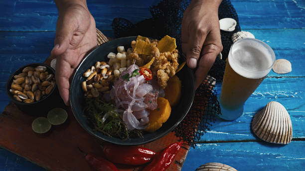
Peruvian ceviche and squid chicharron served in a plate
Uros are a pre-Incan people that live on forty-two self-fashioned floating island in Lake Titicaca Puno, Peru and Bolivia. They form three main groups: Uru-Chipayas, Uru-Muratos and the Uru-Iruitos. The latter are still located on the Bolivian side of Lake Titicaca and Desaguadero River. The Uros use bundles of dried totora reeds to make reed boats (balsas mats), and to make the islands themselves. The Uros islands at 3810 meters above sea level are just five kilometers west from Puno port.http://bem.2be.pl/IS/peru_380.jpg
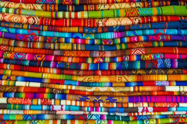
A pile of traditional handmade Andean textiles in the local handicrafts market of Cusco, Peru.
© 2024 iStockphoto LP. The iStock design is a trademark of iStockphoto LP. Browse millions of high-quality stock photos, illustrations, and videos.
Do Not Sell or Share