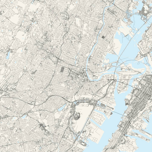
Topographic / Road map of Newark, NJ. Map data is public domain via census.gov. All maps are layered and easy to edit. Roads are editable stroke.
Browse 460+ union county new jersey stock photos and images available, or start a new search to explore more stock photos and images.
Topographic / Road map of Newark, NJ. Map data is public domain via census.gov. All maps are layered and easy to edit. Roads are editable stroke.

Vector Illustration of a City Street Map of Elizabeth, New Jersey, USA. Scale 1:60,000. All source data is in the public domain. U.S. Geological Survey, US Topo Used Layers: USGS The National Map: National Hydrography Dataset (NHD) USGS The National Map: National Transportation Dataset (NTD)

LONDON - May 18, 2022: Blonde female photographer taking photograph of red Double Decker Bus on busy London Street

Elizabeth: Industrial factory complex in New Jersey with cityscape skyline of Manhattan, NYC, New York City

Elizabeth, NJ/US- 10/6/2020: The architecturally superior and modern version of the Goethals bridge opened in 2017 and replaces the original version erected in 1928. The Goethals bridge new and old connects Elizabeth, New Jersey to Staten Island, New York.

Holmdel, New Jersey - September 18, 2005: Motorcycles ride along the Garden State Parkway during the Rolling Thunder Ride for Freedom

Central Railroad of New Jersey Terminal and Hudson River. View from Manhattan, New York of USA. Skyline and cityscape with skyscrapers at United States of America, NYC, US. American architecture.

LONDON - May 18, 2022: Chauffeur driven Classic Rolls Royce with English flag passes Horse Guards Parade carrying well dressed passengers

Scotch Plains, New Jersey / USA - January 21, 2020: Useful information at the entrance of the park to protect it.

Variation of Cargo containers at the port of New Jersey, photographed from above, on 12/18/21

Places and objects likely to be found while walking around the area.

Rahway, NJ - Aug 25, 2024: Facade entrance to Union County Performing Arts Center (UCPAC) theater in Rahway New Jersey.

Cartoon Map of New Jersey https://maps.lib.utexas.edu/maps/united_states/fed_lands_2003/new_jersey_2003.pdf

Cartoon Map of New Jersey https://maps.lib.utexas.edu/maps/united_states/fed_lands_2003/new_jersey_2003.pdf

Highly detailed downloadable map of New Jersey state of United States of America for web banner, mobile, smartphone, iPhone, iPad applications and educational use. The map is accurately prepared by a map expert.

Dark fabric material, synthetic fiber texture, selective focus, dark background, close-up

Rahway, NJ - Aug 25, 2024: Rahway train station sign on North Jersey Coast Line NJT.

Rahway, NJ - Aug 25, 2024: Rahway train station sign on North Jersey Coast Line NJT.

A road sign that says "Moving to New Jersey."

A neon sign that says "New Jersey Vacation."

Accurate outline vector map in gray background prepared by a map expert.

Cartoon Map of New Jersey https://maps.lib.utexas.edu/maps/united_states/fed_lands_2003/new_jersey_2003.pdf

Rahway, NJ - Aug 25, 2024: Facade entrance to Union County Performing Arts Center (UCPAC) theater in Rahway New Jersey.

Elizabeth, New Jersey, USA - Aerial view of the streets of Elizabeth, New Jersey in Essex County

Printable counties map of New Jersey state of United States of America. The map is accurately prepared by a map expert.

Rahway, New Jersey - April 28, 2017: Details of an angel statue atop a grave at Rahway Cemetery

Rahway, New Jersey - April 28, 2017: A view of the ornate Oliver family mausoleum in Rahway Cemetery

Close up on an antique map of the county of Union, state of New Jersey. Published in 1884; Rand McNally and Co; Chicago. Selective focus and Canon EOS 5D Mark II with MP-E 65mm macro lens.

Places and objects likely to be found while walking around the area.

Scotch Plains, New Jersey / USA - January 21, 2020: Useful information at the entrance of the park to protect it.

Rahway, NJ - Aug 25, 2024: Rahway train station sign on North Jersey Coast Line NJT.

Rahway, NJ - Aug 25, 2024: Rahway train station sign on North Jersey Coast Line NJT.

Fabric membrane synthetic waterproof membrane macro close-up

Fabric membrane synthetic waterproof membrane macro close-up

Factory textile fabric material surface white colored background with thread close-up

Factory textile fabric material surface white colored background with thread close-up

Fabric membrane synthetic waterproof membrane macro close-up

Places and objects likely to be found while walking around the area.


