Vector flag of Peru. Proportion 2:3. Peruvian national bicolor flag. Vector EPS 10
Browse 17,100+ peru stock illustrations and vector graphics available royalty-free, or search for machu picchu or lima peru to find more great stock images and vector art.
Vector flag of Peru. Proportion 2:3. Peruvian national bicolor flag. Vector EPS 10

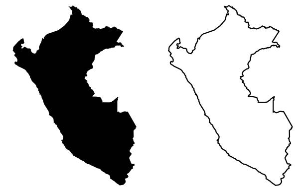
A graphic illustrated vector image showing the outline of the country Peru. The outline of the country is filled with a dark navy blue colour and is on a plain white background. The border of the country is a detailed path.
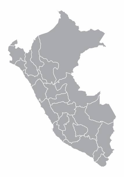
A gray map of Peru divided into provinces
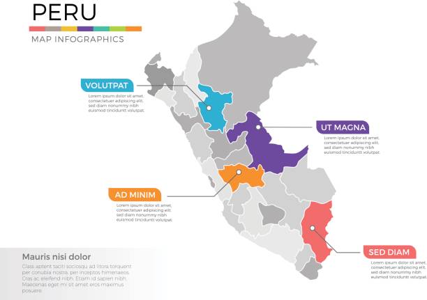
Stylized Peru map with isolated vector elements.
Set of vector icons with Peru flag
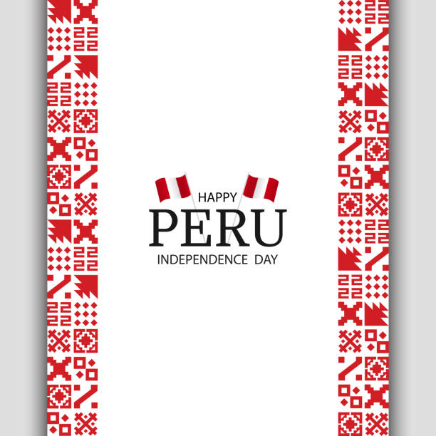
Vector Illustration of Peru Independence Day. National pattern.

Peru Independence Day. Set of national pattern banners. Vector Illustration.
Vector of nice Peruviana flag.
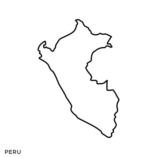
Peru Outline Map Vector Stock Illustration Design Template. Editable Stroke. Vector eps 10.
Vector folk seamless Aztec ornament, ethnic pattern

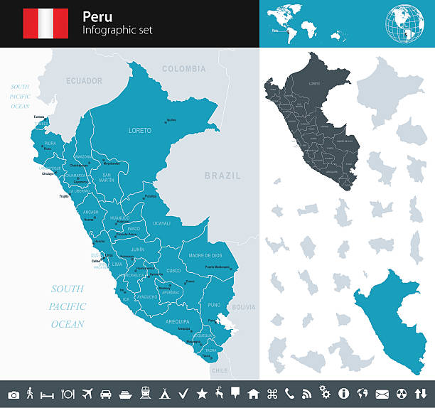
Political map of Peru with capital Lima, national borders, most important cities, rivers and lakes. Vector illustration with English labeling and scaling.

Peruvian flag wavy abstract background layout. Vector illustration.
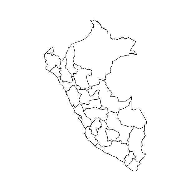
Doodle Map of Peru With States, can be used for business designs, presentation designs or any suitable designs.

Highly detailed physical map of the Peru,in vector format,with all the relief forms,regions and big cities.

Peru map geometric mesh polygonal light. Business wireframe mesh spheres from flying debris blue structure style. Vector illustration EPS10

Tourist map of Peru with different landmarks.

Cartoon map of Peru. Vector illustration with all main symbols of the country.
Ethnic seamless pattern. Aztec colorful striped background. Tribal, ethnic, navajo print. Modern abstract wallpaper. Vector illustration.

Peru map dotted vector background. Illustration for technology design or infographics. Isolated on white background. Travel vector illustration
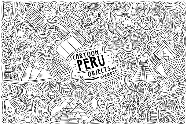
Cartoon vector doodle set of Peruvian traditional symbols, items and objects
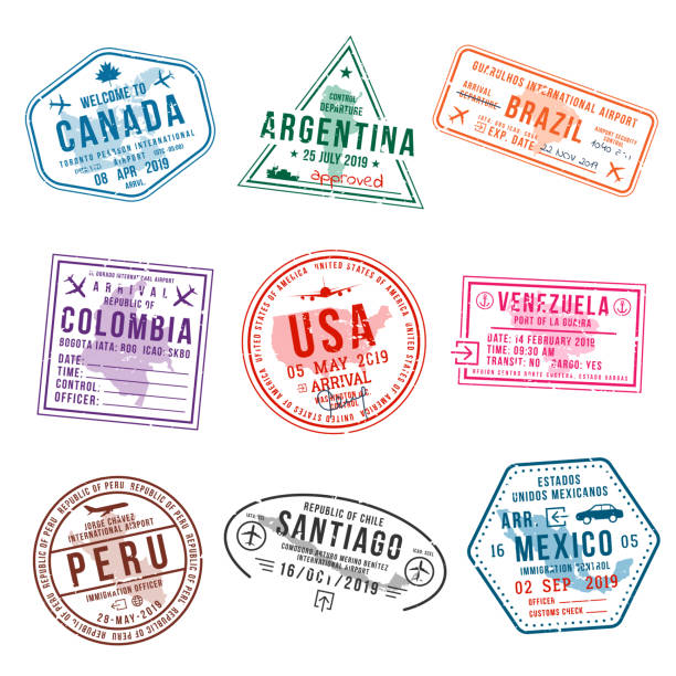
Set of travel visa stamps for passports. International and immigration office stamps. Arrival and departure visa stamps to American countries - USA, Canada, Brazil, Mexico. Vector
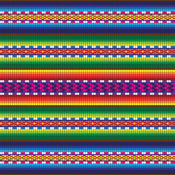
A typical Peruvian/Bolivian style piece of fabric woven out of brightly coloured threads. Pattern is seamless and can be tiled horizontally.
Aztec tribal mexican seamless pattern. Hipster boho chic background with gradient mesh
A set of Peruvian related icons. See below for more travel images and many more country icon sets. If you can't see the country or city you require, message me as I take requests.
Vector Illustration of regional maps with isolated colors for education, info-graphics and data purpose

Travel stamps or symbols set Peru, South America theme, vector illustration

South America, gray political map with international borders and capitals. A continent, bordered by the Pacific and Atlantic Ocean, North America and the Caribbean Sea. Isolated illustration. Vector.
Aztec vector elements. Set of ethnic ornaments. Tribal design, geometric symbols for border, frame, tattoo, logo, cards, decorative works. Navajo motifs, isolated on black background. Vector
Vector maps of Peru with variable specification and icons

Peru, country, flag, culture, background
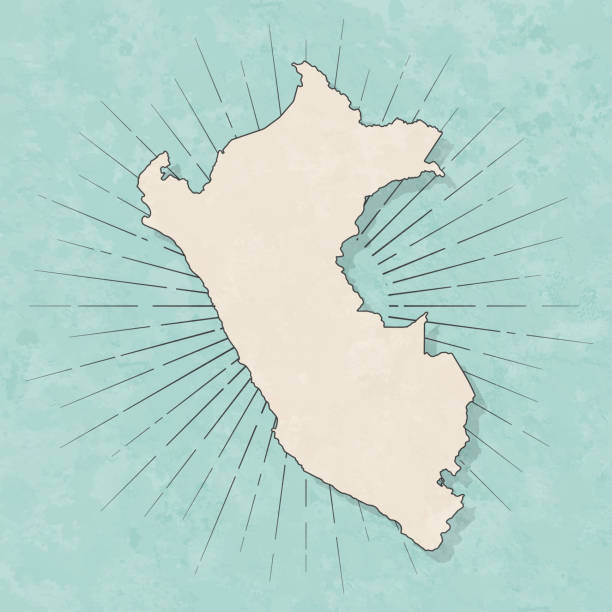
Map of Peru in a trendy vintage style. Beautiful retro illustration with old textured paper and light rays in the background (colors used: blue, green, beige and black for the outline). Vector Illustration (EPS10, well layered and grouped). Easy to edit, manipulate, resize or colorize.

Abstract image Peru map from point blue and glowing stars on a dark background. vector illustration.
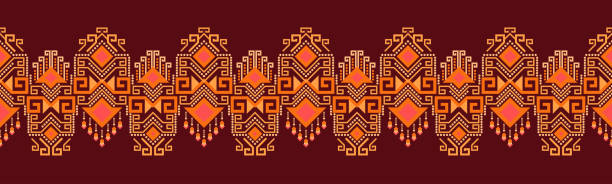
Ethnic pattern geometric design folklore ornament. Tribal ethnic vector texture. Seamless striped pattern in Aztec style. Figure tribal embroidery. Indian EP.53.background color can be changedDesign

Flag of Peru. Vector illustration on white background. Beautiful brush strokes. Abstract concept. Elements for design."n

3d map of Peru with borders of regions

Peruvian Fiestas Patrias Realistic Original Collection

Peru, country, flag, vector, icon
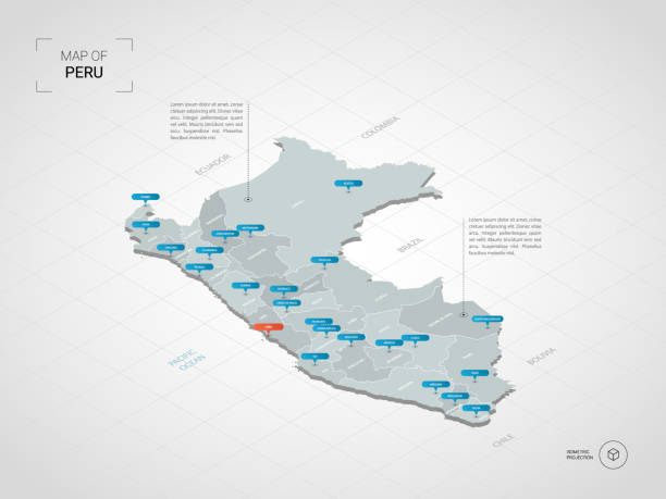
Isometric 3D Peru map. Stylized vector map illustration with cities, borders, capital, administrative divisions and pointer marks; gradient background with grid.

Peru vector map. Editable template with regions, cities, red pins and blue surface on white background.

Hand drawn illustration

Realistic waving flags of South America continent. Argentina, Bolivia, Brazil, Chile, Colombia, Peru, Uruguay 3d flag on flagpole. Patriotic symbols vector illustration. National countries identity
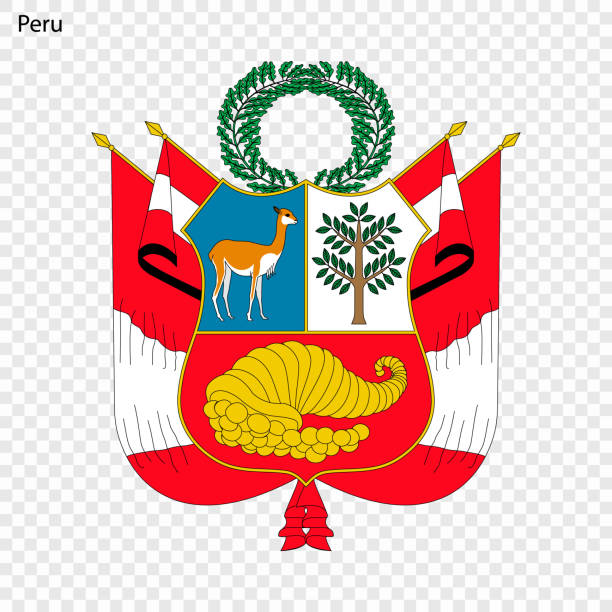
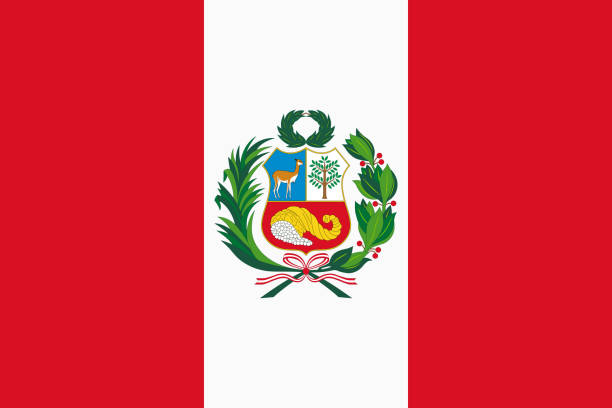
Emblem of Peru. National Symbol

Peru - - Detailed Map with Regions and Cities. Set of Flags, Globe, Country Outline, Country Location on World Map.

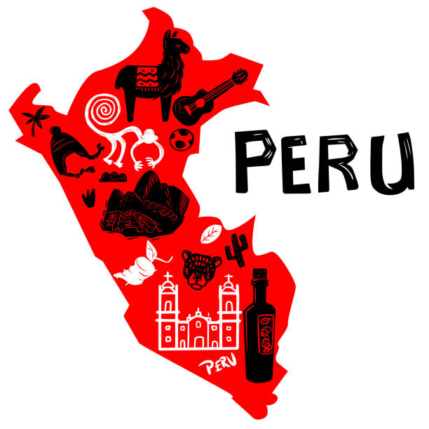
Illustrated colorful map of Peru with famous symbols of the country.

Come on Peru! Red festive background with national flags and confetti. Vector paper illustration.