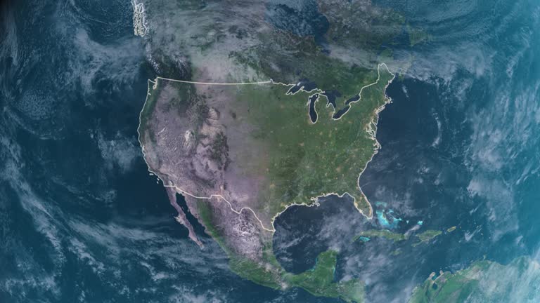
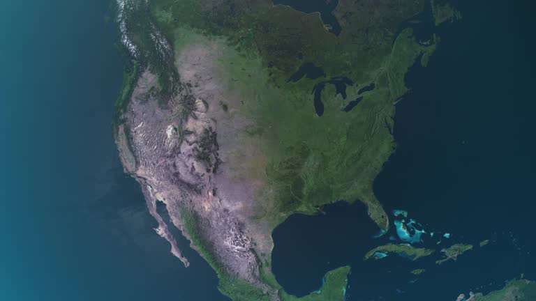
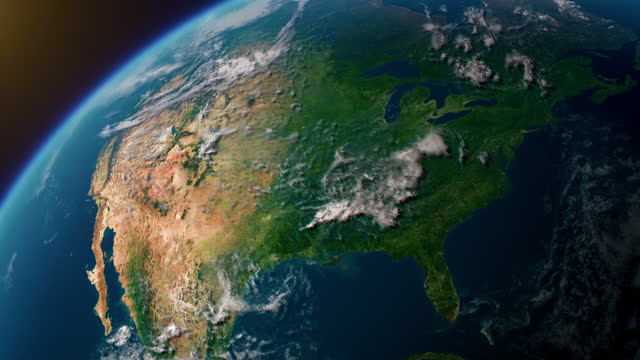
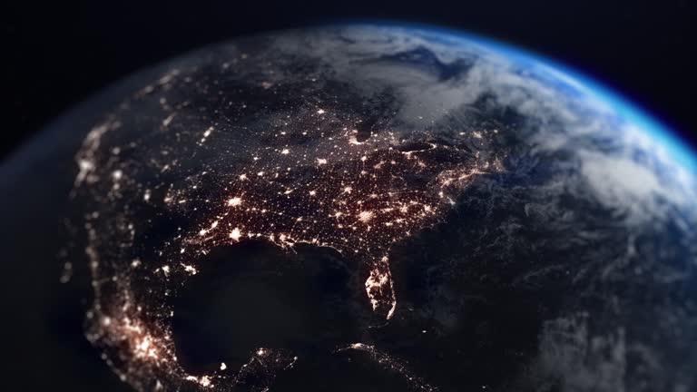
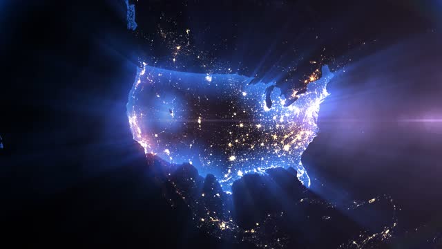
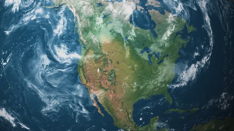
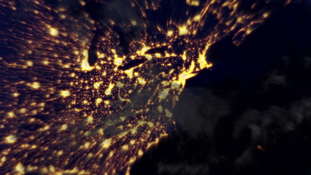
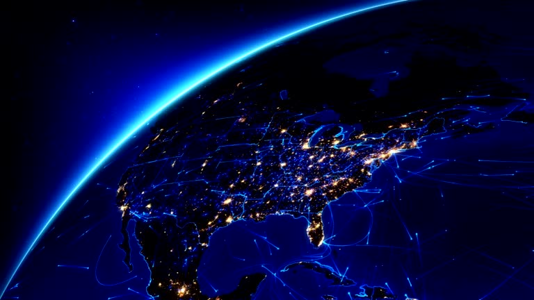
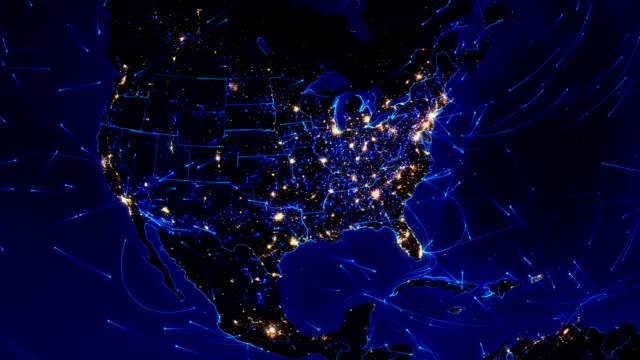
North America Map stock videos and footage

Browse 27,700+ north america map stock videos and clips available to use in your projects, or search for north america and canada map or world map to find more stock footage and b-roll video clips.

Most popular
video thumbnail
Planet Earth At Night - North America Seen From Space - United States Of America The United States Of America and surrounding areas seen from space. Perfectly usable for topics like global business or American economy and culture. High quality 3D rendered video made from ultra high res 20k textures by NASA: https://visibleearth.nasa.gov/images/55167/earths-city-lights, https://visibleearth.nasa.gov/images/73934/topography, https://visibleearth.nasa.gov/images/57747/blue-marble-clouds/77558l north america map stock videos & royalty-free footage
00:20

The United States Of America and surrounding areas seen from space. Perfectly usable for topics like global business or American economy and culture. High quality 3D rendered video made from ultra high res 20k textures by NASA: https://visibleearth.nasa.gov/images/55167/earths-city-lights, https://visibleearth.nasa.gov/images/73934/topography, https://visibleearth.nasa.gov/images/57747/blue-marble-clouds/77558l

video thumbnail
Night flight from New York to orbit the Earth. Loopable. A flight from New York City at night up to the Earth orbit, rounding the Earth and flying back to New York. Loops seamlessly. Earth map based on images courtesy of: NASA http://www.nasa.gov, and Image Science and Analysis Laboratory, NASA-Johnson Space Center. "The Gateway to Astronaut Photography of Earth.": http://eol.jsc.nasa.gov. north america map stock videos & royalty-free footage
00:30

A flight from New York City at night up to the Earth orbit, rounding the Earth and flying back to New York. Loops seamlessly. Earth map based on images courtesy of: NASA http://www.nasa.gov, and Image Science and Analysis Laboratory, NASA-Johnson Space Center. "The Gateway to Astronaut Photography of Earth.": http://eol.jsc.nasa.gov.

video thumbnail
Satellite Internet and 5G network. Loopable. 5G technologies and satellite Internet provide communication throughout the Earth. Simulations show a constellation of 1578 satellites at an altitude of 550 km from the first phase of the Starlink project. A flight from Lower Manhattan at night up to the Earth orbit, rounding the Earth and flying back to New York. Loops seamlessly. Earth map based on images courtesy of: NASA http://www.nasa.gov, and Image Science and Analysis Laboratory, NASA-Johnson Space Center. "The Gateway to Astronaut Photography of Earth.": http://eol.jsc.nasa.gov. north america map stock videos & royalty-free footage
00:37

5G technologies and satellite Internet provide communication throughout the Earth. Simulations show a constellation of 1578 satellites at an altitude of 550 km from the first phase of the Starlink project. A flight from Lower Manhattan at night up to the Earth orbit, rounding the Earth and flying back to New York. Loops seamlessly. Earth map based on images courtesy of: NASA http://www.nasa.gov, and Image Science and Analysis Laboratory, NASA-Johnson Space Center. "The Gateway to Astronaut Photography of Earth.": http://eol.jsc.nasa.gov.

video thumbnail
Digital Stylised World Map Country Zoom Canada Ideal for documentaries, travel programs, and news segments, our animation is designed for content creators seeking to engage and inform their viewers with visually stunning geographic insights. Whether you're a filmmaker, journalist, or travel vlogger, our motion graphics will breathe life into your storytelling, delivering a fresh perspective on the world. north america map stock videos & royalty-free footage
00:14

Ideal for documentaries, travel programs, and news segments, our animation is designed for content creators seeking to engage and inform their viewers with visually stunning geographic insights. Whether you're a filmmaker, journalist, or travel vlogger, our motion graphics will breathe life into your storytelling, delivering a fresh perspective on the world.

of 100
Next