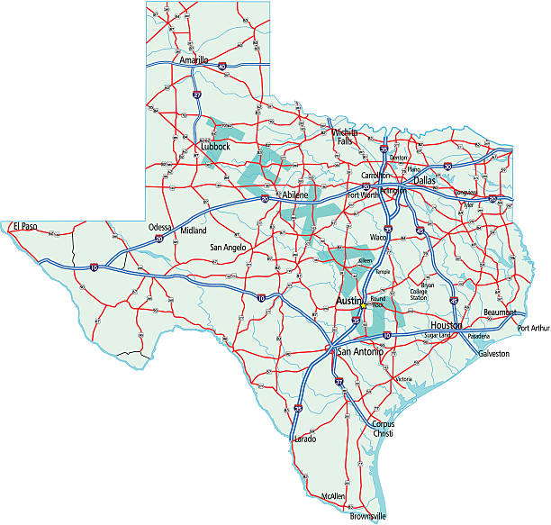
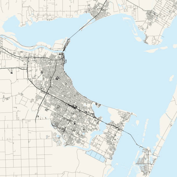
Corpus Christi TX City Vector Road Map Blue Text. All source data is in the public domain. U.S. Census Bureau Census Tiger. Used Layers: areawater, linearwater, roads.
Browse 60+ corpus christi map stock illustrations and vector graphics available royalty-free, or start a new search to explore more great stock images and vector art.
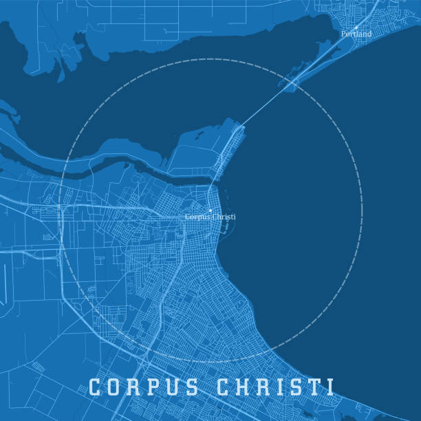
Corpus Christi TX City Vector Road Map Blue Text. All source data is in the public domain. U.S. Census Bureau Census Tiger. Used Layers: areawater, linearwater, roads.
Topographic / Road map of Corpus Christi, Texas, USA. Map data is open data via openstreetmap contributors. All maps are layered and easy to edit. Roads are editable stroke.
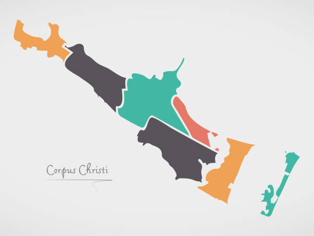
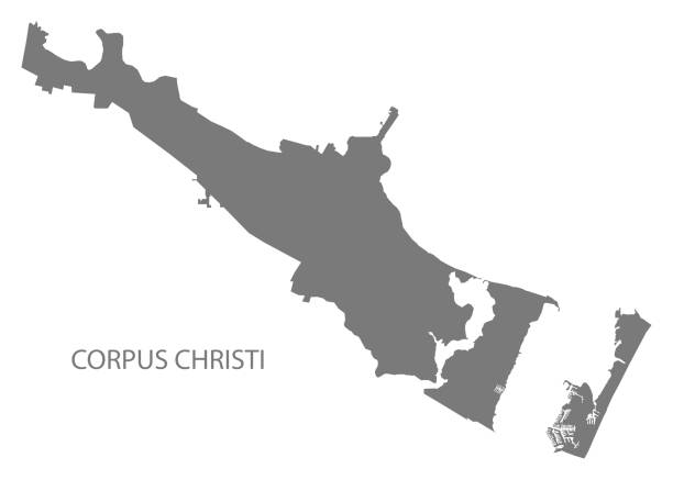
Corpus Christi City (United States cities, United States of America, usa city) map vector illustration, scribble sketch City of Corpus Christi map
The map is accurately prepared by a map expert.
All counties have separate and accurate borders that can be selected and easily edited.
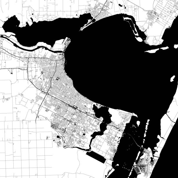
Topographic / Road map of Corpus Christi, Texas, USA. Map data is open data via openstreetmap contributors. All maps are layered and easy to edit. Roads are editable stroke.
The maps are accurately prepared by a GIS and remote sensing expert.
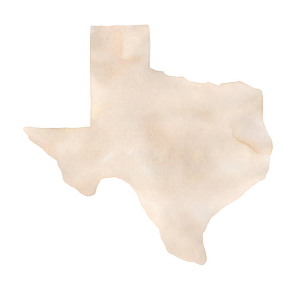
One single object, blank shape. Hand painted sketchy drawing on white, cut out clip art element for design, card, banner.
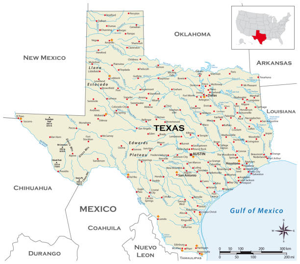
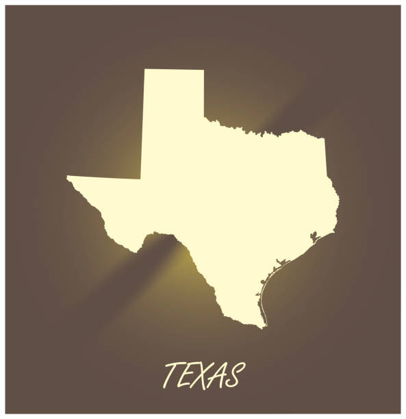
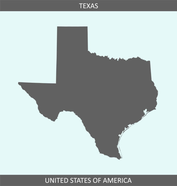
Downloadable outline vector map of Texas state of United States of America. The map is accurately prepared by a map expert.
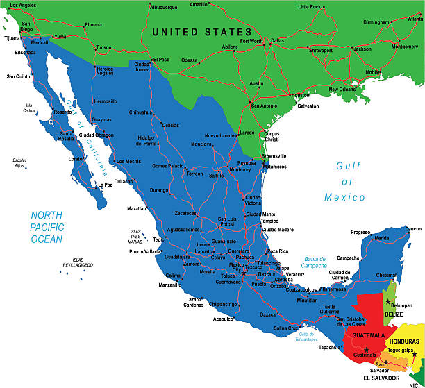
Detailed map of Mexico.

Texas US State Vector Road Map Grey. All source data is in the public domain. Roads, Water, Regions, Urban Areas: Made with Natural Earth. https://www.naturalearthdata.com/downloads/10m-physical-vectors/ https://www.naturalearthdata.com/downloads/10m-cultural-vectors/
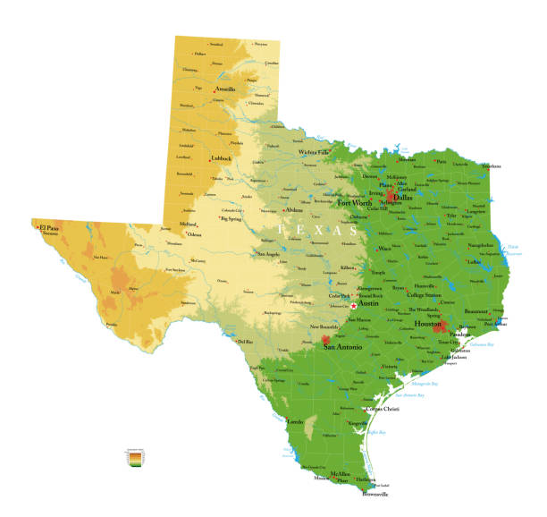
Highly detailed physical map of the Texas, in vector format,with all the relief forms,regions and big cities.
Gold texas state map icon vector illustration
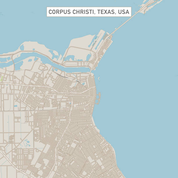
Vector Illustration of a City Street Map of Corpus Christi, Texas, USA. Scale 1:60,000. All source data is in the public domain. U.S. Geological Survey, US Topo Used Layers: USGS The National Map: National Hydrography Dataset (NHD) USGS The National Map: National Transportation Dataset (NTD)

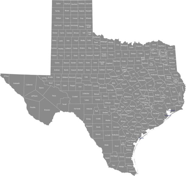
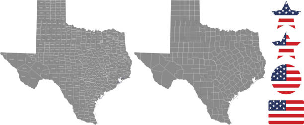
Highly detailed map of Texas counties state of United States of America for web banner, mobile app, and educational use. The map is accurately prepared by a map expert.
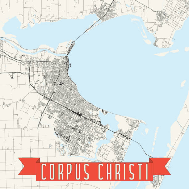
Topographic / Road map of Corpus Christi, Texas, USA. Map data is open data via openstreetmap contributors. All maps are layered and easy to edit. Roads are editable stroke.

Corpus Christi TX City Vector Road Map Blue Horizontal. All source data is in the public domain. U.S. Census Bureau Census Tiger. Used Layers: areawater, linearwater, roads.

Map of Nueces County - Texas, on two blue and red rubber stamps. Two versions included in the bundle: - One blue stamp with the map in the middle and the word "Democrat" around. - One red stamp with the map in the middle and the word "Republican" around. And also two blue and red banners with the name of the county. Vector Illustration (EPS file, well layered and grouped). Easy to edit, manipulate, resize or colorize. Vector and Jpeg file of different sizes.
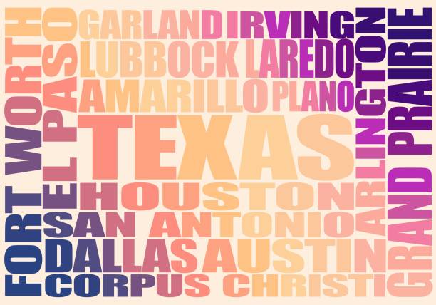
Image relative to USA travel. Texas cities and places names cloud.

Hurricane Bret 1999 Track North Atlantic Ocean Infographic. Map projection: World Miller Cylindrical. All source data is in the public domain. NOAA's International Best Track Archive for Climate Stewardship (IBTrACS) data. Countries and Boundaries: Made with Natural Earth.

Map of Nueces County - Texas, with a large group of people. The faces are blue and red and represent patriots. The color blue for the Democratic Party and the color red for the Republican Party. Conceptual creative map, can symbolize the unity, cooperation, teamwork, patriotism... Vector Illustration (EPS file, well layered and grouped). Easy to edit, manipulate, resize or colorize. Vector and Jpeg file of different sizes.

Maps of Nueces County - Texas, on blue and red backgrounds. Four map versions included in the bundle: - One map on a blank blue background. - One map on a blue background with the word "Democrat". - One map on a blank red background. - One map on a red background with the word "Republican". Vector Illustration (EPS file, well layered and grouped). Easy to edit, manipulate, resize or colorize. Vector and Jpeg file of different sizes.
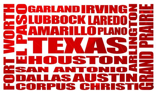
Image relative to USA travel. Texas cities and places names cloud.
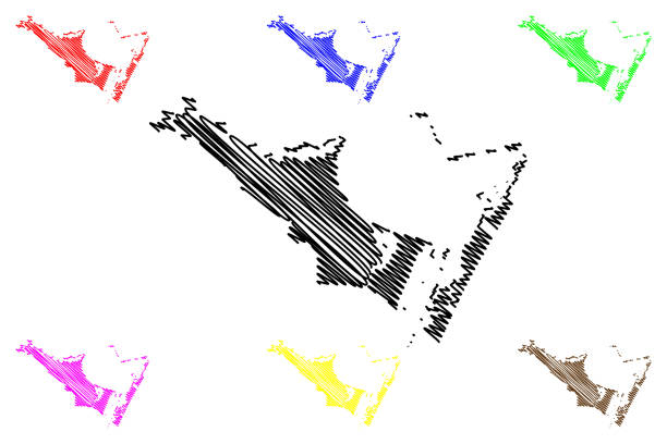
Corpus Christi City (United States cities, United States of America, usa city) map vector illustration, scribble sketch City of Corpus Christi map

Corpus Christi City (United States cities, United States of America, usa city) map vector illustration, scribble sketch City of Corpus Christi map

Map of Nueces County - Texas, on a blue and red colored background. The blue color represents the Democratic Party and the red color represents the Republican Party. White stars are placed above and below the map. Vector Illustration (EPS file, well layered and grouped). Easy to edit, manipulate, resize or colorize. Vector and Jpeg file of different sizes.

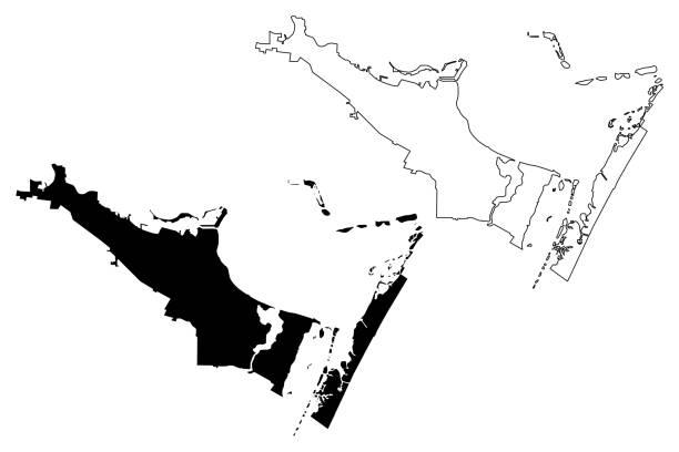
3D Map of Nueces County - Texas, isolated on a blank and gray background, with a dropshadow. Vector Illustration (EPS file, well layered and grouped). Easy to edit, manipulate, resize or colorize. Vector and Jpeg file of different sizes.
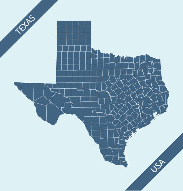
Highly detailed county map of Texas state of United States of America for web banner, mobile app, and educational use. The map is accurately prepared by a map expert.

Map of Nueces County - Texas, isolated on a blank background and with his name on a red ribbon. Vector Illustration (EPS file, well layered and grouped). Easy to edit, manipulate, resize or colorize. Vector and Jpeg file of different sizes.

Map of Nueces County - Texas, in a trendy vintage style. Beautiful retro illustration with old textured paper and light rays in the background (colors used: blue, green, beige and black for the outline). Vector Illustration (EPS file, well layered and grouped). Easy to edit, manipulate, resize or colorize. Vector and Jpeg file of different sizes.
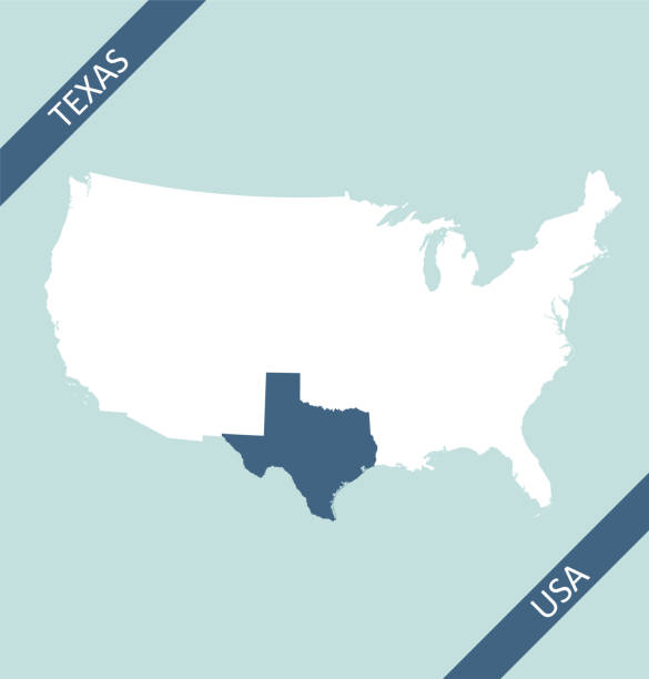
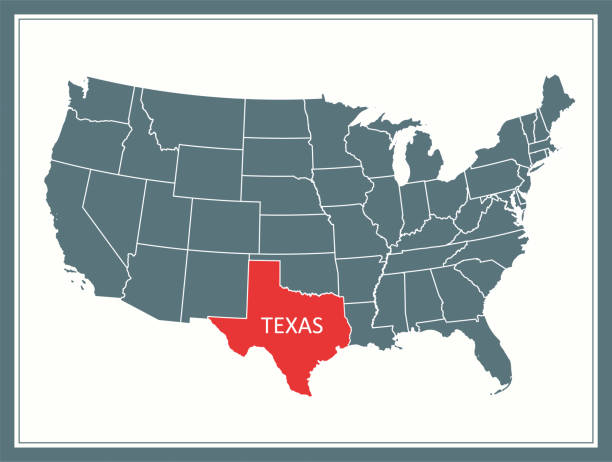
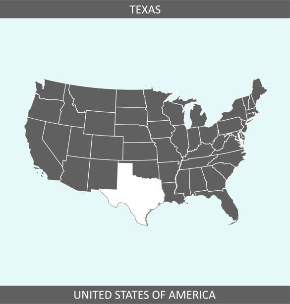
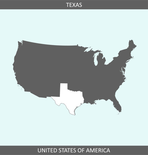
Highly detailed map of United States of America with highlighted state of Texas for web banner, mobile app, and educational use. The map is accurately prepared by a map expert.

Highly detailed map of Texas state of United States of America for web banner, mobile app, and educational use. The map is accurately prepared by a map expert.
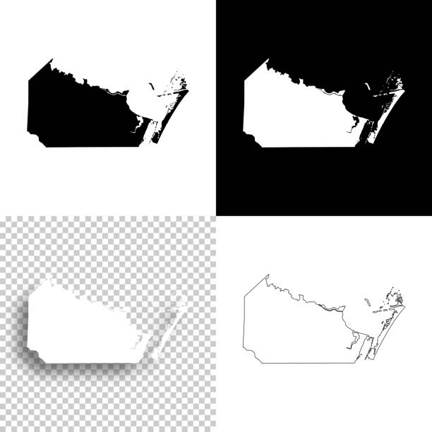
Map of Nueces County - Texas, for your own design. Four maps with editable stroke included in the bundle: - One black map on a white background. - One blank map on a black background. - One white map with shadow on a blank background (for easy change background or texture). - One line map with only a thin black outline (in a line art style). The layers are named to facilitate your customization. Vector Illustration (EPS file, well layered and grouped). Easy to edit, manipulate, resize or colorize. Vector and Jpeg file of different sizes.

Map of Nueces County - Texas, with a realistic paper cut effect isolated on white background. Trendy paper cutout effect. Vector Illustration (EPS file, well layered and grouped). Easy to edit, manipulate, resize or colorize. Vector and Jpeg file of different sizes.
The map is accurately prepared by a map expert.
The map is accurately prepared by a map expert.

Image relative to USA travel. Texas cities and places names cloud.

Corpus Christi city (United States of America, USA, U.S., US, United States cities, usa city)- map is designed cannabis leaf green, City of Corpus Christi map made of marijuana (marihuana,THC) foliage

Highly detailed map of United States of America with highlighted state of Texas for web banner, mobile app, and educational use. The map is accurately prepared by a map expert.

Hurricane Hanna 2020 Track Gulf Of Mexico Infographic. Map projection: World Miller Cylindrical. All source data is in the public domain. NOAA's International Best Track Archive for Climate Stewardship (IBTrACS) data. Countries and Boundaries: Made with Natural Earth.