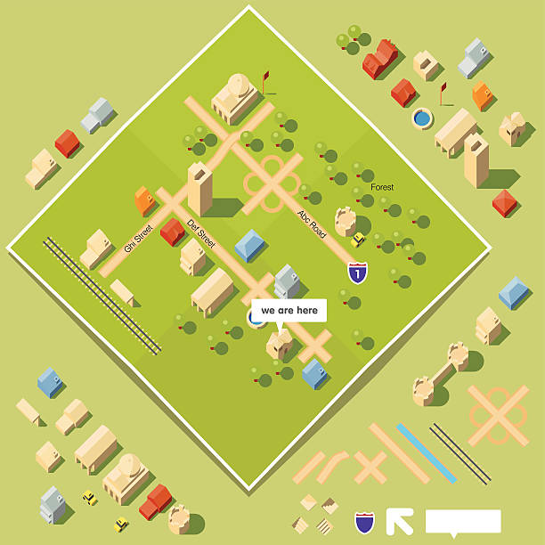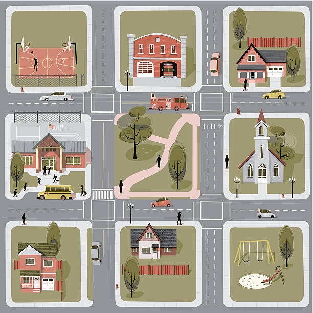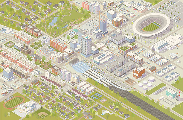
Isometric city vector illustration shows detailed suburbs, downtown, industrial area, and residential neighborhoods. Hundreds of buildings are illustrated in different styles, serving cultural, government, commercial, industrial, and residential needs. A railroad terminal leads into the city center, and a sports stadium has been built nearby. Trees, parks, cars and trucks complete this detailed cityscape, shown in aerial view.