Light topographic map of the Federal State of Colorado, USA with black contour lines on beige background
Browse 160+ colorado topographic map stock illustrations and vector graphics available royalty-free, or search for colorado map to find more great stock images and vector art.
Light topographic map of the Federal State of Colorado, USA with black contour lines on beige background

United States of America, States on the Mississippi river. Lithograph, published in 1878.

Colorado, USA - vintage vector map isolated on brown background. Sepia map, outline style. Vector illustration. Vector template for website, design, cover, infographics.

Topographic military radar tactical map of the Federal State of Colorado, USA with emerald green contour lines on dark green background

Colorado, USA - high detailed physical map. Vector map. Dem map. Vector template for website, design, cover, infographics. Vector illustration.

Topographic / Road map of Fort Collins, Colorado, USA. Map data is open data via openstreetmap contributors. All maps are layered and easy to edit. Roads are editable stroke.

Topographic / Road map of Fort Collins, Colorado, USA. Map data is open data via openstreetmap contributors. All maps are layered and easy to edit. Roads are editable stroke.

Pastel vector map of the Federal State of Colorado, USA with black borders and names of its counties
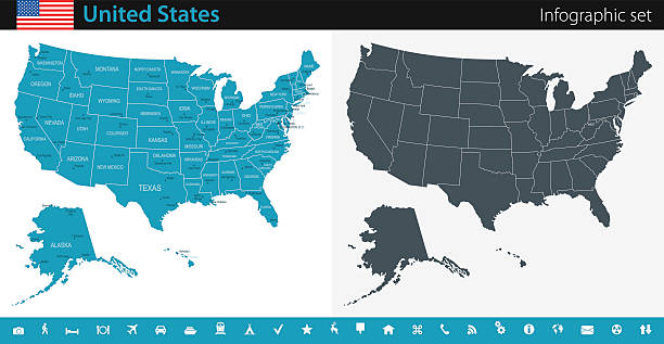
Vector maps of the United States with variable specification and icons

Official current vector great seal of the Federal State of Colorado, USA

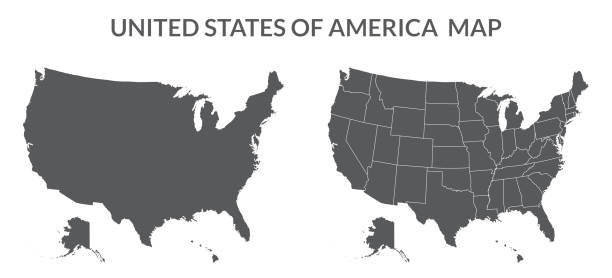
USA map with states, United States of America map. Isolated map of 50 states of USA.

Empty Blue Map of the United States

Black highlighted location map of the US Otero county inside gray map of the Federal State of Colorado, USA

Simple flat flag map of the Federal State of Colorado, USA

White vector map of the Federal State of Colorado, USA with black borders and names of its counties
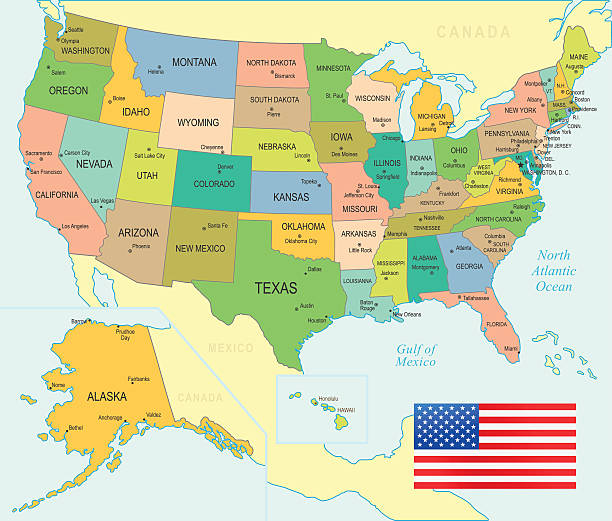
Colored Map of the United States

Colorado, USA - vintage vector map isolated on black background. Sepia map, outline style. Vector illustration. Vector template for website, design, cover, infographics.

Topographic / Road map of Fort Collins, Colorado, USA. Map data is open data via openstreetmap contributors. All maps are layered and easy to edit. Roads are editable stroke.

Black highlighted location map of the US Garfield county inside gray map of the Federal State of Colorado, USA

Black highlighted location map of the US Park county inside gray map of the Federal State of Colorado, USA

Topographic / Road map of Fort Collins, Colorado, USA. Map data is open data via openstreetmap contributors. All maps are layered and easy to edit. Roads are editable stroke.
United States - Blue Map and Navigation Icons

Black United States Map - illustration

Black Map of the United States - illustration

Topographic / Road map of Fort Collins, Colorado, USA. Map data is open data via openstreetmap contributors. All maps are layered and easy to edit. Roads are editable stroke.

Topographic / Road map of Fort Collins, Colorado, USA. Map data is open data via openstreetmap contributors. All maps are layered and easy to edit. Roads are editable stroke.

USA flag, United State of America flag in circle

Topographic / Road map of Fort Collins, Colorado, USA. Map data is open data via openstreetmap contributors. All maps are layered and easy to edit. Roads are editable stroke.

USA map, America map, United States of America map isolated on dark blue color

USA map, America map, United States of America map isolated on grey color

USA map, America map, United States of America map isolated on black color

USA flag map. United States of America map with flag inside.

USA map, America map, United States of America map isolated on white color

USA map, America map, United States of America map isolated on blue color
© 2025 iStockphoto LP. The iStock design is a trademark of iStockphoto LP. Browse millions of high-quality stock photos, illustrations, and videos.
Do Not Sell or Share