
Illustrations
Connecticut stock illustrations
Browse 4,700+ connecticut stock illustrations and vector graphics available royalty-free, or search for hartford connecticut or connecticut map to find more great stock images and vector art.
hartford connecticut
connecticut map
connecticut flag
connecticut coast
delaware
stamford connecticut
greenwich connecticut
bridgeport connecticut
fairfield connecticut
mystic connecticut
connecticut river
norwalk connecticut
connecticut home
westport connecticut
connecticut house
connecticut landscape
danbury connecticut
connecticut skyline
connecticut beach
connecticut capitol
litchfield connecticut
waterbury connecticut
madison connecticut
connecticut sun
connecticut lighthouse
stonington connecticut
connecticut coronavirus
connecticut winter
connecticut summer
connecticut people
Most popular
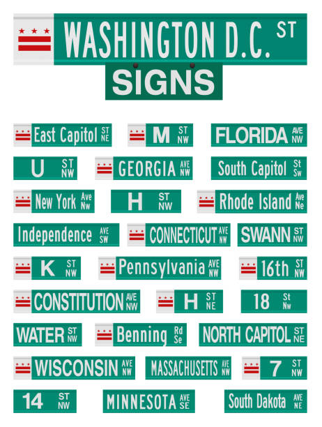
Vector illustration of the famous Washington D.C. streets and avenues road signs

Medical Clinic Flat Landing Page Offer X-Ray Test. Online Fixing Appointment. Cartoon Doctor Examining Patient on Radiological Equipment. Radiology Room Interior Design. Vector Illustration

Connecticut American interstate highway road shield isolated on a white background.
Vector illustration of a Connecticut map ballot box on a red circle background.


Vintage engraving of Yale College, an undergraduate liberal arts college of Yale University. Founded in 1701, it is the original school of the university.
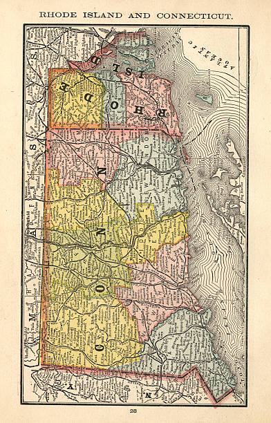
"Antique map of the state of Rhode Island and Connecticut, USA. Published in 1884, Rand McNally and Co, Chicago. CLICK ON THE LINKS BELOW FOR HUNDREDS OF SIMILAR IMAGES:"

Map of Fairfield County - Connecticut, with a large group of people. The faces are blue and red and represent patriots. The color blue for the Democratic Party and the color red for the Republican Party. Conceptual creative map, can symbolize the unity, cooperation, teamwork, patriotism... Vector Illustration (EPS file, well layered and grouped). Easy to edit, manipulate, resize or colorize. Vector and Jpeg file of different sizes.
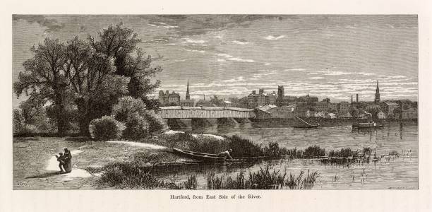
You're looking at a beautifully detailed engraved illustration from the 'Picturesque America' series. Published by D. Appleton and Company of New York in 1872 and 1874 and edited by the romantic poet and journalist William Cullen Bryant. The "Picturesque America; or, The Land We Live In. A Delineation by Pen and Pencil of the Mountains, Rivers, Lakes, Forests, Water-falls, Shores, Cañons, Valleys, Cities, and Other Picturesque Features of Our Country. With Illustrations on Steel and Wood, by Eminent American Artists" series was published and delivered as a subscription; semi-monthly parts were sent out to subscribers. Once complete, the subscription would be bound into volumes. The stately, bound two volume set was proudly displayed in parlors of subscriber homes as a show of status. Engravers included Robert Hinshelwood (1812-1885), Edward Paxman Brandard (1819-1898), Samuel Valentine Hunt (1803-1893), William Wellstood (1819-1900), William Chapin (1802-1888), Henry Bryan Hall (1808-1884).

Illustration from Harper's Magazine Volume XLV -June to November 1872 :- Children attended school in the new school house in the factory town as part of 19th century Industrial Experiment at South Manchester, Connecticut
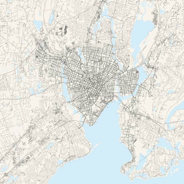
Topographic / Road map of New Haven, Connecticut, USA. Map data is open data via openstreetmap contributors. All maps are layered and easy to edit. Roads are editable stroke.

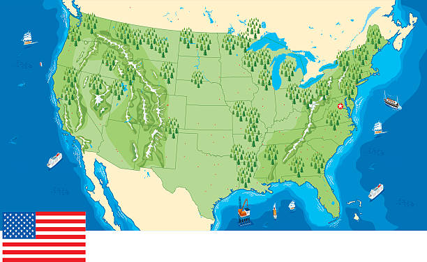

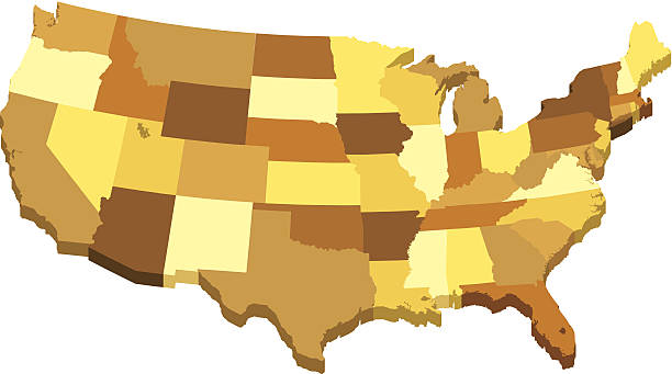
Vector illustration of USA 3D map with states in different brown colors. Global colors used, easy to edit.
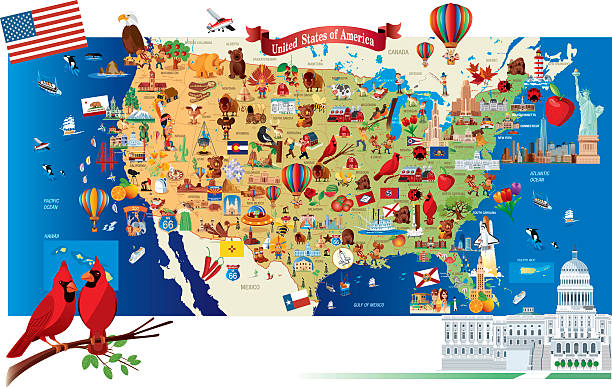
Cartoon map of USA

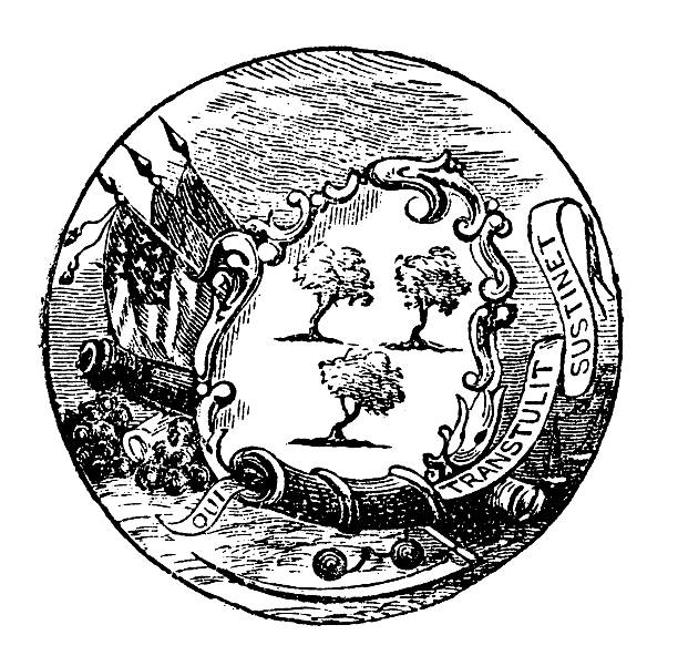
Old state seal of ConnecticutNote: This is a historical image that does not correspond to the current official design of the state seal.CLICK ON THE IMAGES BELOW FOR MORE IMAGES LIKE THIS ONE:


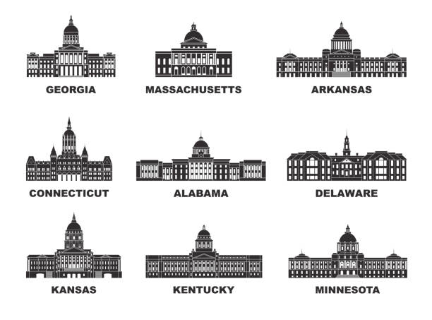
Isolated U.S.A State With Capital City

Map of Connecticut on a blue sticker and a blue rubber stamp. They are composed of the map in the middle with the names around, separated by stars. The stamp at the top right is created in a vintage style, a grunge texture is added to create a vintage and realistic effect. Vector Illustration (EPS10, well layered and grouped). Easy to edit, manipulate, resize or colorize. Please do not hesitate to contact me if you have any questions, or need to customise the illustration. http://www.istockphoto.com/portfolio/bgblue

Digital global network. High-speed data transfer technology. The world wide web. Polygonal map of the world. Blue background.
From First Century of National Existence; The United States - 1873

World map. Points of connection to the global social network. Low-poly design. Blue background.
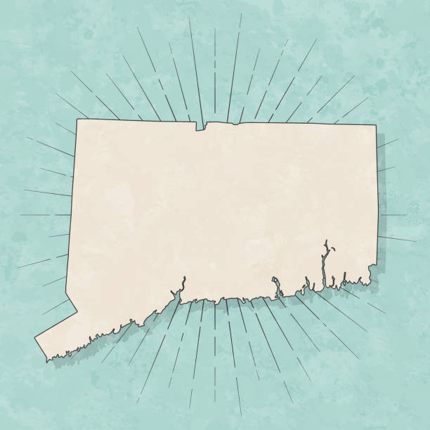
Map of Connecticut in a trendy vintage style. Beautiful retro illustration with old textured paper and light rays in the background (colors used: blue, green, beige and black for the outline). Vector Illustration (EPS10, well layered and grouped). Easy to edit, manipulate, resize or colorize.

hospital room with MRI magnetic resonance imaging scan device medical healthcare concept laboratory with high technology contemporary equipment horizontal vector illustration

Hartford Connecticut city skyline vector silhouette illustration

Neon map of Connecticut against black background.
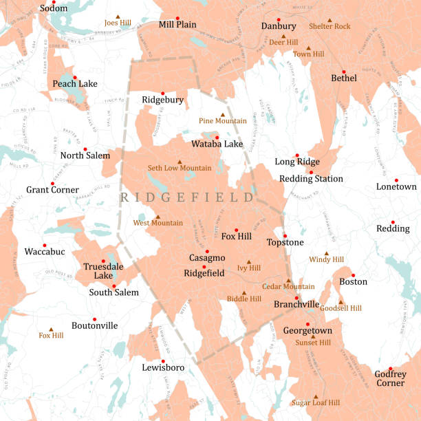
CT Fairfield Ridgefield Vector Road Map. All source data is in the public domain. U.S. Census Bureau Census Tiger. Used Layers: areawater, linearwater, roads, rails, cousub, pointlm, uac10.
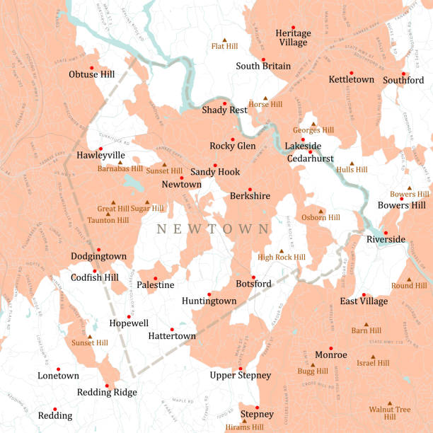
CT Fairfield Newtown Vector Road Map. All source data is in the public domain. U.S. Census Bureau Census Tiger. Used Layers: areawater, linearwater, roads, rails, cousub, pointlm, uac10.

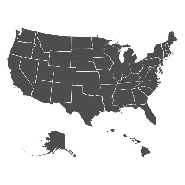
Set of US states in the map of America on a white background

Map of Democratic Republic of the Congo made with round blue dots on a blank background. Original mosaic illustration. Vector Illustration (EPS10, well layered and grouped). Easy to edit, manipulate, resize or colorize. Please do not hesitate to contact me if you have any questions, or need to customise the illustration. http://www.istockphoto.com/portfolio/bgblue

Hospital medical equipment. Medical devices x-ray machine, radiology room equipment. Health system and monitoring oncology diseases vector cartoon
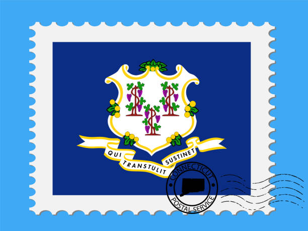
U.S. state of Connecticut Flag with Postage Stamp Vector illustration Eps 10.
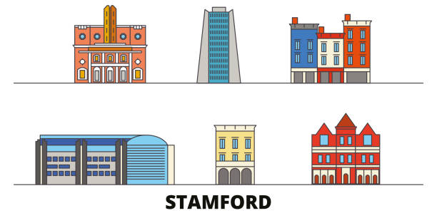
United States, Stamford flat landmarks vector illustration. United States, Stamford line city with famous travel sights, design skyline.


Traumatology and orthopaedic surgery abstract concept vector illustration set. Orthopaedic surgery of the spine, trauma treatment, medical help, pediatric trauma, doctor in hospital abstract metaphor.

Illustration from Harper's Magazine Volume XLV -June to November 1872 :- The new Factory was part of 19th century Industrial Experiment at South Manchester, Connecticut

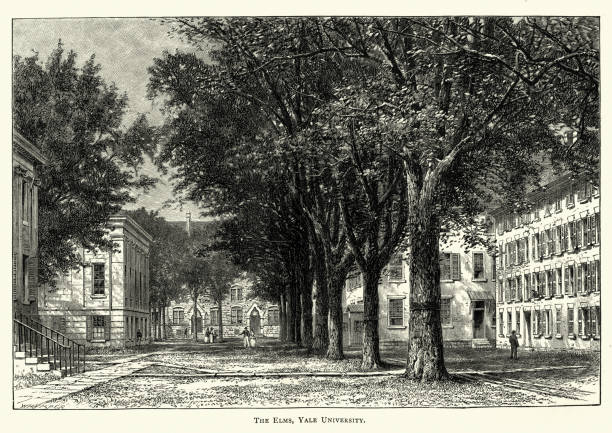
Vintage engraving of The Elm trees, Yale University, 19th Century


Mri brain scan. Ct xray mrt tomography diagnostic scanner machine, doctor medical examination patient on magnetic radiology ray technology, vector illustration. Medical, scanner diagnosis tomography
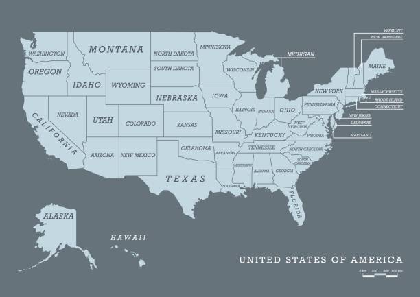
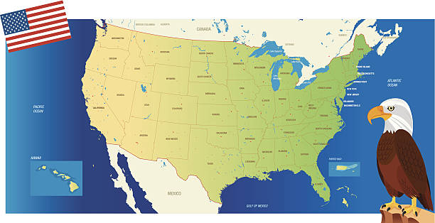
USA map with name of states. Vector illustration

Vermont, VT, political map with capital Montpelier, borders, cities, rivers and lakes. Northeastern state in the New England region of the United States. The Green Mountain State. Illustration. Vector

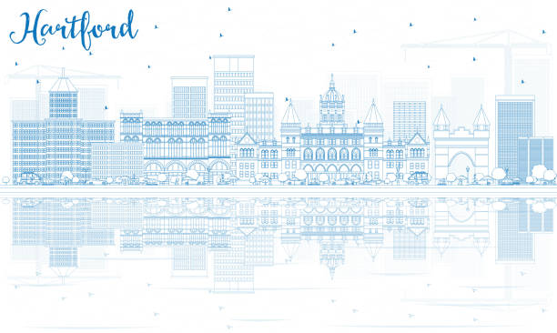
Outline Hartford Skyline with Blue Buildings and Reflections. Vector Illustration. Business Travel and Tourism Concept with Historic Architecture. Image for Presentation Banner Placard and Web Site.
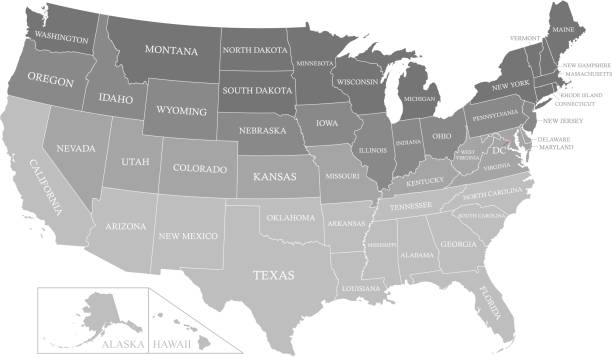
The map is accurately prepared by a GIS and remote sensing specialist. Every state has a separate boundary that can be edited.
Previous
of 80Next