Illustrations
Denmark Germany Map stock illustrations
Browse 1,900+ denmark germany map stock illustrations and vector graphics available royalty-free, or start a new search to explore more great stock images and vector art.
Most popular


vector of the Europe map
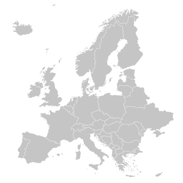
vector of the Europe map
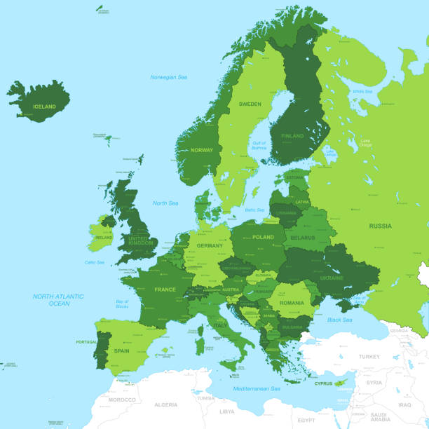
High Detail Green Vector Map centered on Europe.
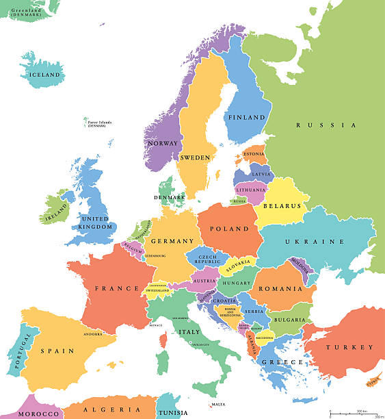
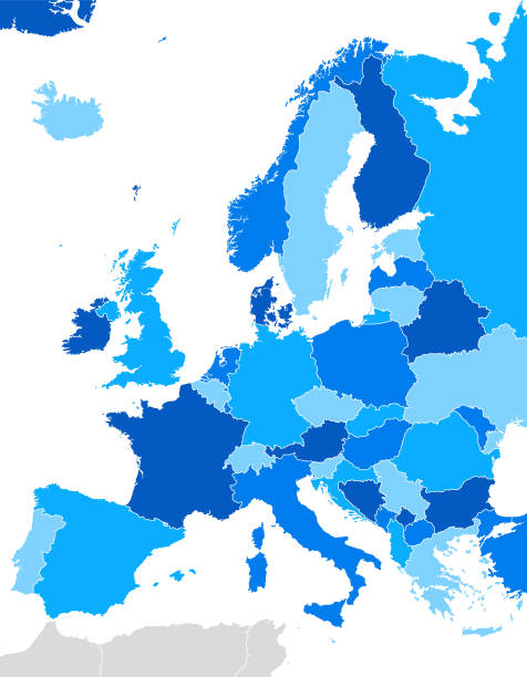
Europe single states political map. All countries in different colors, with national borders and country names. English labeling and scaling. Illustration on white background.

vector of the Europe map on transparent background
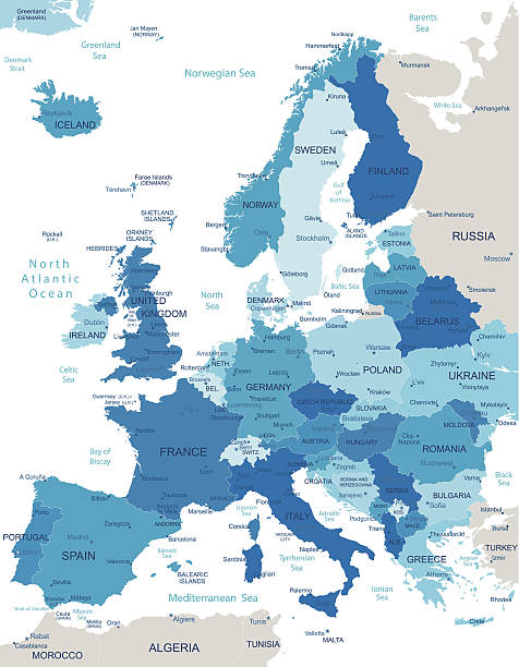
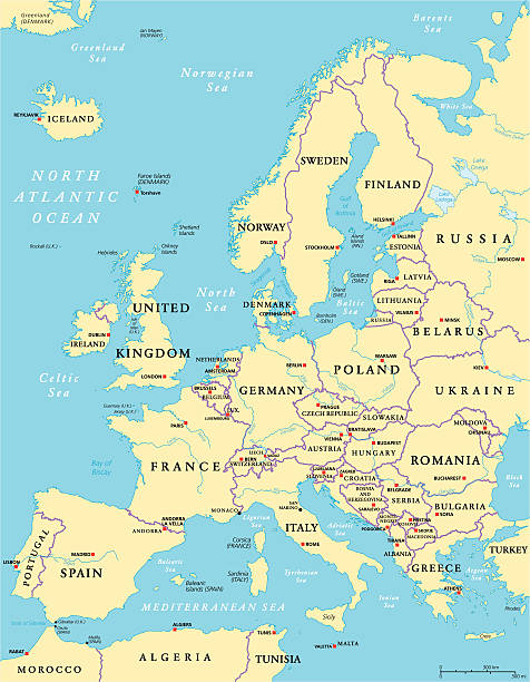
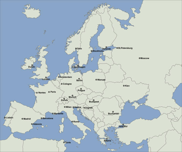
Europe countries political map with national borders and country names. English labeling and scaling. Illustration on white background.

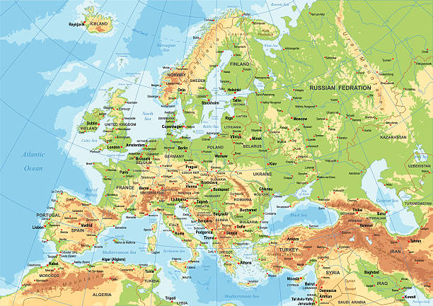
Highly detailed map of Europe with administrative divisions, cities, flags.
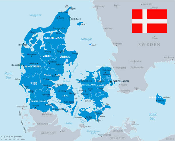
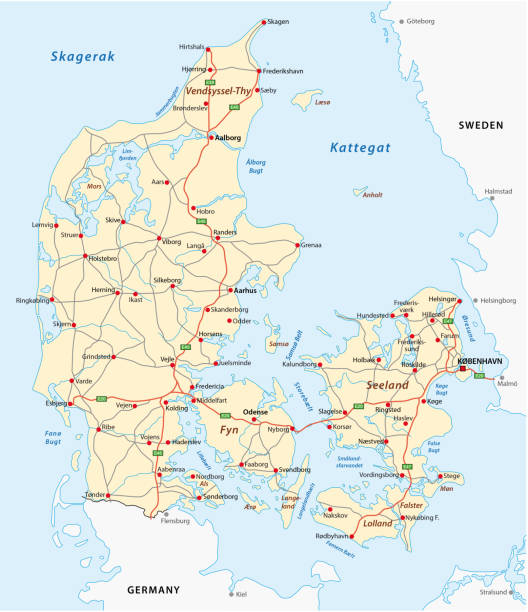
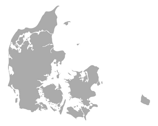
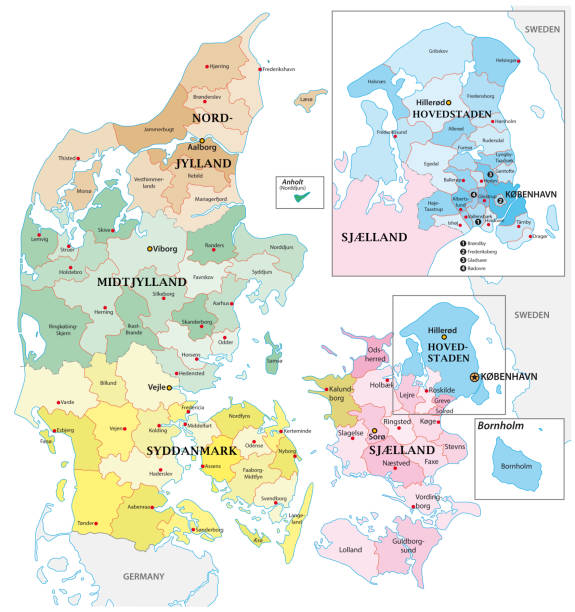
Map of Denmark - Vector illustration

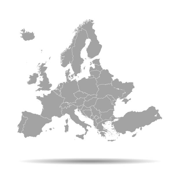
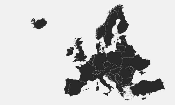
vector of the Europe map
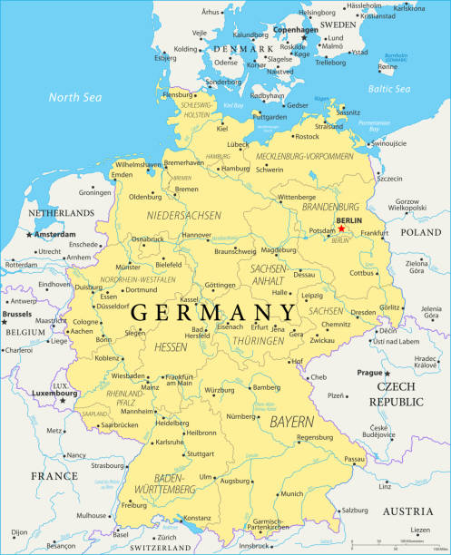
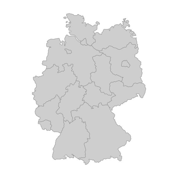
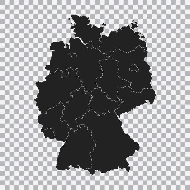
Map of Germany - Vector illustration
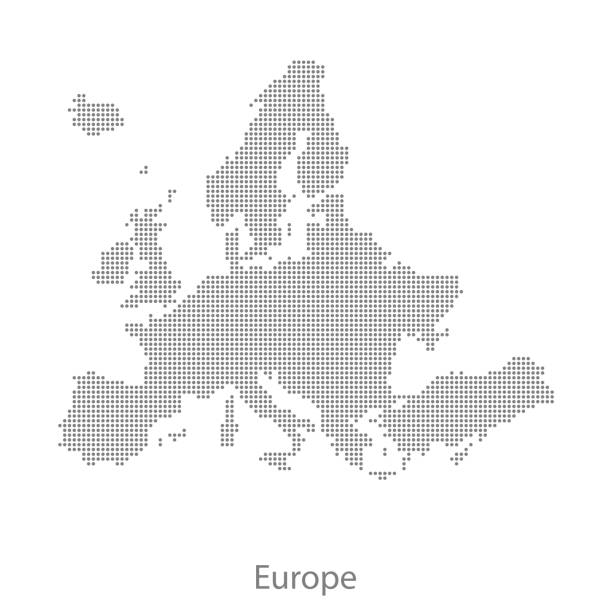
This abstract dotted Europe map is accurately prepared using the overlaid vector map of the Europe with highly detailed information. The map is prepared by a GIS and remote sensing specialist.

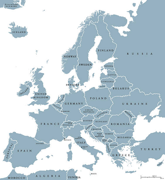
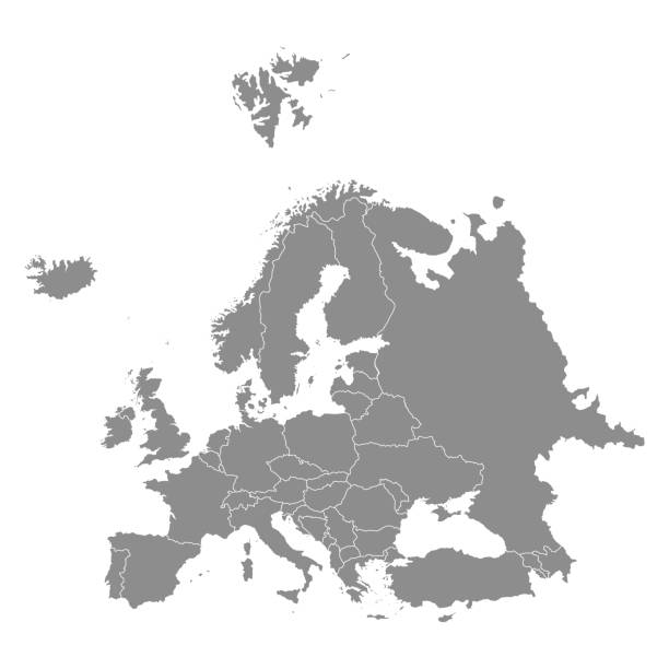
Europe Political Map and surrounding region with all countries and national borders. Isolated blue illustration on white background with english scaling.
Highly detailed map of Europe with administrative divisions, cities, flag and navigation icons.

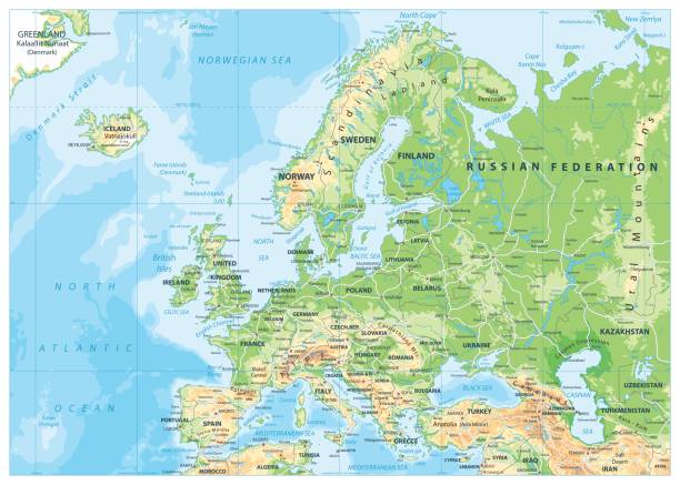
Highly detailed physical map of Scandinavia and

Big vector set of all Europe states, countries line, linear thin maps isolated on white background. High detailed editable illustration of Europe maps. Maps of European countries with names and flags

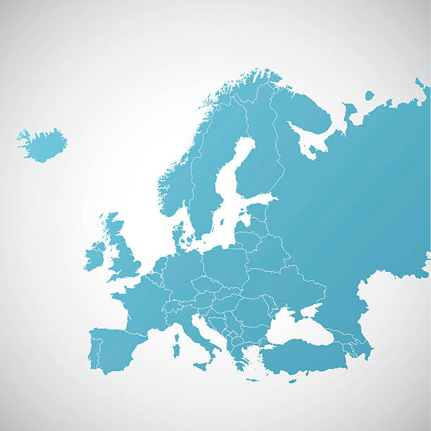
vector of the Europe map


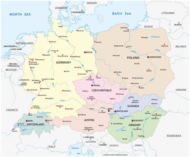
Nordfriesland, or North Frisia, gray political map. Northernmost district of Germany, part of Schleswig-Holstein, with capital Husum and five large islands Sylt, Foehr, Amrum, Pellworm and Nordstrand.


Highly detailed physical map of Europe.
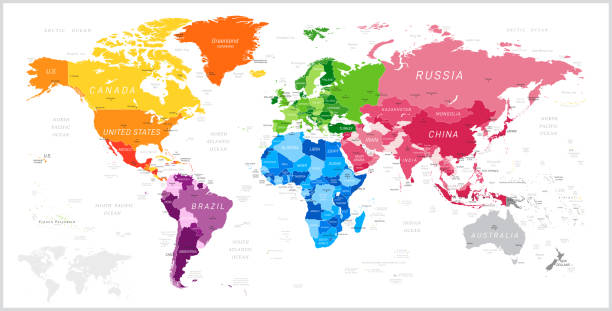
World Map North America, South America, Africa, Europe, Asia, Oceania Continents and Oceans on white background
Europe Political Map and the surrounding region. With countries, capitals, national borders and big rivers and lakes. English labeling and scaling. Illustration.

European regions on Europe political map. All data are in layers for easy editing vector map. Background for your infographics.
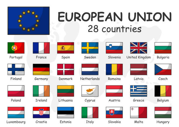
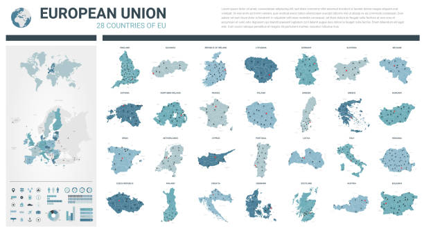
European union and membership flag . Association of 28 countries . Modern simple cartoon outline design and doodle world map background .
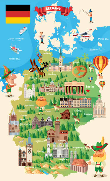
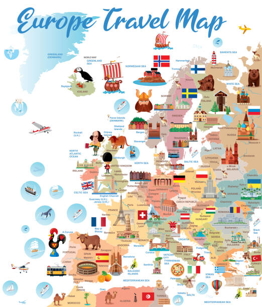
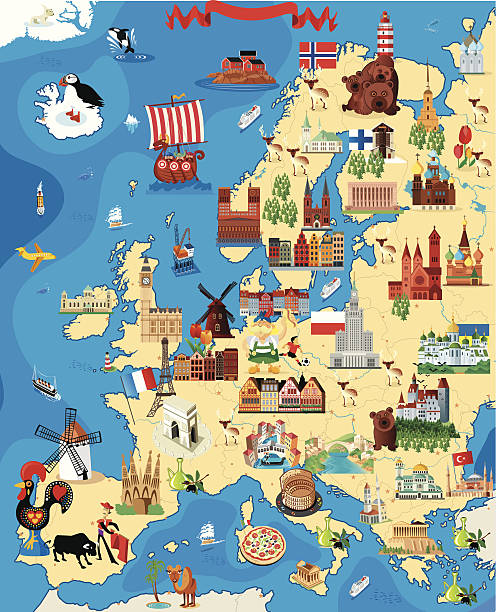
Cartoon Germany Travel Map https://maps.lib.utexas.edu/maps/europe/germany.jpg
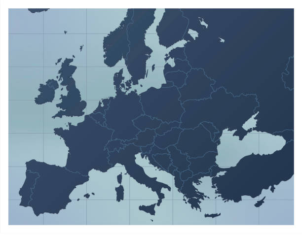
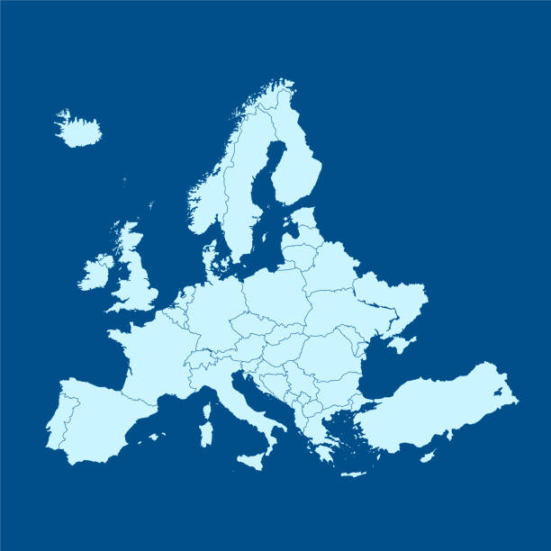
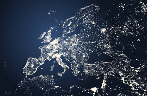
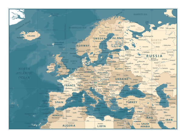
A dark blue Europe map. Good for your geographical presentations, websites and for printing.


The Map Of Europe. Political vector map of Europe with national borders.
Highly detailed colored vector illustration of Europe map -.borders, countries and cities - illustration.

Vector EUROPE MAP http://legacy.lib.utexas.edu/maps/europe/europe_ref_2012.pdf
Europe Physical Map. Detailed vector illustration of Europe Physical Map.
Europe Map - Vintage Detailed Vector Illustration

Vector illustration. I drew all elements in a vector graphics editor and design program. Elements and layers are well organized, separable, detachable and easy to use and edit. All source data is in the public domain via https://data.nasa.gov/dataset/World-Map/7zbq-j77a. The map is zoomed in on the region of Europe and has the Miller Cylindrical Projection https://www.giss.nasa.gov/tools/gprojector/help/projections/MillerCylindrical1.png


http://s017.radikal.ru/i404/1110/87/2c00b7bbd3ec.jpg


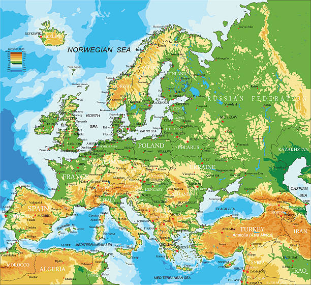
Highly detailed physical map of Europe.
Next