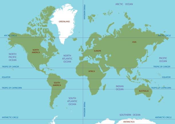
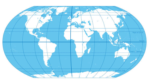
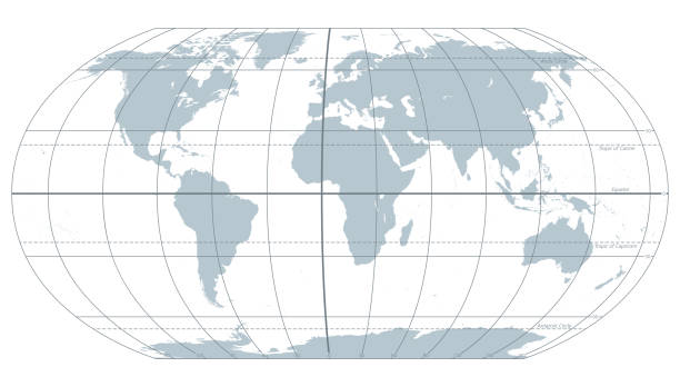
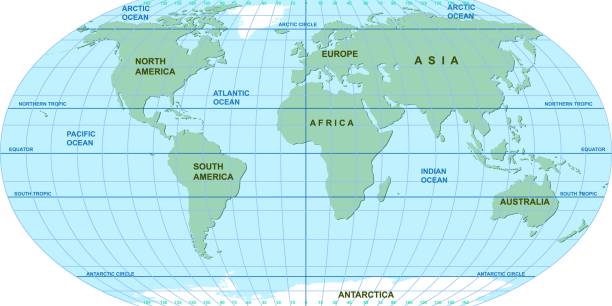
An accurate map of the world, on 8 layers to aid editing. The map includes longitude at 30 degree intervals and major latitude lines such as the equator, the tropics and arctic and antarctic circles.
Browse 2,400+ equator stock illustrations and vector graphics available royalty-free, or search for latitude equator or equator line to find more great stock images and vector art.
An accurate map of the world, on 8 layers to aid editing. The map includes longitude at 30 degree intervals and major latitude lines such as the equator, the tropics and arctic and antarctic circles.
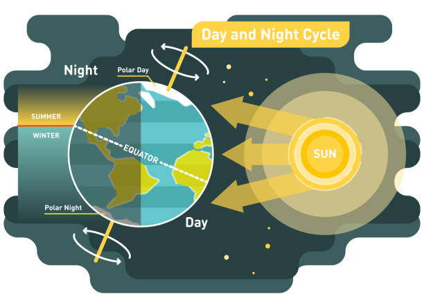
24 hours day and night cycle diagram, graphic vector illustration with sun and planet earth
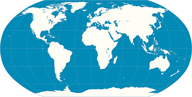
Vector map of the world. Oceans and continents on a flat projection. The globe on the plane. Vector illustration
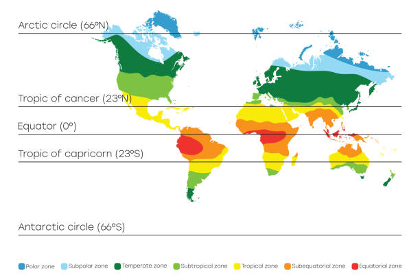
World map with climate zones, equator and tropic lines, arctic and antarctic circle. Vector illustration.
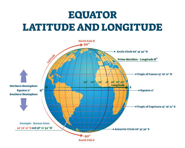
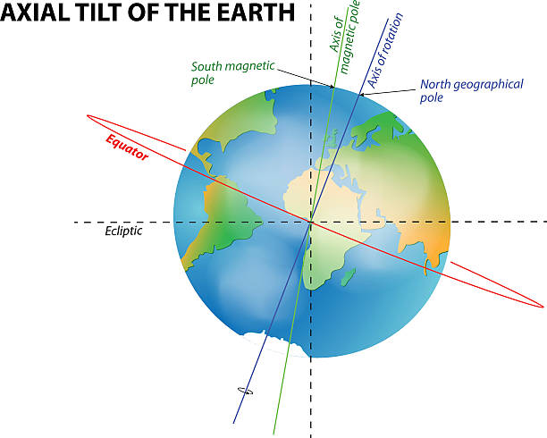
Equator latitude and longitude vector illustration. Equator grid line explanation with northern and southern hemisphere, prime and tropic of cancer. Geographic axis position and location angle point.
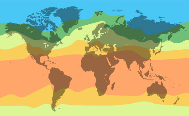
World climate temperature map. Detailed vector illustration for your projects.
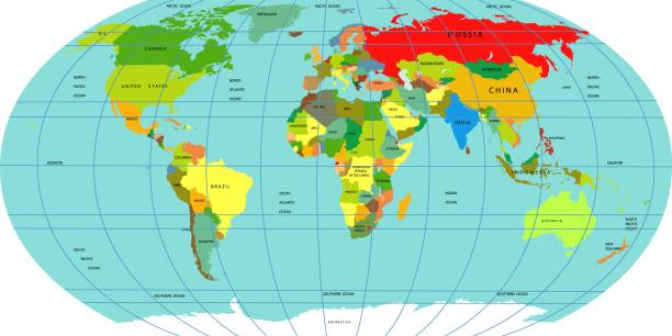
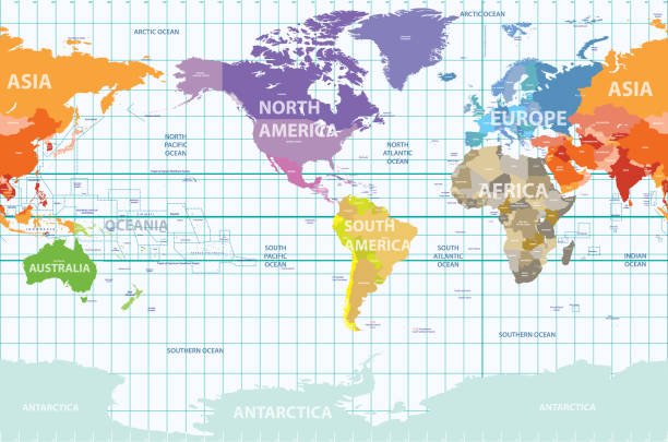
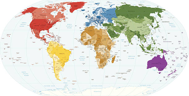
Vector map of the world. A political map of the World. Countries located on different continents are highlighted in different colors. Oceans and continents on a flat projection. Vector illustration
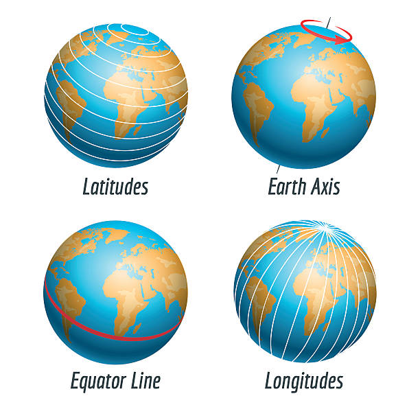
Latitude and longitude of the earth globe vector illustration
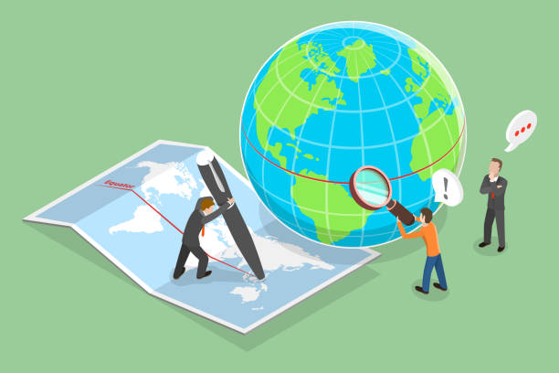
3D Isometric Flat Vector Conceptual Illustration of Earths Equator, Geographic Coordinate System
Vector map of the world. Oceans and continents on a flat projection. The globe on the plane. Vector illustration
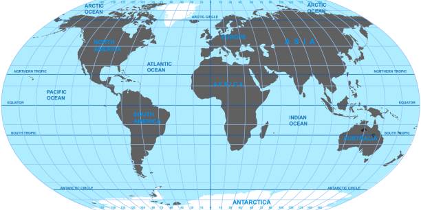
The World, important circles of latitudes and longitudes, blue colored political map. Equator, Greenwich meridian, Arctic and Antarctic Circle, Tropic of Cancer and Capricorn. Illustration. Vector.
The world with most important circles of latitudes and longitudes, gray political map. Equator, Greenwich meridian, Arctic and Antarctic Circle, Tropic of Cancer and Capricorn. Illustration. Vector.
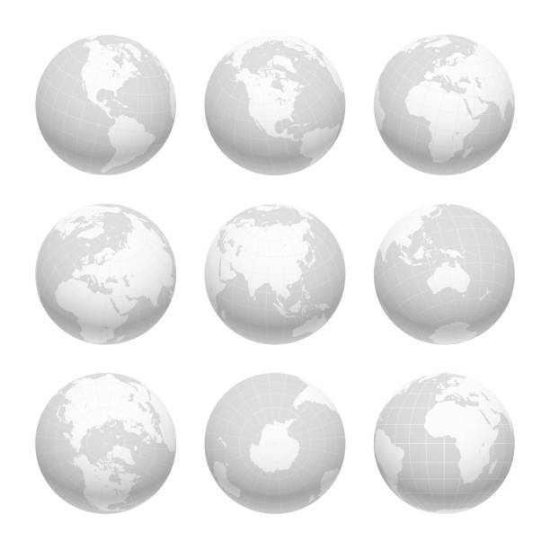
Earth nine views: Directly above, directly bellow, front view on the prime meridian, and different angles focusing on the Americas, Africa, Asia, Europe, Oceania, North and South poles, Antarctica. Carefully layered and grouped for easy editing. You can edit or remove separately the grid, the sea the lands, the light and shadows.
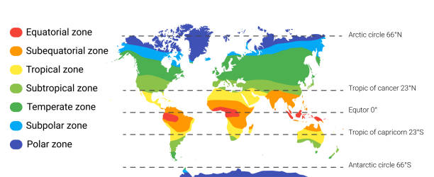
climate zones map scheme. Vector illustration with equatorial, tropical, polar, subtropical, subequatorial subpolar temperate zones
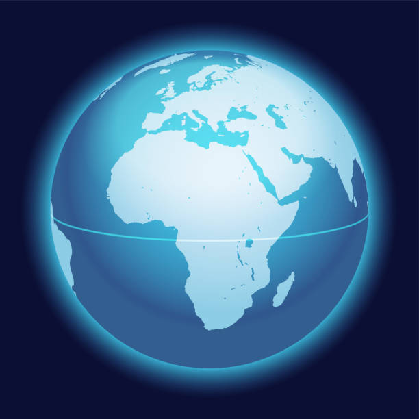
Vector World Globe Map. Africa, Mediterranean Sea, Arabian Peninsula Centered Map. Blue Planet Sphere Icon Isolated On A Dark Background.
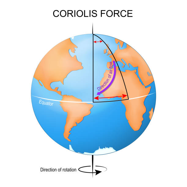
Coriolis effect. Earth globe, Actual and Expected path. vector illustration
Vector map of the world. Oceans and continents on a flat projection. The globe on the plane. Vector illustration

The ocean currents. Vector map

Vector map of the world. Oceans and continents on a flat projection. The globe on the plane. Vector illustration
Vector illustration of a

illustration of a climate anomaly that brings seasonal changes of hot and cold around the equator and the pacific ocean
Front view of planet Earth globe grid of meridians and parallels, or latitude and longitude. 3D vector illustration.
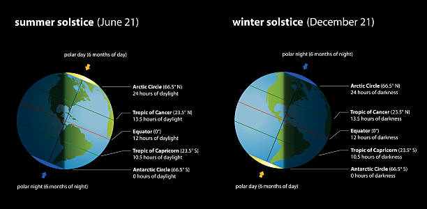
Summer and winter solstice with hours of daylight and darkness in comparison. Isolated vector illustration on black background.
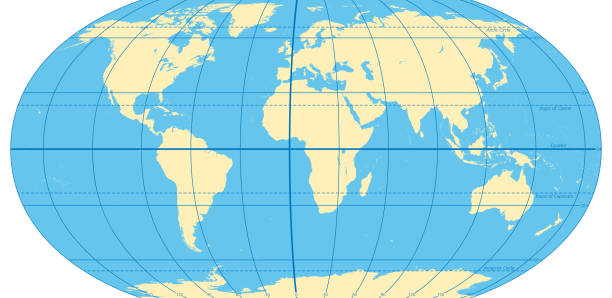
World map with most important circles of latitudes and longitudes, showing Equator, Greenwich meridian, Arctic and Antarctic Circle, Tropic of Cancer and Capricorn. English. Illustration. Vector.

Vector illustration of map of Ecuador with typical features

Detailed South America Political map in Mercator projection. Clearly labeled. Separated layers.

three dimensional globe design element. ai eps 10
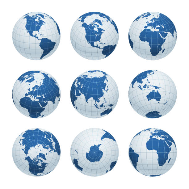
Earth nine views: Directly above, directly bellow, front view on the prime meridian, and different angles focusing on the Americas, Africa, Asia, Europe, Oceania, North and South poles, Antarctica. Carefully layered and grouped for easy editing. You can edit or remove separately the grid, the sea the lands, the light and shadows.

Earth globe with green world map and blue seas and oceans focused on Europe. With thin white meridians and parallels. 3D vector illustration.

Northern Hemisphere detailed illustration
abstract three dimensional world map globe design element

Northern Hemisphere detailed illustration
Globe Icons - Vector Line Icons. Editable Stroke. Vector Graphic

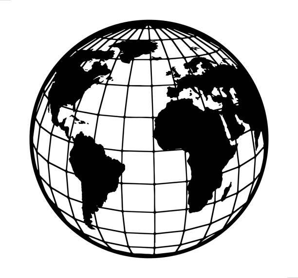
Earth globe with meridians and parallels. 3D vector illustration. Carefully layered and grouped for easy editing. You can edit or remove separately the grid, the sea and the lands.
Vector illustration of a
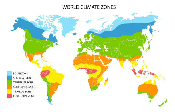
World climate zones, vector geographic infographics. Global climate map, geography science.

Earth realistic shadowed sphere with meridians and parallels. 3D vector illustration. Carefully layered and grouped for easy editing. You can edit or remove separately the grid, the sea, the lands, the light and shadows.
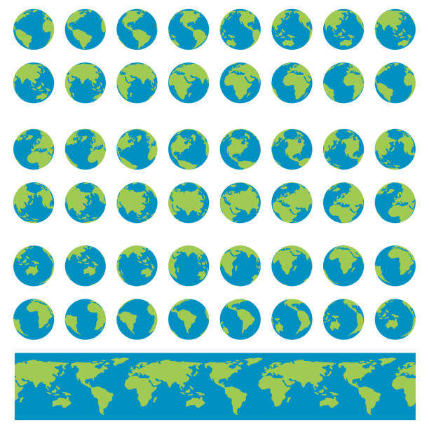
Earth Globes set. Planet Earth turnaround, rotation at different angles for animation. Flat vector Illustration.
Earth globe with green world map and blue seas and oceans focused on North America. With thin white meridians and parallels. 3D vector illustration.
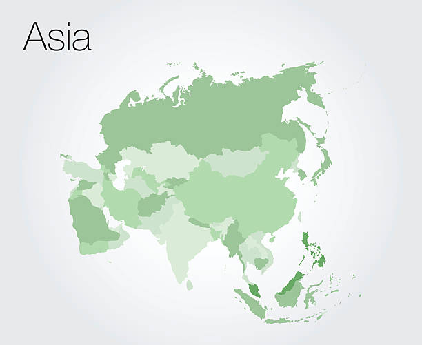
Asia map vector on vector background
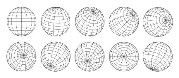
3d globe grid, planet sphere and ball wireframe. Vector Earth globe surface with discrete global grid or mosaic of longitude and latitude meridians and parallels, isolated world map wire frame net
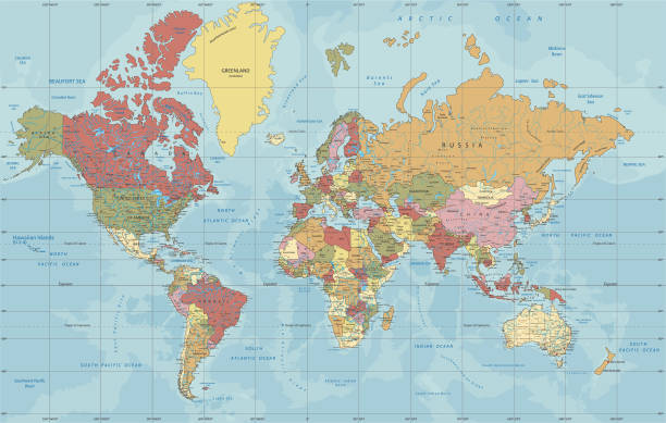
Detailed Political World map in Mercator projection. Organized vector illustration on seprated layers.
Icon of "Globe" for your own design. Four icons with editable stroke included in the bundle: - One black icon on a white background. - One blank icon on a black background. - One white icon with shadow on a blank background (for easy change background or texture). - One line icon with only a thin black outline (in a line art style). The layers are named to facilitate your customization. Vector Illustration (EPS10, well layered and grouped). Easy to edit, manipulate, resize or colorize. And Jpeg file of different sizes.
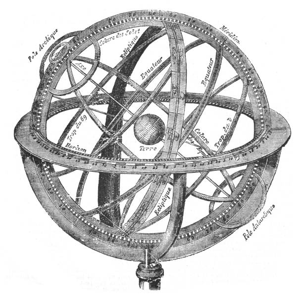
Vintage engraved illustration isolated on white background - Old globe - Armillary sphere diagram
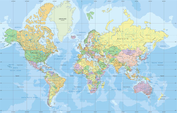
Political World map in Mercator projection. Organized vector illustration on seprated layers.

Vector map of the world. Oceans and continents on a flat projection. The globe on the plane. Vector illustration
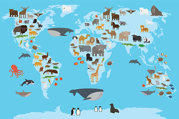
Animals world map. Animals living in different parts of the planet guide. Vector illustration.
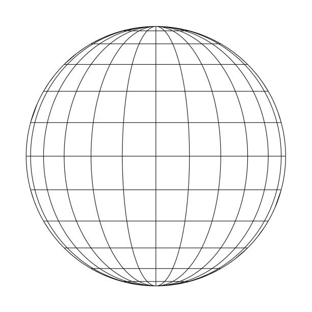
3D sphere wireframe icon. Orb figure, spherical shape, grid ball isolated on white background. Earth globe model with longitude and latitude, parallel and meridian lines. Vector graphic illustration
Globe, Globe Communication, Global Business, planet earth,
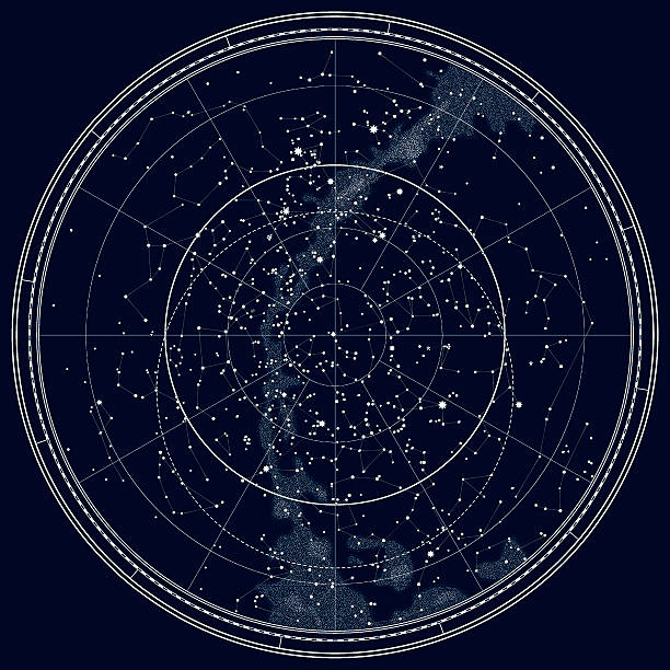
Astronomical Celestial Map of The Northern Hemisphere. Detailed Chart. Deep Night Black Ink version.
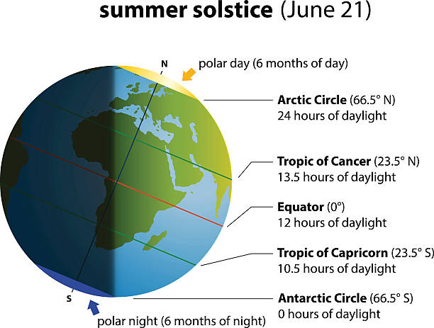
Illustration of summer solstice on june 21. Globe with europe and africa, sunlight and shadow.

A close up of a medieval map of AfricaCLICK ON THE LINKS BELOW FOR HUNDREDS MORE SIMILAR IMAGES:
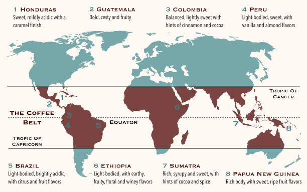
he area of the world, known as coffee belt, which includes the major coffee producing countries
© 2025 iStockphoto LP. The iStock design is a trademark of iStockphoto LP. Browse millions of high-quality stock photos, illustrations, and videos.
Do Not Sell or Share