
Illustrations
Browse 2,700+ france and belgium map stock illustrations and vector graphics available royalty-free, or start a new search to explore more great stock images and vector art.
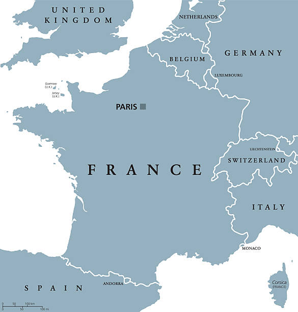
France political map with capital Paris, Corsica, national borders and neighbor countries. Gray illustration with English labeling and scaling on white background. Illustration.

Map of France - Vintage Vector illustration


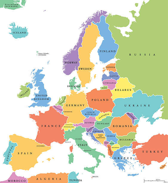
Europe map with colour and name. Vector illustration
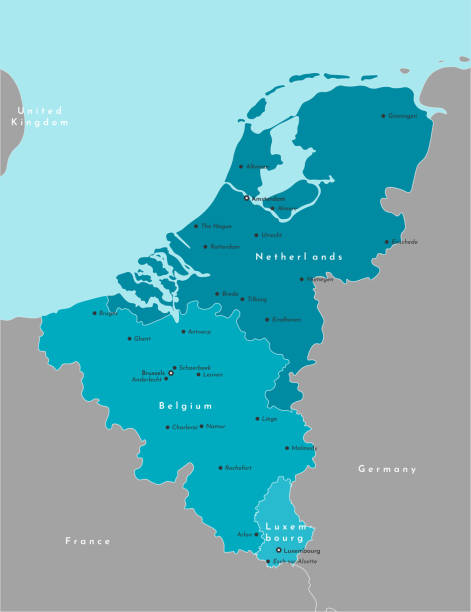
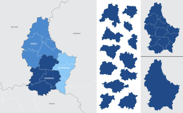
Vector modern illustration. Simplified political map of states of Benelux Union and neighboring areas. Blue background of North Sea. Names of largest cities of Belgium, Netherlands, Luxembourg.
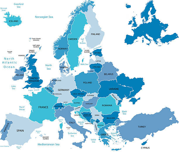
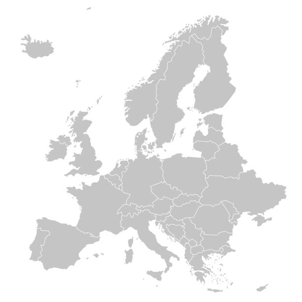
Highly detailed map of Europe for your design and product.
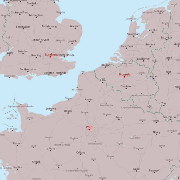
Travel Vector Map London Paris Brussels. All source data is in the public domain. Made with Natural Earth. http://www.naturalearthdata.com/about/terms-of-use/

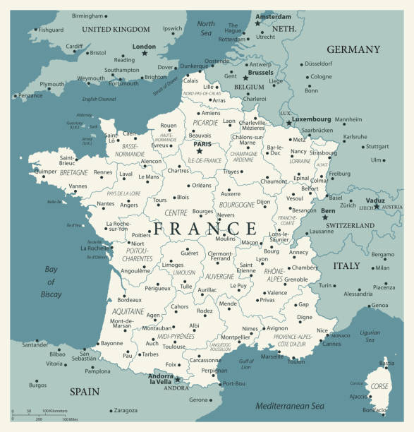
This file is a map highlighting France as well as it's regions and capital cities. This map also shows surrounding countries and capital cities if present. This map has text labels for the countries, regions, capital cities and major bodies of water. ZOOM IN on this highly detailed map, it is a great addition to the collection. This file will work well for your print or web based project. This file is layered and grouped (labeled in ai v10 file), making it a very easy file to work with. This download contains an editable ai v10 and eps file, as well as a large JPG file.

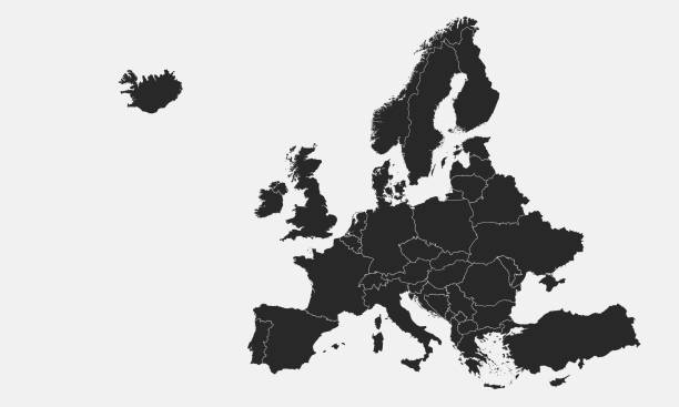
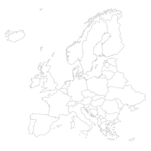
vector of the Europe map on transparent background

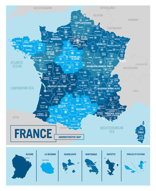
France, political map. Regions of Metropolitan France. French Republic with capital Paris and 13 administrative regions on the mainland of Europe and their prefectures. English. Illustration. Vector.

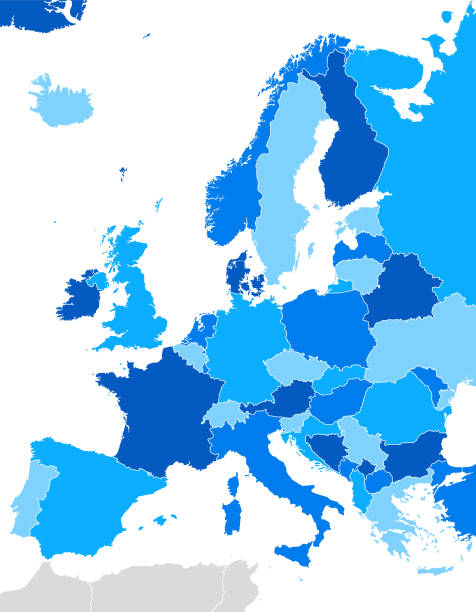
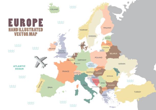
Europe single states political map. All countries in different colors, with national borders and country names. English labeling and scaling. Illustration on white background.
Vector EUROPE MAP http://legacy.lib.utexas.edu/maps/europe/europe_ref_2012.pdf

vector of the Europe map


Map of Belgium - Vector illustration

vector of the Europe map

vector of the Europe map


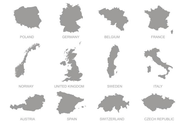
Vector illustration. White silhouettes of West Europe states maps, simplified outlines. France, Belgium, Netherlands, Switzerland, Austria, Germany, Monaco, Liechtenstein, Luxembourg

Map of France - Vector illustration


Map of France - Vector illustration


Map of Western Europe. Handdrawn doodle style. Vector illustration.


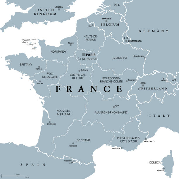
France, metropolitan regions, gray political map. French Republic with capital Paris and administrative regions on the mainland of Europe and their prefectures. English labeling. Illustration. Vector.
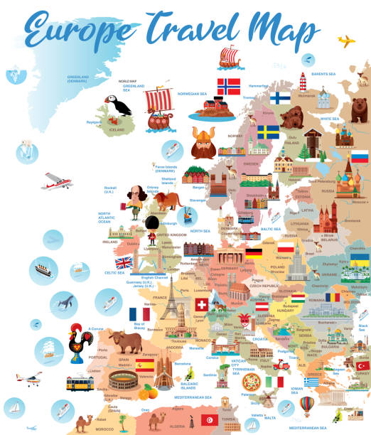
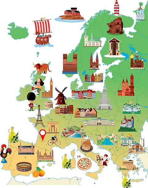
European Locations Landmarks Icon Set. Editable Stroke. Famous Place, Monument, Europe, London - England, Famous Place, Eiffel Tower - Paris


West Europe Region. Colorful map of countries in western Europe. Vector illustration.
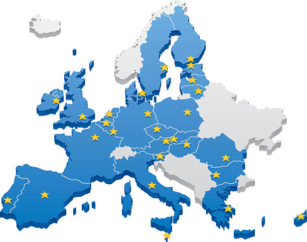
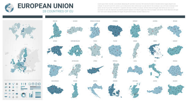
Map of the European Union. Capitals and borders can be easily removed in the vector file.
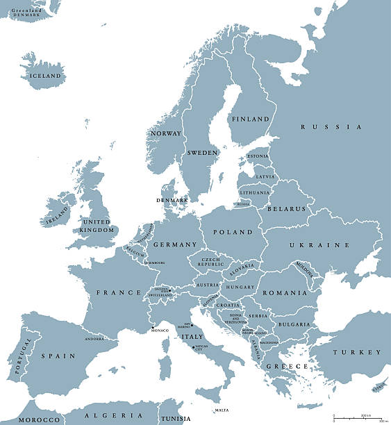
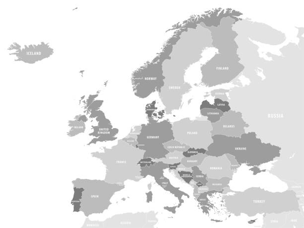
Europe countries political map with national borders and country names. English labeling and scaling. Illustration on white background.

Benelux Union countries, political map. Members of the politico-economic union and formal international intergovernmental cooperation of the European states Belgium, the Netherlands, and Luxembourg.

Map of Germania and the northern provinces of the Roman Empire around the middle of the 2nd century AD. Lithograph, published in 1897.


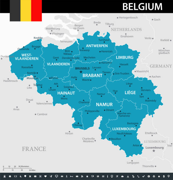
Detailed map of Belgium.

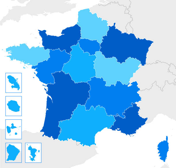
Precise map of France with administrative divisions. Vector in multiple layers so it's easy to edit.


Netherlands Political Map with capital Amsterdam, national borders, most important cities, rivers and lakes. English labeling and scaling. Illustration.
of47Next