
Illustrations
1,648 Illustrations
View jakarta map videos
High quality Map Jakarta City. vector illustration
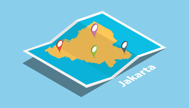
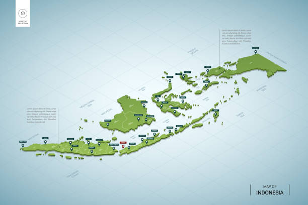
explore jakarta maps with isometric style and pin location tag on top vector illustration
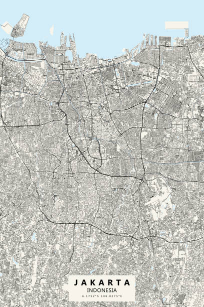
Poster Style Topographic / Road map of Jakarta, Indonesia. Original map data is open data via © OpenStreetMap contributors. All maps are layered and easy to edit. Roads are editable stroke.
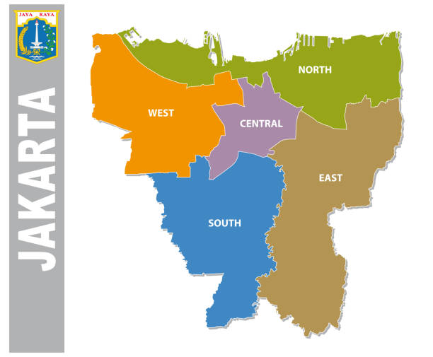
Colorful Jakarta administrative and political vector map with coat of arms.
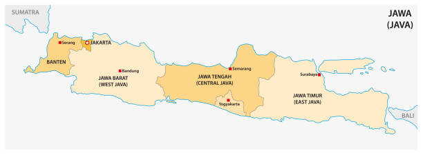
Road vector map of the Indonesian island java

Map of Indonesia for your own design. Three maps with editable stroke included in the bundle: - One black map on a white background. - One line map with only a thin black outline in a line art style (you can adjust the stroke weight as you want). - One map on a blank transparent background (for change background or texture). The layers are named to facilitate your customization. Vector Illustration (EPS file, well layered and grouped). Easy to edit, manipulate, resize or colorize. Vector and Jpeg file of different sizes.

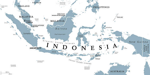
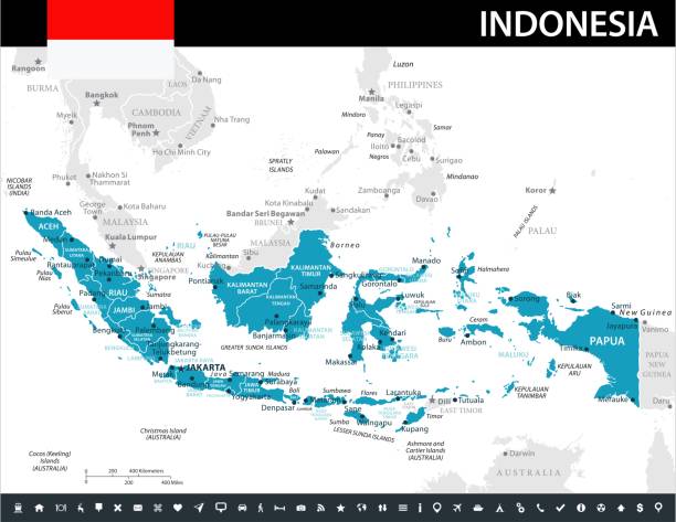
Indonesia political map with capital Jakarta, islands, neighbor countries Malaysia, Singapore, Brunei, East Timor and capitals. Gray illustration with English labeling on white background. Vector.


Indonesia detailed map with regions and cities of the country. Vector illustration
Indonesia political map with capital Jakarta, national borders and important cities. English labeling and scaling. Illustration.

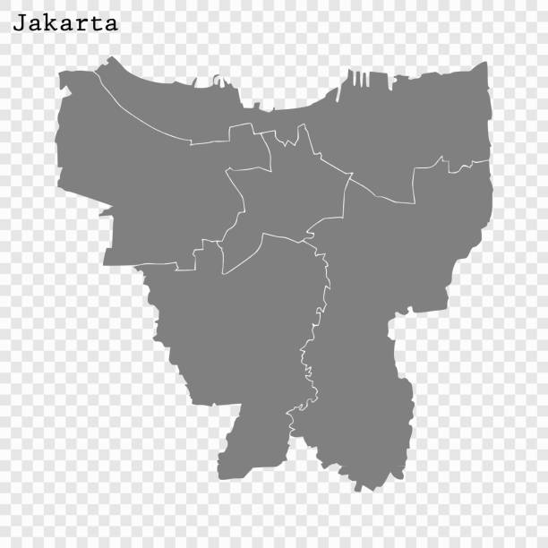
Jakarta Indonesia City Map in Black and White Color. Outline Map. Vector Illustration.


Indonesia, a country in Southeast Asia and Oceania, gray political map. Republic and archipelago with capital Jakarta, and largest islands Sumatra, Java, Sulawesi, and parts of Borneo and New Guinea.


Indonesia map dotted, grey point, on white background. Vector illustration for web design or wallpaper flyers footage posters brochure banners. Indonesia dotted map. Vector eps10.

Vector maps of Indonesia with variable specification and icons

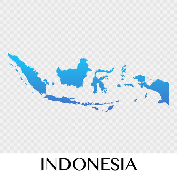
Map of Indonesia - Vector illustration

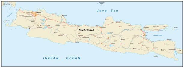
The Railway Network Map of Java Island in Indonesia

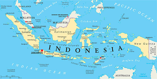
Indonesia, country in Southeast Asia and Oceania, colored political map. Republic and archipelago with capital Jakarta, and largest islands Sumatra, Java, Sulawesi, and parts of Borneo and New Guinea.

Topographic / Road map of Jakarta, Indonesia. Original map data is open data via © OpenStreetMap contributors. All maps are layered and easy to edit. Roads are editable stroke.


Abstract map of Indonesia geometric mesh polygonal network line, structure and point scales on dark background. Vector illustration eps 10.

http://dikobraz.org/map_2.jpg

Map of Indonesia - Infographic Vector illustration

http://dikobraz.org/map_2.jpg

Map of Indonesia cut out on a blank white paper with a blue background. Modern and trendy paper cutout effect. Vector Illustration (EPS file, well layered and grouped). Easy to edit, manipulate, resize or colorize. Vector and Jpeg file of different sizes.


3d isometric map of Jakarta is a province of Indonesia, vector illustration
http://s017.radikal.ru/i404/1110/87/2c00b7bbd3ec.jpg


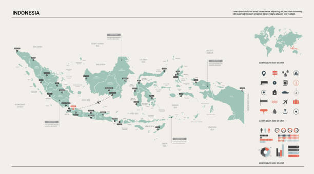
Vector map of Indonesia with infographic elements: regions, cities, charts, icons. Blue color scheme, flat modern style. Ideal for reports, presentations, and educational use.

Indonesia - detailed map of the country in brown colors, divided into regions. Vector illustration


Indonesia detailed Banten map shape, Flat web graphic concept icon symbol vector illustration .

Indonesia - detailed map with country regions. Vector illustration


Indonesia Map - Vintage Detailed Vector Illustration

http://legacy.lib.utexas.edu/maps/middle_east_and_asia/indonesia_pol_2002.jpg

Republic of Indonesia - vector map. Eps 8.

Vector map of Indonesia. Pink highlighted in Southeast Asia region.
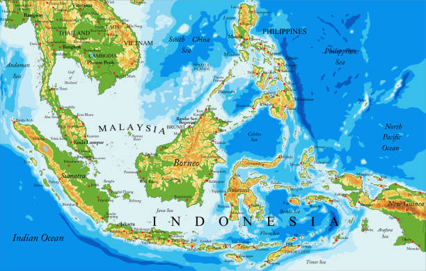
Highly detailed physical map of Indonesia,in vector format,with all the relief forms,countries and big cities

Political map of Malaysia and Indonesia with capitals Kuala Lumpur and Jakarta, with national borders and lakes. Vector illustration with English labeling and scaling.

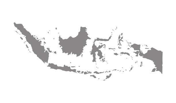
Map of Indonesia isolated on white background.


Abstract image Indonesia map from point blue and glowing stars on a dark background. vector illustration.

Indonesia map. Country poster with regions. Old grunge texture. Shape of Indonesia with country name. Cool vector illustration.


3D map of Indonesia isolated on a blank and gray background, with a dropshadow. Vector Illustration (EPS10, well layered and grouped). Easy to edit, manipulate, resize or colorize.


Illustrated map of Indonesia with cities and landmarks. Editable vector illustration
vector illustration of Indonesia map
of28Next