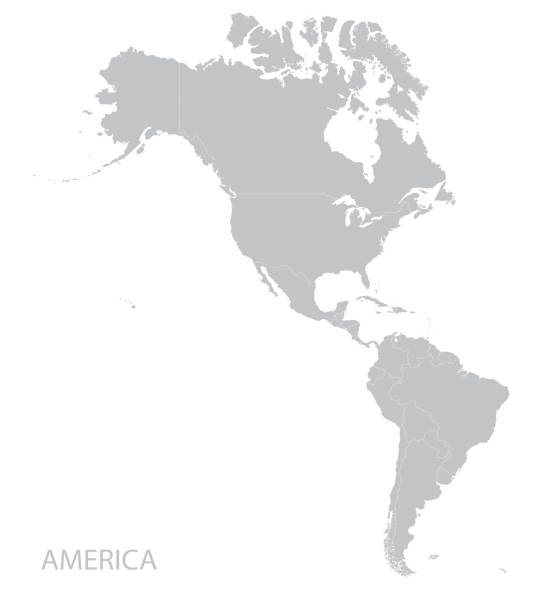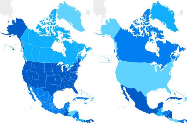
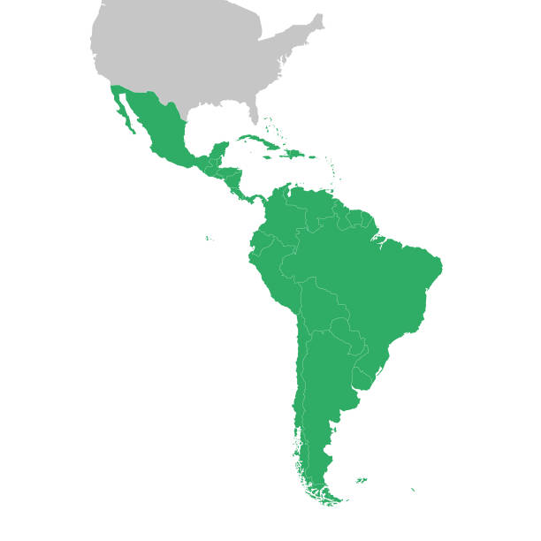
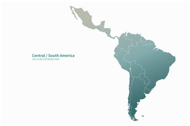
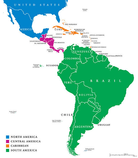
Latin America map, North America, Caribbean, Central America, South America.
Browse 97,300+ latin america map stock illustrations and vector graphics available royalty-free, or search for latin america map icon or latin america map vector to find more great stock images and vector art.
Latin America map, North America, Caribbean, Central America, South America.

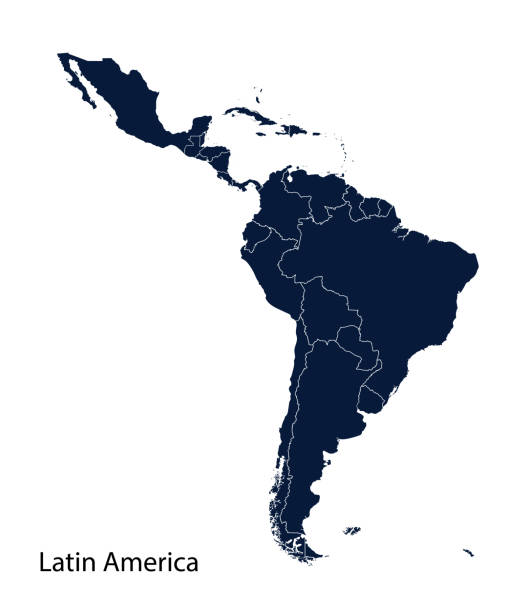
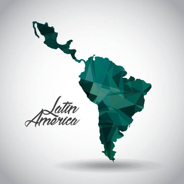
Latin America dark silhouette map isolated on white background
This vector illustration uses squares to create a detailed map of Latin America. The EPS 10 file is easy to colour and customise if required and can be scaled to any size without loss of quality, making it an ideal design element for your project.
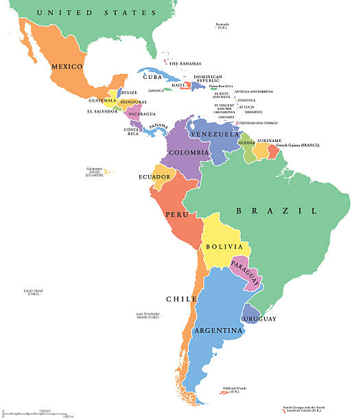
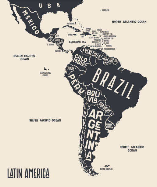
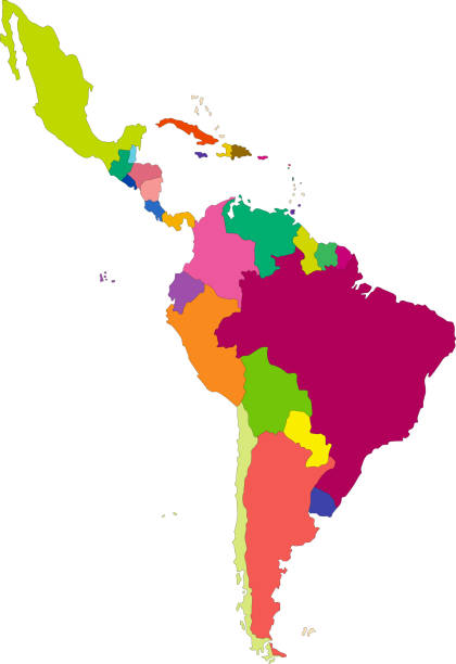
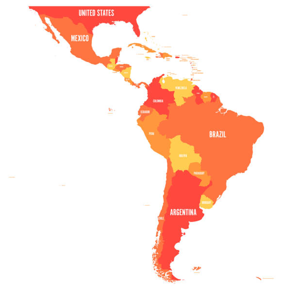
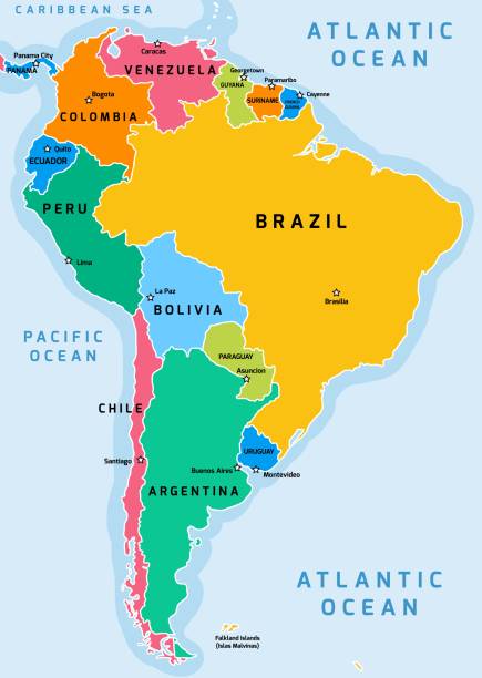
Latin America single states political map. Countries in different colors, with national borders and English country names. From Mexico to the southern tip of South America, including the Caribbean.
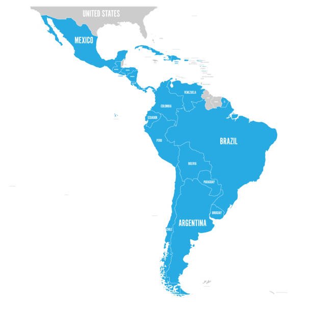
Political map of Latin America. Latin american states blue highlighted in the map of South America, Central America and Caribbean. Vector illustration.
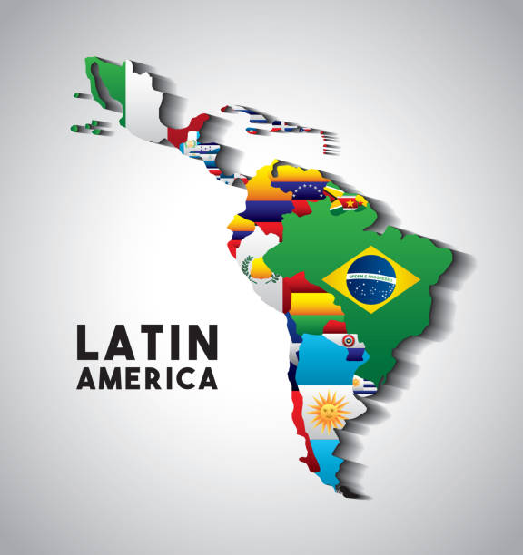
Map of Latin America with the flags of countries. colorful design. vector illustration
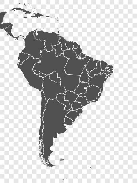
Map of South America and Central America. Vector illustration in HD very easy to make edits.
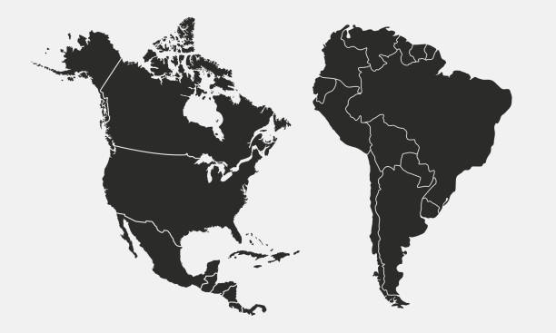
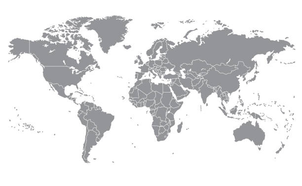
North America, South America, and Central America on a continental map
Map Latin America. Poster map of Latin America. Black and white print map of Latin America for t-shirt, poster or geographic themes. Hand-drawn graphic map with countries. Vector Illustration

Detailed Map of Latin America With Countries, can be used for business designs, presentation designs or any suitable designs.
Vector highly detailed political map of Latin America and their capitals. All elements are separated in editable layers clearly labeled. EPS 10
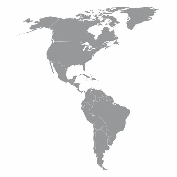
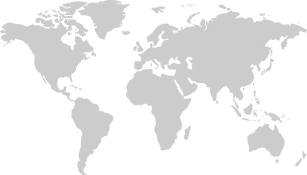
Illustration of a gray North and South America map
Map of Latin America. Vector illustration in shades of orange.
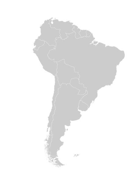
Map of South America with countries and borders. Vector illustration.
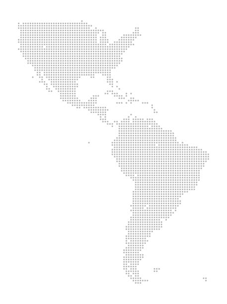
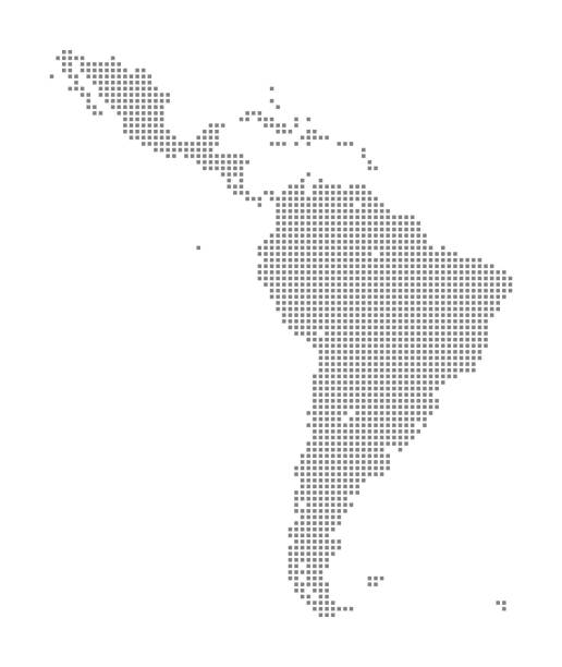
This detailed map illustration using dots is an ideal design element for your project. Easy to color and customize if required, it can be scaled to any size without loss of quality.

South America on Planet Earth view from space with continents outlines abstract background. Globalization, connection concept. Low poly wireframe, lines and dots glowing design. Vector illustration.
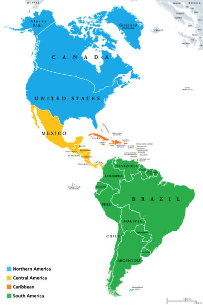
The Americas, geoscheme and political map. The North American subregion with intermediate regions Caribbean, Northern and Central America, and the subregion South America. Subdivisions for statistics.

White dotted 3d earth world map globe in black background. Vector illustration.

Vector maps of the South America with variable specification and icons
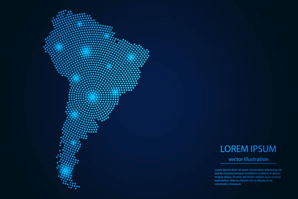
Abstract image South America map from point blue and glowing stars on a dark background. Vector Illustration.

Latin America countries political map with national borders. Countries from the northern border of Mexico to the southern tip of South America, including the Caribbean. English labeling. Illustration.
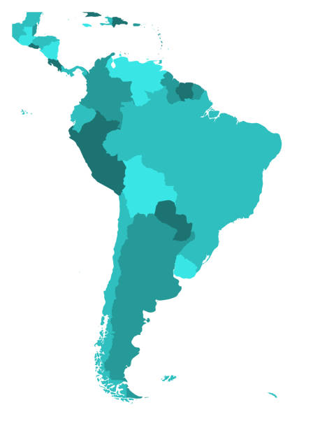
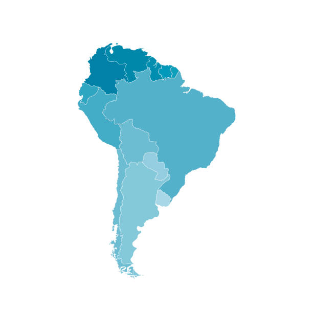
Political map of South America. Simple flat blank vector map in four shades of turquoise blue.
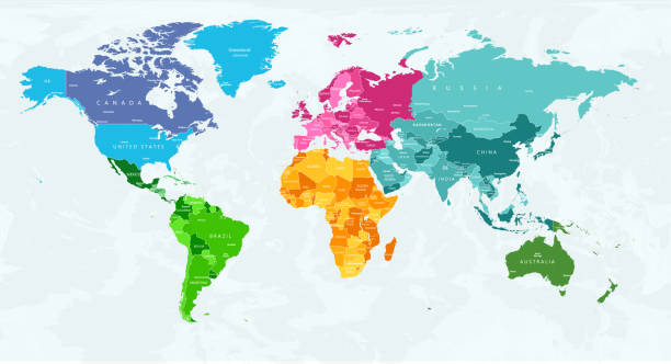
This highly detailed world map provides a visually striking and educational representation of Earth's continents, with each continent color-coded to ensure easy identification and differentiation. Ideal for students, teachers, and geography enthusiasts, this map can be used as a learning tool to study geographical regions, country borders, and the overall layout of the world. The color-coding allows viewers to immediately recognize continents, making it perfect for presentations, classroom use, or even as wall decor in offices and homes. In addition, this map is available in multiple color schemes, each version highlighting the continents in unique shades, offering versatility for various preferences and settings. Whether used for research, education, or decoration, this map serves as a functional and aesthetically pleasing resource for understanding global geography.World map, color-coded continents, educational map, detailed world map, global geography, interactive map, geographical boundaries, geography learning tool, world regions map, map for classrooms.
latin america map icon over white background. colorful design. vector illustration

South America on Planet Earth view from space with continents outlines abstract background. Globalization, connection concept. Low poly wireframe, lines and dots glowing design. Vector illustration.

South America map - green hue colored on dark background. High detailed political map South American continent with country, capital, ocean and sea names labeling.

vector of the South America map
World map on a transparent base (can be added on top of any color background)
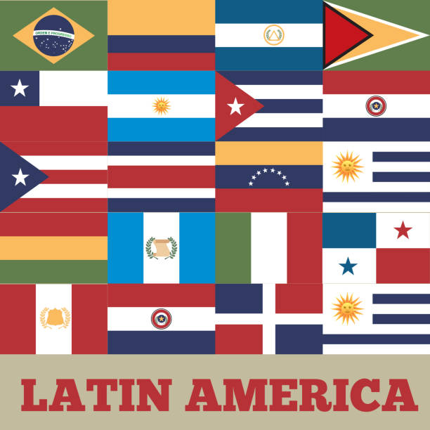
flags of latin america countries. colorful design. vector illustration

Vector illustration of South America map

latin america map icon over white background. colorful design. vector illustration
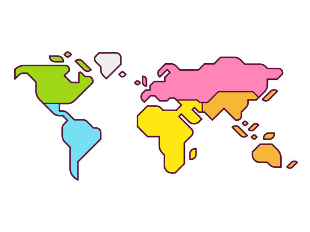
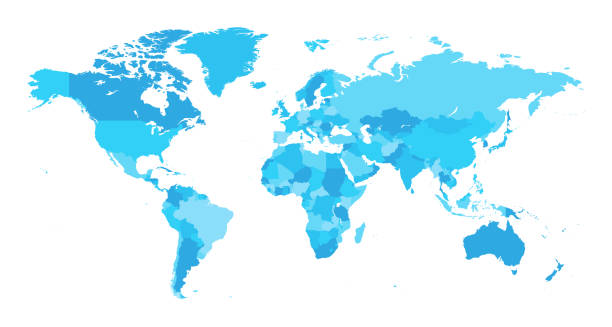
Simplified world map infographic with continents in different color. Modern flat vector style illustration.

South America Connections. Concept of Networking
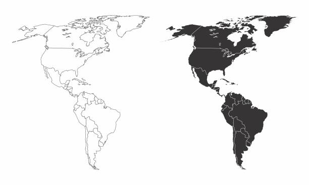
Simplified maps of the americas with countries boundaries. Black and white outlines.
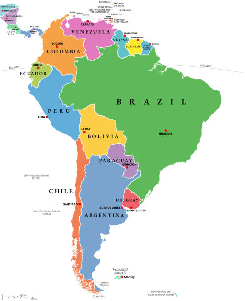
South America, multi colored political map with international borders and capitals. Continent, bordered by the Pacific and Atlantic Ocean, North America and the Caribbean Sea. Isolated illustration.
South America political division map - vector illustration.
Latin America regions political map. The subregions Caribbean, North, Central and South America in different colors, with national borders and English country names. Illustration on white background.
Vector of highly detailed world map - each country outlined and has its own labeled layer - The url of the reference file is : http://www.lib.utexas.edu/maps/world.html - 1 layer of data used for the detailed outline of the land

Vector illustration with map of South America continent and part of Central America. Grey silhouettes, white grey background. Text with names of independent states
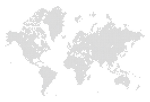
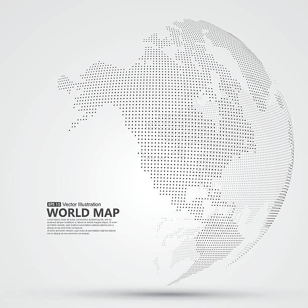
A detailed world map illustration made up of dots. This file is an ideal design element for your project. It's easy to colour and customise if required and can be scaled to any size without loss of quality.
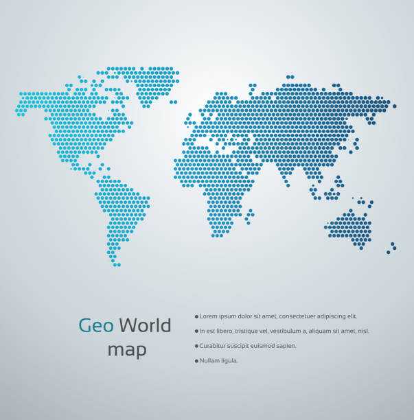
Modern blue geo world map.
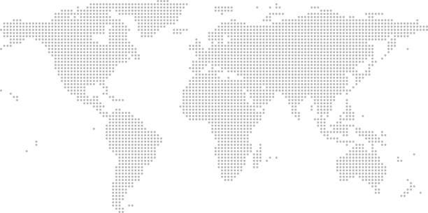
This abstract dotted map of World is accurately prepared using the overlaid vector map of the World with highly detailed information.
Vector illustration with map of South America continent. Blue silhouettes, white background.
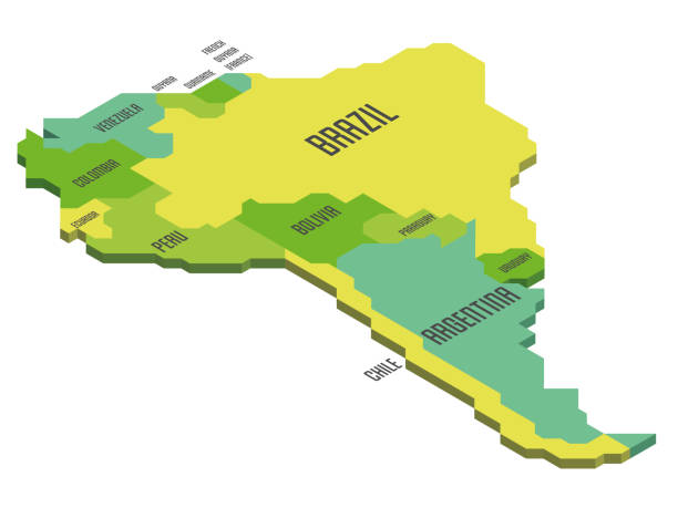
Isometric political map of South America. Colorful land with country name labels on white background. 3D vector illustration

Central America - high detailed political map Central American and Caribbean region with country, ocean and sea names labeling.
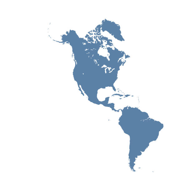
Map of North and South America, sign silhouette. World Map Globe. Vector Illustration isolated on transparent background. American continent.

World dot map with Brazil highlighted showing sphere of influence.

Abstract vector illustration of world network. File organized with layers. Global colors used.
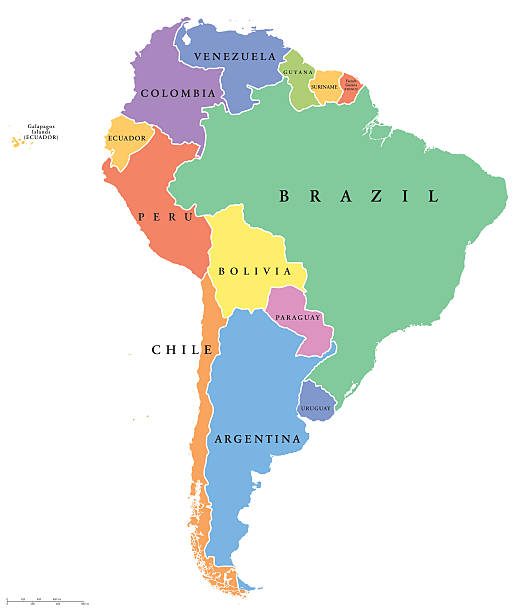
South America single states political map. All countries in different colors, with national borders and country names. English labeling and scaling. Illustration on white background.