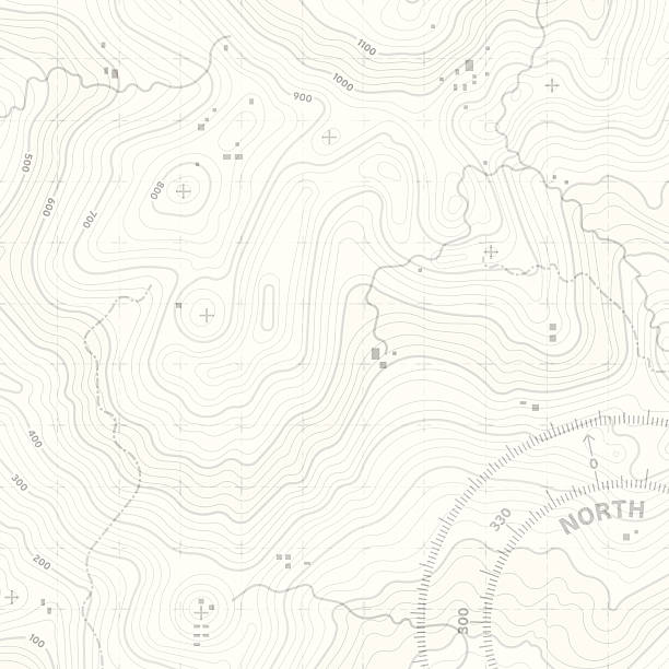
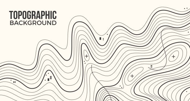
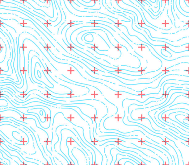
Topographic map background concept with space for your copy. EPS 10 file. Transparency effects used on highlight elements.
Browse 2,000+ map marker line stock illustrations and vector graphics available royalty-free, or start a new search to explore more great stock images and vector art.
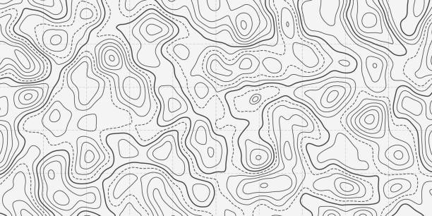
Topographic map background concept with space for your copy. EPS 10 file. Transparency effects used on highlight elements.
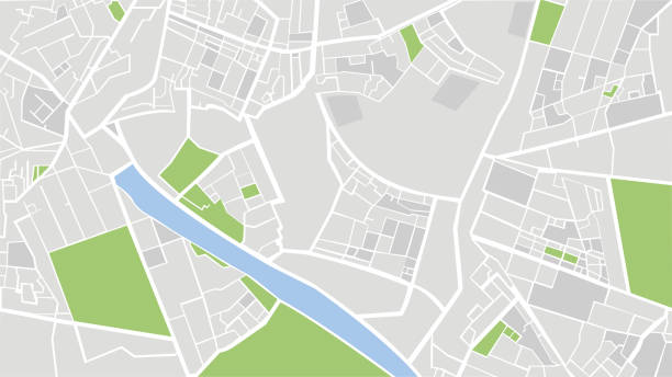
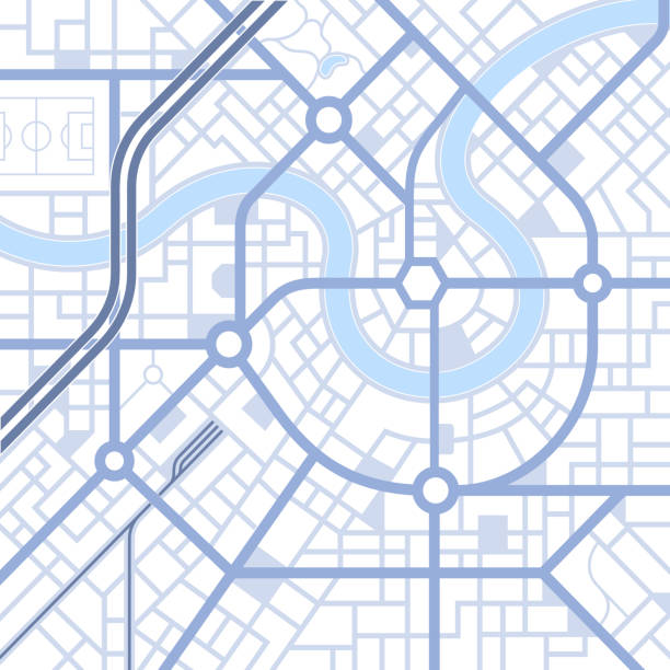
City urban roads and streets abstract map downtown district map.
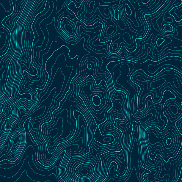
Isoline topographic lines background abstract design.
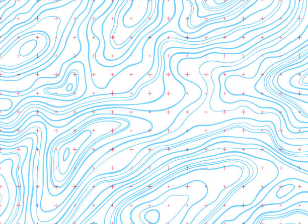
Topographic map lines background.
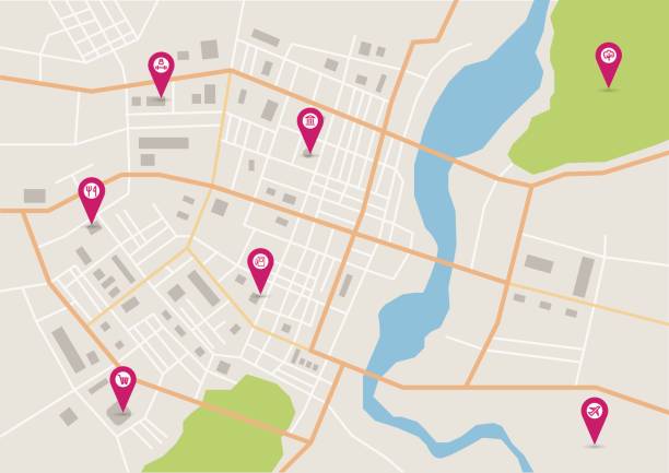
GPS map. City street road. Abstract transportation. City top view. Hi-tech vector background. route distance data, path turns and destination tag or mark. Quarter residential buildings. Vector

Abstract street map background road map design.
Gps map navigation to own house.View from above the map buildings. Detailed view of city from above. City top view. Abstract background. Decorative graphic tourist map. Quarter residential buildings. Cute simple design. Flat style, Vector, illustration isolated.
Gps tracking map. Abstract isometric location tracks dashboard. Track navigation pins on street maps, navigate mapping technology and locate position pin. Futuristic travel gps map or location navigator vector illustration
Topographic map abstract background concept illustration.

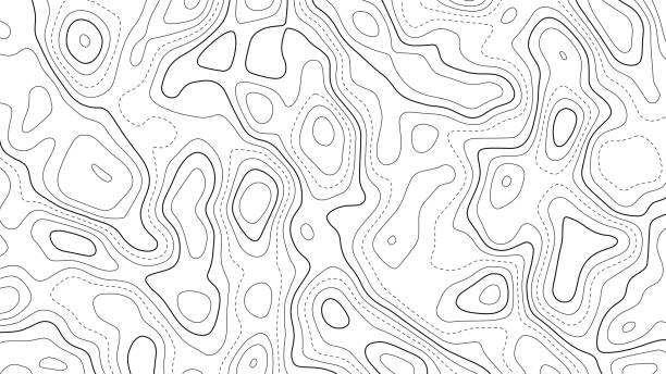
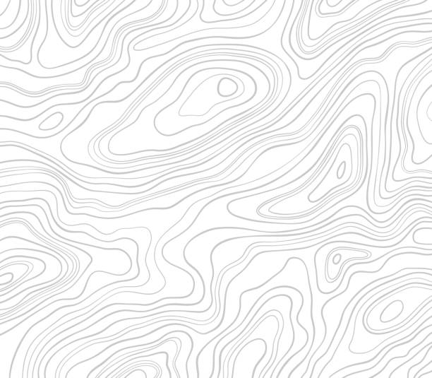
Topographic abstract background lines pattern.
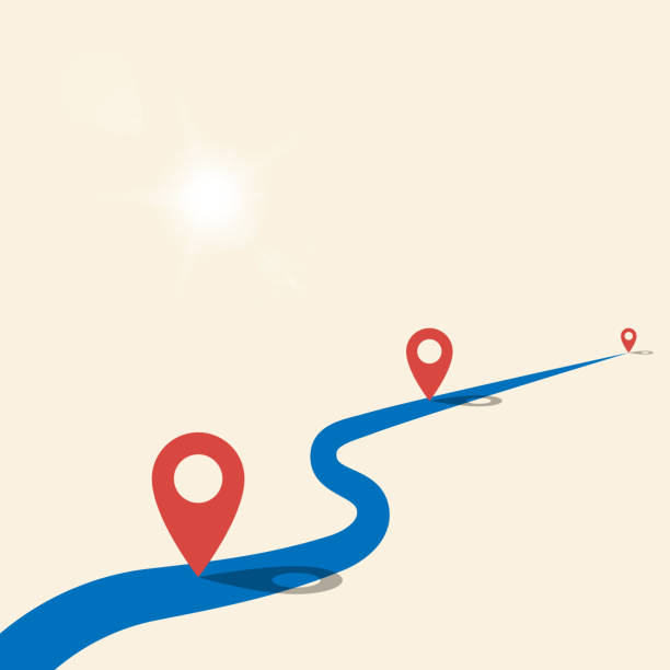
Road and pins. Business project milestones road concept. Start of the road and path with red markers. Blue road on yellow desert with bright sun and gps pins on the route.

Location tracks dashboard. City street road. City streets and blocks, route distance data, path turns and destination tag or mark. Huge city top view. Isometric

City urban street roadway driving network background pattern design element representing traffic and road congestion.
GPS navigation to pins and multiple markers on route. City map featuring directional signs, an intended goal point. Abstract plan highlights POI city streets. Vector illustration includes designated route, alternative paths.
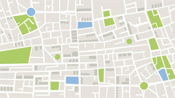
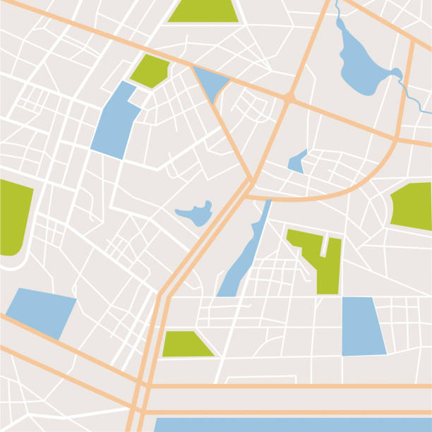
Vector illustration of top view of city details with technological map. In this map, the white color represents the roads in the city, the gray color represents the buildings and apartments, the green color represents the green areas such as parks and gardens, and the blue color represents the wet areas of the city. Location and navigation concepts.
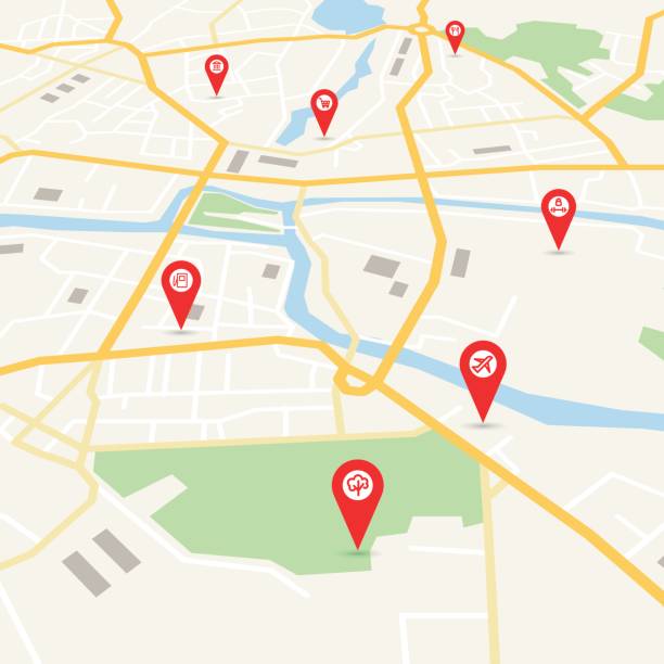
Vector flat abstract city map, with pin pointers and infrastructure icons
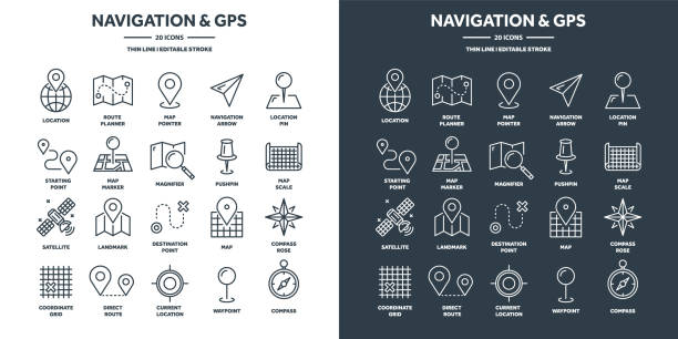
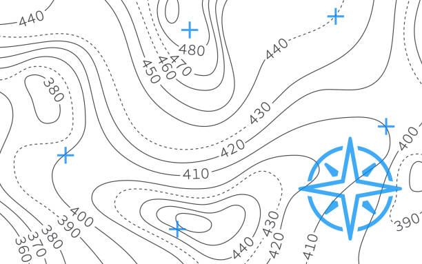
Navigation map and geolocation, GPS positioning. Coordinate grid quadrants, cardinal points, location finder. Travel route and waypoints planning. Thin line web icons set. Vector illustration.

Map city, gps navigator. City area vector background map, streets and water cartography illustration. Widescreen proportion, digital flat design streetmap. Top view. Abstract transportation. Detailed view of city from above.
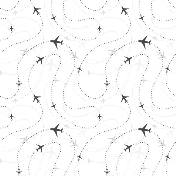
Airline routes with planes icons on white, seamless pattern

Isometric Gps map navigation to own house. View from above the map buildings. Detailed view of city from above. City top view. Abstract background. Decorative graphic tourist map. Quarter residential buildings. Cute simple design. Flat style, Vector, illustration isolated.

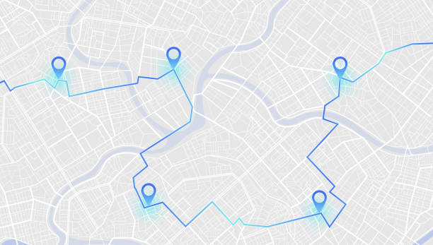
Concept of planning and mapping a travel route using a general city map with streets and roads marked. Abstract navigation plan of the urban area depicted as a simple scheme with buildings. Colorful flat vector illustration
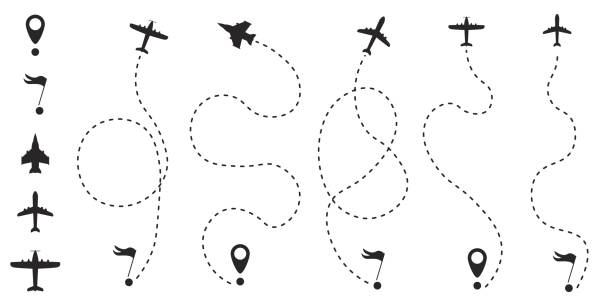
Airplane route in dotted line shape. A route from a line in the form of points. Travel concept vector illustration.

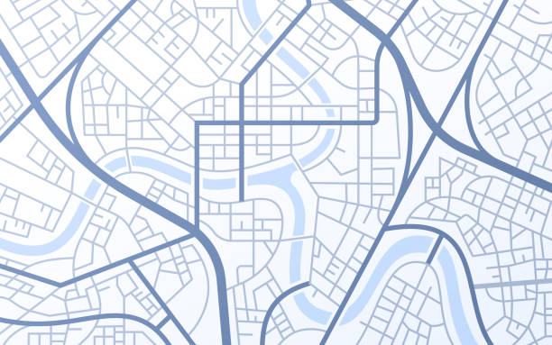
Abstract folded road map with river and city streets.
Navigation, location marker, cursor thin line icon. Linear vector illustration. Pictogram isolated on white background

Detailed view of city from above. City top view. Abstract map with unique lines, geometric patterns form cartographic background. Huge city top view. Streets and blocks, route for movement on the streets of the city. Vector illustration
Ocean topographic line map with curvy wave isolines vector illustration. Sea depth topographic landscape surface for nautical radar readings. Cartography texture abstract banner of relief ocean floor.
Topographic lines abstract smooth pattern background.

City urban roads and streets abstract map downtown district. Geolocation your location on map with river and grid. Concept of planning and mapping a travel. Flat vector illustration.
Topographic lines flowing heights horizontal elevation background.

Realistic topographic map with brown contour lines, elevation marks, and natural green terrain features with river. Ideal for geographic, educational, or design projects. 16:9

Green topographic map background concept with space for your copy. NO GRADIENT MESH. EPS 10 file. Transparency effects used on highlight elements.
Map and navigation 25 line icons vector
Roads and Highways Icon collection containing 16 editable stroke icons. Perfect for logos, stats and infographics. Edit the thickness of the line in any vector capable app.

Abstract Map Background. Colorful abstract lines and geometric shapes for dynamic cartographic texture. Ideal for web design, presentations, and advertising projects. Vector illustration. Suitable for print and digital media. High-quality and customizable.

Airplane route in dotted line shape. A route from a line in the form of points. Travel concept vector illustration.

Creative vector illustration of railway station map, metro road infographic, train railroad route rail track, isolated on transparent background. Art design template. Abstract concept graphic element.

Abstract vector city map, flat style in perspective and sample text
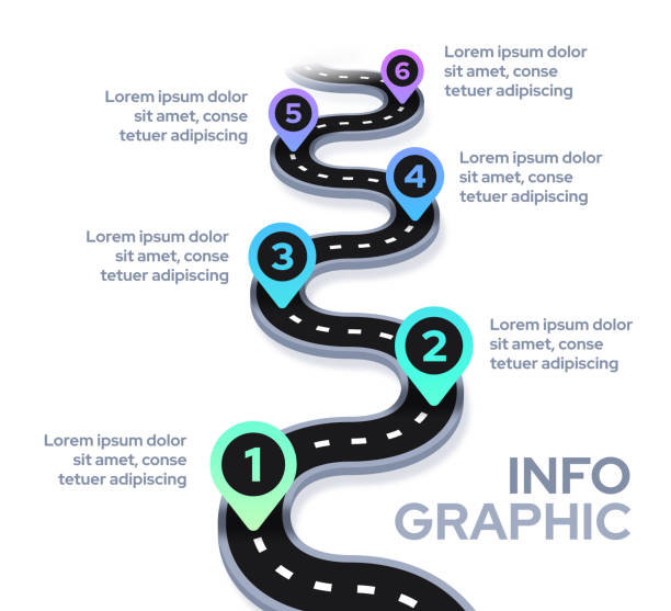
Road path progress timeline moving forward infographic design.

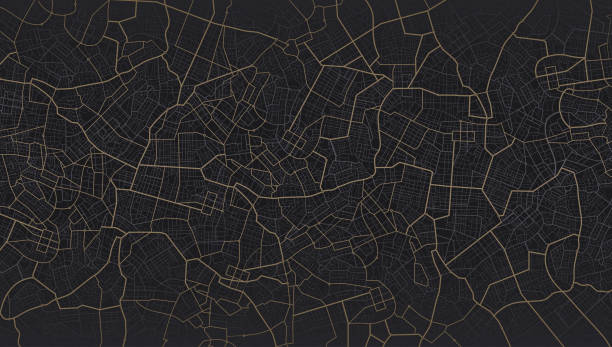
Black city area, background map, streets. City top view. View from above the map. Skyline urban panorama. Cartography illustration. Widescreen proportion, digital flat design streetmap. Vector
Vector flat abstract city map in perspective, with pin pointers and infrastructure icons

City Exploration Unveiled: Stylish Blue City Layout with Cartographic Illustration. Widescreen Proportions, Modern Flat Design Streetmap. Perfect for Websites, Presentations, and Visual Storytelling. Vector Illustration.

Ocean topographic line map with curvy wave isolines vector illustration. Sea depth topographic landscape surface for nautical radar readings. Cartography texture abstract banner of relief ocean floor.

Airline routes on worldwide map, blue and white infographic illustration

Main road throughout map. Isometric Navigation mapping technology for obtaining data on distance and turns of the path. The path from a point to the intended goal, many destinations, signs. City streets and blocks, route distance data, path turns and destination tag or mark. Vector, illustration.