
Illustrations
6,872 Illustrations
View mi vectors videos
Browse 6,800+ mi vectors stock illustrations and vector graphics available royalty-free, or start a new search to explore more great stock images and vector art.
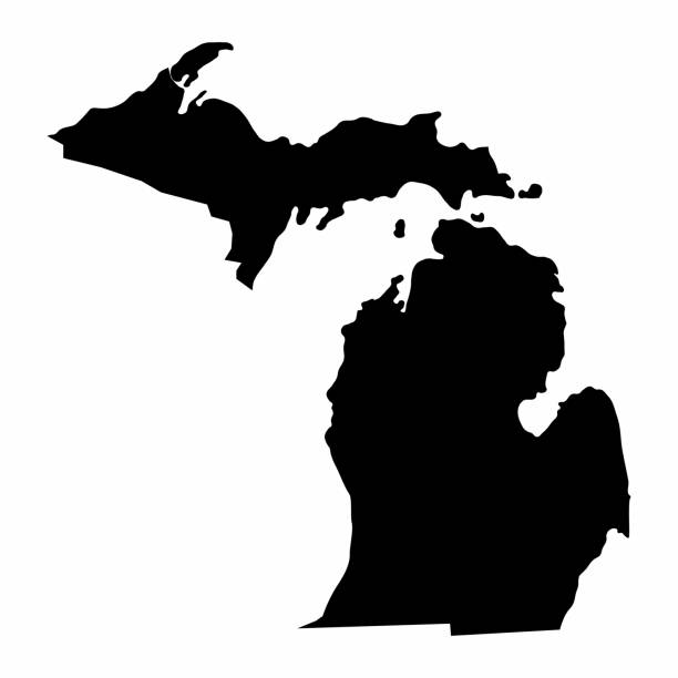
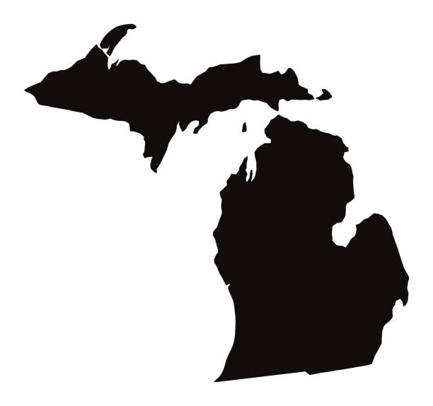
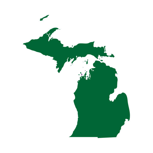
Michigan State dark silhouette map isolated on white background
Michigan outline state of USA. Map in black and white color options. Vector Illustration.


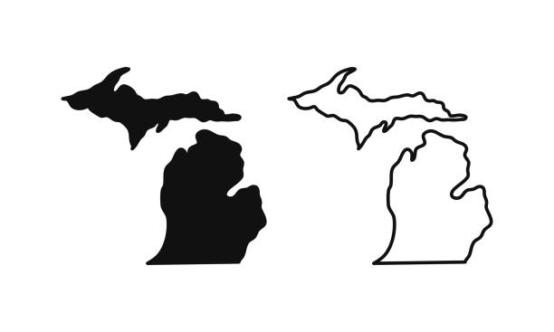
Vector outline map of Michigan state of the United States
Highly detailed map of Michigan for your design and products.
Michigan - States of USA Outline Map Vector Template Illustration Design. Editable Stroke. Vector EPS 10.

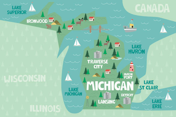
Illustrated map of the state of Michigan in United States with cities and landmarks. Editable vector illustration
Vector of Highly Detailed Map of Michigan State of the United States of America - The url of the reference file is : https://www.cia.gov/library/publications/the-world-factbook/graphics/ref_maps/pdf/united_states.pdf
Vector illustration of blue Michigan icons.
Michigan map shape, united states of america. Flat concept icon symbol vector illustration .

set of United State street sign. (carolina,oklahoma,albama,kansas,new york,ohio,dallas,florida,brooklyn,missouri). easy to modify

Map of Michigan cut out on a blank white paper with a blue background. Modern and trendy paper cutout effect. Vector Illustration (EPS file, well layered and grouped). Easy to edit, manipulate, resize or colorize. Vector and Jpeg file of different sizes.


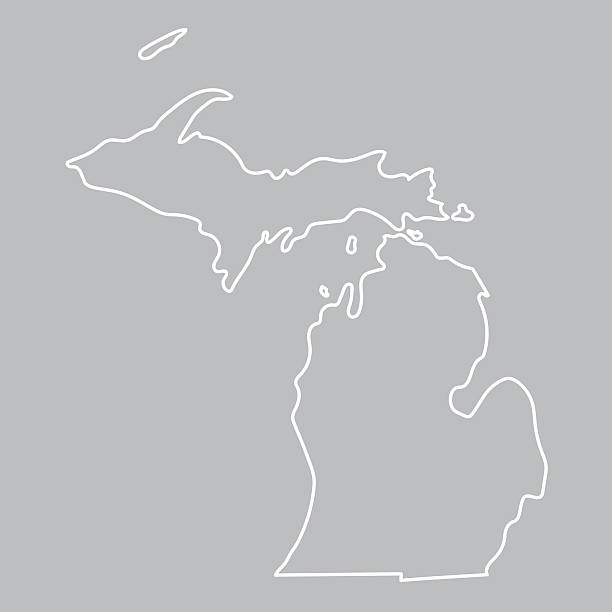
white abstract outline of Michigan map on grey background

Michigan travel poster or sticker. Retro style vector illustration of sandstone cliffs on Lake Superior shoreline.

Detailed state-county map of Michigan.

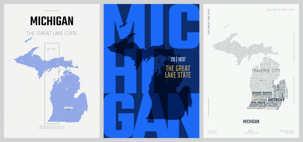
Michigan State Shape w Farm at Sunset with Windmill, Barn, and a Tree
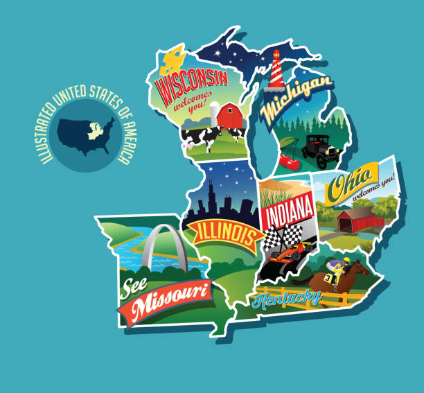
Illustrated pictorial map of Midwest United States. Includes Wisconsin, Michigan, Missouri, Illinois, Indiana, Kentucky and Ohio. Vector Illustration.


vector illustration of Michigan map

Stylized red sketch map of Michigan illustration vector
This abstract dotted map of Michigan is accurately prepared by a GIS and remote sensing expert using the overlaid vector map of the Michigan with highly detailed information.

vector of the Michigan map

Michigan Map Vector Illustration Design Template. Vector eps 10.

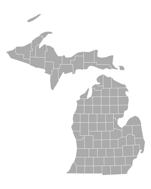
Michigan counties, gray political map. A state in the Great Lakes region of the Upper Midwest of the United States, subdivided into 83 counties. Map with county boundaries and names. Illustration

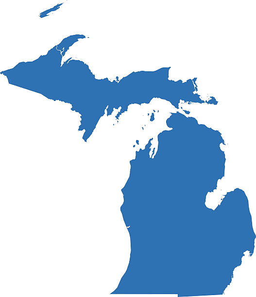
Blue map of Michigan isolated on white background. Vector illustration eps10.

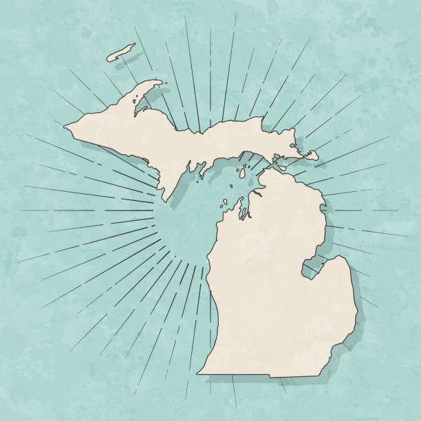
Map of Michigan in a trendy vintage style. Beautiful retro illustration with old textured paper and light rays in the background (colors used: blue, green, beige and black for the outline). Vector Illustration (EPS10, well layered and grouped). Easy to edit, manipulate, resize or colorize.
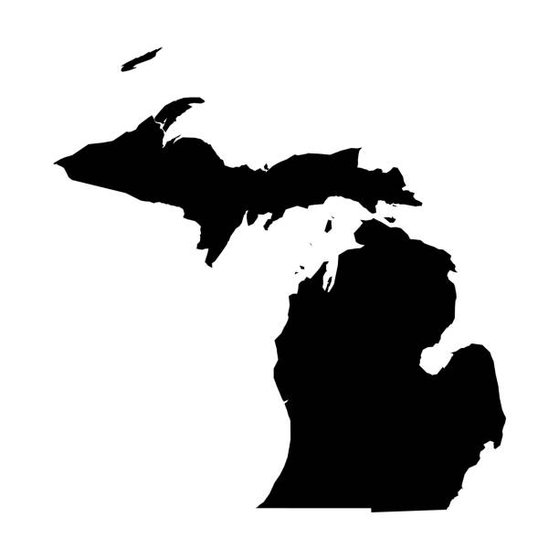
Michigan, state of USA - solid black silhouette map of country area. Simple flat vector illustration.

Lighthouse at the night, storm sea, sign or symbol, vector illustration

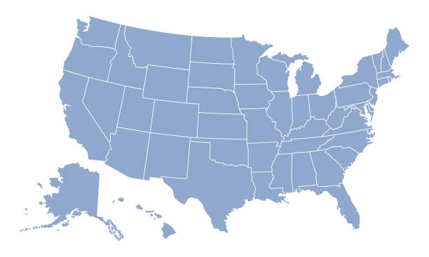
map of the U.S. state of Michigan

gradient Michigan map- vector illustration


A silhouette of Detroit Michigan as seen from Windsor Ontario Canada. Spanning from the Ambassador Bridge to the downtown core.

Abstract - High Detailed blue Map of Michigan isolated on white background. for your web site design map logo, app, ui, Travel. Vector illustration eps10.

Highly detailed Michigan map for your design and products.
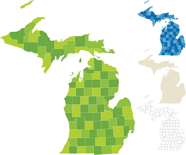
"Highly-detailed Michigan county map. Each county is in it's own separate labeled layer. All layers have been alphabetized for easy manipulation, recoloring or other use. (see image below -- note: labels only available in AICS2 and AI10 files)"
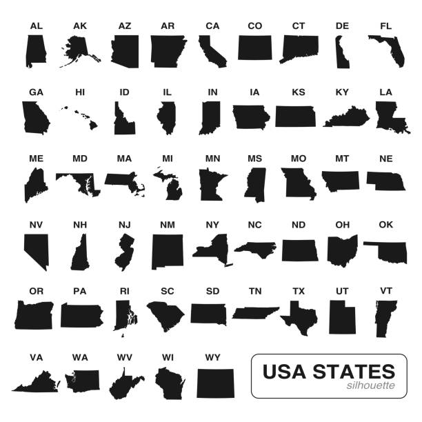
Editable vector of all 50 USA states maps black silhouette collection. Travel and commerce related concept illustration

Michigan US state red outline map with the handwritten heart shape. Continuous line drawing of patriotic home sign. A love for a small homeland. T-shirt print idea. Vector illustration.

Welcome to Michigan vintage rusty license plate on a white background, vector illustration


USA state set of text map for print design. Vector graphic design. Typography map. Icon vector. Vintage modern poster typography. USA state name. United States of America with text state names

vector illustration of Michigan map

The maps are accurately prepared by a GIS and remote sensing expert.


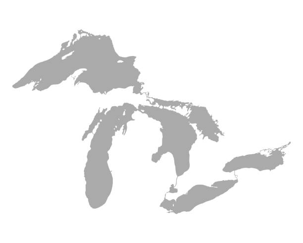
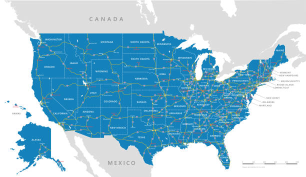
Vector graphic of the North American great lakes and their neighboring countries
Vector isolated illustration icon with simplified blue map's silhouette of State of Michigan (USA). Polygonal geometric style. White background.

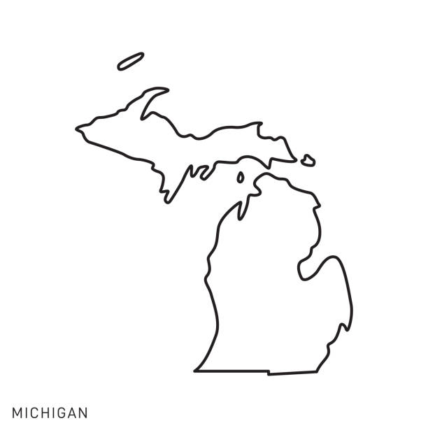
Detailed outline map of Michigan with capital

Upgrade your projects with our premium Michigan state map vector featuring a sleek flat design. This meticulously crafted vector graphic is fully scalable, guaranteeing sharp details at any size, perfect for digital and print applications alike. Ideal for designers, educators, and web developers seeking a versatile Michigan map. Instant digital download available. Keywords: Michigan vector map, flat design, scalable, state map, Michigan graphic, digital map, printable, download.
of100Next