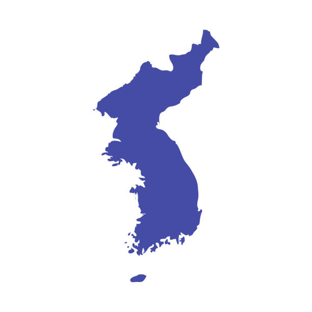
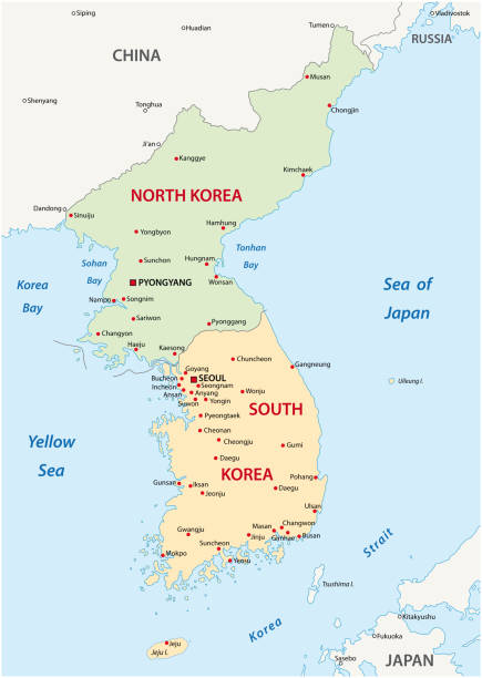
Map of the Korean peninsula including North and South Korea and major cities.
Browse 2,700+ north korea map stock illustrations and vector graphics available royalty-free, or search for north korea flag or us map to find more great stock images and vector art.
Map of the Korean peninsula including North and South Korea and major cities.
North and South Korea vector map isolated on transparent background.

North Korea and South Korea political map with capitals Pyongyang and Seoul. Korean peninsula, national borders, important cities, rivers and lakes. English labeling and scaling. Illustration.Illustration.
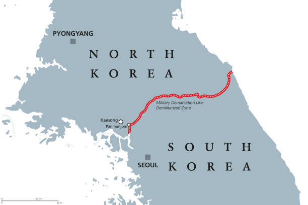
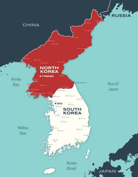
Korean Peninsula, Demilitarized Zone Area, political map. North and South Korea with red Military Demarcation Line, capitals and borders. English labeling. Gray illustration, white background. Vector.

Detailed vector map of North Korea, including main cities, roads, rivers and lakes. The colors in the .eps-file are ready for print (CMYK). Included files are EPS (v10) and Hi-Res JPG (4922 x 4922 px).
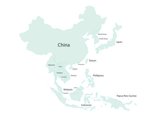
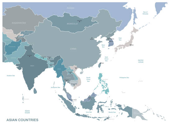
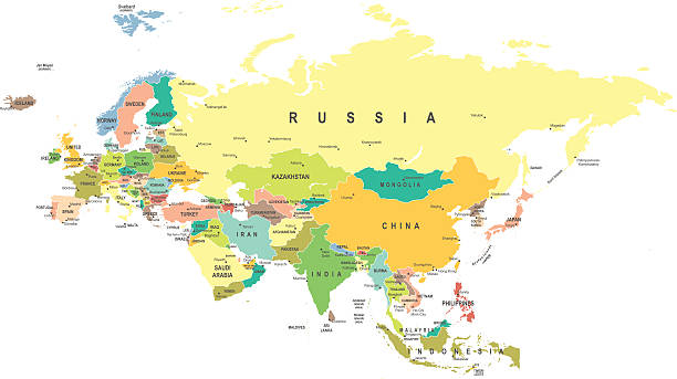
Vector illustration of a map of Asia and all its countries with their names. Cut out design element on a white background.
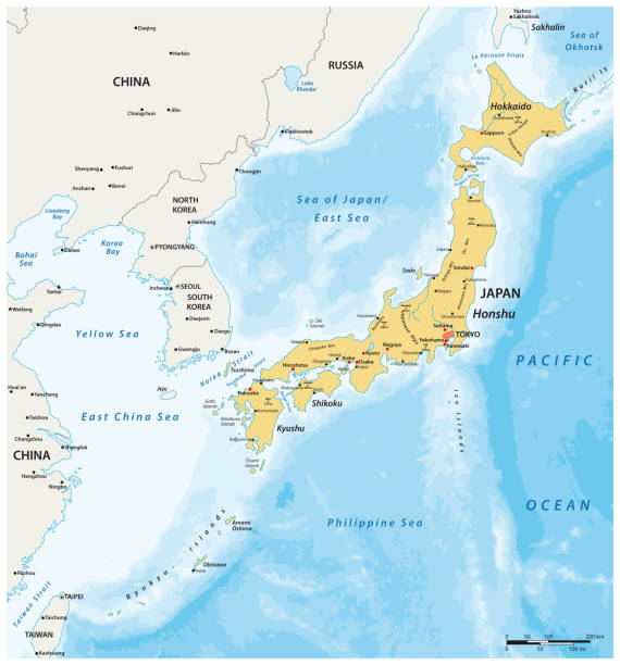
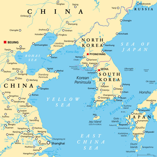
Highly detailed vector map of East Asia with countries, capitals and big cities.
korean peninsula vector map
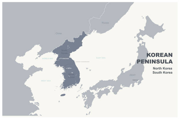
Korean Peninsula region, political map. Peninsular region Korea in East Asia, divided between the 2 countries North and South Korea, bordered by China and Russia, separated from Japan by Korea Strait.

North korea and South korea country map and flag, vector illustration.

Vector illustration of a map of Asia and all its countries

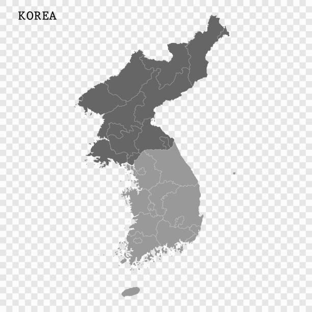
Korea peninsula detailed editable map with countries capitals and cities. Vector EPS-10 file

vector illustration of North Korea map

North Korea - highly detailed blue map. Vector illustration

Tumen river flowing on Noktundo into Sea of Japan, political map. Tripoint in the Tumen river, where borders of China, North Korea and Russia intersect near Khasan, on disputed former island Noktundo.

Map link URL: https://legacy.lib.utexas.edu/maps/world_maps/united_states_foreign_service_posts-september_2011.pdf. Some urban locations were taken from: https://legacy.lib.utexas.edu/maps/world_maps/txu-oclc-264266980-world_pol_2008-2.jpg. The image was created in Adobe Illustrator in eps10 format
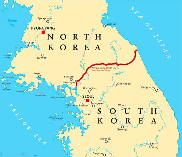
Korean Peninsula, Demilitarized Zone, political map. North and South Korea with Military Demarcation Line, capitals, borders, most important cities and rivers. English labeling. Illustration. Vector.
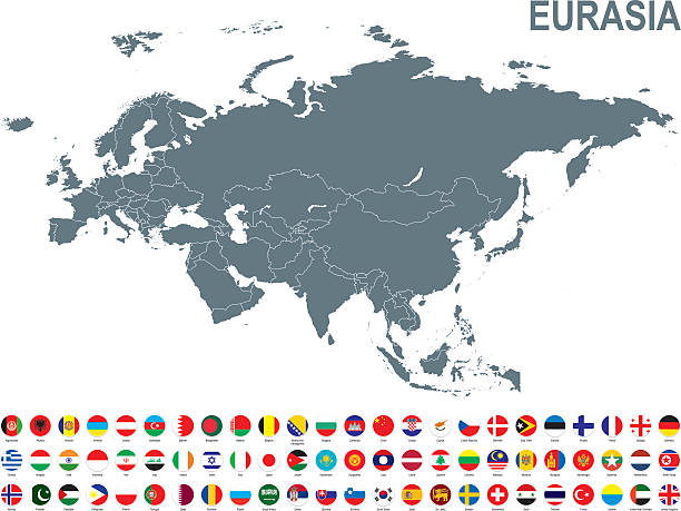
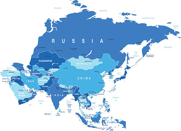
Eurasia map - highly detailed vector illustration
Asia map - highly detailed vector illustration

North Korea political map with capital Pyongyang, national borders, important cities, rivers and lakes. English labeling and scaling. Illustration.

High quality political map of South Korea and North Korea with borders of the regions or provinces. Vector illustration

South Korea map, black and white detailed outline regions of the country. Vector illustration

Vector illustration in HD very easy to make edits.
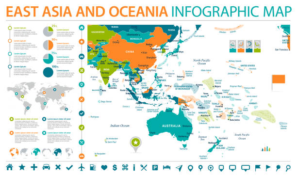
East Asia and Oceania Map - Detailed Info Graphic Vector Illustration

Eurasia map - highly detailed vector illustration

Black basic map of North Korea with flag against white background The url of the reference to political map is: http://legacy.lib.utexas.edu/maps/middle_east_and_asia/korea_north_pol_2005.jpg Layers of data used: flag, map

3d North Korea white map with regions isolated on white background

Map of North Korea created with a mesh of thin bright blue lines and glowing dots, isolated on a dark blue background. Conceptual illustration of networks (communication, social, internet, ...). Vector Illustration (EPS10, well layered and grouped). Easy to edit, manipulate, resize or colorize.

Map of East Asia - illustration
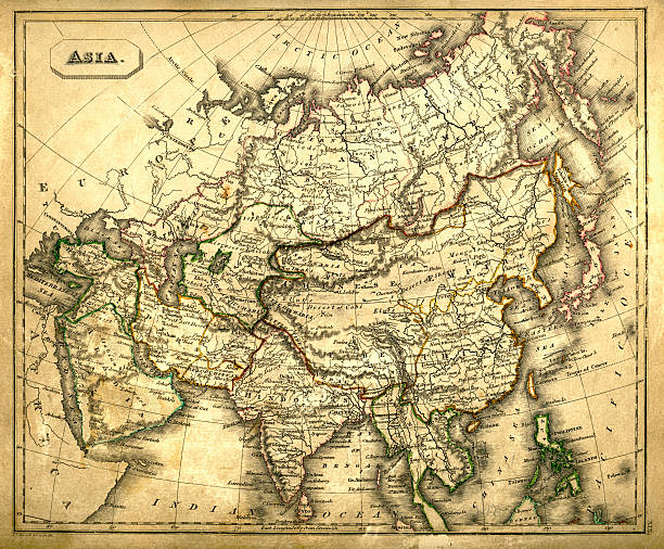
Vintage map of Asia fron 1837

Korean Peninsula region, gray political map. Peninsular region Korea in East Asia, divided between North and South Korea, bordered by China and Russia, and separated from Japan by the Korea Strait.

Highly detailed vector map of Korean peninsula with administrative regions,main cities and roads.

North Korea on the world map. Shot with light depth of field focusing on the country.

Technology vector map of North Korea, connection futuristic modern website background or cover page .

Business map of North Korea modern design with abstract digital technology mesh polygonal shapes on dark blue background. Vector Illustration EPS10

World Countries line pattern vector maps series.

Map of the Korean Peninsula, Filled with the South and the North Korea Flag.
© 2025 iStockphoto LP. The iStock design is a trademark of iStockphoto LP. Browse millions of high-quality stock photos, illustrations, and videos.
Do Not Sell or Share