
Illustrations
Browse 900+ quadrant diagram stock illustrations and vector graphics available royalty-free, or search for 4 quadrant diagram to find more great stock images and vector art.

Topographic / Road map of Tallinn, Estonia. Map data is open data via openstreetmap contributors. All maps are layered and easy to edit. Roads are editable stroke.

Astronomical Instruments Engraving Antique Illustration, Published 1851. Source: Original edition from my own archives. Copyright has expired on this artwork. Digitally restored.

Topographic / Road map of Prague, Czechia.

Geometric cube of 8 smaller isometric cubes. Abstract design element. Science or construction concept. Black outline 3D vector object.

Poster Style Topographic / Road map of Kraków, Poland. Original map data is open data via © OpenStreetMap contributors. All maps are layered and easy to edit. Roads are editable stroke.

Topographic / Road map of Austin, TX, USA.

Infographic template for business process. Thin line design with numbers 5 options or steps. Vector illustration graphic design.

Poster style topographic / Road map of Lexington, Kentucky, USA . Map data is open data via openstreetmap contributors. All maps are layered and easy to edit. Roads are editable stroke.
eisenhower matrix infographic template banner with big rectangle thick outline with arrow in matrix with icon for slide presentation vector

Quote frames. Blank template with print information design quotes. Vector stock illustration

Topographic / Road map of Edmonton, Alberta, Canada. Map data is open data via openstreetmap contributors. All maps are layered and easy to edit. Roads are editable stroke.

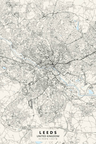
Poster Style Topographic / Road map of Leeds, United Kingdom. Map data is open data via openstreetmap contributors. All maps are layered and easy to edit. Roads are editable stroke.

Poster Style Topographic / Road map of Birmingham, United Kingdom. Map data is open data via openstreetmap contributors. All maps are layered and easy to edit. Roads are editable stroke.

Poster Style Topographic / Road map of Tbilisi, Georgia. Map data is open data via openstreetmap contributors. All maps are layered and easy to edit. Roads are editable stroke.

Topographic / Road map of Chiang Mai, Thailand. Original map data is open data via © OpenStreetMap contributors. All maps are layered and easy to edit. Roads are editable stroke.

Geometric cube of 8 smaller isometric cubes in CMYK colors. Abstract design element. Science or construction concept. 3D vector object.


Flywheel infographic process diagram with creative piechart slice cut on quadrant structure with dark background bright outline style 4 points vector

Glass infographic. Vector illustration.

bcg growth share matrix infographic data template with big circle center and box outline concept for slide presentation vector

Solved jigsaw puzzle of four pieces. Team cooperation, teamwork or solution business theme. Simple flat vector illustration with black outline on white background.

bcg growth share matrix infographic data template with chart and circle information points concept for slide presentation vector

circular graph icon divided into four segments with one highlighted in red, representing data visualization.

Topographic / Road map of Odesa, Ukraine. Map data is open data via openstreetmap contributors. All maps are layered and easy to edit. Roads are editable stroke.


Topographic / Road map of Liverpool, England. Map data is open data via openstreetmap contributors. All maps are layered and easy to edit. Roads are editable stroke.

Topographic / Road map of Munich, Germany. Original map data is open data via © OpenStreetMap contributors. All maps are layered and easy to edit. Roads are editable stroke.
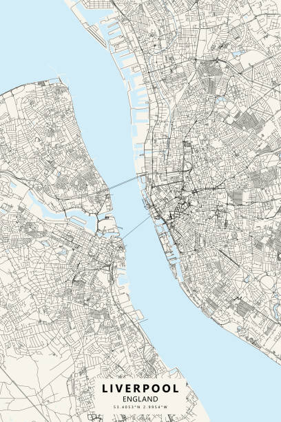
Poster Style Topographic / Road map of Liverpool, England. Map data is open data via openstreetmap contributors. All maps are layered and easy to edit. Roads are editable stroke.

Topographic / Road map of Bangor, Maine, USA. Map data is open data via openstreetmap contributors. All maps are layered and easy to edit. Roads are editable stroke.

Very Rare, Beautifully Illustrated Antique Engraving of Interior of The Mixed Cloth Hall Textile Mill, Leeds, England Victorian Engraving from Our Own Country, Great Britain, Descriptive, Historical, Pictorial. Published in 1880. Copyright has expired on this artwork. Digitally restored.

Poster Style Topographic / Road map of Brussels, Belgium. Original map data is open data via © OpenStreetMap contributors. All maps are layered and easy to edit. Roads are editable stroke.

Topographic / Road map of Glasgow, Scotland. Map data is open data via openstreetmap contributors. All maps are layered and easy to edit. Roads are editable stroke.

Vector graphics infographics with two options. Template for creating mobile applications, workflow layout, diagram, banner, web design, business reports with 2 steps. Stock vector
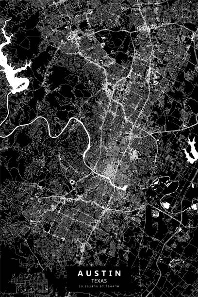
Poster Style Topographic / Road map of Austin, TX, USA.

INFOGRAPHICS design elements vector illustration EPS10. Contains transparent objects used for shadows drawing, glare and background. Background to give the gloss.

Poster Style Topographic / Road map of Kraków, Poland. Original map data is open data via © OpenStreetMap contributors. All maps are layered and easy to edit. Roads are editable stroke.

Journey plan vector infographic template. Tour guide presentation design elements with text space. Data visualization with 5 steps. Process timeline chart. Workflow layout with copyspace

Purple circle illustration. Magenta color shades. Four segments chart. Vector geometric graphic. EPS 10.

Pie chart city and forest

Topographic / Road map of Austin, TX, USA.

Topographic / Road map of Nice, France. Map data is open data via openstreetmap contributors. All maps are layered and easy to edit. Roads are editable stroke.


Topographic / Road map of Dongguan, China. Map data is open data via openstreetmap contributors. All maps are layered and easy to edit. Roads are editable stroke.

Arrows moving up colorful style infographic template for presentation, web site vector 10 eps


Astronomical Instruments Engraving Antique Illustration, Published 1851. Source: Original edition from my own archives. Copyright has expired on this artwork. Digitally restored.

Topographic / Road map of Montpellier, France. Map data is open data via openstreetmap contributors. All maps are layered and easy to edit. Roads are editable stroke.


Plotting line by connecting points on Cartesian plane. Bidimensional coordinate system with X and Y axises. Blue grid paper background. Vector graphic illustration.