
Illustrations
Browse 60+ san francisco neighborhood map stock illustrations and vector graphics available royalty-free, or start a new search to explore more great stock images and vector art.

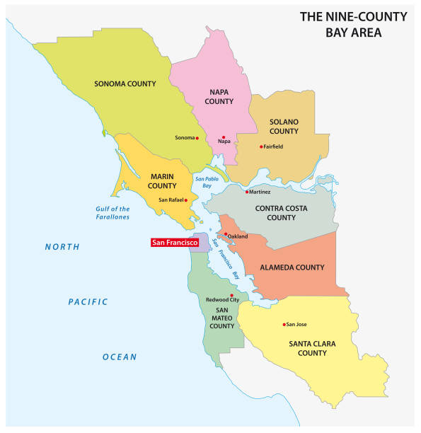
San Francisco city, administrative map isolated on white background, California, USA

Vector poster map city San Francisco. Original map data is open data via © OpenStreetMap contributors

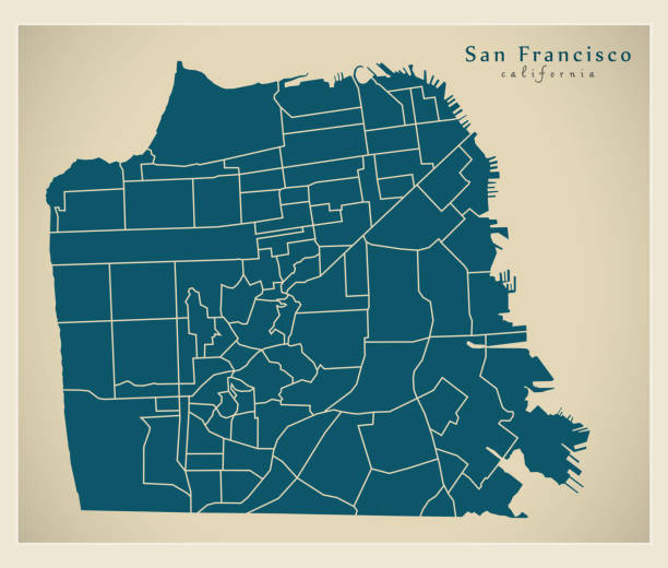
The administrative map of San Francisco city with labels, California, USA

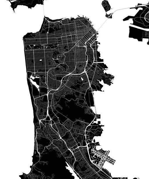
The black and white administrative maps of San Francisco city, California, USA


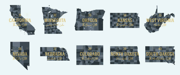
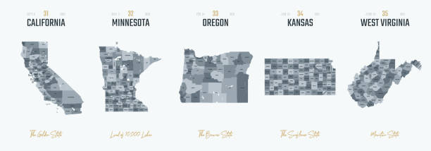
State of California divided into counties, outline map. State in the Western United States on the Pacific Coast, subdivided into 58 counties. Black and white map with county boundaries and names.

San Francisco city map. Map data © OpenStreetMap contributors.
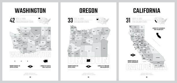


California state counties, gray political map. U.S. state of California subdivided into 58 counties, with San Bernardino County as largest and Los Angeles County as most populous in the United States.

San Francisco City ( United States cities, United States of America, usa city) map vector illustration, scribble sketch City of San Francisco (SF) map


San Francisco city map. Map data © OpenStreetMap contributors.


California, U.S. state, multi colored political map with borders, county names and its capital Sacramento. State in the Western United States on the Pacific Coast, subdivided into 58 counties.

Vector of Detailed Map of Calfornia State with County Divisions https://legacy.lib.utexas.edu/maps/states/california.gif

State of California counties, political map. U.S. state of California, subdivided into 58 counties, with San Bernardino County as largest and Los Angeles County as most populous in the United States.

Antique illustration of a Map of San Francisco


World Time Clocks. Current Time in Famous World Cities. Hotel or Stock Exchange Wall Clocks. Local Time Around the World. World Dotted Map on Background. Realistic Vector Illustration


California, state of USA - solid black outline map of country area. Simple flat vector illustration.


San Francisco city map. Map data © OpenStreetMap contributors.


San Francisco city map. Map data © OpenStreetMap contributors.

San Francisco City ( United States cities, United States of America, usa city) map vector illustration, scribble sketch City of San Francisco (SF) map

Map of San Francisco County - California, with a large group of people. The faces are blue and red and represent patriots. The color blue for the Democratic Party and the color red for the Republican Party. Conceptual creative map, can symbolize the unity, cooperation, teamwork, patriotism... Vector Illustration (EPS file, well layered and grouped). Easy to edit, manipulate, resize or colorize. Vector and Jpeg file of different sizes.

California, state of USA - solid black silhouette map of country area. Simple flat vector illustration.


San Francisco city map. Map data © OpenStreetMap contributors.


San Francisco city map. Map data © OpenStreetMap contributors.

San Francisco city map. Map data © OpenStreetMap contributors.

San Francisco City ( United States cities, United States of America, usa city) map vector illustration, scribble sketch City of San Francisco (SF) map

San Francisco city (United States of America, USA, U.S., US, United States cities, usa city) - map is designed cannabis leaf green, City of San Francisco map made of marijuana (marihuana,THC) foliage,


San Francisco city map. Map data © OpenStreetMap contributors.

3d verctor map of cities and roads in North America. USA and its neighbors.
of2Next