Illustrations
Silhouette Of A Eritrea stock illustrations
Browse 250+ silhouette of a eritrea stock illustrations and vector graphics available royalty-free, or start a new search to explore more great stock images and vector art.
Most popular

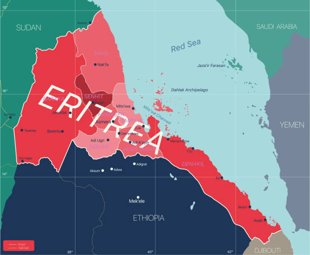
Eritrea country detailed editable map with regions cities and towns, roads and railways, geographic sites. Vector EPS-10 file
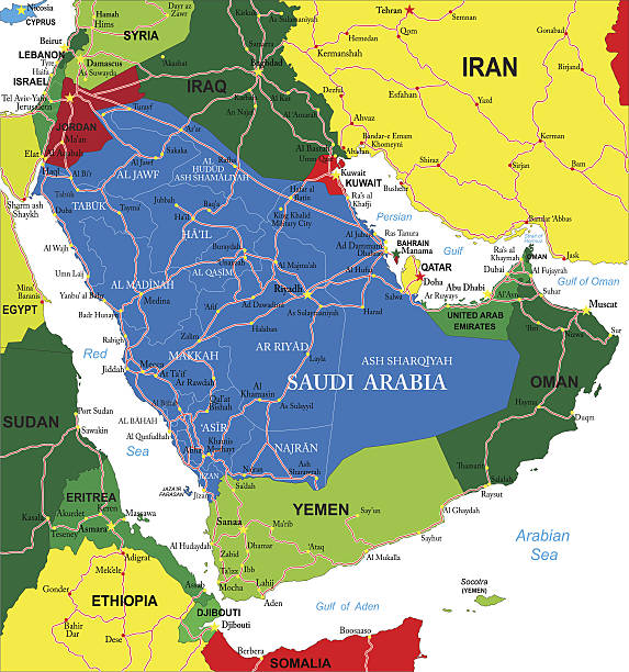
Detailed map of Saudi Arabia.


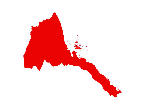
Eritrea Map Silhouette Black Vector illustration eps 10.


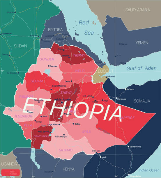
Ethiopia country detailed editable map with regions cities and towns, roads and railways, geographic sites. Vector EPS-10 file
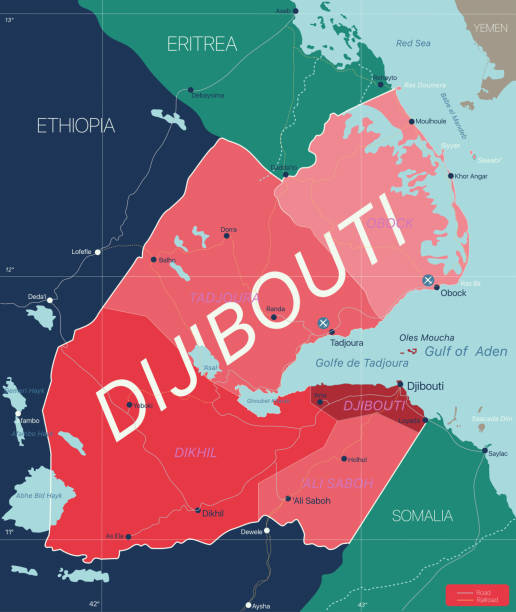
Dijibouti country detailed editable map with regions cities and towns, roads and railways, geographic sites. Vector EPS-10 file
An Eritrea map on white background with clipping path to remove shadow 3d illustration
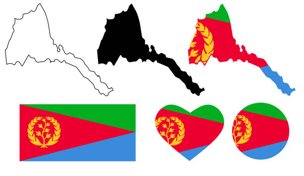
Set of high detailed map flag and national flag round badge.
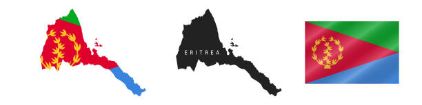
State of Eritrea map flag icon set isolated on white background

Colourfull Skyline panorama of city of Asmara, Eritrea - vector illustration

Black and white men silhouettes standing in front of an Eritrean flag


Detailed Map of Eritrea With States and Cities, can be used for business designs, presentation designs or any suitable designs.
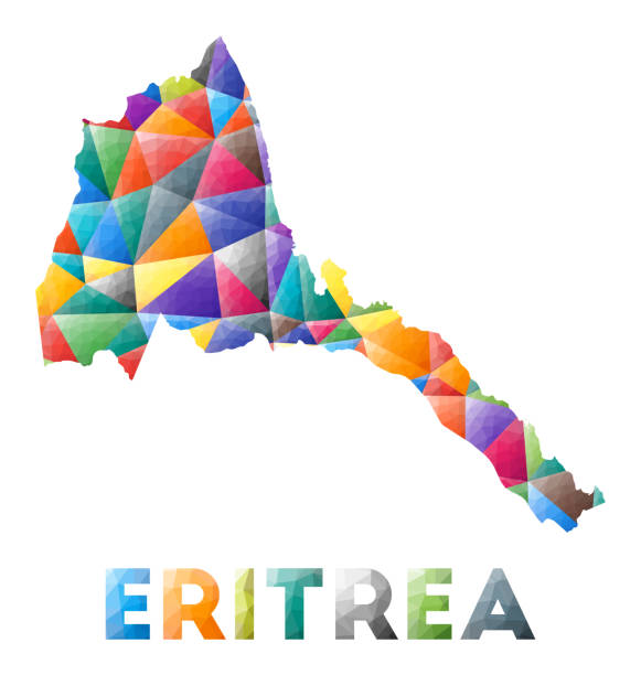
Eritrea - colorful low poly country shape. Multicolor geometric triangles. Modern trendy design. Vector illustration.

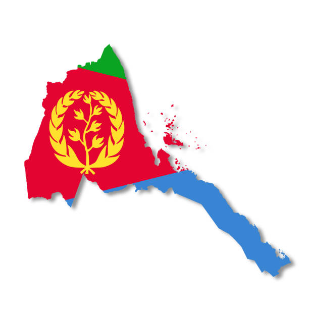
Eritrea. Map with masked flag. Detailed silhouette. Waving flag. Vector illustration isolated on white.
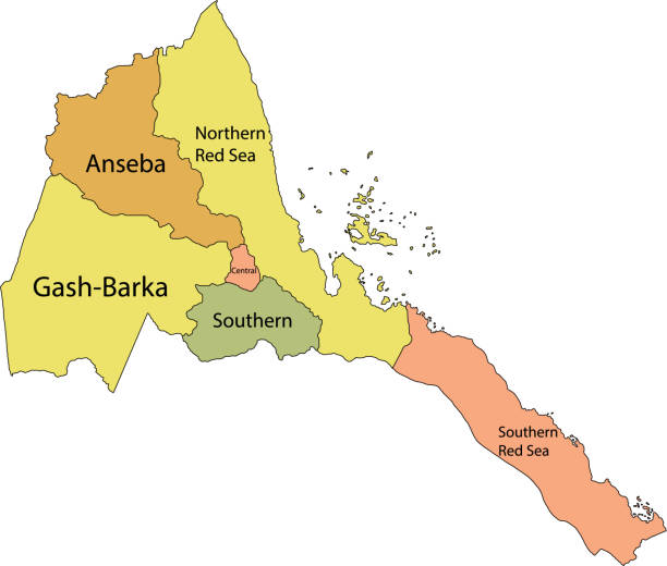
Pastel vector map of the State of Eritrea with black borders and names of its regions
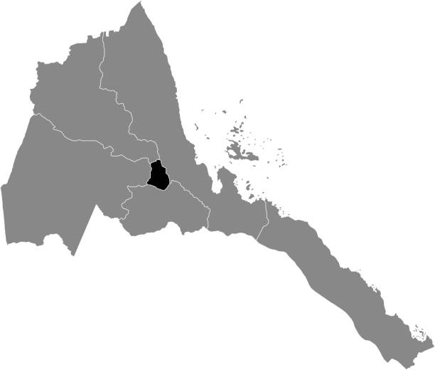
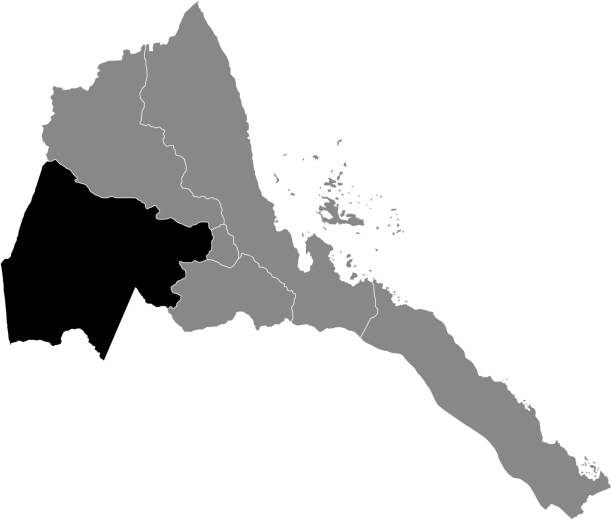
Black highlighted location map of the Eritrean Central region inside gray map of the State of Eritrea

Eritrean low poly regions. Polygonal map of Eritrea with regions. Geometric maps for your design. Charming vector illustration.

Official current vector coat of arms of the State of Eritrea
White vector map of the State of Eritrea with black borders of its regions
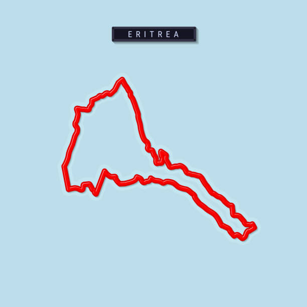
Eritrea bold outline map. Glossy red border with soft shadow. Country name plate. Vector illustration.

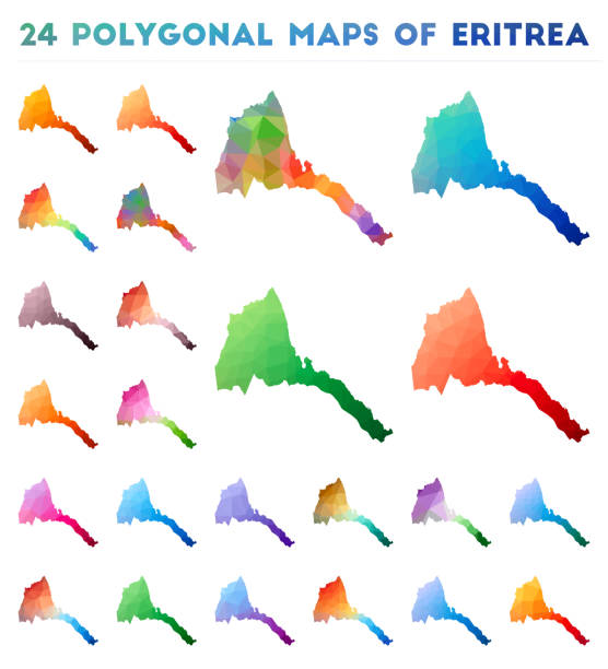
Set of vector polygonal maps of Eritrea. Bright gradient map of country in low poly style. Multicolored Eritrea map in geometric style for your infographics.
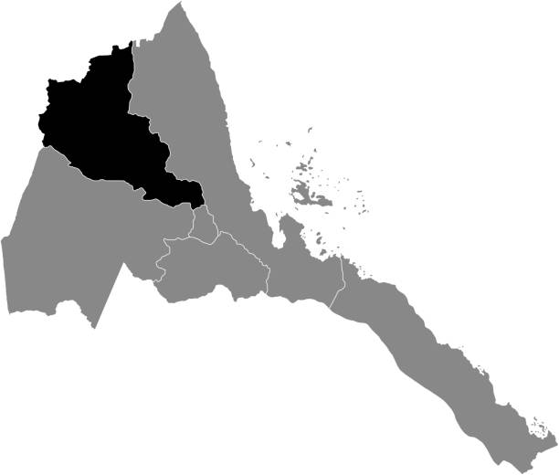
Black highlighted location map of the Eritrean Gash-Barka region inside gray map of the State of Eritrea
Official current vector flag of the State of Eritrea
Gray vector map of the State of Eritrea with white borders of its regions
Simple flat flag map of the State of Eritrea

Black highlighted location map of the Eritrean Northern Red Sea region inside gray map of the State of Eritrea
Black highlighted location map of the Eritrean Southern region inside gray map of the State of Eritrea
Black highlighted location map of the Eritrean Anseba region inside gray map of the State of Eritrea

Black highlighted location map of the Eritrean Southern Red Sea region inside gray map of the State of Eritrea
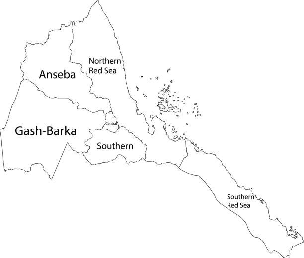
White vector map of the State of Eritrea with black borders and names of its regions


vector illustration of Eritrea map
vector illustration of Eritrea map
vector illustration of Eritrea maps
Dotted Map of Eritrea. Simple Silhouette of Eritrea. The National Flag of Eritrea. Set of Multicolored Map Markers. Vector Illustration Isolated on White Background.


Map of Eritrea cut out on a blank white paper with a blue background. Modern and trendy paper cutout effect. Vector Illustration (EPS file, well layered and grouped). Easy to edit, manipulate, resize or colorize. Vector and Jpeg file of different sizes.

Map of Eritrea black thick outline highlighted with neighbor countries.

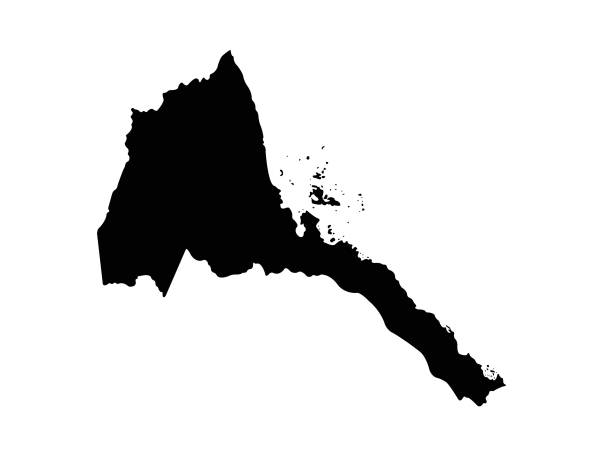
Simple black vector map of the State of Eritrea

Simple Black Map of Eritrea Isolated on White Background, can be used for business designs, presentation designs or any suitable designs.
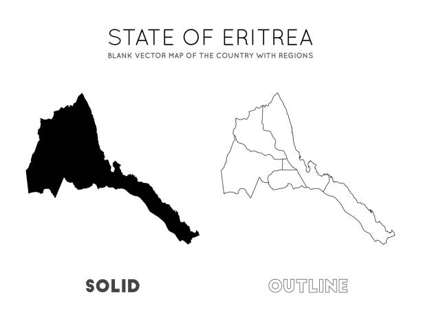
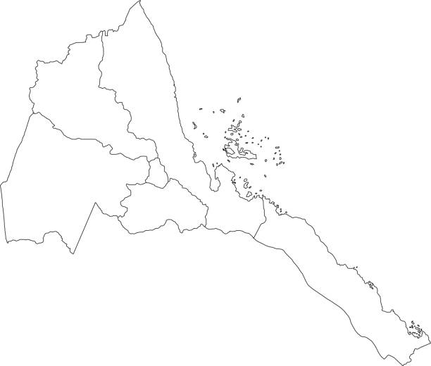
Eritrea map. Blank vector map of the Country with regions. Borders of Eritrea for your infographic. Vector illustration.
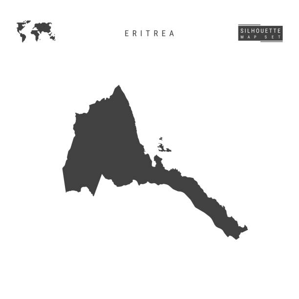
Eritrea Blank Vector Map Isolated on White Background. High-Detailed Black Silhouette Map of Eritrea.
Next