Illustrations
383 Illustrations
View state new mexico silhouette videos
Browse 380+ state new mexico silhouette stock illustrations and vector graphics available royalty-free, or start a new search to explore more great stock images and vector art.

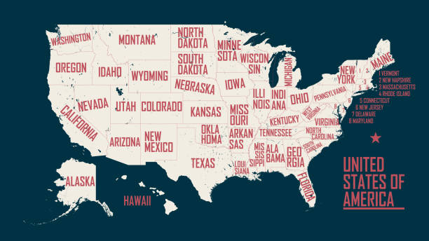
illustration of highly detailed U.S.A map with all state for your design , products and print.


Set of maps of New Mexico (USA). Flag on the map. Silhouette of the card. Vector illustration
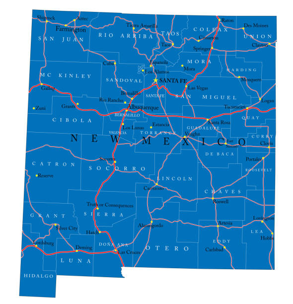
Detailed map of New Mexico state,in vector format,with county borders,roads and major cities.
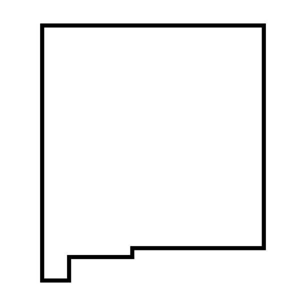
New Mexico state of United States of America, USA. Simplified thick black outline map. Simple flat vector illustration
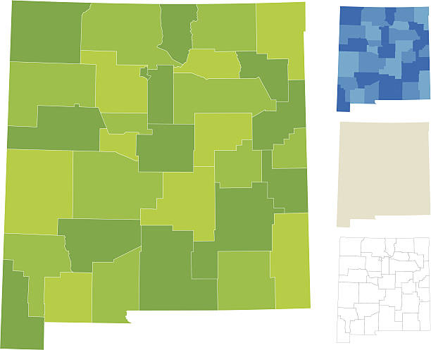
Highly-detailed New Mexico county map. Each county is in a separate labeled layer. All layers have been alphabetized for easy manipulation, recoloring or other use. (see image below -- note: labels only available in AICS2 and AI10 files)

illustration of New Mexico state map with road map for your design and products.

West, census region of the United States of America, gray political map of census region 4, consisting of 13 single states. Map with geographical borders and capitals. Isolated illustration.


Highly-detailed New Mexico county map. Each county is in it's own separate labeled layer. County names are in a separate layer and can be easily adjusted or removed as well. All layers have been alphabetized for easy manipulation, recoloring or other use.


highly detailed map from New Mexico state & counties for your design and products.

Isolated U.S.A State With Capital City. The map is on a transparent background (there is no white shape behind it)


New mexico administrative and political vector map

New Mexico, U.S. state, subdivided into 33 counties, multi colored political map with capital Santa Fe, borders and county names. State in the Southwestern region of United States. Land of Enchantment

Doodle vector map of New Mexico state of USA. With legends of state and capital

illustration of New Mexico state road map for your design and products.
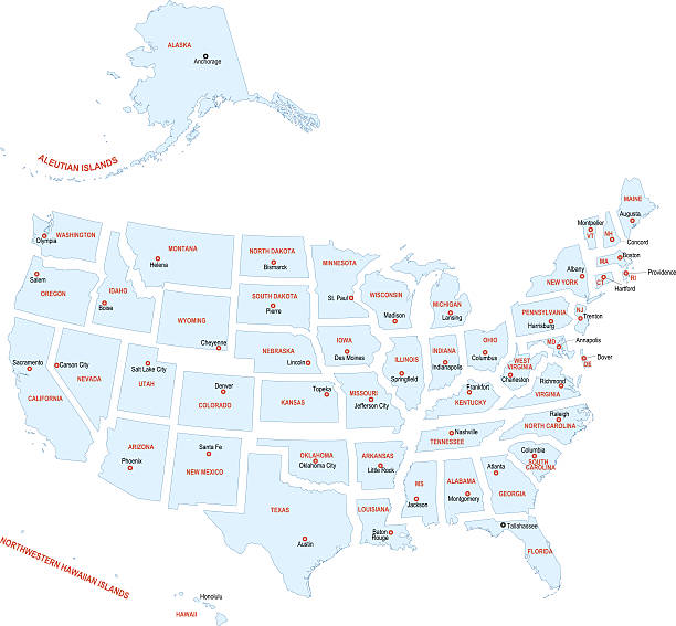
Precise vector illustration of USA map with divided states and borders. There are also names of capitals and States. Every object group on separate layer so it's easy to edit illustration.

Mountain states, gray political map. United States Census division of the West region, consisting of the states Arizona, Colorado, Idaho, Montana, Nevada, New Mexico, Utah, and Wyoming. Illustration


West, U.S. census region, multi colored political map. Census region 4 of the United States, consisting of 13 single states. Colored silhouettes of single states with borders and their capitals.

New Mexico counties, gray political map with borders and county names. State in the Southwestern region of the United States, subdivided into 33 counties. Nicknamed The Land of Enchantment.

vector map of the New Mexico.

Vector outline map of New Mexico state divided into counties


USA - New Mexico state infographic template, area, map and population informations


U.S. states - map of New Mexico. Hand made. Rivers and lakes are shown. Please look at my other images of cartographic series - they are all very detailed and carefully drawn by hand WITH RIVERS AND LAKES.

Albuquerque New Mexico City Skyline Silhouette with Golden Buildings Isolated on White. Vector Illustration. Albuquerque USA Cityscape with Landmarks. Business Travel and Tourism Concept.

Map of The United States of America with the Selected State of New Mexico And New Mexico Flag with Locator Collection.


New Mexico US state red outline map with the handwritten heart shape. Continuous line drawing of patriotic home sign. A love for a small homeland. T-shirt print idea. Vector illustration.

Santa Fe New Mexico City Skyline Silhouette with Golden Buildings Isolated on White. Vector Illustration. Santa Fe USA Cityscape with Landmarks. Travel and Tourism Concept with Modern Architecture.

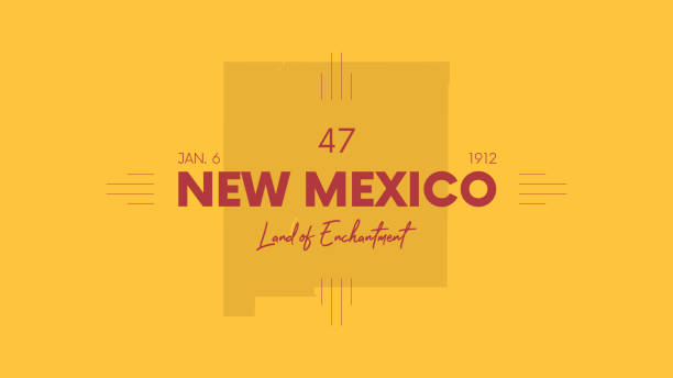
Stamp with name of New Mexico, Tierra del Encanto, vector illustration

New Mexico US state map with masked flag. Detailed silhouette. Waving flag. Vector illustration isolated on white.


New Mexico people map. Detailed vector silhouette. Mixed crowd of men and women icons. Population infographic elements. Vector illustration isolated on white.

colorful geometric New Mexico map - vector illustration

New Mexico states of symbol object of biscochitos hot air balloon gem turquoise sandia hairstreak America country map illustration vector

Neon name of Albuquerque city in USA. Vector text of Albuquerque, Neon inscription with backlight in Bold style, red and pink colors. Isolated glowing title for decoration. Without overlay mode


vector of the New Mexico map


vector of the New Mexico map


New Mexico state line road sign, white letters on green background

Mountain states, multi colored political map. United States Census division of the West region, consisting of the states Arizona, Colorado, Idaho, Montana, Nevada, New Mexico, Utah, and Wyoming.

of7Next