Illustrations
Tennessee Map With Counties stock illustrations
Browse 240+ tennessee map with counties stock illustrations and vector graphics available royalty-free, or start a new search to explore more great stock images and vector art.
Most popular
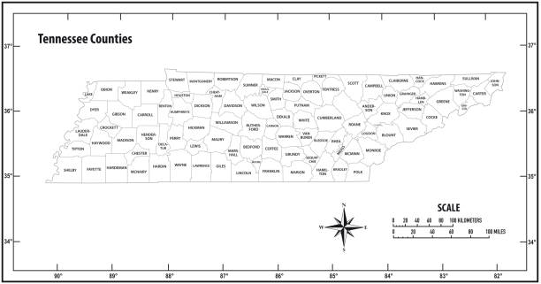
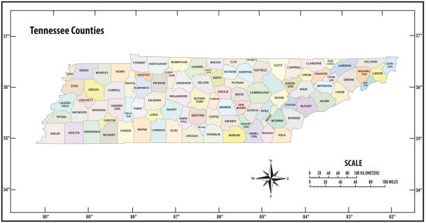
Detailed state-county map of Tennessee. This file is part of a series of state/county maps. Each file is constructed using multiple layers including county borders, county names, and a highly detailed state silhouette. Each file is fully customizable with the ability to change the color of individual counties to suit your needs. Zip contains both .AI_CS2 and .ESP_8.0 as well as a large JPEG file. Map generated using data from the public domain. (http://www.census.gov/geo/www/tiger/) Traced using Adobe Illustrator CS2 on 7/28/2006. 3 data layers.
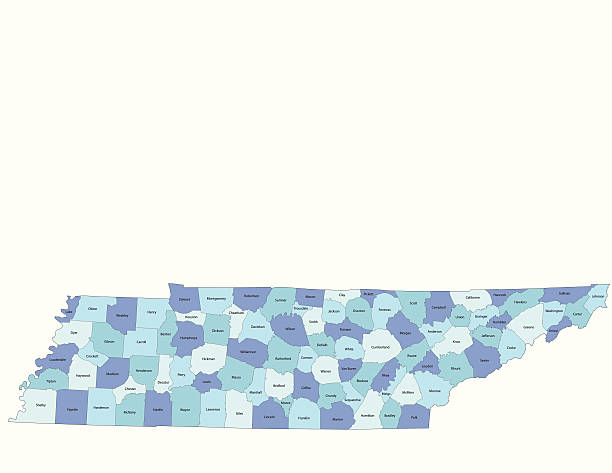
Highly-detailed Tennessee county map. Each county is in it's own separate labeled layer. County names are in a separate layer and can be easily adjusted or removed as well. All layers have been alphabetized for easy manipulation, recoloring or other use.
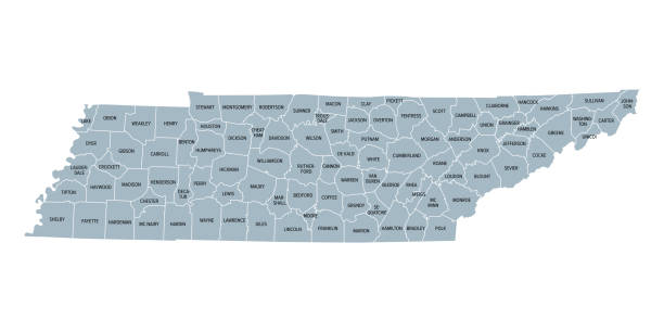
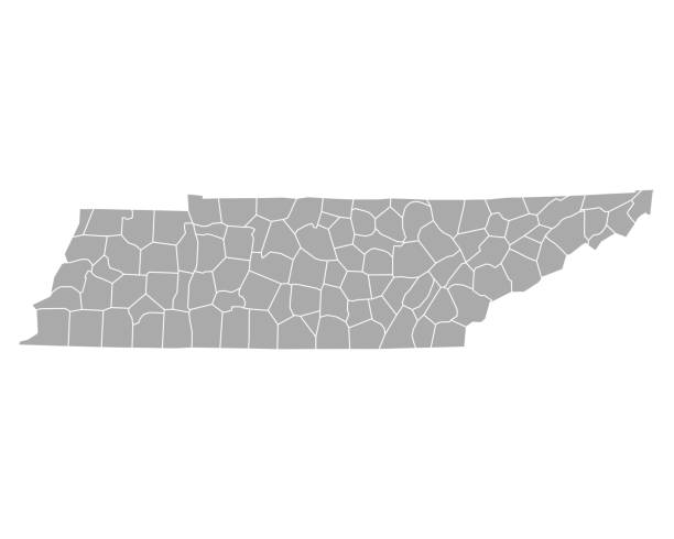
Tennessee, subdivided into 95 counties, gray political map with borders and county names. Landlocked state in the Southeastern region of the United States, nicknamed The Volunteer State. Illustration

Detailed outline map of Tennessee with capital

"Highly-detailed Tennessee county map. Each county shape is in a separate labeled layer. All layers have been alphabetized for easy manipulation, recoloring or other use. (see image below -- note: labels only available in AICS2 and AI10 files)"


virginia administrative and political vector map


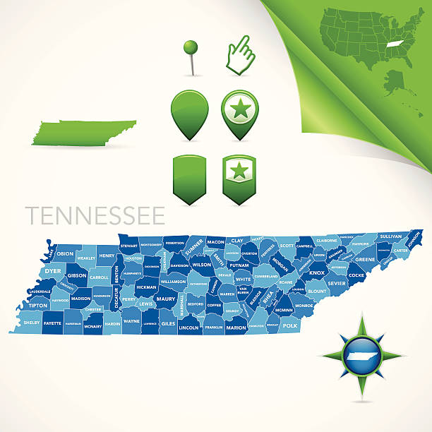
Vector outline map of Tennessee state divided into counties

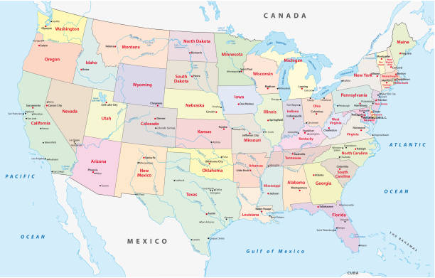
Administrative and political vector map of the United States of America

Flat map of Tennessee state with cities against black background.


map of Tennesse state with counties


Detailed map of Tennessee with surroundings, provinces and capital


Next