Deep blue layers abstract water background concept.
Browse 19,700+ topographic map vector stock illustrations and vector graphics available royalty-free, or search for topographic map vector seamless or virginia topographic map vector to find more great stock images and vector art.
Deep blue layers abstract water background concept.

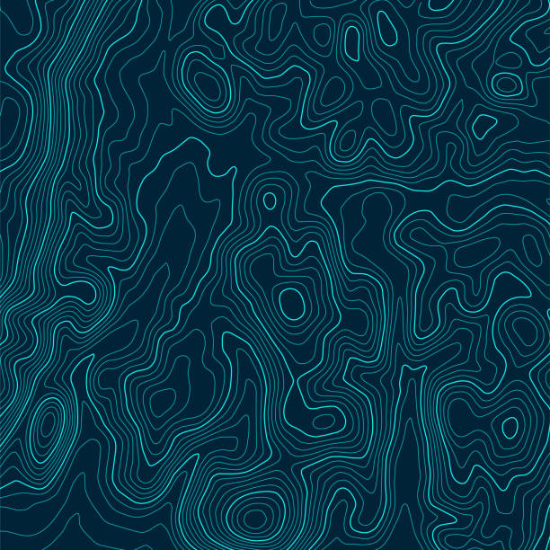
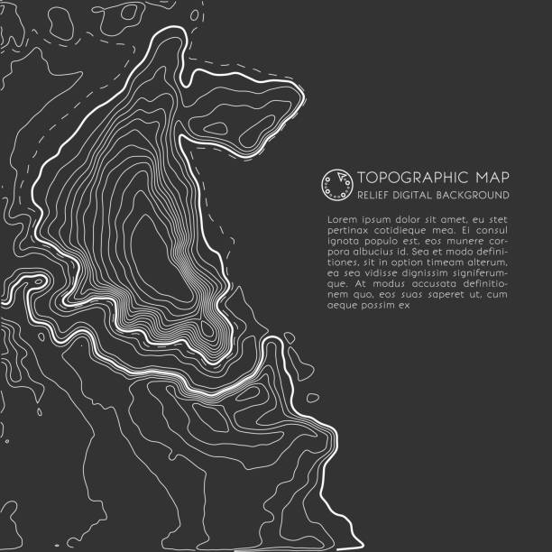
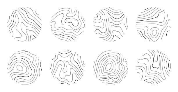
Topographic map patterns, dark topography line map. Outdoor vector background, editable stroke.
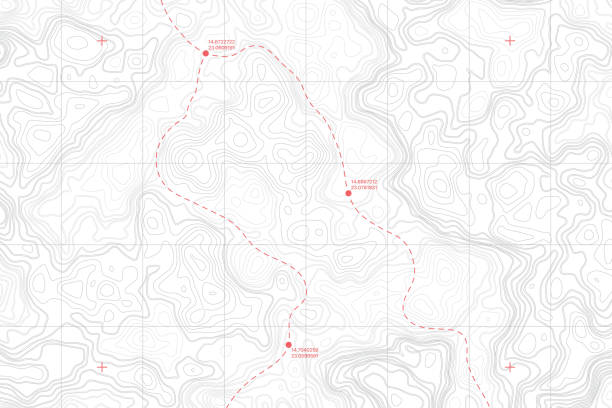
Lie Of The Ground Vector Topographic Detailed Map With Route And Coordinates Abstract Background
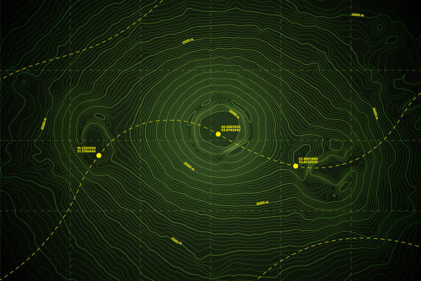
Sea Abyss Crater Vector Topographic Map With Depth Route And Coordinates Conceptual User Interface Dark Green Background. Topography Relief Of Dormant Volcano Underwater Area Abstract Illustration
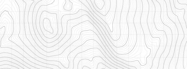
Topographic map lines background.

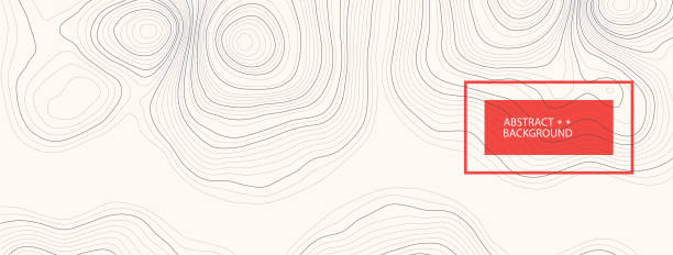
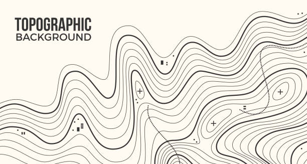
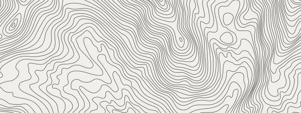
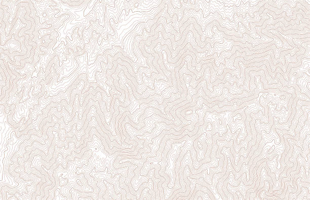
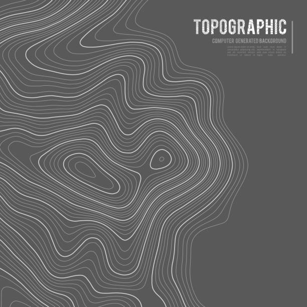
Topographic background lines abstract map topography.

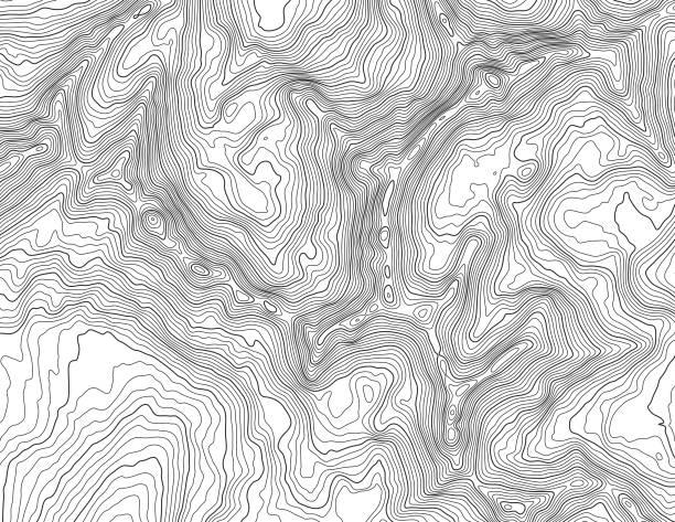
Topographic abstract geography background map.
Topographic contour lines in mountainous landscape. Blue lines on white background. Public domain topographic data compiled by the U.S. Geological Survey, sampled and modified from Horse Thief Canyon US Topo quadrangle, 2012. http://store.usgs.gov and http://ims.er.usgs.gov/gda_services/download?item_id=5603004.

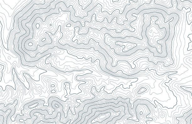
Topographic map. The stylized height of the topographic contour in lines and contours. Vector stock illustration.
Topographic map background with space for copy. EPS 10 file. Transparency effects used on highlight elements.

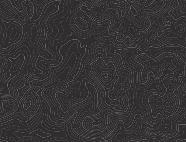
Black and white topographic map with contour lines and elevation marks. Stylish fantasy topo map for navigation with terrain contour and elevation signs.

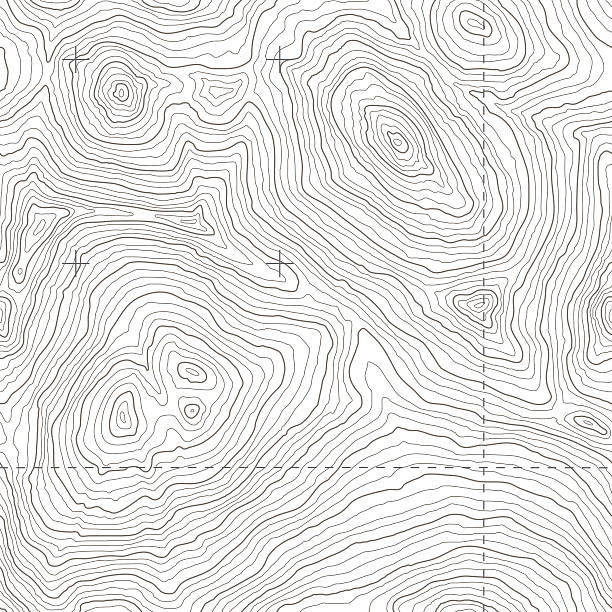
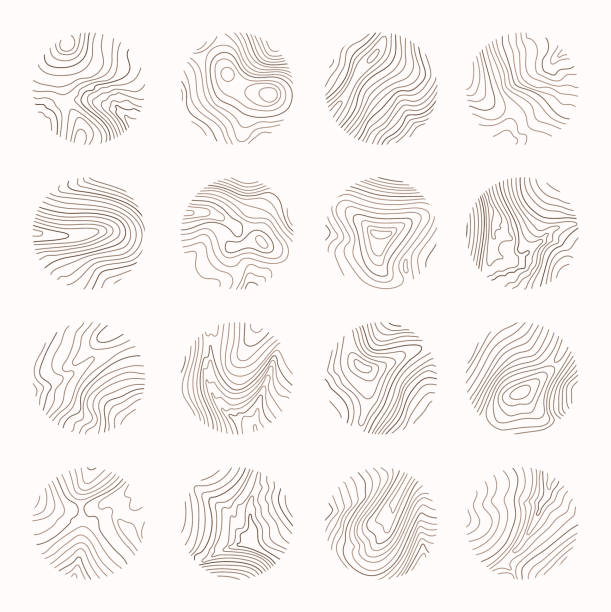
Editable vector illustration of an angled generic contour map. Hi-res jpeg file included.
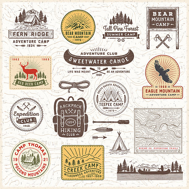
Vintage looking camping,hiking,adventure badges,labels and signs over topographic map.More works like this linked below.http://www.myimagelinks.com/Lightboxes/FRAMES,BANNERS_%26_LABELS_files/shapeimage_2.png
The black on white contours vector topography stylized height of the lines. The concept of a conditional geography scheme and the terrain path. Wide size. Map on land vector terrain Illustration.

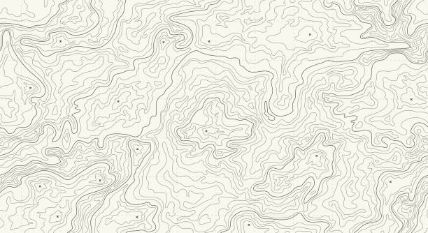
Topography background. Topographic contour map texture collection. Abstract wavy covers set. Stylized geographic landscape backdrop patterns. Cartography Vector illustration

Seamless topographic background EPS 10 file. Transparency effects used on highlight elements.
Topographic map with elevation contour lines in mountainous terrain. Public domain topographic data compiled by the U.S. Geological Survey, sampled and modified from Anchorage D-7 SE, Alaska, 2016 US Topo quadrangle, https://store.usgs.gov/product/517497 and http://ims.er.usgs.gov/gda_services/download?item_id=8290614.
Big seamless topography tile vector. Depicts rugged mountainous terrain in a fictional location. Includes hi-res jpeg (3700x3700).
This detailed illustration of topography lines repeats seamlessly and the vector file can be scaled infinitely without loss of quality. This topographic map style abstract pattern would make an ideal background and can easily be coloured and customised to suit your needs.
Topographic contour lines in mountainous terrain. Public domain topographic data compiled by the U.S. Geological Survey, sampled from Last Chance Mountain US Topo quadrangle, 2012. http://store.usgs.gov and http://ims.er.usgs.gov/gda_services/download?item_id=5603008.

The concept of conventional geography and route of the area. Wide size canvas. Blue on a yellow background. Vector illustration.
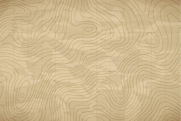
Vector Black White Topography Contour Outline Map With Relief Elevation Abstract Wide Background. Vintage Cartographic Art Old Geographic Territory Treasure Hunt Adventure. Topographic Wide Wallpaper

Topographic abstract background lines pattern.

Contour lines on topographic maps, geographic map pattern. Vector set of social media stories template with copy space.
Topographic lines abstract smooth pattern background.

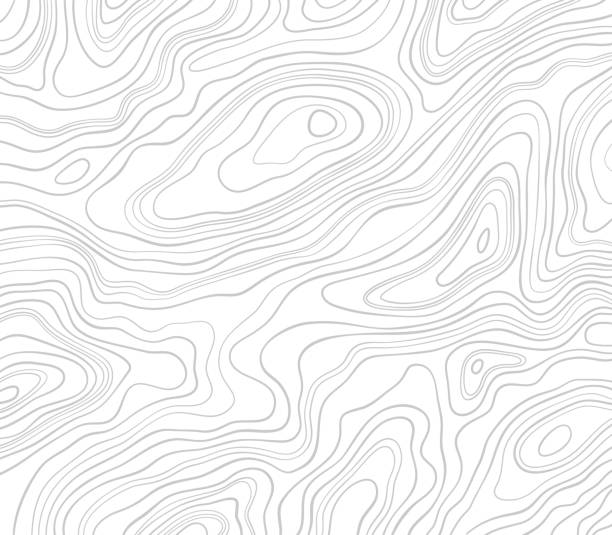
Topography map on white background. Contour line abstract terrain relief texture. Geographic wavy landscape. Vector illustration
Tree ring, wood line art. Vector topography illustration.
Growth rings of a tree. Wood stump line design. Vector illustration.

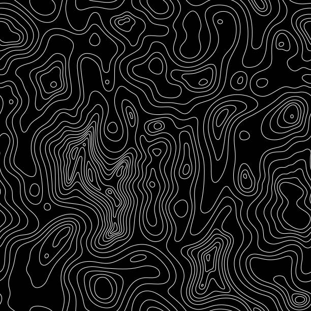
Black abstract topographic terrain lines abstract background pattern.

Futuristic GPS coordinate topographic contour line AI tracking technology interface. Geographic map pattern for cartography on blue background. Vector illustration design element template.
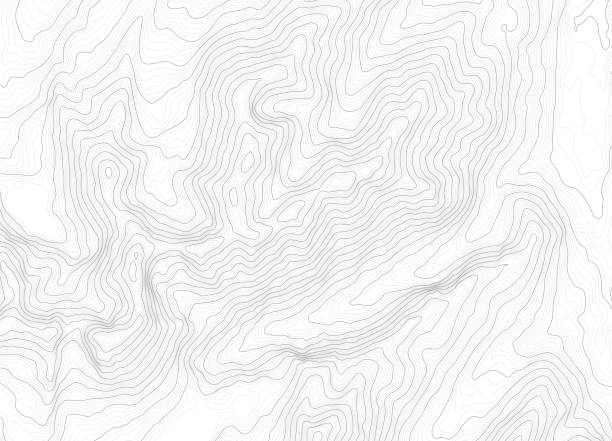
![Topography Background [vector] A topographic map pattern on white. topographic map vector stock illustrations](https://media.istockphoto.com/id/153070427/vector/topography-background-vector.jpg?s=612x612&w=0&k=20&c=EBY-V2L6f3tIOCLBBoCFFAOKY8E4mB5FPpZjHwk-ecU=)
A topographic map pattern on white.

Abstract topographic contour. Geographic map illustration for cartography isolated on white crumpled paper background and texture. Black and white vector line pattern template

Contour lines on topographic maps, geographic map pattern. Vector set of social media stories template with copy space.

Gray linear abstract background in the form of relief or wood texture for your design. Vector illustration.

Paper cut topography relief imitation, blue colors multi layers banner. Abstract water flowing liquid texture art design, origami paper cut layer smooth shape vector illustration
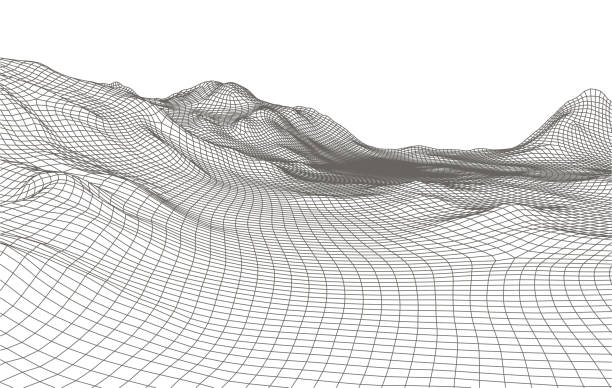
Abstract vector landscape background. Cyberspace grid. 3d technology vector illustration.

Seamless topography vector. Tiles endlessly!
Height map with contour lines and dotted line grid seamless vector pattern background illustration

A topographic map of an entirely fictional location depicting rugged mountain peaks, lakes, rivers, and trails, with green color indicating vegetation.
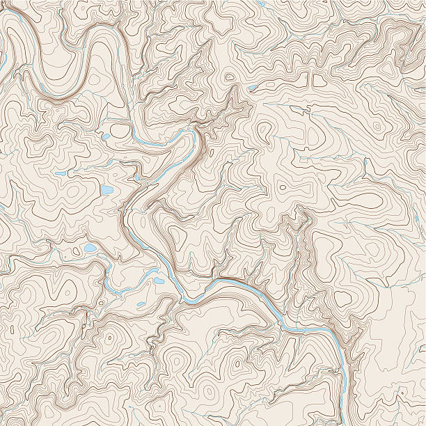
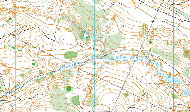
Realistic Topographic map of an area west of Austin, Texas. Vector map is layered with isolines, rivers, bodies of water and background on different layers.

Big Data. Abstract digital mountains range landscape with glowing light dots. Futuristic low poly wireframe vector illustration on technology blue background. Data mining and management concept.
Grey contours vector topography. Geographic mountain topography vector illustration. Topographic pattern texture. Map on land vector terrain. Elevation graphic contour height lines. Topographic map height abstract polygonal land. Mountain topographic contour in lines and contours.

Geographical floodplain landscape relief contour map, topographic poster. Abstract line drawing represent land elevation with minimalist art style design. Cartography pattern. Modern monochrome print