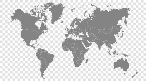
World map on a transparent base (can be added on top of any color background)
Browse 84,400+ world map borders stock illustrations and vector graphics available royalty-free, or search for world map borders vector or world map borders no countries to find more great stock images and vector art.
World map on a transparent base (can be added on top of any color background)
World map vector image isolated on white background. Individual country color editable.
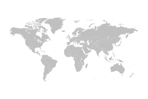
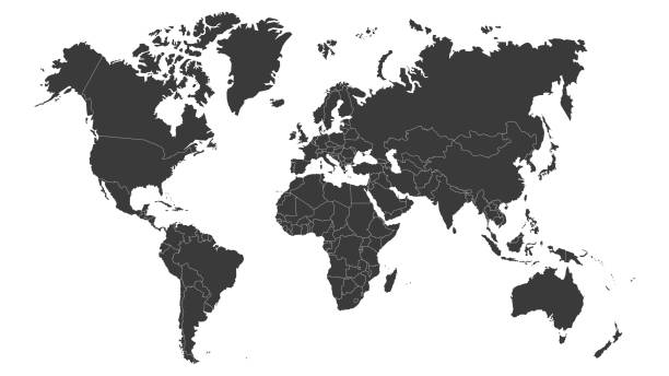
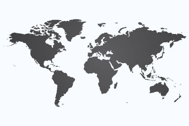
Highly detailed vector World map, with gray countries and white borders on a white background. High detail vector illustration
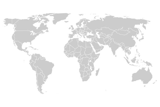
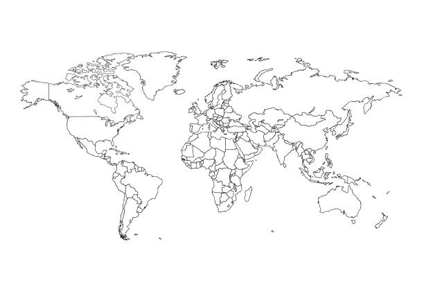
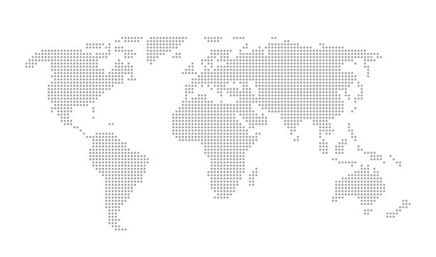
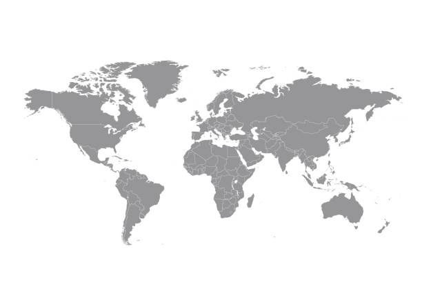
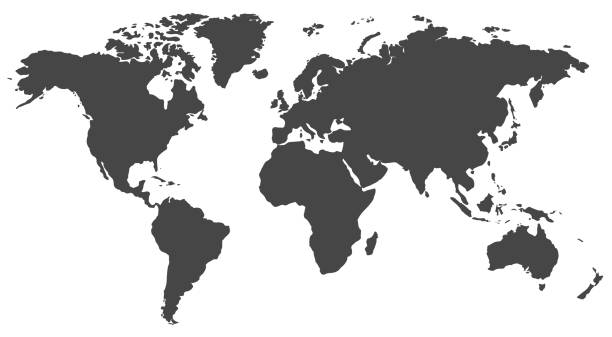
outline of the world map in gray color on a white backgrounds.vector illustration

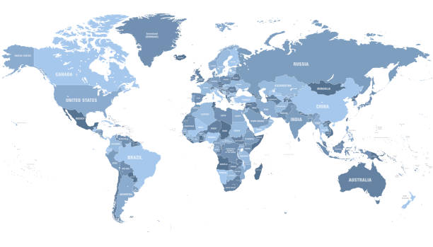
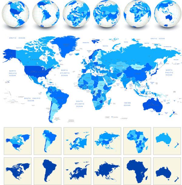
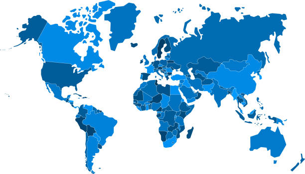
High detailed Blue World Map with Borders, Cities, Oceans
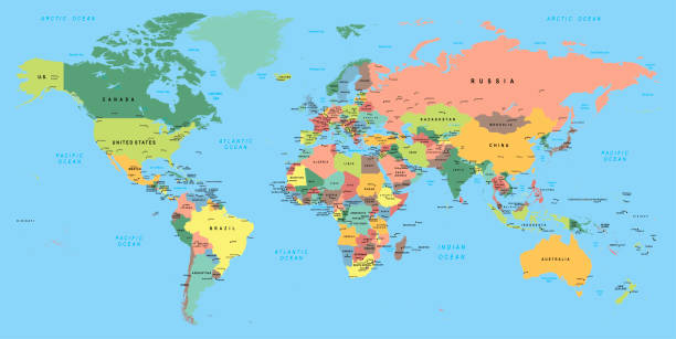
Political Physical Topographic Colored World Map Vector illustration
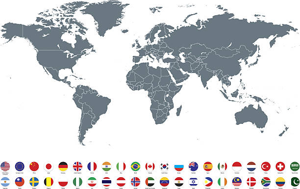
World map with countries vector art

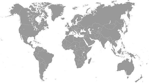
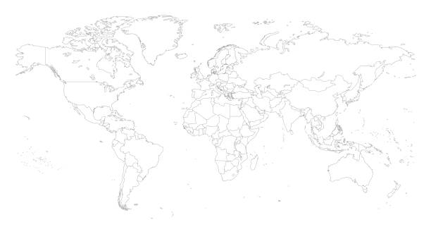
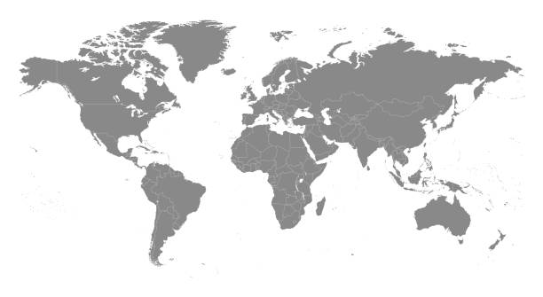
Detailed, high resolution, accurate vector world map with boundaries of States displayed in grey ink on a white background.

Vector Illustration World Map on White Background. Courtesy of the PCL Map Collection: http://www.lib.utexas.edu/maps/world.html (Public Domain PCL Map Collection).
Print map of world for t-shirt, poster or geographic themes. Hand-drawn colorful map with states and capital names. Vector modern Illustration.Detailed illustration map shape can be use for presentation,chart,template and report.white background.
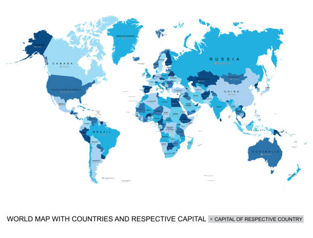
High detailed Illustration with World Map with Borders, Cities, Oceans and capitals

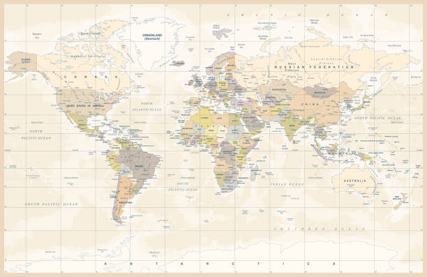
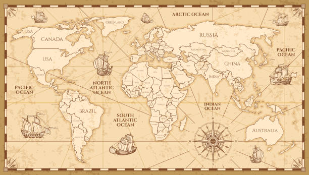
Map of World in vintage style. Beautiful illustration of antique map on an old textured paper of sepia color. Old realistic parchment with a compass rose, lines indicating the different directions (North, South, East, West) and a frame used as scale of measurement.Vector Illustration (EPS10, well layered and grouped). Easy to edit, manipulate, resize or colorize. Please do not hesitate to contact me if you have any questions, or need to customise the illustration. http://www.istockphoto.com/portfolio/bgblue
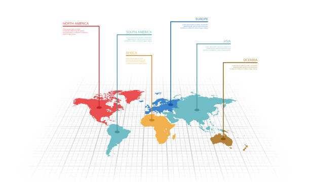
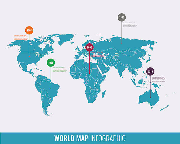
Vector illustration infographic of the World map with continents highlighted by different colors and labels

Dark world map vector illustration with political borders on white background
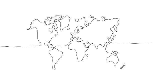
abstract hand drawn world map line art
Vector antique world map with countries boundaries. Antique world vintage map, grunge america and europe illustration
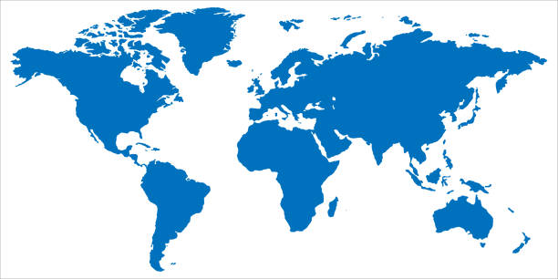
World map in blue. Globe symbol in flat design. Planet silhouette. Earth with continents on white background. Map of europe and america. Asia and Australia illustration. EPS 10
http://dikobraz.org/map_2.jpg
High Detail World map. All elements are separated in editable countries. Vector illustration EPS10.
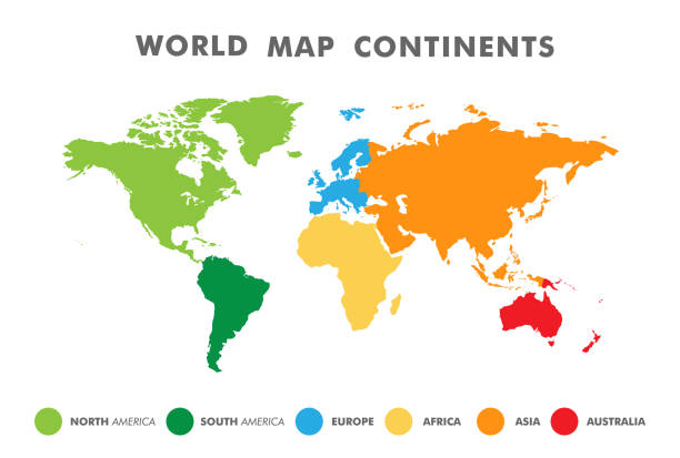
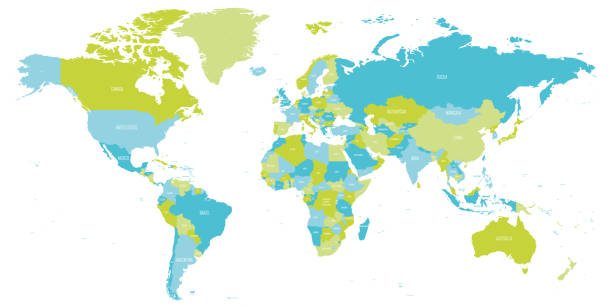
World map divided into six continents in different color. Colored map of the World with countries borders. Vector stock
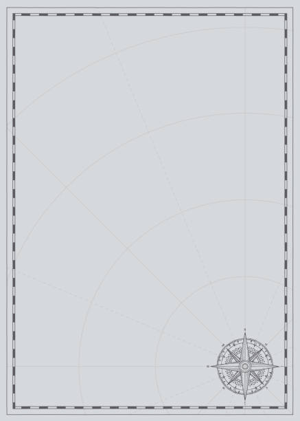
Vector background with wind rose compass sign and place for text. Vintage illustration on theme of travel, adventure and discovery on a grey backdrop with meridians and parallels. Pirate map concept.
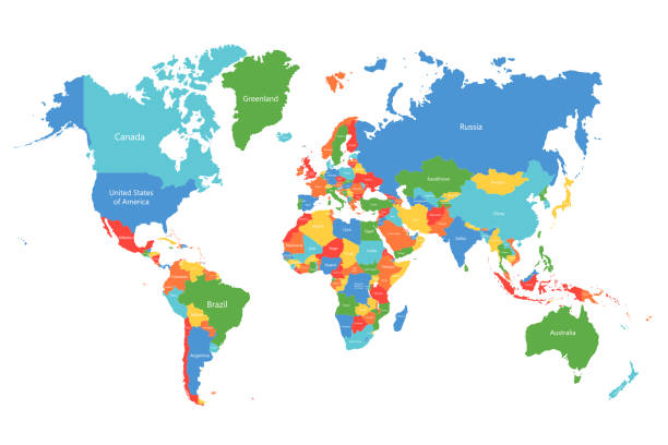
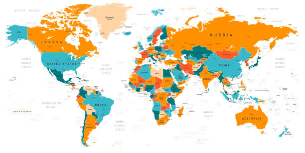
Vector world map. Colorful world map with countries borders. Detailed map for business, travel, medicine and education
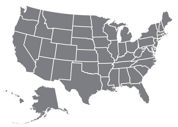
A silhouette of the USA, including Alaska and Hawaii. File is built in CMYK for optimal printing and the map is gray.
Map of World in shades of green and blue. High detail political map with country names. Vector illustration.
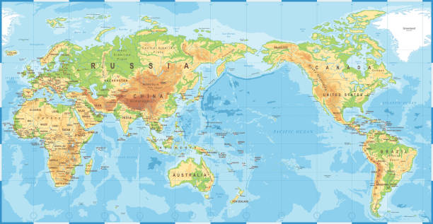
Political Physical Topographic Colored World Map Pacific Centered- vector

Map of World with a realistic paper cut effect isolated on white background. Vector Illustration (EPS10, well layered and grouped). Easy to edit, manipulate, resize or colorize. Please do not hesitate to contact me if you have any questions, or need to customise the illustration. http://www.istockphoto.com/bgblue/
World Map EPS 10 Vector Illustration
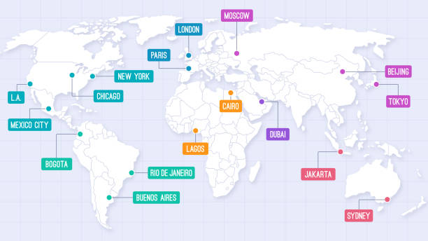
World map city locations with country outlines modern location labels map background.

Old world map with frame. Retro design banner. Decorative antique museum picture. Element for marine theme and heraldry. Vector paper texture.
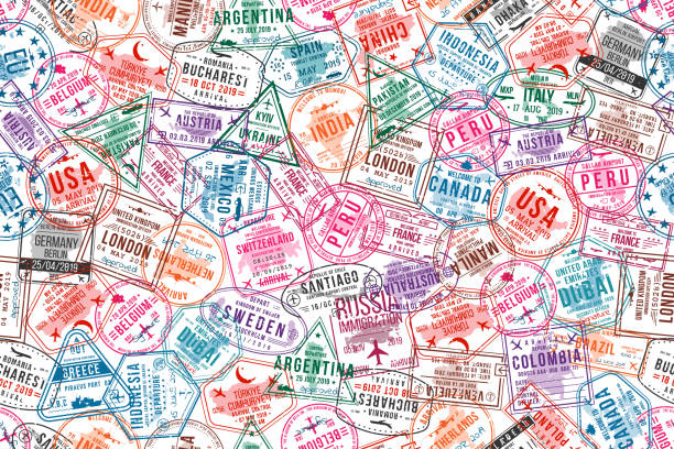
Passport visa stamps, seamless pattern. International and immigration office rubber stamps. Traveling and tourism concept background. Vector
Vector illustration in HD very easy to make edits.

Old retro color political World map. All elements are separated in editable layers clearly labeled.

Vintage blank world map pink shade background vector. All countries map with boarders. Great for business concepts, digital backgrounds, backdrop, banner, poster and wallpapers.

Vector illustration of a Mercator World Map
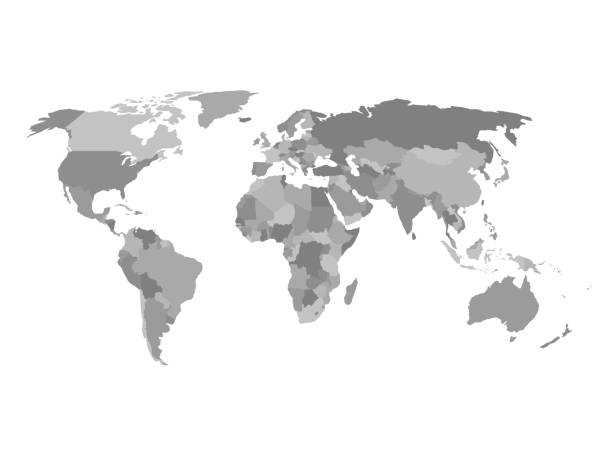
Political map of the world in shades of grey. Simlified flat geographical background wallpaper. EPS10 vector illustration.
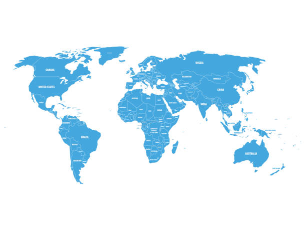
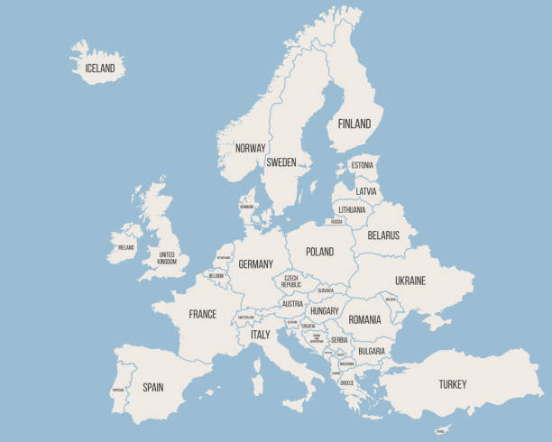
Blue political World map with country borders and white state name labels. Hand drawn simplified vector illustration.

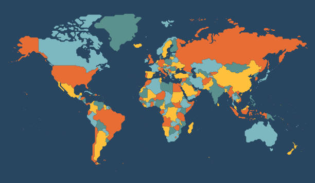
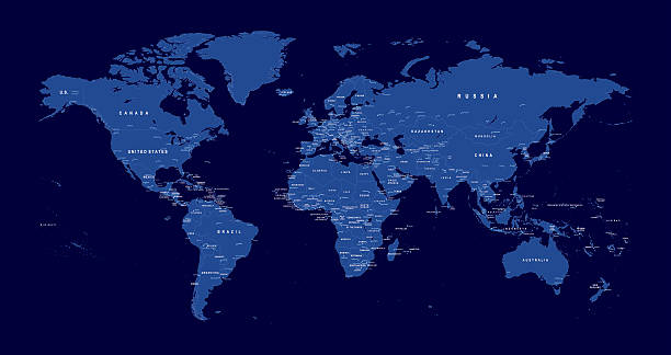
World map with names of sovereign countries and larger dependent territories. Simplified vector map in four colors on blue background.