Illustrations
Browse 2,600+ world map us states stock illustrations and vector graphics available royalty-free, or search for world map states to find more great stock images and vector art.
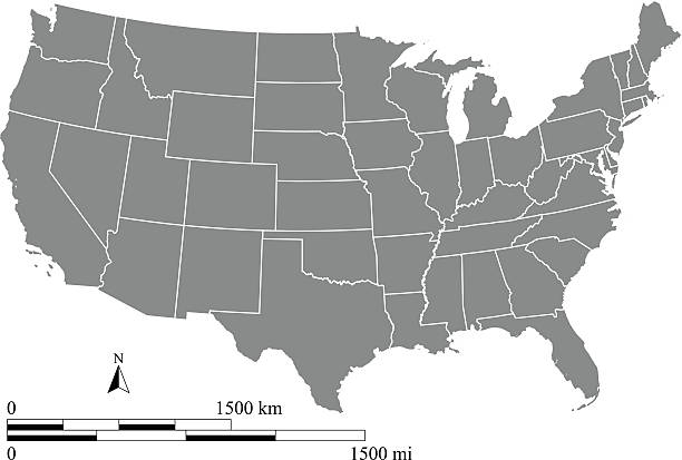
This vector map of USA includes a high quality image file (jpg) and a vector file (eps) that can be scaled to any size. The map and scales are accurately prepared by a GIS expert.

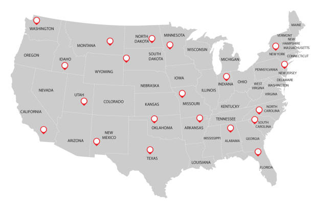
Set of the political USA maps, markers and symbols for infographic

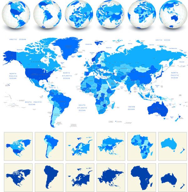
World map with markers on white background. Hires JPEG (5000 x 5000 pixels) and EPS10 file included.
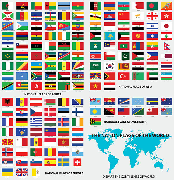
Vector Illustration : National flags of the world, dis-part the continents of world.

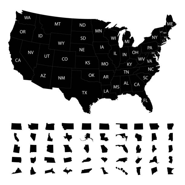

USA map isolated on white background including Hawaii and Alaska with short name abbreviation for each state. Detailed map with divided states, with separate layers for each state. Vector illustration


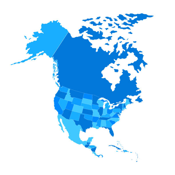
America Centered Political World Map isolated on white. No text. Highly detailed vector illustration of World Map.

Texas red marked on USA map. USA map with divided states including Hawaii and Alaska, with separate layer for each state. Vector illustration


Set of editable detailed maps of China, Russia, USA, Germany and counties silhouettes on world map

USA map with geographical state borders and state abbreviations. United States of America map. Colorful US map design with state abbreviations. Vector


Editable infographic template of USA map analysis with percent marks and pie charts


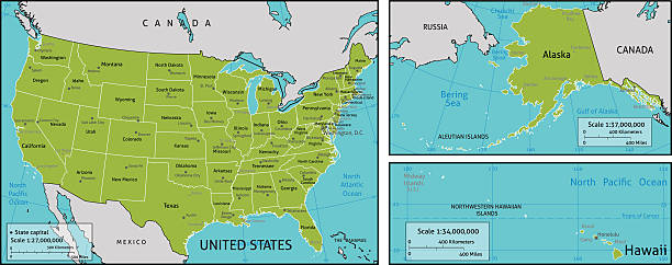
A map of America with all state names, state capitals and other major cities. Organised in vector version in easy to use layers. Colors and strokes also easily changed. Layers include
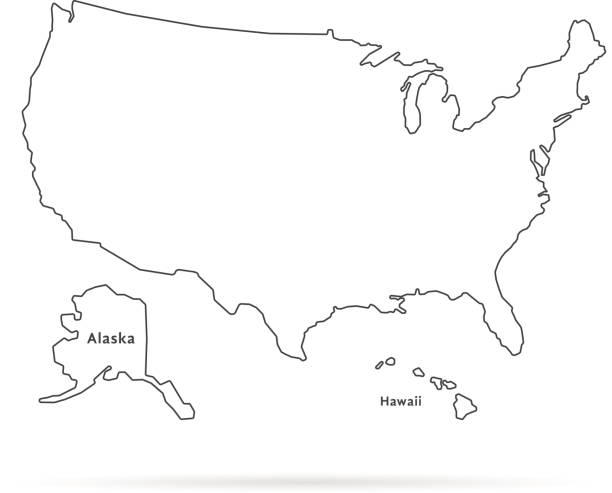
thin line usa map with other territories and shadow. concept of mapping, hand drawn decoration, topography, trip, education, federal. flat style trend modern vector illustration on white background

California red marked on USA map. Detailed map with divided states including Hawaii and Alaska, with separate layer for each state. Vector illustration

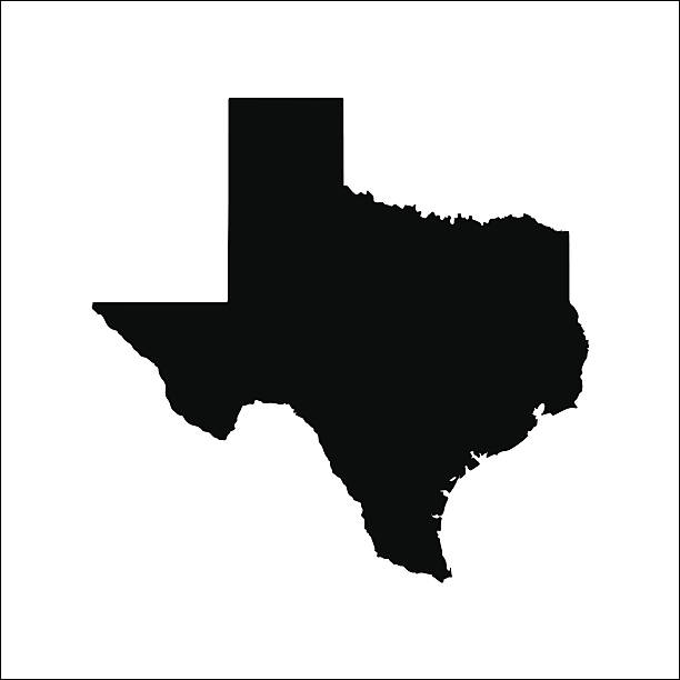
Texas - States of USA Outline Map Vector Template Illustration Design. Editable Stroke. Vector EPS 10.

map of the U.S. state of Pennsylvania

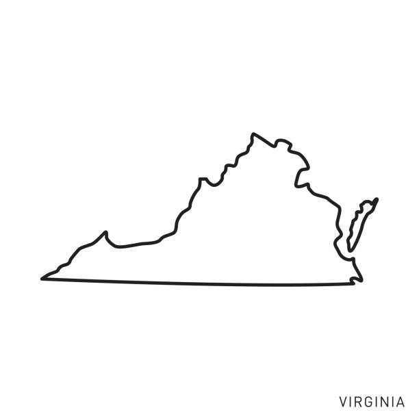
Virginia - States of USA Outline Map Vector Template Illustration Design. Editable Stroke. Vector EPS 10.

Missouri - States of USA Outline Map Vector Template Illustration Design. Editable Stroke. Vector EPS 10.


blue abstract outline of Wisconsin map

Indiana - States of USA Outline Map Vector Template Illustration Design. Editable Stroke. Vector EPS 10.
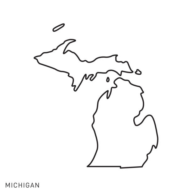
Michigan - States of USA Outline Map Vector Template Illustration Design. Editable Stroke. Vector EPS 10.

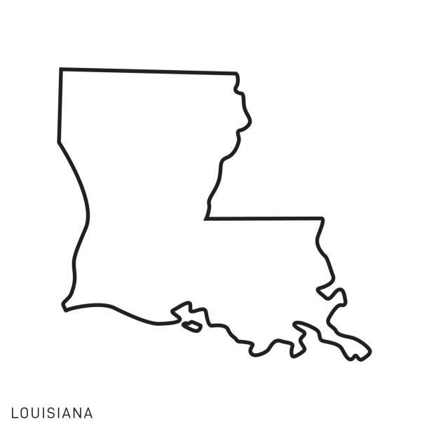
Louisiana - States of USA Outline Map Vector Template Illustration Design. Editable Stroke. Vector EPS 10.
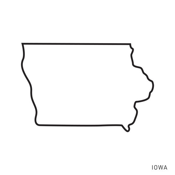
Iowa - States of USA Outline Map Vector Template Illustration Design. Editable Stroke. Vector EPS 10.

Ohio - States of USA Outline Map Vector Template Illustration Design. Editable Stroke. Vector EPS 10.
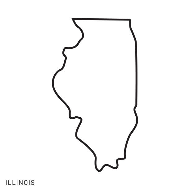
Illinois - States of USA Outline Map Vector Template Illustration Design. Editable Stroke. Vector EPS 10.
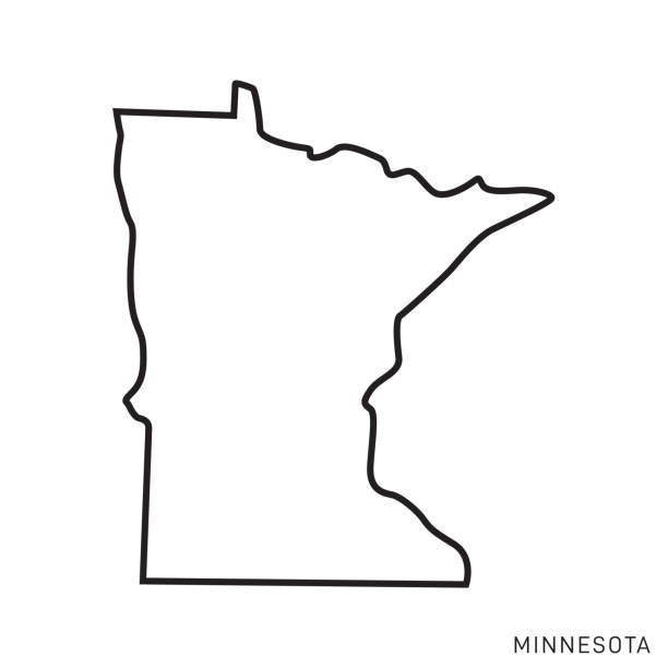
Minnesota - States of USA Outline Map Vector Template Illustration Design. Editable Stroke. Vector EPS 10.


California - States of USA Outline Map Vector Template Illustration Design. Editable Stroke. Vector EPS 10.


white abstract outline of Michigan map on grey background
Oregon - States of USA Outline Map Vector Template Illustration Design. Editable Stroke. Vector EPS 10.

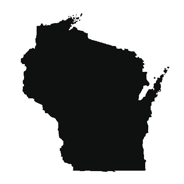
Wisconsin - States of USA Outline Map Vector Template Illustration Design. Editable Stroke. Vector EPS 10.
Kentucky - States of USA Outline Map Vector Template Illustration Design. Editable Stroke. Vector EPS 10.

vector illustration of South Carolina map


Nevada map. Vector illustration

North Carolina - States of USA Outline Map Vector Template Illustration Design. Editable Stroke. Vector EPS 10.
of45Next