Vector illustration
Browse 28,400+ australian continent stock photos and images available, or start a new search to explore more stock photos and images.

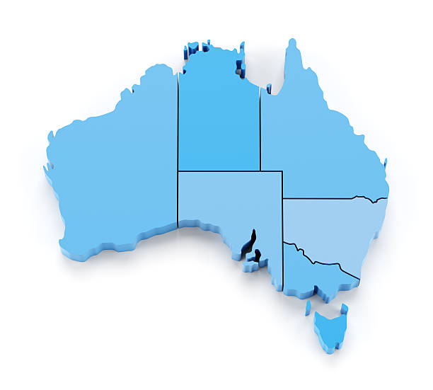
3D Render of a Topographic Map of Australia. All source data is in the public domain. Color texture: Made with Natural Earth. http://www.naturalearthdata.com/downloads/10m-raster-data/10m-cross-blend-hypso/ Relief texture: GMTED 2010 data courtesy of USGS. URL of source image: https://topotools.cr.usgs.gov/gmted_viewer/viewer.htm Water texture: SRTM Water Body SWDB: https://dds.cr.usgs.gov/srtm/version2_1/SWBD/
World map divided into six continents in different color. Colored map of the World with countries borders. Vector stock
Vector isolated simplified illustration icon with silhouette of Australia map. National flag. White background
Australia from space at night with city lights of Sydney, Melbourne and Brisbane, view of Oceania, Australian desert, communication technology, 3d render of planet Earth, elements from NASA (https://eoimages.gsfc.nasa.gov/images/imagerecords/57000/57752/land_shallow_topo_21600.tif)
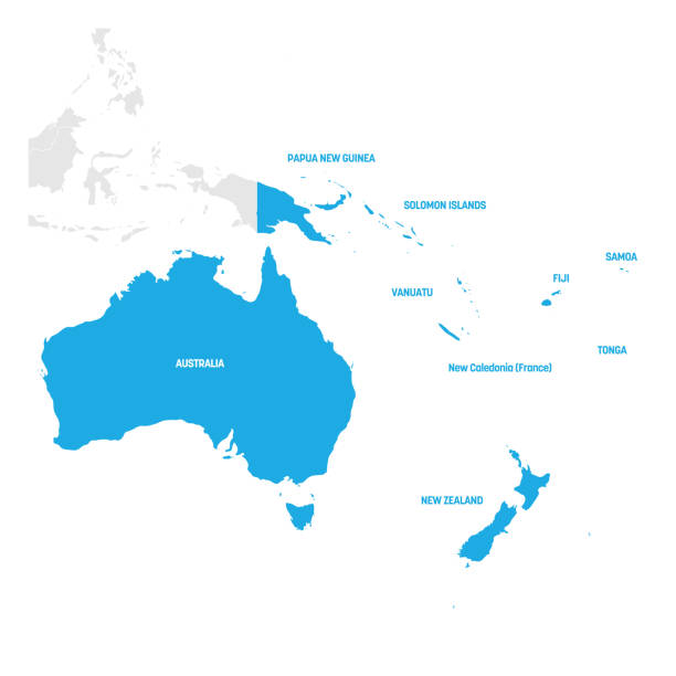
Australia and Oceania Region. Map of countries in South Pacific Ocean. Vector illustration.
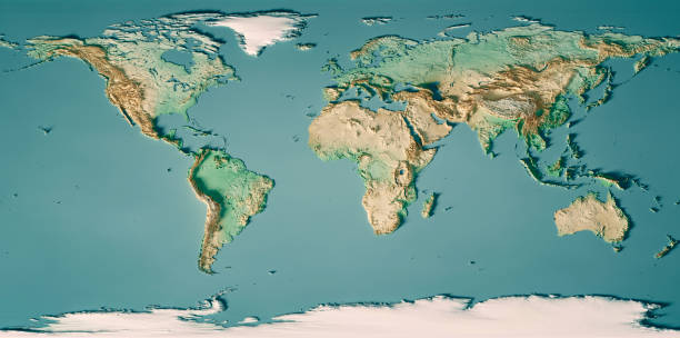
3D Render of a Topographic World Map.Made with Natural Earth. URL of source data: http://www.naturalearthdata.comRelief texture SRTM data courtesy of NASA. URL of source image: http://reverb.echo.nasa.govThe source data is in the public domain.
Single colored isolated outline icons of the earth from nine positions
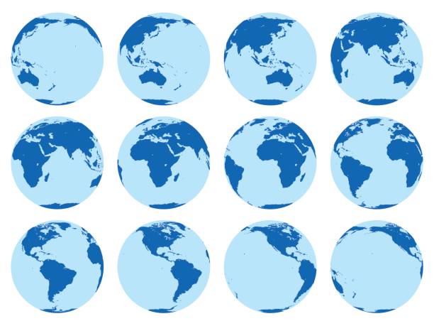
Vector set of 12 flat globes showing earth rotation in two hours period. 30 degrees rotation.

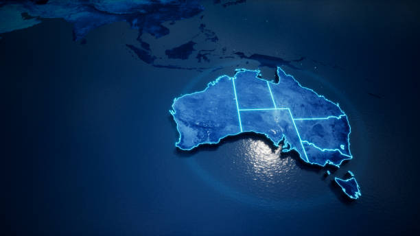
Australia map continent outline on planet Earth view from space abstract background. Globalization, connection concept. Low poly wireframe, lines and dots glowing design. Vector illustration.

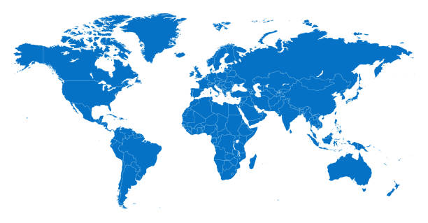
Political world map. Detailed continents, countries borders and names atlas for global travel, statistic or infographic design vector illustration. Colorful map with national boundaries

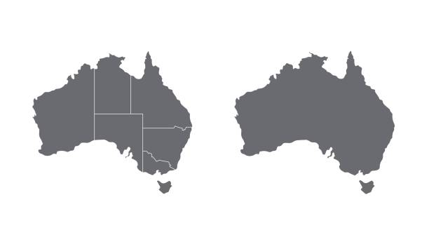
A territory of Australia in a flat style isolated on white background. Australia borders. Vector clipart.
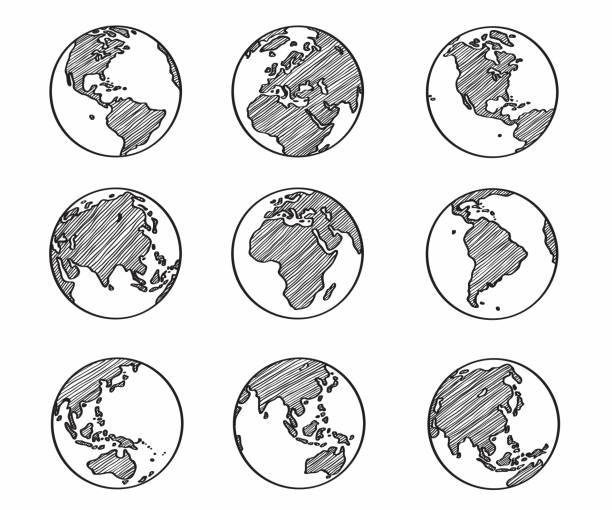
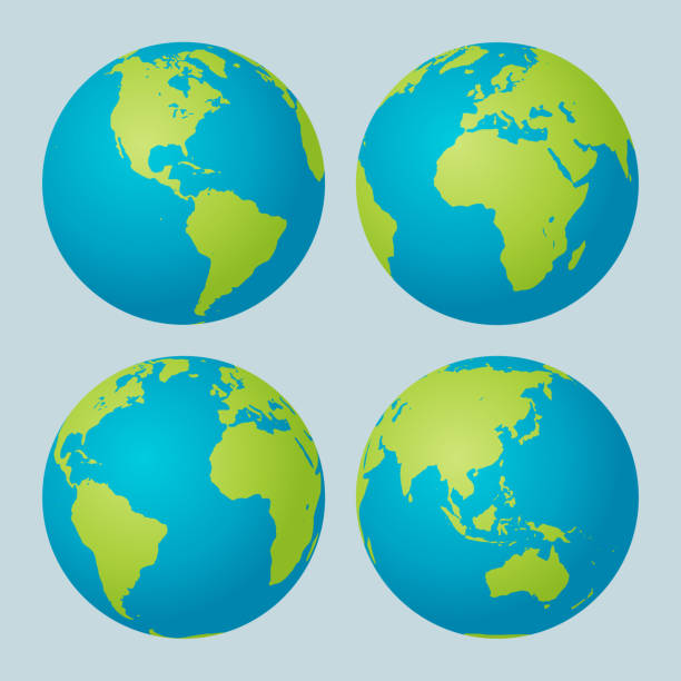
Nine clear simplified views of the earth showing the major continents.
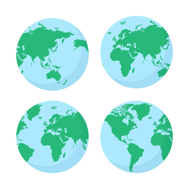
World map vector set. Blue green planets.
Australia map on white background with shadow. Stock vector
Australia covid variant RGB color icon. Corona virus mutation for spreading faster around worlds. Fighting dangerous disease pandemia. Isolated vector illustration
Map of country line icon set, country collection, vector sketches, logo illustrations, map countries icons, travel signs linear pictograms, editable stroke
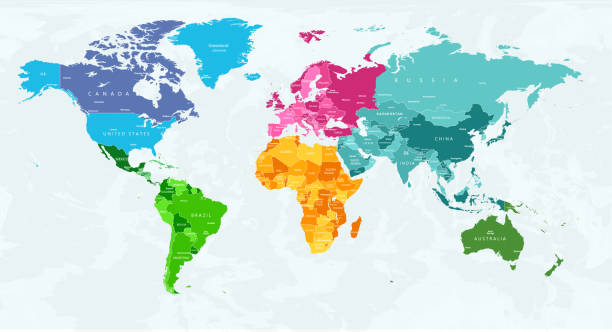
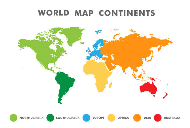
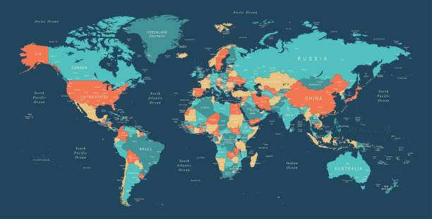
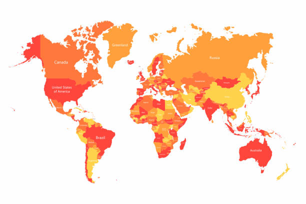
This highly detailed world map provides a visually striking and educational representation of Earth's continents, with each continent color-coded to ensure easy identification and differentiation. Ideal for students, teachers, and geography enthusiasts, this map can be used as a learning tool to study geographical regions, country borders, and the overall layout of the world. The color-coding allows viewers to immediately recognize continents, making it perfect for presentations, classroom use, or even as wall decor in offices and homes. In addition, this map is available in multiple color schemes, each version highlighting the continents in unique shades, offering versatility for various preferences and settings. Whether used for research, education, or decoration, this map serves as a functional and aesthetically pleasing resource for understanding global geography.World map, color-coded continents, educational map, detailed world map, global geography, interactive map, geographical boundaries, geography learning tool, world regions map, map for classrooms.
World Map EPS 10 Vector Illustration
vector of the World map
Globe line icons. World sphere with longitude and latitude, travel and destination concept. Vector web interface outline symbols set for business concept flights with outlines continents on globe

Australia and Oceania Region. Colorful map of countries in South Pacific Ocean. Vector illustration.
earth globe collection. set of black earth globes, isolated on transparent background. four world map icons in flat design. earth globe in modern simple style. world maps for web design. vector illustration
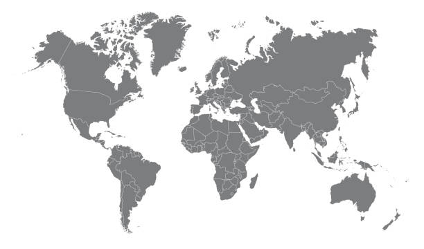
Highly detailed vector World map, with gray countries and white borders on a white background. High detail vector illustration
Vector of highly detailed world map - each country outlined and has its own labeled layer - The url of the reference file is : http://www.lib.utexas.edu/maps/world.html - 1 layer of data used for the detailed outline of the land
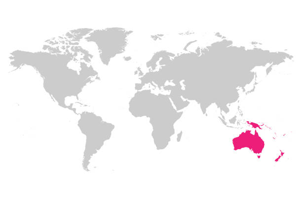
Australia continent pink marked in grey silhouette of World map. Simple flat vector illustration.
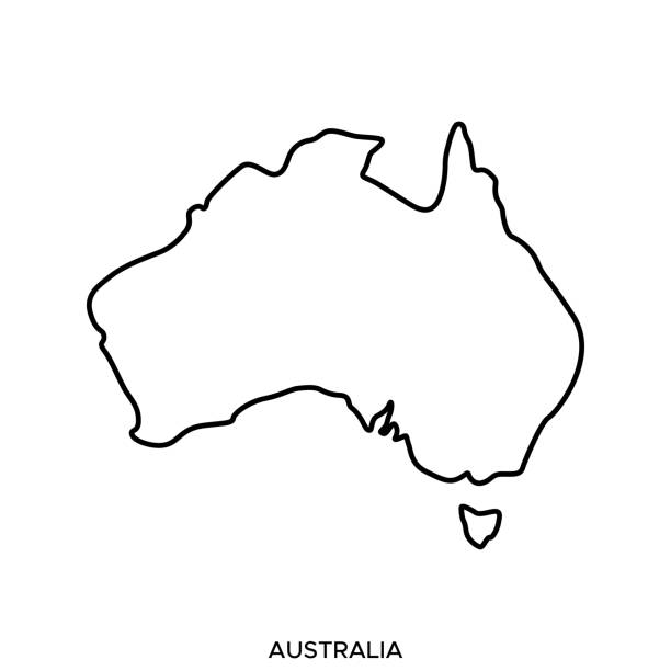
Australia Outline Map Vector Stock Illustration Design Template. Editable Stroke. Vector eps 10.
Australia map icon, geography blank concept, isolated graphic background vector illustration .
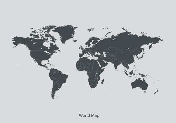
High Detailed World Map Color - borders, countries and cities - vector illustration

simple black world map from thin line. concept of infographics element, trip around the world, globalization. isolated on gray background. flat style trend modern design vector illustration

Clean and shiny lightbulb with Australia as a glowing wire.(series)
World Map EPS 10 Vector Illustration

Vector Illustration World Map on White Background. Courtesy of the PCL Map Collection: http://www.lib.utexas.edu/maps/world.html (Public Domain PCL Map Collection).

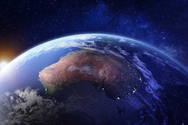
Surface of the Planet Earth viewed from a satellite, focused on Australia. 3D illustration (Blender software) - Elements of this image furnished by NASA (https://eoimages.gsfc.nasa.gov/images/imagerecords/73000/73776/world.topo.bathy.200408.3x5400x2700.jpg).
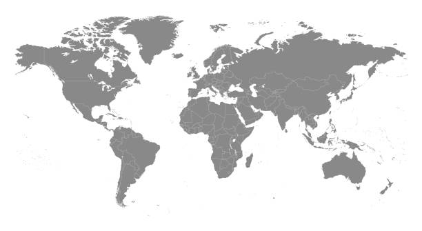
World Map North America, South America, Africa, Europe, Asia, Oceania Continents and Oceans on white background
Vector World map with countries borders. Abstract red and yellow World countries on map. Planet Earth with borders

Polygonal map. Digital globe map, blue polygons earth maps and world internet connection 3d grid. Global earth map, geography mapping futuristic atlas vector concept illustration