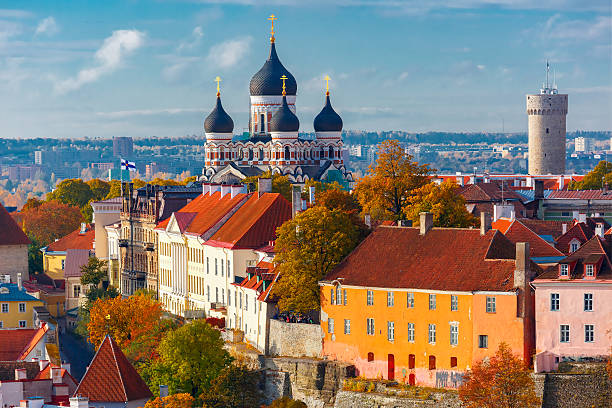
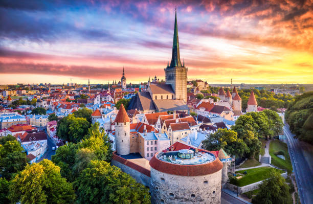
Toompea hill with tower Pikk Hermann and Russian Orthodox Alexander Nevsky Cathedral, view from the tower of St. Olaf church, Tallinn, Estonia
Browse 1,293,700+ baltic countries stock photos and images available, or search for lithuania or baltic sea to find more great stock photos and pictures.
Toompea hill with tower Pikk Hermann and Russian Orthodox Alexander Nevsky Cathedral, view from the tower of St. Olaf church, Tallinn, Estonia
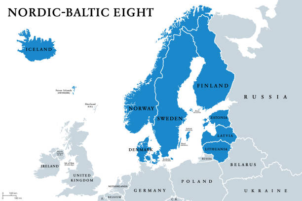
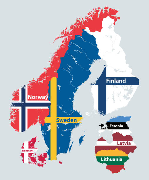
Nordic-Baltic Eight (NB8) member states political map. Regional co-operation format of Denmark, Estonia, Finland, Iceland, Latvia, Lithuania, Norway and Sweden. English labeling. Illustration. Vector.
Tallinn Old Town aerial view from fat Margaret tower at sunset. Estonia
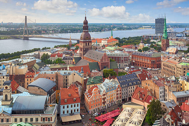
A view over central Riga, Latvia, with Riga Cathedral and Daugava River in the background.
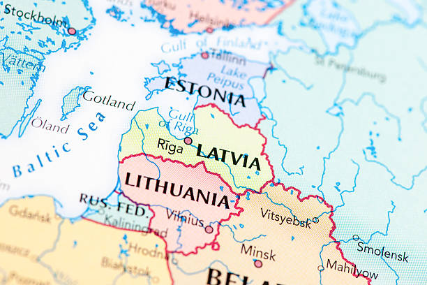
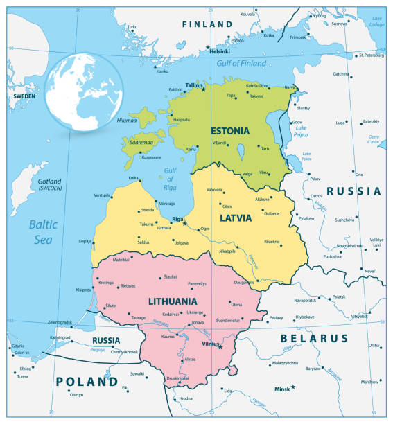
Baltic States Political Map. Estonia, Latvia and Lithuania with capitals Tallinn, Riga and Vilnius. With national borders, important cities, rivers and lakes. English labeling and scaling.

aerial view of Alexander Nevsky cathedral and St Mary's Cathedral at sunset in Tallinn, Estonia

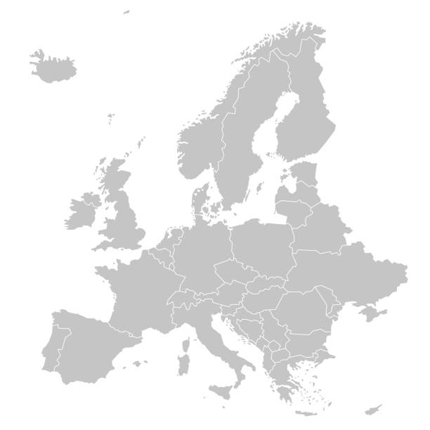
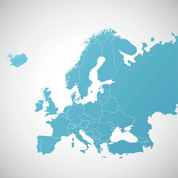
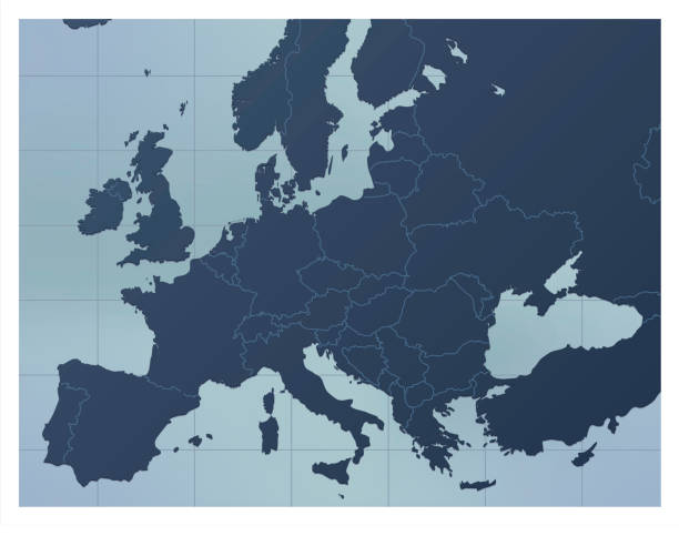
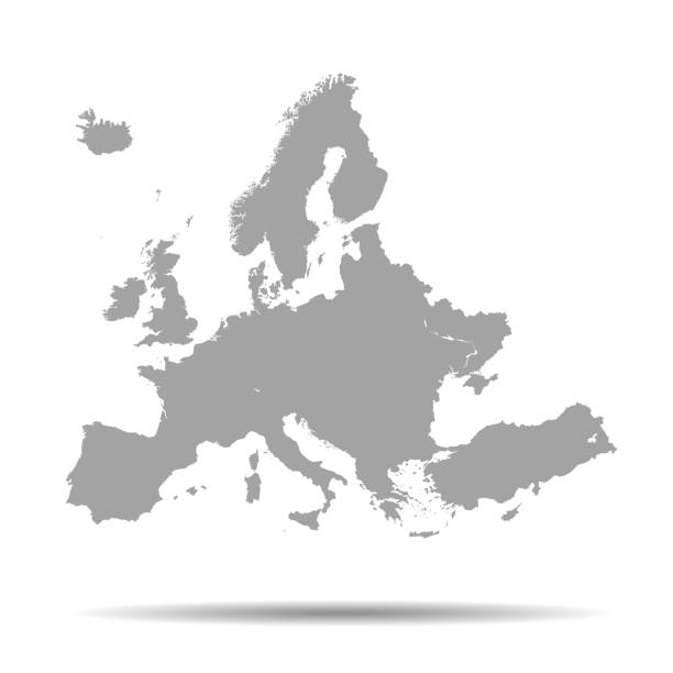
Europe, gray political map. Continent and part of Eurasia, located in the Northern Hemisphere, with about 50 sovereign states. Map with borders and English country names. Gray illustration over white.

Long exposure photo of Viru Gate with Tallinn Town Hall on background at dusk with Street Lighting. Tallinn, Estonia
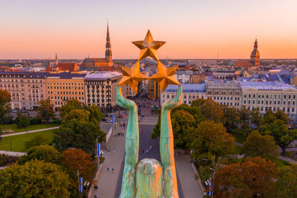
An amazing Aerial View of the Statue of Liberty Milda in Riga, Latvia during sunset

Photo of pinned Riga on a map of europe. May be used as illustration for traveling theme.

Toompea hill with tower Pikk Hermann and Russian Orthodox Alexander Nevsky Cathedral, view from the tower of St. Olaf church, Tallinn, Estonia
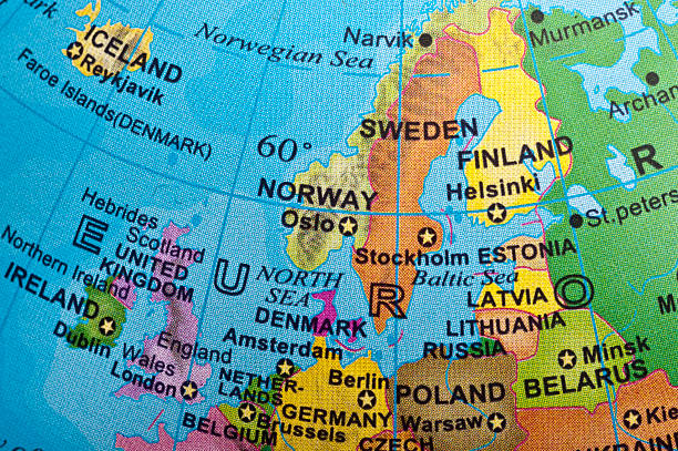
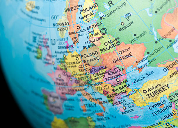
Northern Europe in a small desktop globe (this picture has been shot with a High Definition Hasselblad H3D II 31 megapixels camera and 120 mm f4H Hasselblad macro lens)
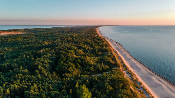
Beautiful landscape of Curonian spit on the Baltic sea with forest, beach and sea at sunset. aerial shot from drone. nature photography

Baltic nations region detailed editable map with cities and towns, roads and railways. Vector EPS-10 file

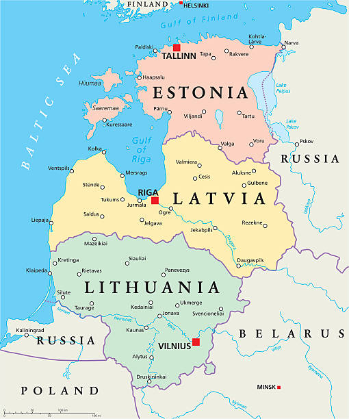
The Baltic States or the Baltic countries, political map. Geopolitical term encompassing Estonia, Latvia, and Lithuania, sometimes simply called the Baltics, all three members of the European Union.

Vienna / Austria - April 18, 2019: Air Baltic Airbus A220-300 YL-CSJ passenger plane arrival and landing at Vienna International Airport
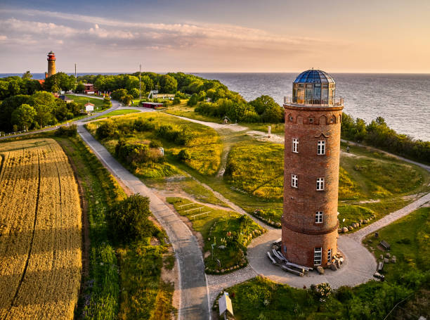
drone view of lighthouses in sunset from northern part of island of Ruegen - called Kap Arkona

Baltic States and Kaliningrad Oblast, gray political map. From Finland to Estonia, Latvia and Lithuania to Poland, and from the Russian exclave Kaliningrad, to Belarus and the European Part of Russia.
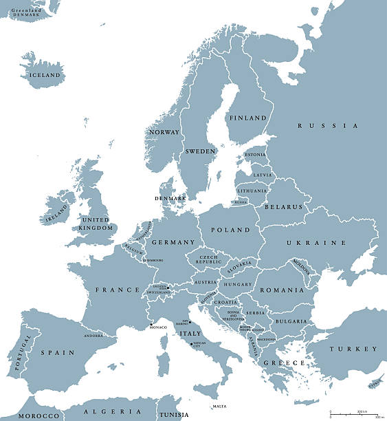
Europe countries political map with national borders and country names. English labeling and scaling. Illustration on white background.
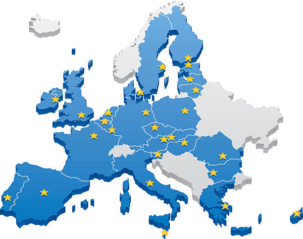
Map of the European Union. Capitals and borders can be easily removed in the vector file.
Political Map of the Baltic States. Vector illustration.

Rectangular piece of birch plywood with a natural texture. Isolated on white background

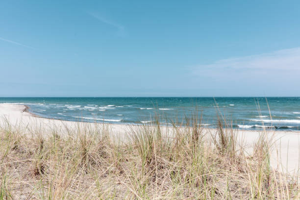
Sandy beach and dune with grass at the Baltic sea beach. Beautiful sea landscape.
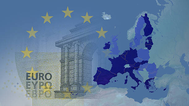
View on the globe zoomed on Eurozone: Austria, Belgium, Cyprus, Estonia, Finland, France, Germany, Greece, Ireland, Italy, Luxembourg, Malta, Netherlands, Portugal, Slovakia, Slovenia,Spain, Latvia, including Lithuania (1 -1-2015) in dark blue.
A dark blue Europe map. Good for your geographical presentations, websites and for printing.
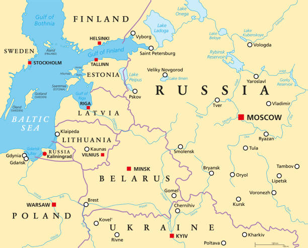
Baltic States and Kaliningrad, political map. From Finland to Estonia, Latvia and Lithuania, to Poland, and from the Russian exclave Kaliningrad Oblast, to Belarus, and to the European Part of Russia.
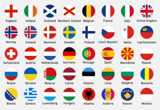
National flags of european countries with captions. Set of vector icons illustration for national events, travel and holidays.

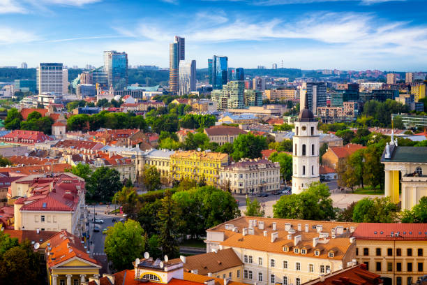
Tallinn Cityscape with St Olaf's Church on Toompea Hill Estonia. Old Town Aerial Drone Cityscape View in Summer Sunset Twilight. Panorama view over the Old Town on Toompea Hill with St Olaf's Church in the Foreground together with surrounding Toompea Hill Old Town Buildings and fortified wall. XXXL Stitched 180 degrees Panorama Shot. Tallinn, Toompea Hill, Old Town Tallinn, Estonia, Northern Europe
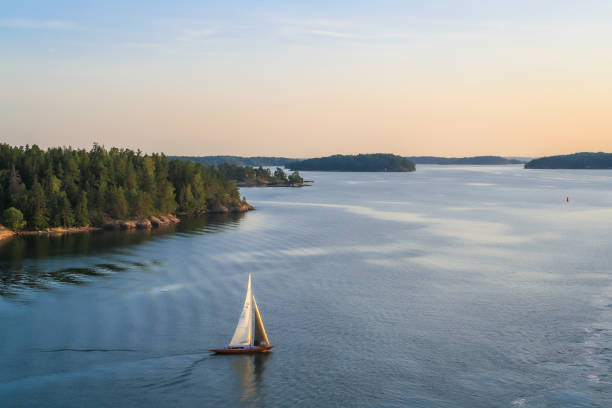
Sailboat in Stockholm Archipelago. Picture taken during a Baltic Sea cruise in August 2019.
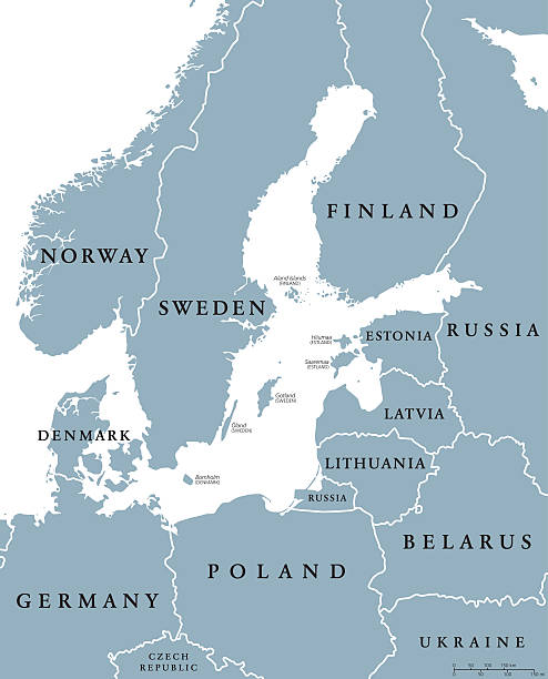
Baltic Sea area countries political map with national borders. Nations and states of Scandinavia. English labeling and scaling. Gray illustration on whhite background.

Container ship in export and import. International shipping cargo. Aerial view

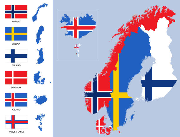
Nordic Council members, political map. Cooperation among the Nordic states Denmark, Finland, Iceland, Norway and Sweden, the autonomous territories Faroe Islands and Greenland, and the region Aland.

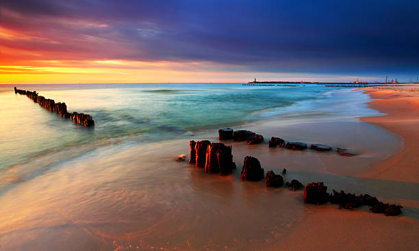
Fishing boat on Baltic sea beach at Rewal in Poland
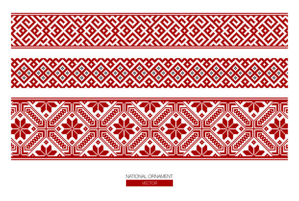
Slavic red and Belarusian national ornament. Embroidery.
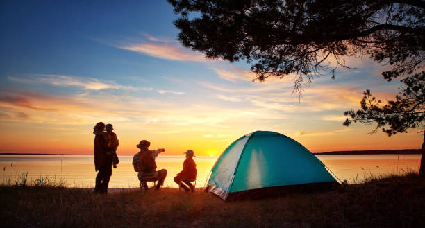
Family resting with tent in nature at sunset. Woman, man and children near seaside
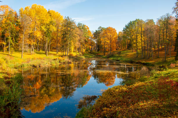
Wonderful autumn landscape with beautiful yellow and orange colored trees, lake or river
vector of the Europe map

Fishes go for spawning upstream. Vimba jumps over waterfall on the Venta River, Kuldiga, Latvia.

The iconic bridges over the River Tyne between Newcastle and Gateshead have become famous and attract many visitors to the quayside
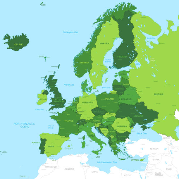
High Detail Green Vector Map centered on Europe.
© 2025 iStockphoto LP. The iStock design is a trademark of iStockphoto LP. Browse millions of high-quality stock photos, illustrations, and videos.
Do Not Sell or Share