Map of USA with long shadow style on colored circle buttons. Two map versions included in the bundle: - One white map on a pink / red circle button. - One white map on a blue circle button. Vector Illustration (EPS file, well layered and grouped). Easy to edit, manipulate, resize or colorize. Vector and Jpeg file of different sizes.
Images
Blue Map United States Pictures, Images and Stock Photos
View blue map united states videos
Browse 70,600+ blue map united states stock photos and images available, or start a new search to explore more stock photos and images.
Most popular

United States - Highly Detailed Vector Map of the USA. Ideally for the Print Posters
Vector of Highly Detailed Map of the United States of America- The url of the reference file is : https://www.cia.gov/library/publications/the-world-factbook/graphics/ref_maps/pdf/united_states.pdf
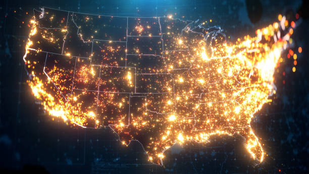
Night Map of USA with City Lights Illumination. 3D render
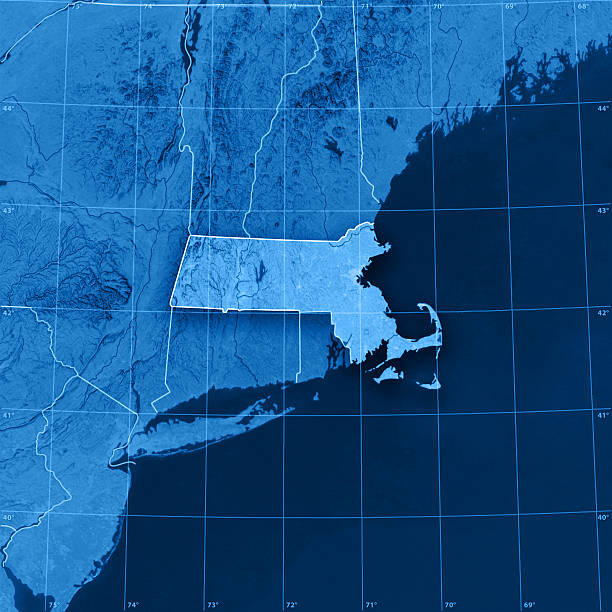
"3D render and image composing: Topographic Map of the U.S. state of Massachusetts. Including state borders, rivers and accurate longitude/latitude lines. High quality relief structure!Relief texture and satellite images courtesy of NASA. Further data source courtesy of CIA World Data Bank II database.Related images:"
Our creative library is free of AI-generated contentChoose your visuals with confidence knowing our creative library is free from AI-generated content, so your searches only return safe, high-quality visuals you can trust.

USA connected dots polygonal map. Vector United States map polygon style.
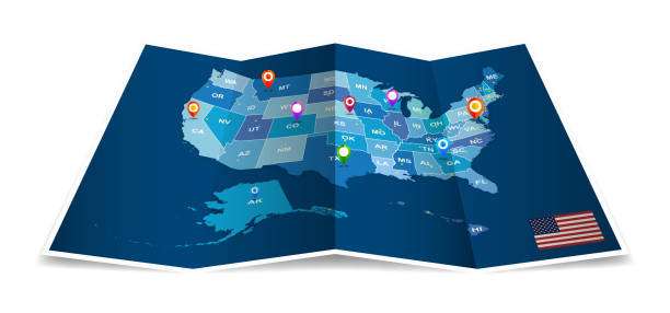
Usa map with map icons. United states of america map, Can be used for business designs, presentation designs or any suitable designs.

United States technology modern innovation circuit board computer map shape.
http://s017.radikal.ru/i404/1110/87/2c00b7bbd3ec.jpgHighly detailed map of the North America with countries, cities and other labels.

USA seen from space at night. Glowing maps of USA. 3D render. Earth textures are taken from NASA public domain

Chicago IL City Vector Road Map Blue Horizontal. All source data is in the public domain. U.S. Census Bureau Census Tiger. Used Layers: areawater, linearwater, roads.

2024 US United States presidential election electoral college vote map results

3D Render of a Topographic Map of the State of Massachusetts, USA. All source data is in the public domain. Boundaries Level 1: USGS, National Map, National Boundary Data. https://viewer.nationalmap.gov/basic/#productSearch Relief texture and Rivers: SRTM data courtesy of USGS. URL of source image: https://e4ftl01.cr.usgs.gov//MODV6_Dal_D/SRTM/SRTMGL1.003/2000.02.11/ Water texture: SRTM Water Body SWDB: https://dds.cr.usgs.gov/srtm/version2_1/SWBD/
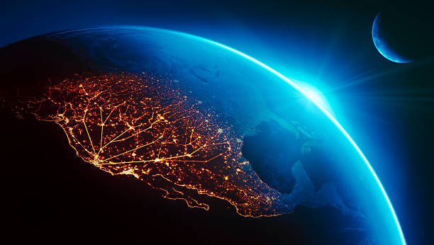
California (Silicon Valley) connected to night lights of US west coast as sun rises.Globe maps courtesy of NASA:
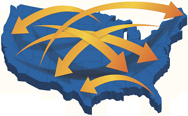

Illustration of Earth with watercolor texture on white background. Travel сoncept. Education school geography. Isolated vector watercolor hand drawn paint design element.

Hires JPEG (5000 x 5000 pixels) and EPS10 file included.

Vector illustration with simplified blue silhouette of United States of America (USA) map. Polygonal geometric style, triangular shapes. White background.
Sea Depth Topographic Map With Route And Coordinates Conceptual User Interface Blue Abstract Background. Bermuda Triangle

Global business and stock market blue background, with charts, diagrams, world maps and data arranged on grid and tables. Globe showing internet and network connections between countries. World maps showing continents and countries with economy data and growth diagrams. State of the world. Diminishing perspective. Light focusing on map.


North America map with polygonal glowing shapes. World map linear continent with lighting dots. North America continent with triangular line elements. Vector isolated on blue gradient background.

United States of America political map of administrative divisions - states and federal district Washington, D.C. Solid blue blank vector map with white borders.

Deep blue layers abstract water background concept.

USA Country Regions Map on a white background, vector illustration of a flat silhouette in Gradient blue mixed colors.

Map of USA. Floating blue plexus geometric background. Creative abstract vector illustration. High tech, communications and travel. Effect of motion luminous particles and points. Polygonal graphic forms.

Polygonal wireframe mesh icon with crumbled edge on blue night sky with dots, stars and looks like constellation. Tr, internet, Earth or other concept illustration or background

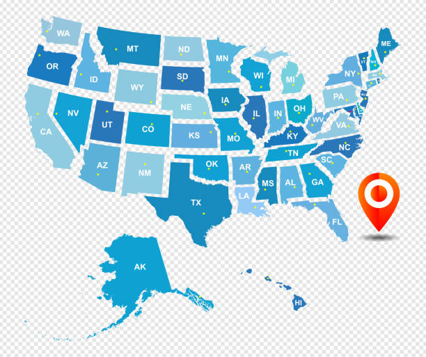
"A red pushpin pointing to Atlanta, Georgia on a map."


Abstract - High Detailed blue Map of Washington isolated on white background. for your web site design map logo, app, ui, Travel. Vector illustration eps10.


illustration of a territory of United States of America with flag contour on isolated black background
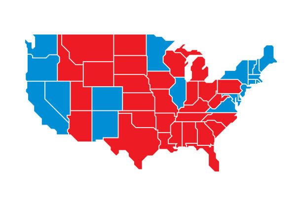
Vector illustration of a red and blue election United States map against a white background in flat style.

3D render and image composing: Topographic Map of California, USA. Isolated on White. High quality relief structure!

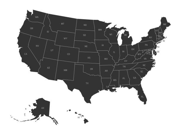
Map of United States of America with state codes. Simplified dark grey silhouette vector map on white background.
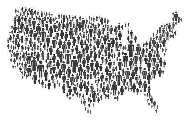
Vector of USA Map Made of Grey Stickman Figures

Illustration contains a transparency blends/gradients. EPS 10

Dotted USA election flag map perspective view on blue background. Hires JPEG (5000 x 5000 pixels) and EPS10 file included.
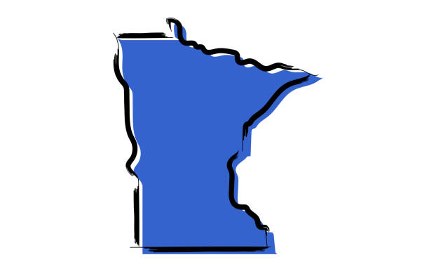
Stylized blue sketch map of Minnesota on white background


Vector illustration of watercolor painting.

Futuristic World map - USA region. World map derived from NASA Visible Earth: https://visibleearth.nasa.gov/view.php?id=74218

Detailed map of regions of USA in turquoise color on white. 3D rendering

USA flag map. Vector design.

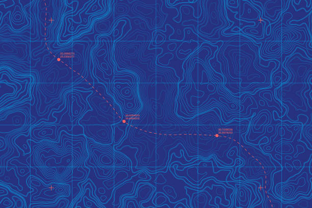
Blue Topographic Contour Map Vector Abstract Background. Render Wavy Lines Ultra Wallpaper. Conceptual Sci-Fi Marine Technology Futuristic Line Art Illustration

USA map flag. Detailed map with divided states with separate layer for each state. Vector illustration

3D Render of a Topographic Map of the State of Virginia, USA. All source data is in the public domain. Boundaries Level 1: USGS, National Map, National Boundary Data. https://viewer.nationalmap.gov/basic/#productSearch Relief texture and Rivers: SRTM data courtesy of USGS. URL of source image: https://e4ftl01.cr.usgs.gov//MODV6_Dal_D/SRTM/SRTMGL1.003/2000.02.11/ Water texture: SRTM Water Body SWDB: https://dds.cr.usgs.gov/srtm/version2_1/SWBD/

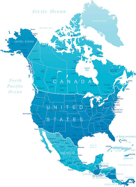
Vector illustration of the map of the United States of America and Canada in blue color and white outline.

A USA map on a striped background. Hires JPEG (5000 x 5000 pixels) and EPS10 file included. File contains gradient mesh (eps10).


Print map of North America for t-shirt, poster or geographic themes. Hand-drawn colorful map with states and capital names. Vector modern Illustration.Detailed illustration map shape can be use for presentation,chart,template and report.white background.

USA Map by State Results Presidential Elections 2012. 3D Rendering Illustration

Topographic map lines blue water travel modern background.

Logistics connection circuit board modern networking abstract line dash curve background design.