Images
Burkina Faso On World Map Images and Stock Photos
Browse 490+ burkina faso on world map stock photos and images available, or start a new search to explore more stock photos and images.

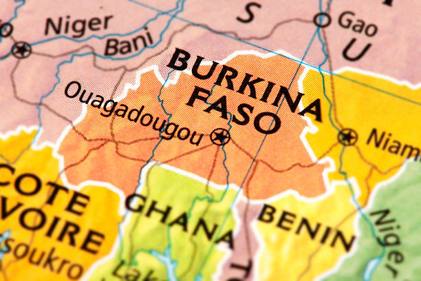
Map of Burkina Faso. A detail from the World Map provided by RAND McNALLY.
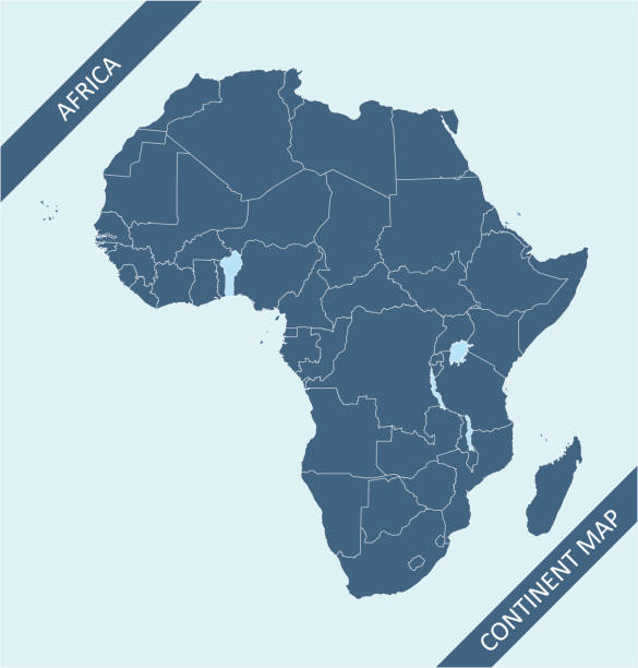
Africa map vector outline illustration with countries borders in blue background. Highly detailed accurate map of African continent prepared by a map expert.
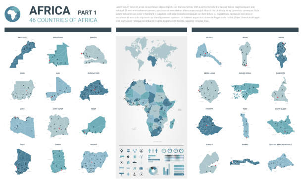
Our creative library is free of AI-generated contentChoose your visuals with confidence knowing our creative library is free from AI-generated content, so your searches only return safe, high-quality visuals you can trust.
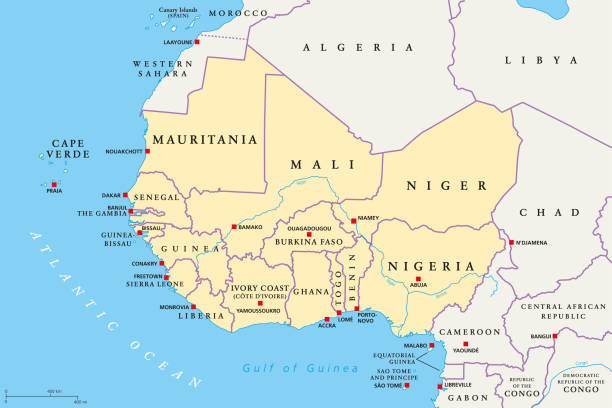
West Africa region, political map. Area with capitals and borders. The westernmost countries on the African continent, also called Western Africa. English labeling. Illustration. Vector.
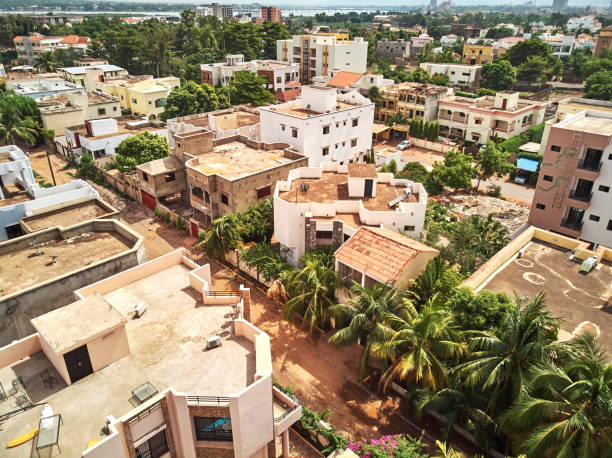
Bamako is the capital and largest city of Mali, with a population of 1.8 million. In 2006, it was estimated to be the fastest-growing city in Africa and sixth-fastest in the world. It is located on the Niger River, near the rapids that divide the upper and middle Niger valleys in the southwestern part of the country.
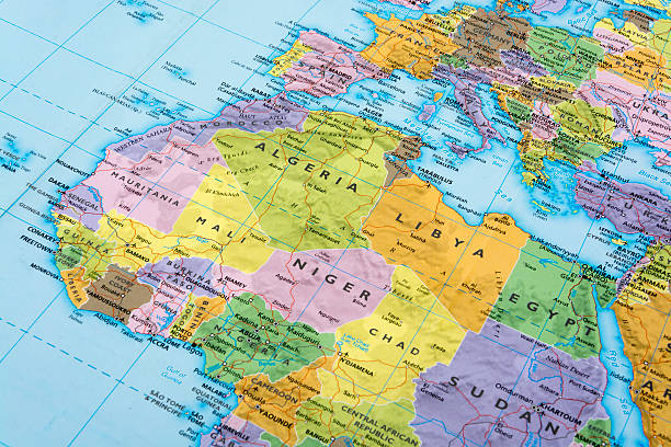
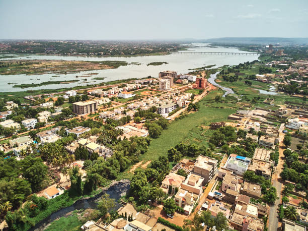
Bamako is the capital and largest city of Mali, with a population of 1.8 million. In 2006, it was estimated to be the fastest-growing city in Africa and sixth-fastest in the world. It is located on the Niger River, near the rapids that divide the upper and middle Niger valleys in the southwestern part of the country.
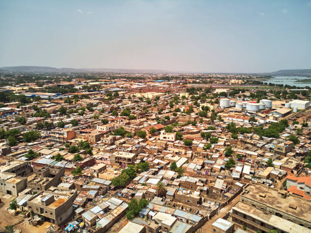
Bamako is the capital and largest city of Mali, with a population of 1.8 million. In 2006, it was estimated to be the fastest-growing city in Africa and sixth-fastest in the world. It is located on the Niger River, near the rapids that divide the upper and middle Niger valleys in the southwestern part of the country.
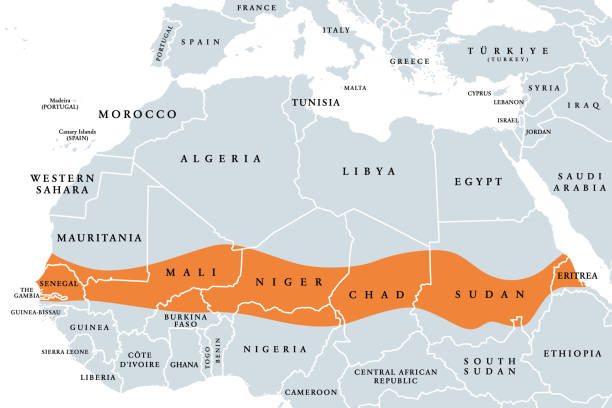
The Sahel, a region in Africa, political map. Ecoclimatic and biogeographic realm of transition between the Sahara to the north and the Sudanian savanna to the south, having a hot semi-arid climate.

ECOWAS, Economic Community of West African States, member states, political map. Also known as CEDEAO, is a regional political and economic union of 15 countries in West Africa. Isolated illustration.

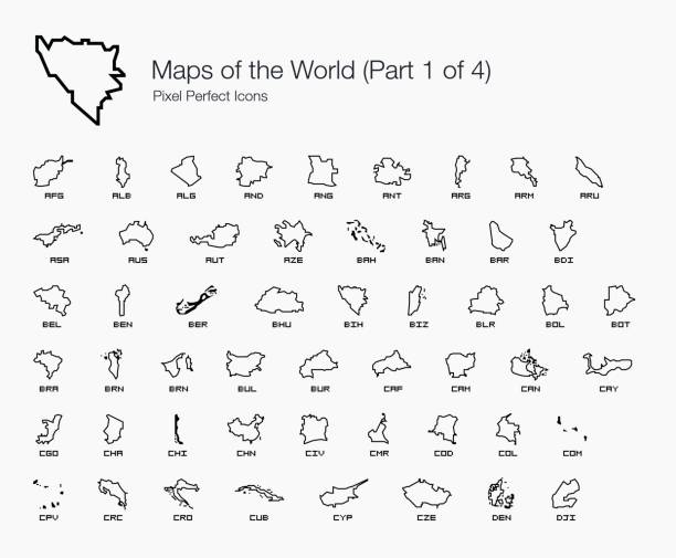
A set of pixel perfect vector icons for country maps from A to Z (Part 1).
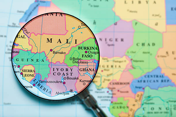
Mali map. Source: "World reference atlas"

Saharian and sub-Saharian Nations close up in an small world globe

West Africa region, political map. Area with borders. The westernmost countries on the African continent, also called Western Africa. Gray illustration on white background. Vector.
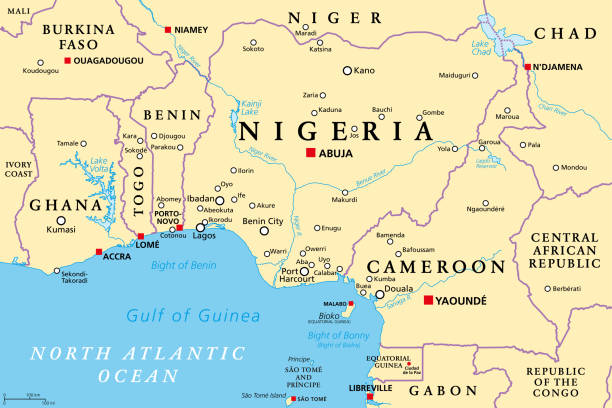
Nigeria and West Africa countries on the Gulf of Guinea, political map. Ghana, Togo, Benin, Nigeria, Cameroon, Equatorial Guinea, and Sao Tome And Principe, with borders, capitals and largest cities.
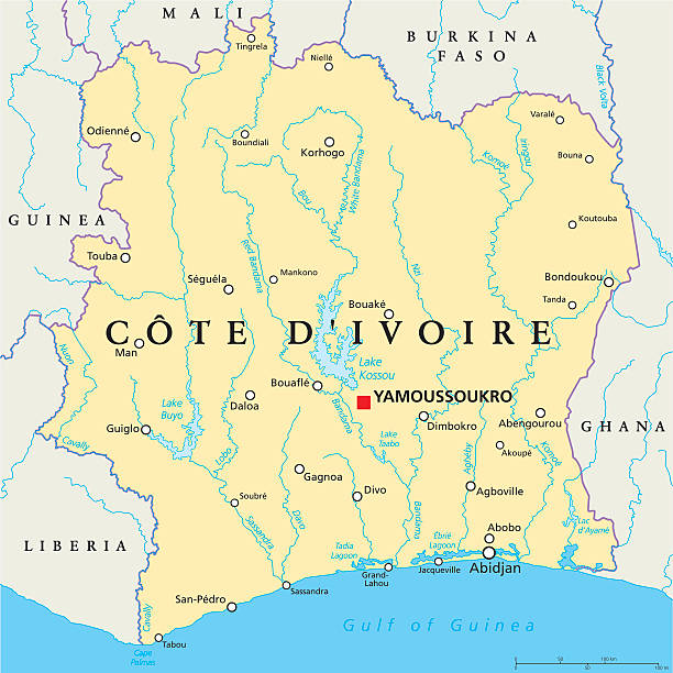
Cote D'Ivoire Political Map with capital Yamoussoukro, national borders, important cities, rivers and lakes. English labeling and scaling. Illustration.
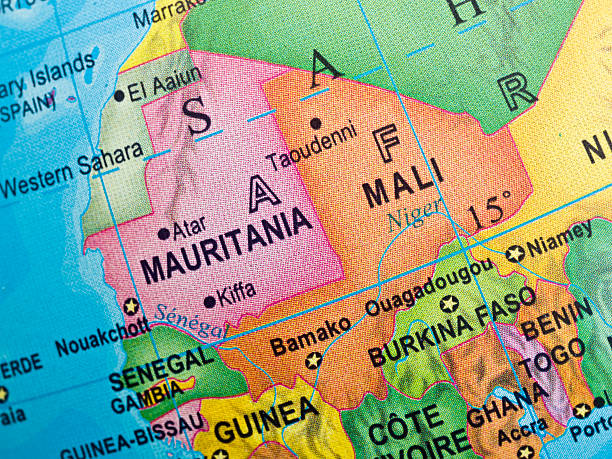

Photo of pinned Ouagadougou on a map of Africa. May be used as illustration for traveling theme.

Credit: https://www.nasa.gov/topics/earth/imagesThis detailed world map features the borders of each country, creatively overlaid with their respective national flags. A comprehensive and visually striking representation of the global nations in a single frame, ideal for educational resources, geographic illustrations, and presentations.

A modern digital artwork Burkina Faso map, outlined in glowing neon with halftone effects and national colors. This futuristic design blends minimalism and vibrancy, symbolizing pride and identity while placing Burkina Faso on the global stage. A striking fusion of geography and art that highlights cultural presence in a unique style.

Niger, landlocked country in West Africa, gray political map with borders, regions, capital Niamey and largest cities. The Republic of the Niger, a unitary state. Most of its area lies in the Sahara.


Bamako is the capital and largest city of Mali, with a population of 1.8 million. In 2006, it was estimated to be the fastest-growing city in Africa and sixth-fastest in the world. It is located on the Niger River, near the rapids that divide the upper and middle Niger valleys in the southwestern part of the country.
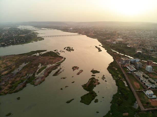
Bamako is the capital and largest city of Mali, with a population of 1.8 million. In 2006, it was estimated to be the fastest-growing city in Africa and sixth-fastest in the world. It is located on the Niger River, near the rapids that divide the upper and middle Niger valleys in the southwestern part of the country.

Bamako is the capital and largest city of Mali, with a population of 1.8 million. In 2006, it was estimated to be the fastest-growing city in Africa and sixth-fastest in the world. It is located on the Niger River, near the rapids that divide the upper and middle Niger valleys in the southwestern part of the country.


Burkina Faso - blue map with neighboring countries and names. Vector illustration


Burkina Faso - Detailed Map with Regions and Cities. Set of Flags, Globe, Country Outline, Country Location on World Map.
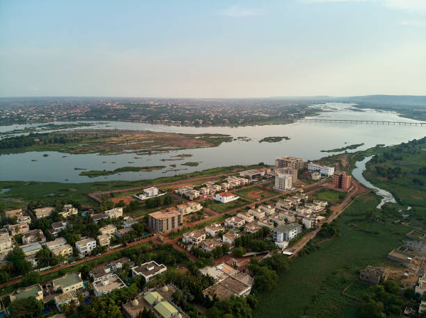
Bamako is the capital and largest city of Mali, with a population of 1.8 million. In 2006, it was estimated to be the fastest-growing city in Africa and sixth-fastest in the world. It is located on the Niger River, near the rapids that divide the upper and middle Niger valleys in the southwestern part of the country.

Black map collection, black contour maps of World. Map collection Part 4.

Cyan Neon Burkina Faso Text Futuristic Digital Halftone Typography Illustration. Glowing Cyan Wordmark “Burkina Faso” with Sleek Cyberpunk Light Effect on a Dark Gradient Background. Modern Tech-Inspired Design Featuring Vibrant Neon Blue Typography and Halftone Dots, Perfect for Digital Art, Sci-Fi Themes, Branding, Gaming Interfaces, and Futuristic Visual Projects.

West Africa Map - Detailed Info Graphic Vector Illustration
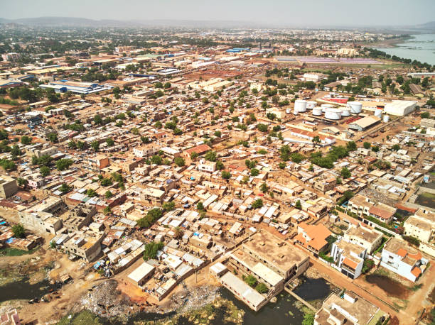
Bamako is the capital and largest city of Mali, with a population of 1.8 million. In 2006, it was estimated to be the fastest-growing city in Africa and sixth-fastest in the world. It is located on the Niger River, near the rapids that divide the upper and middle Niger valleys in the southwestern part of the country.

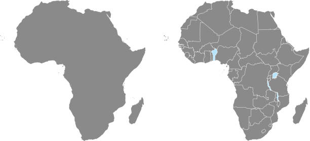
Africa map vector outline illustration with countries borders in gray background. Highly detailed accurate map of African continent prepared by a map expert.

Bamako is the capital and largest city of Mali, with a population of 1.8 million. In 2006, it was estimated to be the fastest-growing city in Africa and sixth-fastest in the world. It is located on the Niger River, near the rapids that divide the upper and middle Niger valleys in the southwestern part of the country.

Bamako is the capital and largest city of Mali, with a population of 1.8 million. In 2006, it was estimated to be the fastest-growing city in Africa and sixth-fastest in the world. It is located on the Niger River, near the rapids that divide the upper and middle Niger valleys in the southwestern part of the country.

Burkina Faso map highlighted in Burkina Faso flag colors and pin of country capital Ouagadougou, map with neighboring African countries.

Abstract blue world map with magnified Burkina Faso. Burkina Faso flag and map. Vector Illustration.

Map of Burkina Faso on political globe with watery oceans and embossed continents. 3D illustration isolated on white background. 3D model of planet created and rendered in Cheetah3D software, 9 Mar 2017. 3D mesh created manually by cutting out the countries based on precise world map.

Burkina Faso-Mali close up in an small world globe (this picture has been shot with a High Definition Hasselblad H3D II 31 megapixels camera and 120 mm f4H Hasselblad macro lens)


Bamako is the capital and largest city of Mali, with a population of 1.8 million. In 2006, it was estimated to be the fastest-growing city in Africa and sixth-fastest in the world. It is located on the Niger River, near the rapids that divide the upper and middle Niger valleys in the southwestern part of the country.

Detailed map of Burkina Faso with country flag and location on world map. Vector illustration


Bamako is the capital and largest city of Mali, with a population of 1.8 million. In 2006, it was estimated to be the fastest-growing city in Africa and sixth-fastest in the world. It is located on the Niger River, near the rapids that divide the upper and middle Niger valleys in the southwestern part of the country.


Bamako is the capital and largest city of Mali, with a population of 1.8 million. In 2006, it was estimated to be the fastest-growing city in Africa and sixth-fastest in the world. It is located on the Niger River, near the rapids that divide the upper and middle Niger valleys in the southwestern part of the country.

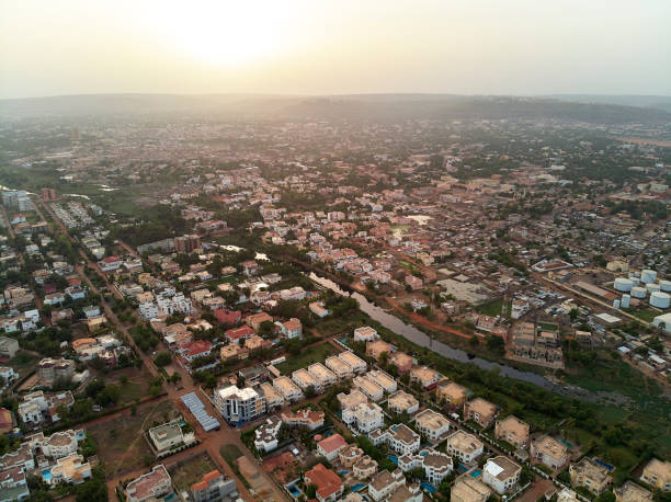
Bamako is the capital and largest city of Mali, with a population of 1.8 million. In 2006, it was estimated to be the fastest-growing city in Africa and sixth-fastest in the world. It is located on the Niger River, near the rapids that divide the upper and middle Niger valleys in the southwestern part of the country.

Bamako is the capital and largest city of Mali, with a population of 1.8 million. In 2006, it was estimated to be the fastest-growing city in Africa and sixth-fastest in the world. It is located on the Niger River, near the rapids that divide the upper and middle Niger valleys in the southwestern part of the country.

Bamako is the capital and largest city of Mali, with a population of 1.8 million. In 2006, it was estimated to be the fastest-growing city in Africa and sixth-fastest in the world. It is located on the Niger River, near the rapids that divide the upper and middle Niger valleys in the southwestern part of the country.


Niger, landlocked country in West Africa, political map with borders, regions, the capital Niamey and largest cities. The Republic of the Niger is a unitary state. Most of its area lies in the Sahara.

Sudanian savanna, political map. Broad belt of tropical savanna across the African continent, divided into two ecoregions. West (Atlantic to Nigeria) and East Sudanian savanna (Cameroon to Ethiopia).

Bamako is the capital and largest city of Mali, with a population of 1.8 million. In 2006, it was estimated to be the fastest-growing city in Africa and sixth-fastest in the world. It is located on the Niger River, near the rapids that divide the upper and middle Niger valleys in the southwestern part of the country.

Bamako is the capital and largest city of Mali, with a population of 1.8 million. In 2006, it was estimated to be the fastest-growing city in Africa and sixth-fastest in the world. It is located on the Niger River, near the rapids that divide the upper and middle Niger valleys in the southwestern part of the country.
of9Next