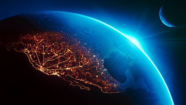
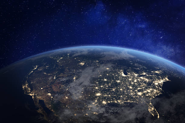
California (Silicon Valley) connected to night lights of US west coast as sun rises.Globe maps courtesy of NASA:
Browse 5,900+ california globe stock photos and images available, or search for california map or california satellite to find more great stock photos and pictures.
California (Silicon Valley) connected to night lights of US west coast as sun rises.Globe maps courtesy of NASA:
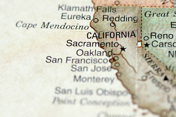
A macro photograph of Sacramento, California and surrounding area from a desktop globe. Adobe RGB color profile.

California state highlighted in blue on 3D map of the United States
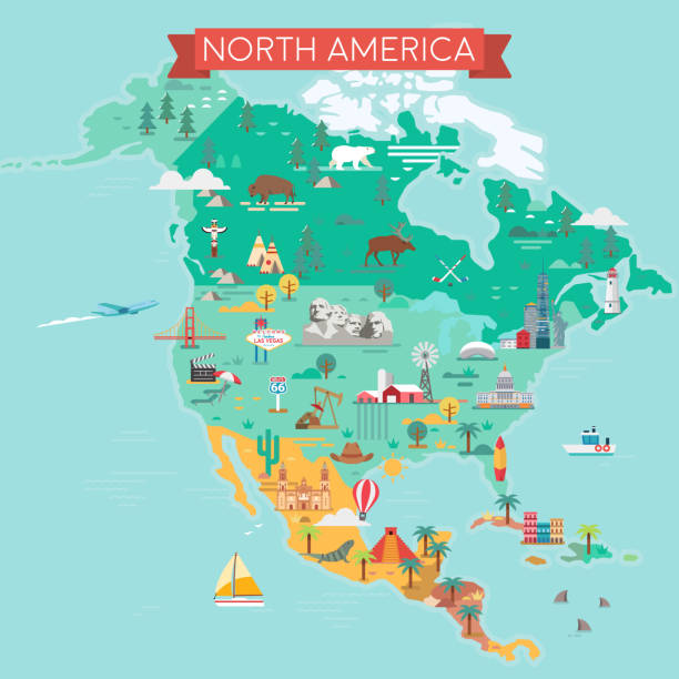
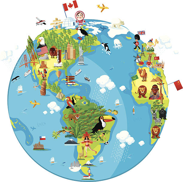
North America Map. Tourist and travel landmarks, vector illustration.

America at night viewed from space with city lights showing activity in United States. 3d render of planet Earth. Elements from NASA. Technology, global communication, world. USA. (https://visibleearth.nasa.gov/view.php?id=57752)
Sun retro badge icon set. Abstract ocean view background inside circles shapes illustrations symbol. Sign summer vector desing.
North America at night viewed from space with city lights showing human activity in United States (USA), Canada and Mexico, New York, California, 3d rendering of planet Earth, elements from NASA (https://eoimages.gsfc.nasa.gov/images/imagerecords/57000/57752/land_shallow_topo_2048.jpg)
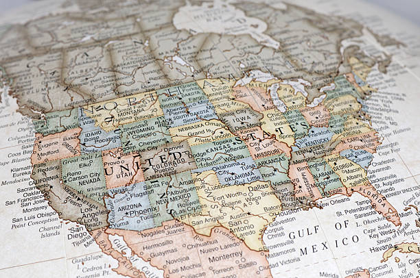
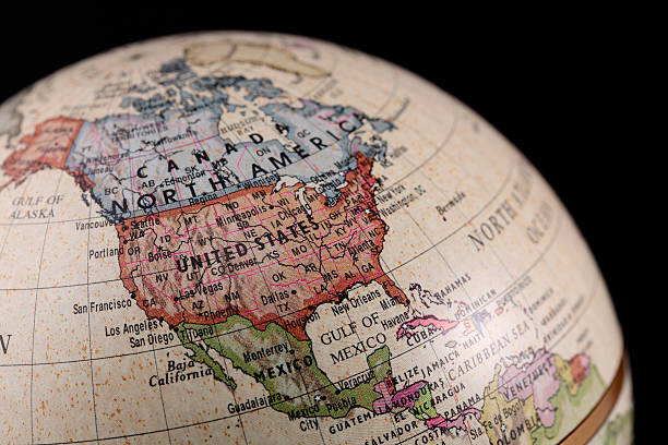
A close-up/macro photograph of the United States of America from a desktop globe. Adobe RGB color profile.

Shallow depth of field with California in focus on a vintage globe.

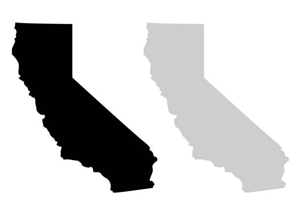
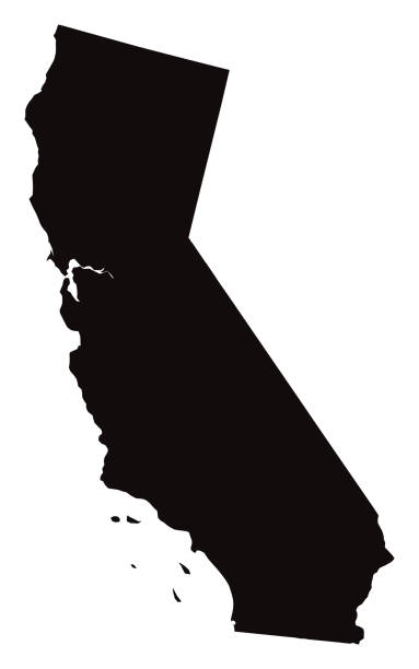
Map of California State on a white background, Vector illustration

Telecommunication network above North America and United States viewed from space for American 5g LTE mobile web, global WiFi connection, Internet of Things (IoT) technology or blockchain fintech. Some elements from NASA (https://eoimages.gsfc.nasa.gov/images/imagerecords/57000/57752/land_shallow_topo_2048.jpg)
http://farm8.staticflickr.com/7189/6818724910_54c206caf8.jpg

Singapore - May 2, 2018: Universal Studios world globe in green light, with tourists visiting this Hollywood movie theme park in Sentosa island.

Orlando, Florida, USA - May 09, 2018: The Hogwarts Castle at The Wizarding World Of Harry Potter in Adventure Island of Universal Studios Orlando. Universal Studios Orlando is a theme park in Orlando, Florida

Telecommunication network above North America from space by night with city lights in USA, Canada and Mexico, satellite orbiting Planet Earth for Internet of Things IoT and blockchain technology (https://eoimages.gsfc.nasa.gov/images/imagerecords/57000/57752/land_shallow_topo_2048.jpg)

Earth maps courtesy of NASA: http://visibleearth.nasa.gov/

Representation of United States divided into states and regions. Infographic.
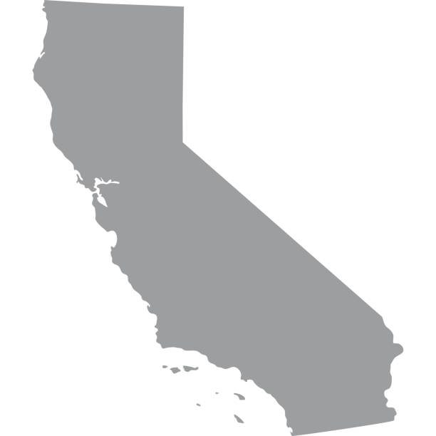
map of the U.S. state of California

Colton's Common School Geography 1881 New York Sheldon and Co.
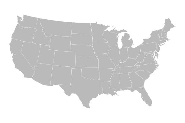
Blank similar USA map isolated on white background. United States of America country. Vector template for website, design, cover, infographics. Graph illustration.
http://i.istockimg.com/file_thumbview_approve/18513013/1/stock-photo-18513013-globe.jpg
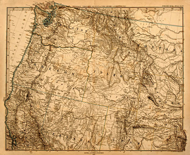
Original vintage map of the US Pacific Northwest printed in 1875.
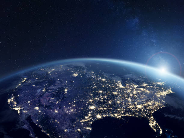
America at night viewed from space with city lights showing activity in United States. 3d render of planet Earth. Elements from NASA. Technology, global communication, world. USA. (https://visibleearth.nasa.gov/view.php?id=57752)

California network map. Abstract polygonal US state map design. Internet connections vector illustration.

Abstract image California map from point blue and glowing stars on a dark background. vector illustration.

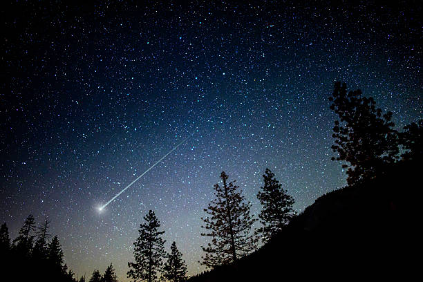
Milky Way lining up perfectly with mountains in Mammoth Lakes, California.

Film Encircled Earth. Planet Earth image credit NASA - https://eoimages.gsfc.nasa.gov/images/imagerecords/73000/73909/world.topo.bathy.200412.3x5400x2700.jpg
Vector of Highly Detailed Map of California State of the United States of America - The url of the reference file is : https://www.cia.gov/library/publications/the-world-factbook/graphics/ref_maps/pdf/united_states.pdf
Travel Landmark Icons - Thin Line Vector illustration

Pacific Rim North America, Canada, Siberia Russia and Hawaii Global World

Set of vector polygonal California maps. Bright gradient map of the US state in low poly style. Multicolored California map in geometric style for your infographics.

North America map. USA, Canada, Mexico, Cuba, Guatemala, Haiti, Dominican Republic, Honduras, Nicaragua maps with regions. Map isolated on white background. High detailed green

Global network concept. Maps used for the After Effects render. Earth map and clouds map from http://visibleearth.nasa.gov

The future of the world is in our hands.planet Earth in space. Elements of this image are decorated with NASA 3D rendering.https://visibleearth.nasa.gov/collection/1484/blue-marble
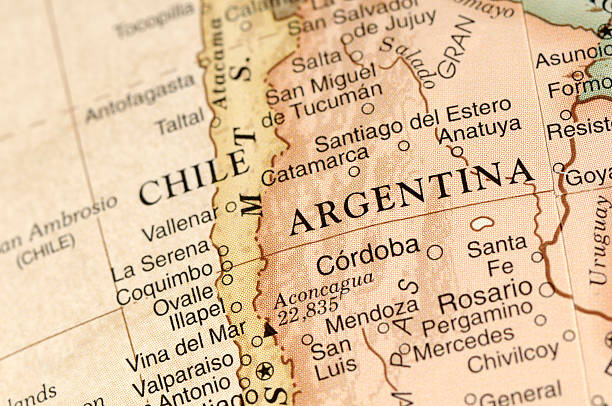
A close-up/macro photograph of Argentina from a desktop globe. Adobe RGB color profile.

LOS ANGELES, CALIFORNIA - JANUARY 18, 2023: Universal Studios Theme Park Main Entrance

Andromeda : https://esahubble.org/images/heic1112e/ Stars : https://esahubble.org/images/heic0910t/ Andromeda spiral galaxy on a starry night "Elements of this image furnished by NASA "