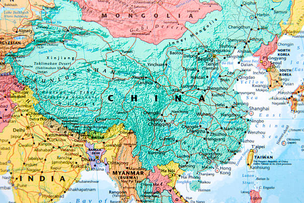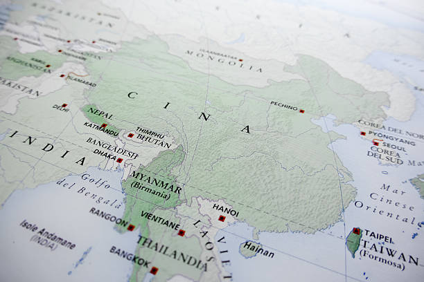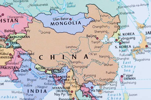
China political map with capital Beijing, national borders, important cities, rivers and lakes. English labeling and scaling. Illustration.
Browse 2,800+ cartography beijing map china stock photos and images available, or start a new search to explore more stock photos and images.
China political map with capital Beijing, national borders, important cities, rivers and lakes. English labeling and scaling. Illustration.
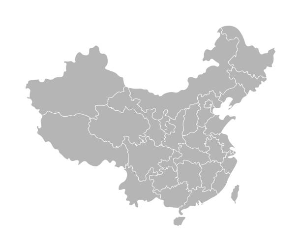
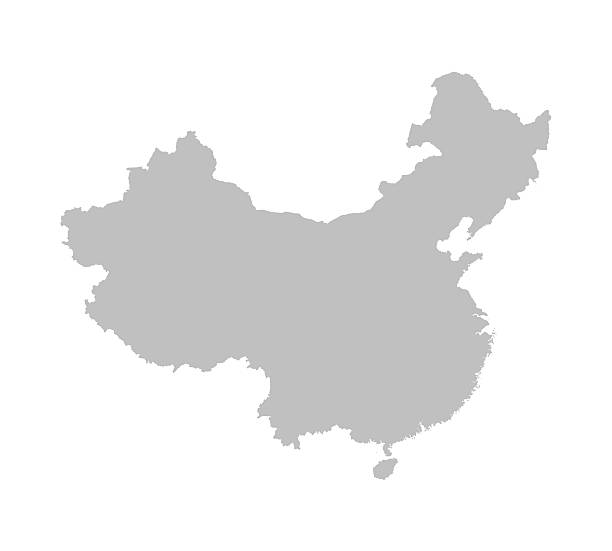
Vector isolated illustration of simplified administrative map of China. Borders of the provinces (regions). Grey silhouettes. White outline.
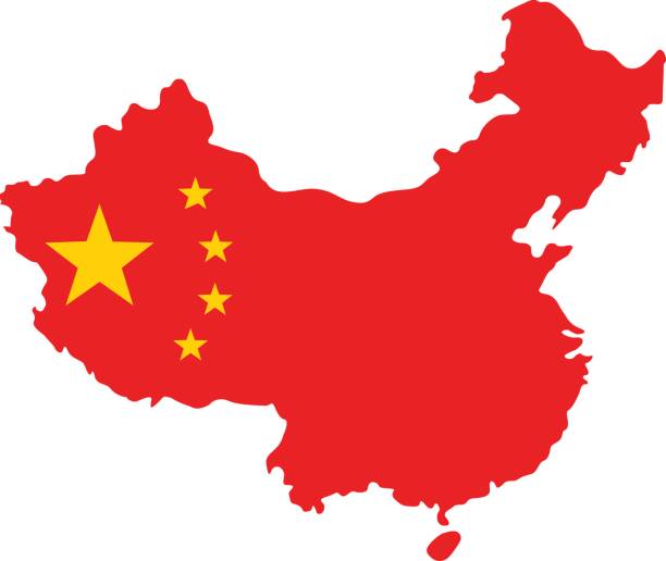
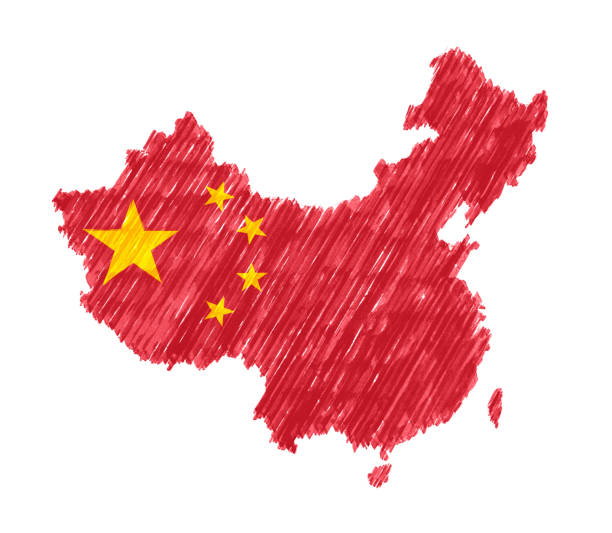
vector illustration of China map and flag
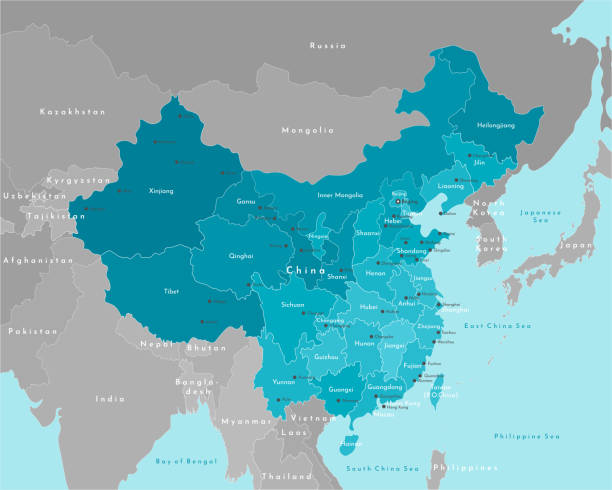
Vector modern illustration. Simplified geographical map of China and nearest states on continent. Blue background of seas. Names of the cities (Beijing) and provinces.

vector illustration of China map and flag
Travel Landmark Icons - Thin Line Vector illustration

Map of China for your own design. Three maps with editable stroke included in the bundle: - One black map on a white background. - One line map with only a thin black outline in a line art style (you can adjust the stroke weight as you want). - One map on a blank transparent background (for change background or texture). The layers are named to facilitate your customization. Vector Illustration (EPS file, well layered and grouped). Easy to edit, manipulate, resize or colorize. Vector and Jpeg file of different sizes.
Peoples Republic of China, PRC, gray political map. Area controlled by China in yellow color, and claimed but uncontrolled regions shown in brown. English labeling. Illustration over white. Vector.
minimal editable stroke china map icon. flat lineart modern change line thickness graphic design infographic elements isolated on white background. concept of borders of the chinese state
Highly detailed vector map of China with regions, capital and big cities.
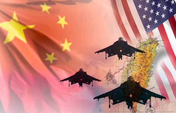
China and taiwan tensions and war concept. Fighter aircraft silhouettes over a blurred map of taiwan with Chinese and USA flags on the background. Suitable for tensions between mainland China and Taiwan and Taiwan invasion

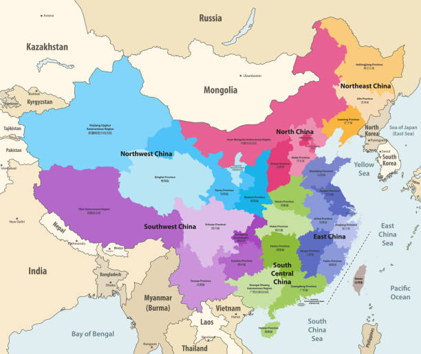
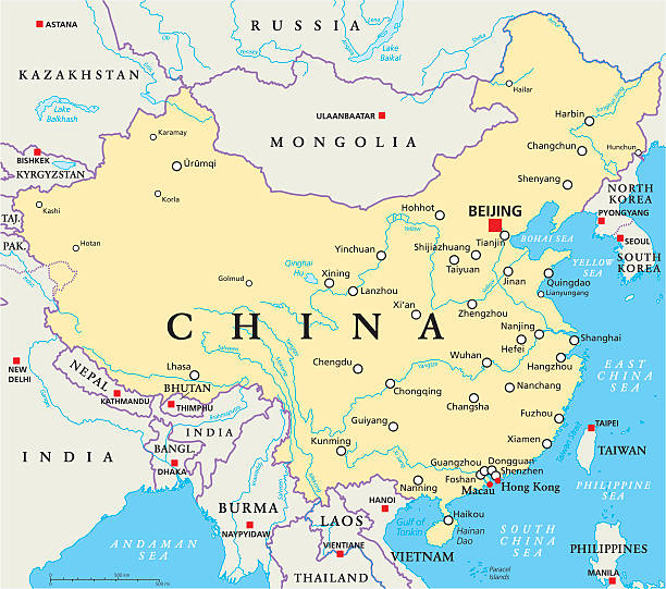
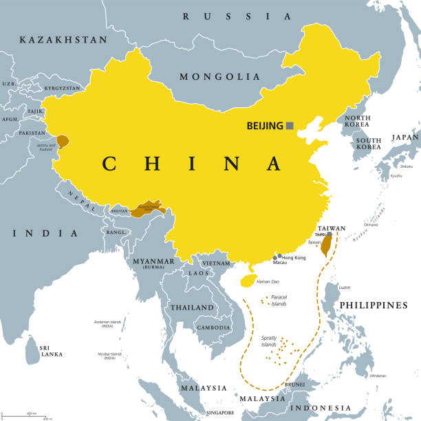
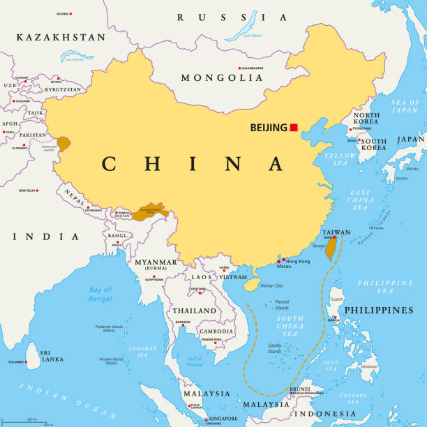
China, political map, with administrative divisions. PRC, People's Republic of China, capital Beijing, provinces with capitals, borders and neighbor countries. English labeling. Illustration. Vector.
Travel Landmark Icons - Thin Line Vector illustration

Vector modern illustration. Simplified isolated administrative map of China (PRC). White background and outlines. Names of some cities (Beijing, Hong Kong) and chinese provinces

Illustrated map of China. Vector illustration for kid and children. Chinese travel landmarks. Asian abstract map

China dotted map in futuristic style, glowing outline made of stars lines dots. Communication, internet technology concept on dark blue background. Vector illustration EPS10

Map of China with capital
Peoples Republic of China, PRC, political map. Area controlled by China in yellow, and claimed but uncontrolled regions shown in orange. Capitals and borders. English labeling. Illustration. Vector.

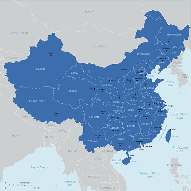
Administrative divisions of China vector map
Fun sketch collection of Chinese icons, countries alphabet

Beijing / China - August 8, 2016: Electronic route display of Beijing subway Line 10

China map glowing silhouette outline made of stars lines dots triangles, low polygonal shapes. Communication, internet technologies concept. Wireframe futuristic design. Vector illustration.

China map with provinces. All territories are selectable. Vector illustration

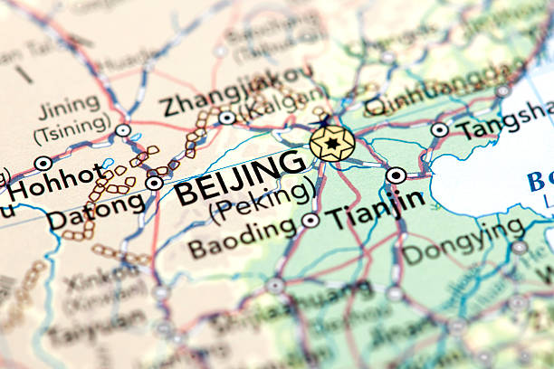
Historical city map of Beijing (Peking), capital city of China. Wood engraving, published in 1897.

Map of China,vector illustration. EPS 10.
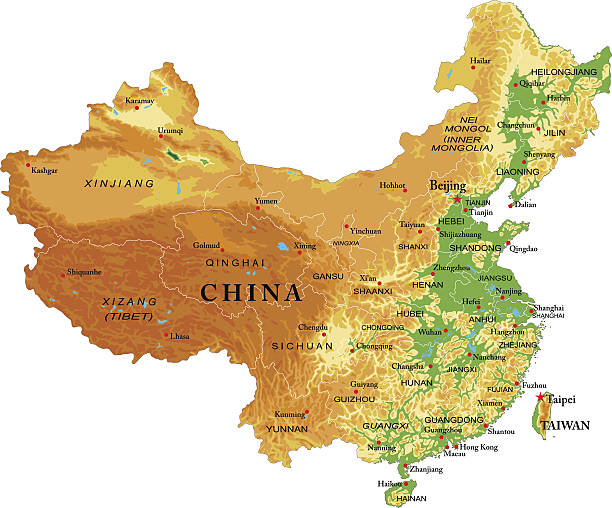
Highly detailed physical map of China in vector

Colorful China political map with selectable territories. Vector illustration

Paper boats with the colors of the USA and China surrounding the island of taiwan on a map. China and taiwan war and conflict concept.
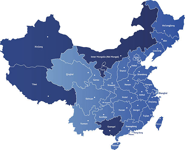
Detailed vector map of China with the names of the provinces. Each of provinces you can separate and use as individal map.

China flag pointing Beijing in cheap plastic globe. Shallow depth of field, focus on flag
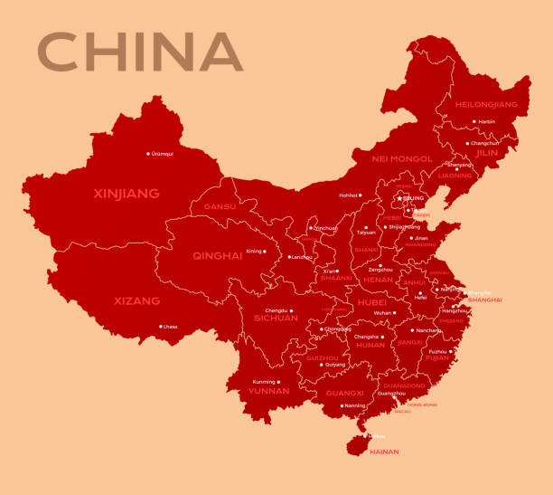
Map of China. Chinese administrative districts and divisions.

China blueprint map template with capital city. Beijing marked on blueprint Chinese map. Vector illustration.

Silhouette of China country map. Gray editable map of China with waving national flag and Beijing city capital, East Asia country territory borders vector illustration on white background

"Detailed map of China with all the provinces and regions, separated and north oriented. On a hidden layer there is Taiwan too. Objects are on seven layers and global colors are used for easy editing."

Detailed map of people's Republic of China is made of dot, pixel. Vector illustration.
http://s017.radikal.ru/i404/1110/87/2c00b7bbd3ec.jpg

China Map and infographic elements. Detailed vector illustration of map.

High detailed China physical map with labeling. Organized vector illustration on seprated layers.
Vector isometric map of China with icons of the city, roads and routes of airplanes. EPS 10 file.

China provinces map with name labels vector. Perfect for business concepts, backgrounds, backdrop, poster, sticker, banner, label, chart and wallpaper.

This vector map is accurately prepared by a GIS and remote sensing expert with highly detailed information.