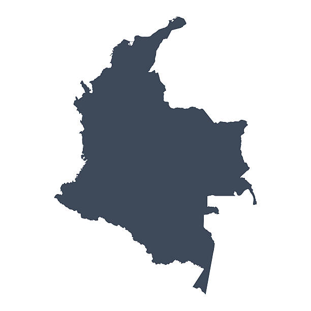
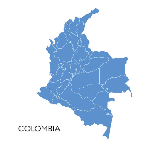
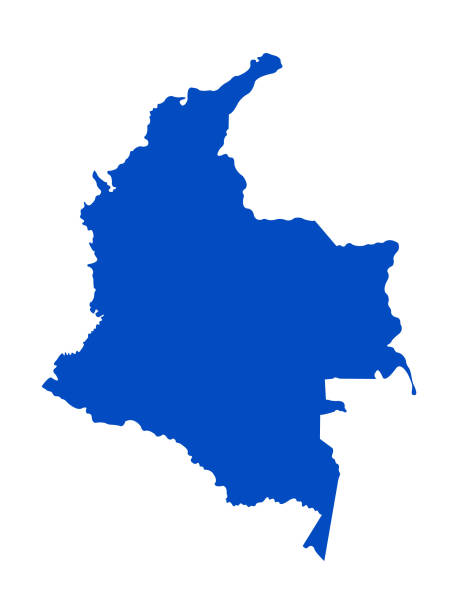
A graphic illustrated vector image showing the outline of the country Colombia. The outline of the country is filled with a dark navy blue colour and is on a plain white background. The border of the country is a detailed path.
Browse 27,300+ colombia on map stock photos and images available, or start a new search to explore more stock photos and images.
A graphic illustrated vector image showing the outline of the country Colombia. The outline of the country is filled with a dark navy blue colour and is on a plain white background. The border of the country is a detailed path.
Map of Colombia. Selective Focus.

Colombia - highly detailed blue map. Vector illustration
Vector illustration of the map of Colombia
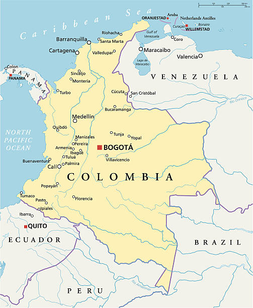
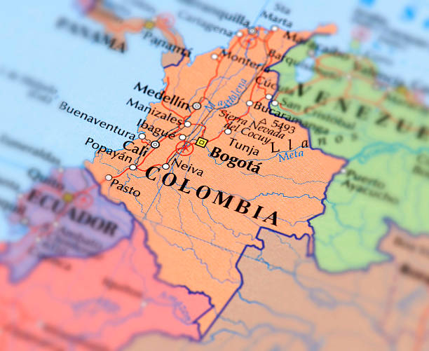
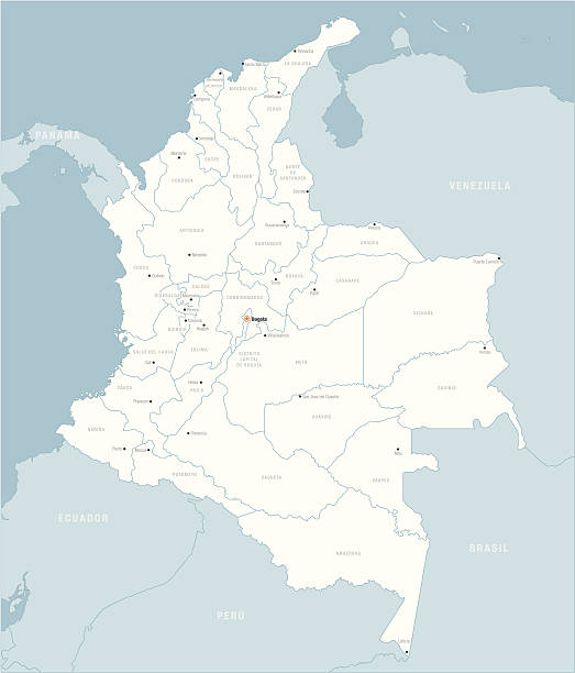
Political map of Colombia with capital Bogota, national borders, most important cities, rivers and lakes. Illustration with English labeling and scaling.

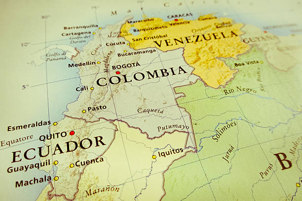
Bogota, Colombia map. Source: "World reference atlas"
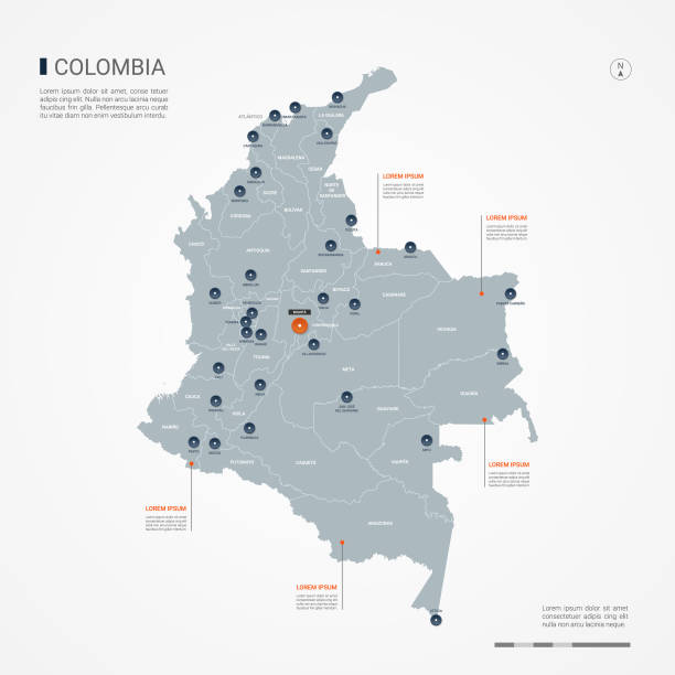
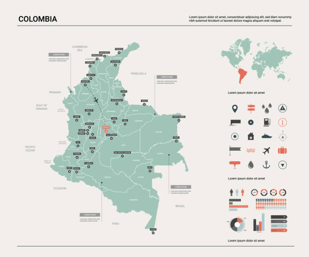
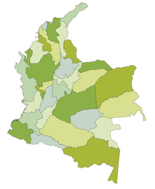
Colombia map with borders, cities, capital and administrative divisions. Infographic vector map. Editable layers clearly labeled.
Map of Colombia. Vector illustration. World map
vector illustration of Colombia map
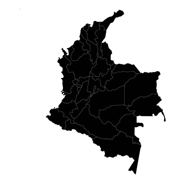
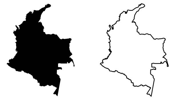
Colombia Map vector black silhouette with High detailed including black and white outline on white background. Vector illustration EPS10

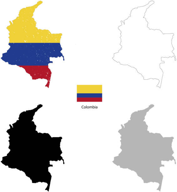
Colombia detailed map with flag of country. Painted in watercolor paint colors in the national flag.

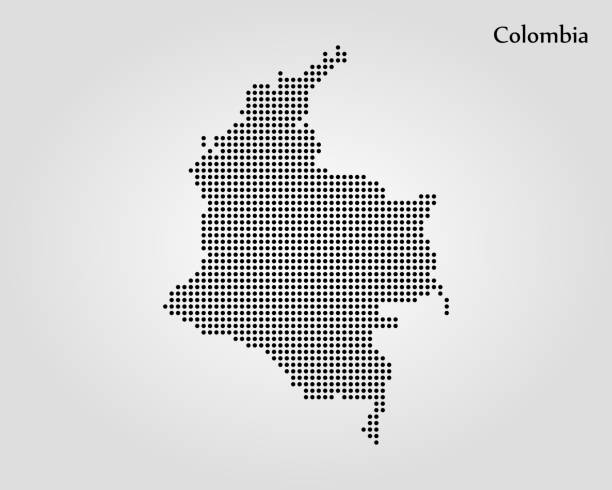
Map of Colombia sketched and isolated on a blank background. The map is gray with a black outline. Vector Illustration (EPS file, well layered and grouped). Easy to edit, manipulate, resize or colorize. Vector and Jpeg file of different sizes.
Studying geography - Photo of Venezuela, Columbia, and Guyana on retro globe.

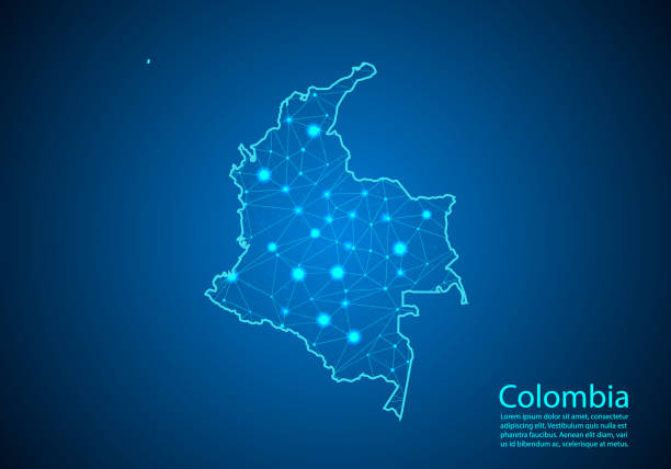
Abstract image Colombia map from point blue and glowing stars on a dark background. Vector Illustration.

3D rendering and image composing: Topographic Map of Colombia. Including country borders, rivers and accurate longitude/latitude lines. High resolution available! High quality relief structure!
Colombia country black silhouette and with flag on background, isolated on white

Bright illustrated map of Colombia with symbols, icons, famous destinations, attractions. For travel guides, banners, posters

Highly detailed physical map of the Colombia,in vector format,with all the relief forms,regions and big cities.
Colombia map shape, travel web flat concept icon symbol vector illustration .
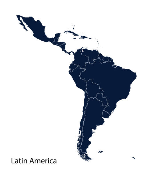
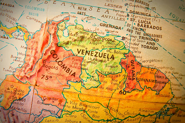
Latin America map, North America, Caribbean, Central America, South America.
Map Latin America. Poster map of Latin America. Black and white print map of Latin America for t-shirt, poster or geographic themes. Hand-drawn graphic map with countries. Vector Illustration
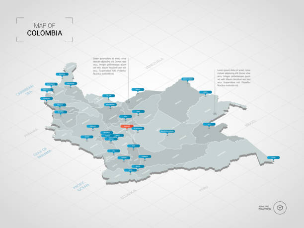
Isometric 3D Colombia map. Stylized vector map illustration with cities, borders, capital, administrative divisions and pointer marks; gradient background with grid.

3D Render of a Topographic Map of Colombia. All source data is in the public domain.Color texture: Made with Natural Earth. http://www.naturalearthdata.com/downloads/10m-raster-data/10m-cross-blend-hypso/Relief texture: SRTM data courtesy of NASA JPL (2020). URL of source image: https://e4ftl01.cr.usgs.gov//DP133/SRTM/SRTMGL3.003/2000.02.11Water texture: SRTM Water Body SWDB:https://dds.cr.usgs.gov/srtm/version2_1/SWBD/Boundaries Level 0: Humanitarian Information Unit HIU, U.S. Department of State (database: LSIB)http://geonode.state.gov/layers/geonode%3ALSIB7a_Gen

Vintage Map of the Andes Mountains in Ecuador, Venezuela and Columbia. Vintage etching circa late 19th century.

Map of Colombia - Vector illustration
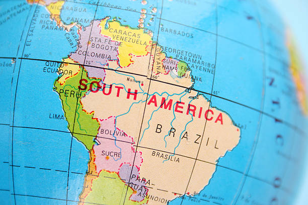
Closeup view of northern part of Southamerican section of cheap plastic globe
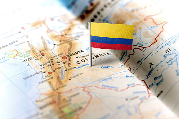
The flag of Colombia pinned on the map. Horizontal orientation. Macro photography.

White map of Colombia isolated on a gray background with a long shadow effect and in a flat design style. Vector Illustration (EPS10, well layered and grouped). Easy to edit, manipulate, resize or colorize.

Topographic / Road map of Bogota, Columbia. Original map data is open data via OpenStreetMap contributors. All maps are layered and easy to edit. Roads are editable stroke.
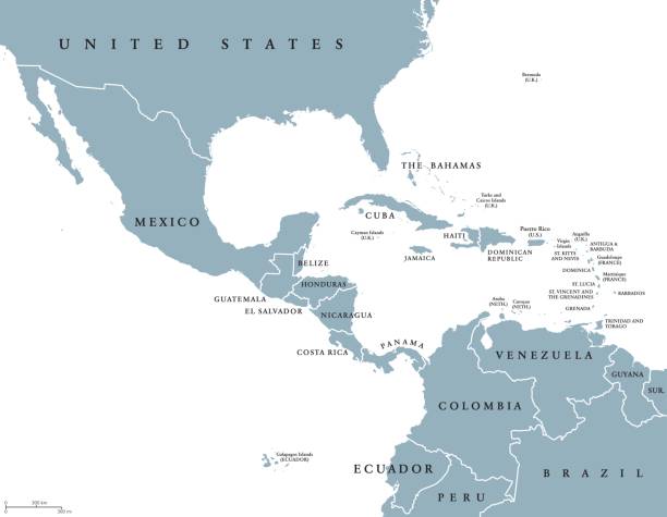
Middle America political map with borders and English labeling. Countries of southern North America, the nations of Central America and the Caribbean. Gray illustration on white background. Vector.

3D render of a topographic map of Colombia. All source data is in the public domain. SRTM data courtesy of the U.S. Geological Survey.

Map of Colombia - Highly Detailed Vector illustration
Colombia map: (Political) 2008, Made in Adobe Illustrator (vector)
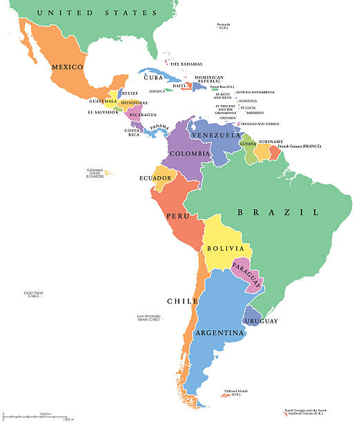
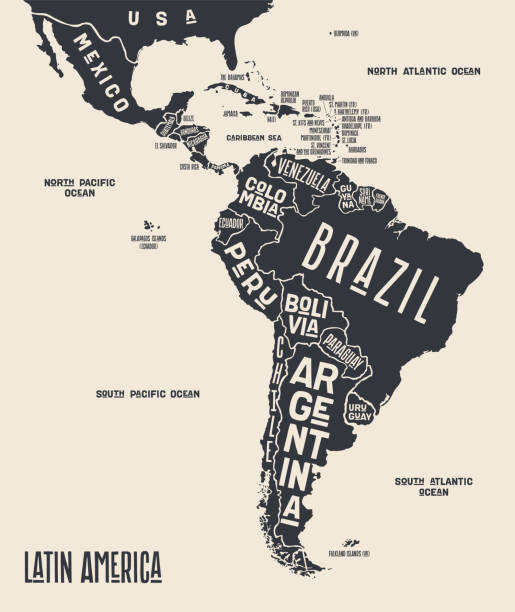
Latin America single states political map. Countries in different colors, with national borders and English country names. From Mexico to the southern tip of South America, including the Caribbean.

Colombia detailed map with regions and cities of the country. Vector illustration

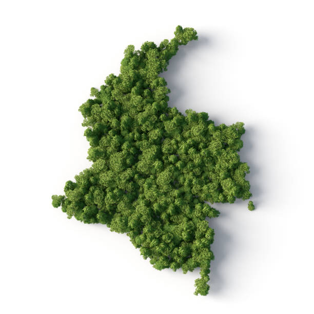
3D map of Colombia isolated on a blank and gray background, with a dropshadow. Vector Illustration (EPS10, well layered and grouped). Easy to edit, manipulate, resize or colorize.

Map of Colombia in a trendy vintage style. Beautiful retro illustration with old textured paper and light rays in the background (colors used: blue, green, beige and black for the outline). Vector Illustration (EPS10, well layered and grouped). Easy to edit, manipulate, resize or colorize.
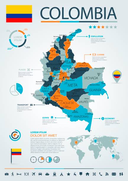
Map of Colombia - Infographic Vector illustration

Photo of pinned Bogota on a map of South America. May be used as illustration for traveling theme.

Global Connections, Business, Internet, Country, Colombia, Colombia Map

illustration of colombia with icons of country .vector illustration

Colombia line map. Editable high quality vector illustration isolated on white.

Highly detailed vector map of Colombia with states, capitals and big cities.