Images
1,097 Images and Stock Photos
View dallas tx map videos
Browse 1,000+ dallas tx map stock photos and images available, or start a new search to explore more stock photos and images.
Most popular

Dallas TX City Vector Road Map Blue Text. All source data is in the public domain. U.S. Census Bureau Census Tiger. Used Layers: areawater, linearwater, roads.

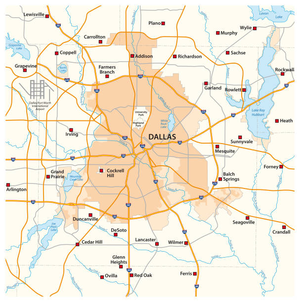
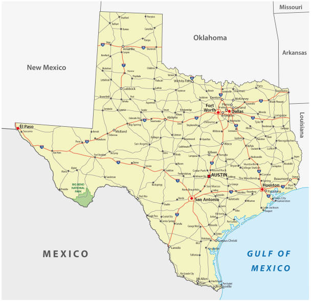
A map of the Dallas / Forth Worth area, including major freeways and highways. Includes major bodies of water, parks, airports and attractions (Dallas Zoo, Cowboy Stadium, etc.)

Our creative library is free of AI-generated contentChoose your visuals with confidence knowing our creative library is free from AI-generated content, so your searches only return safe, high-quality visuals you can trust.
Blue and White vector city map of Dallas with well organized separated layers
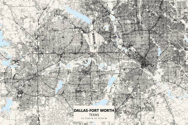
Poster Style Topographic / Road map of the Dallas - Fort Worth Metropolitan Area, TX, USA. Original map data is open data via © OpenStreetMap contributors

http://farm8.staticflickr.com/7189/6818724910_54c206caf8.jpg

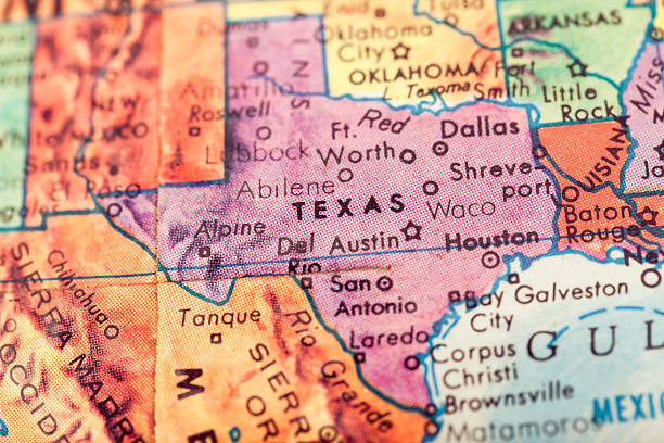
Dallas, TX .Source: "World reference atlas"


road vector map of the US states texas


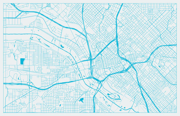
Topographic / Road map of the Dallas - Fort Worth Metropolitan Area, TX, USA. Original map data is open data via © OpenStreetMap contributors

Map of the USA with pin set on Dallas.
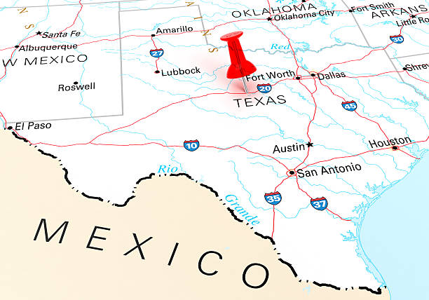
Red Thumbtack Over Texas State USA Map. 3D rendering

Map of Dallas, Texas State in US. Detail from the World Map.

Topographic / Road map of Arlington, Texas . USA United States of America. Original map data is open data via © OpenStreetMap contributors. All maps are layered and easy to edit. Roads are editable stroke.

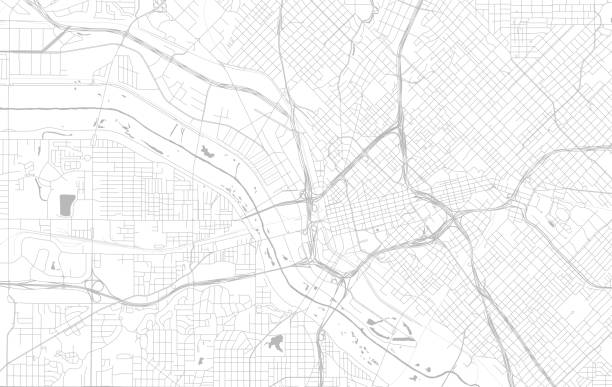
Topographic / Road map of Dallas, TX, USA.


19th century map of Texas. Published in New Dollar Atlas of the United States and Dominion of Canada. (Rand McNally & Co's, Chicago, 1884).


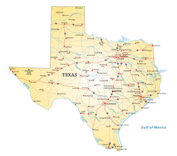
Texas, political map, with capital Austin, borders, important cities, rivers and lakes. State in the South Central region of the United States of America. English labeling. Illustration. Vector.

Map of Dallas, satellite view, city, Usa. 3d rendering
Studying Geography - Texas on retro globe.

Vector Illustration of a City Street Map of Dallas, Texas, USA. Scale 1:60,000. All source data is in the public domain. U.S. Geological Survey, US Topo Used Layers: USGS The National Map: National Hydrography Dataset (NHD) USGS The National Map: National Transportation Dataset (NTD)
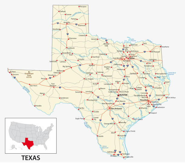
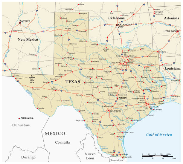
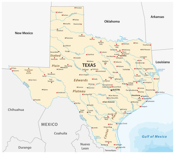
vector road map of the US American State of Texas.
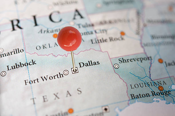
Close-up of Dallas on a map with a pin

Dallas City ( United States cities, United States of America, usa city) map vector illustration, scribble sketch City of Dallas map


Dallas TX City Vector Road Map Blue Horizontal. All source data is in the public domain. U.S. Census Bureau Census Tiger. Used Layers: areawater, linearwater, roads.
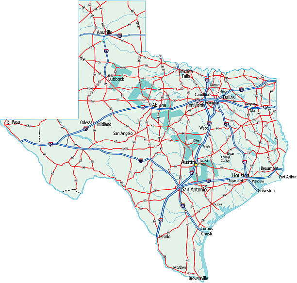
Street Map of the US State Texas


Map of Dallas. Detail from the World Atlas. Selective Focus.


"Dallas Map. Source: ""Reference Atlas of the World"""


Illustrated map of Texas state with landmarks and symbols.

"Dallas Map. Source: ""Reference Atlas of the World"""

3D Render of a Straight Pin at the Position of the City of Dallas on a Map of Texas. Vintage Color Style. Very high resolution available!


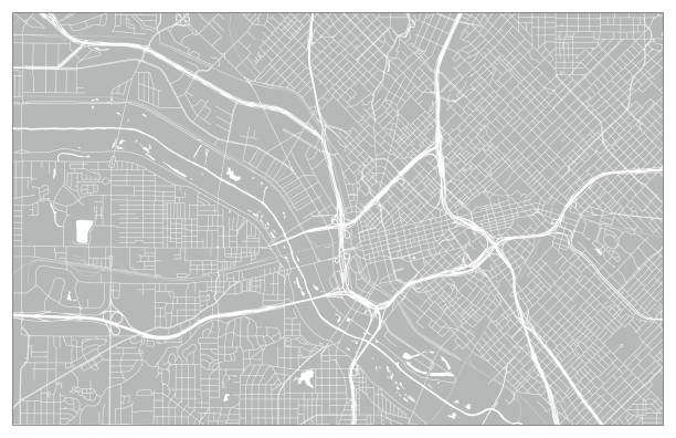
A map of downtown Dallas including roads, freeways, parks and attractions, all on separate layers. An extra-large JPG is also included.

Texas US State Vector Road Map Grey. All source data is in the public domain. Roads, Water, Regions, Urban Areas: Made with Natural Earth. https://www.naturalearthdata.com/downloads/10m-physical-vectors/ https://www.naturalearthdata.com/downloads/10m-cultural-vectors/

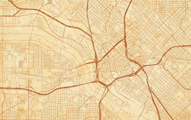
vector city map of Dallas on a vintage grunge paper with well organized separated layers

Topographic / Road map of Dallas, TX, USA.
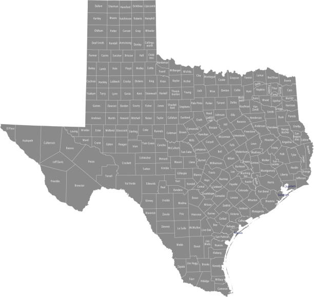
All counties have separate and accurate borders that can be selected and easily edited.

"A red pushpin on a map pointing to Dallas, Texas."

of19Next